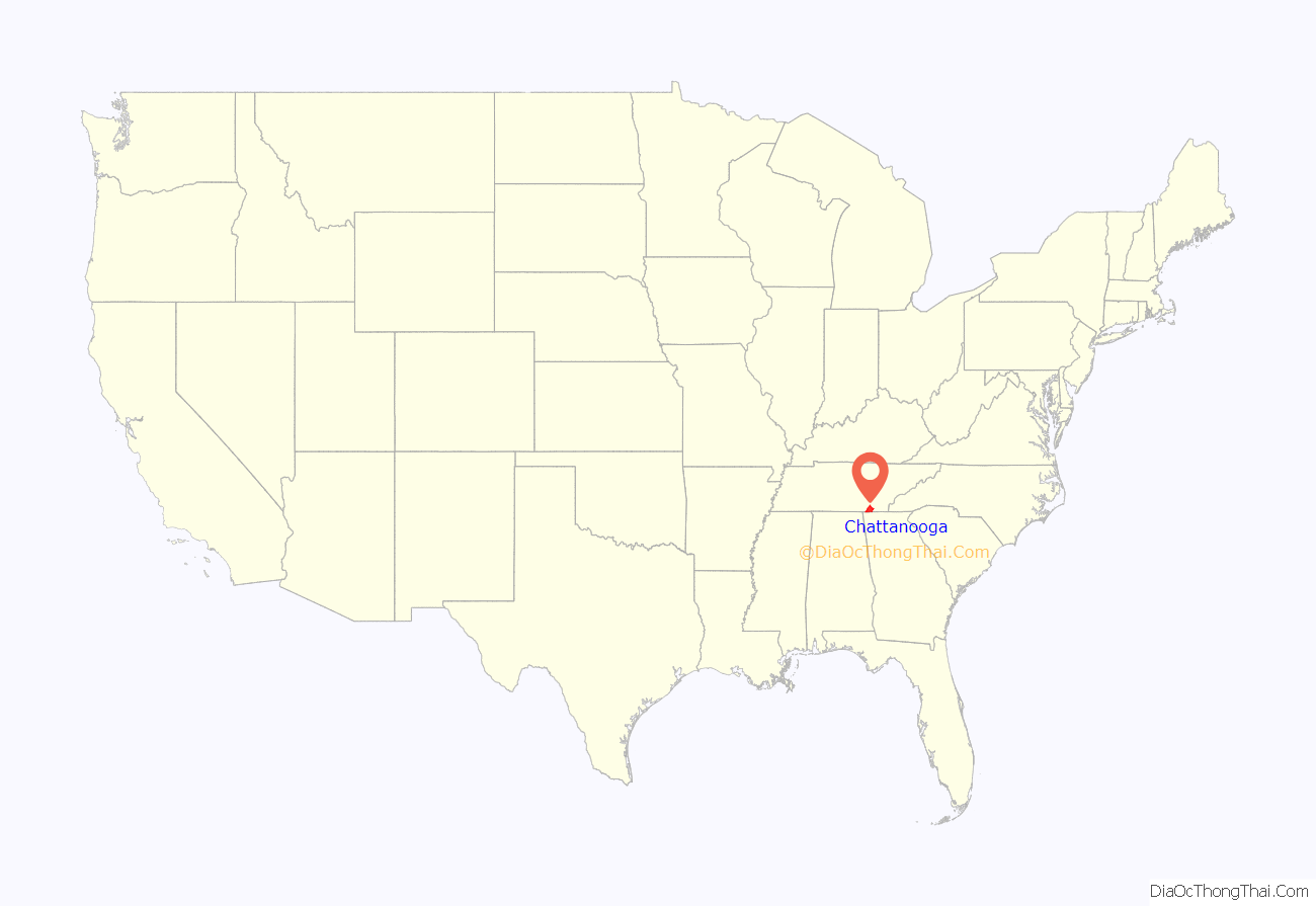
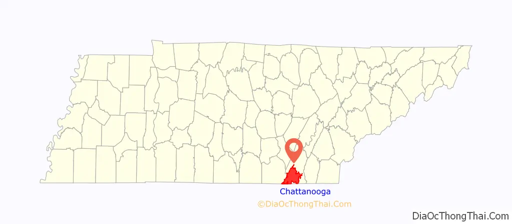
Chattanooga (/ˌtʃætəˈnuːɡə/ CHAT-ə-NOO-gə) is a city in and the county seat of Hamilton County, Tennessee, United States. Located along the Tennessee River bordering Georgia, it also extends into Marion County on its western end. With a population of 181,099 in 2020, it is Tennessee’s fourth-largest city and one of the two principal cities of East Tennessee, along with Knoxville. It anchors the Chattanooga metropolitan area, Tennessee’s fourth-largest metropolitan statistical area, as well as a larger three-state area that includes Southeast Tennessee, Northwest Georgia, and Northeast Alabama.
Chattanooga was a crucial city during the American Civil War, due to the multiple railroads that converge there. After the war, the railroads allowed for the city to grow into one of the Southeastern United States’ largest heavy industrial hubs. Today, major industry that drives the economy includes automotive, advanced manufacturing, food and beverage production, healthcare, insurance, tourism, and back office and corporate headquarters. Chattanooga remains a transit hub in the present day, served by multiple Interstate highways and railroad lines. It is 118 miles (190 km) northwest of Atlanta, Georgia, 112 miles (180 km) southwest of Knoxville, Tennessee, 134 miles (216 km) southeast of Nashville, Tennessee, 102 miles (164 km) east-northeast of Huntsville, Alabama, and 147 miles (237 km) northeast of Birmingham, Alabama.
Divided by the Tennessee River, Chattanooga is at the transition between the ridge-and-valley Appalachians and the Cumberland Plateau, both of which are part of the larger Appalachian Mountains. Its official nickname is the “Scenic City”, alluding to the surrounding mountains, ridges, and valleys. Unofficial nicknames include “River City”, “Chatt”, “Nooga”, “Chattown”, and “Gig City”, the latter a reference to its claims that it has the fastest internet service in the Western Hemisphere.
Chattanooga is internationally known from the 1941 hit song “Chattanooga Choo Choo” by Glenn Miller and his orchestra. It is home to the University of Tennessee at Chattanooga (UTC) and Chattanooga State Community College.
| Name: | Chattanooga city |
|---|---|
| LSAD Code: | 25 |
| LSAD Description: | city (suffix) |
| State: | Tennessee |
| County: | Hamilton County |
| Incorporated: | 1839 |
| Elevation: | 676 ft (206 m) |
| Land Area: | 142.35 sq mi (368.69 km²) |
| Water Area: | 7.73 sq mi (20.01 km²) |
| Population Density: | 1,272.19/sq mi (491.20/km²) |
| Area code: | 423 |
| FIPS code: | 4714000 |
| GNISfeature ID: | 1307240 |
| Website: | www.chattanooga.gov |
Discover the beauty of Chattanooga with our map collection. Our maps include an interactive road map, landmarks, and things to do. Plus, a detailed map of the city and surrounding areas.
Chattanooga is known for its breathtaking scenery and outdoor activities. Explore the city and its surrounding areas with our interactive map. From Lookout Mountain and Ruby Falls to the many parks and trails, there is something for everyone to enjoy.
This collection of Chattanooga maps is perfect for anyone looking to explore the city. Explore the city’s population of 180,000 people, or take a look at the top attractions near Chattanooga, Tennessee. Plus, our printable maps are great for anyone looking to explore the city and surrounding areas.
Online Interactive Map
Click on ![]() to view map in "full screen" mode.
to view map in "full screen" mode.
This interactive city guide is the perfect accompaniment for your trip to Chattanooga. Situated in the southern section of the state, the city of Chattanooga, also straddles a border with the state of Georgia. Due to its location along the Tennessee River and in the Appalachian Mountains, this city has a scenic view of the surrounding hills and valleys. Find out where to go, what to do, and what to eat in Chattanooga.
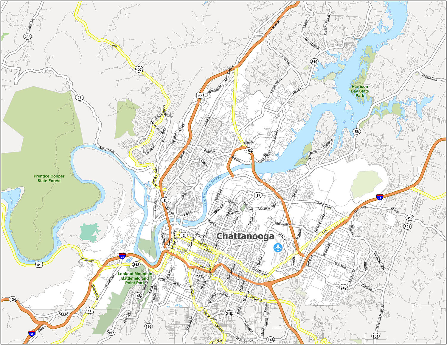
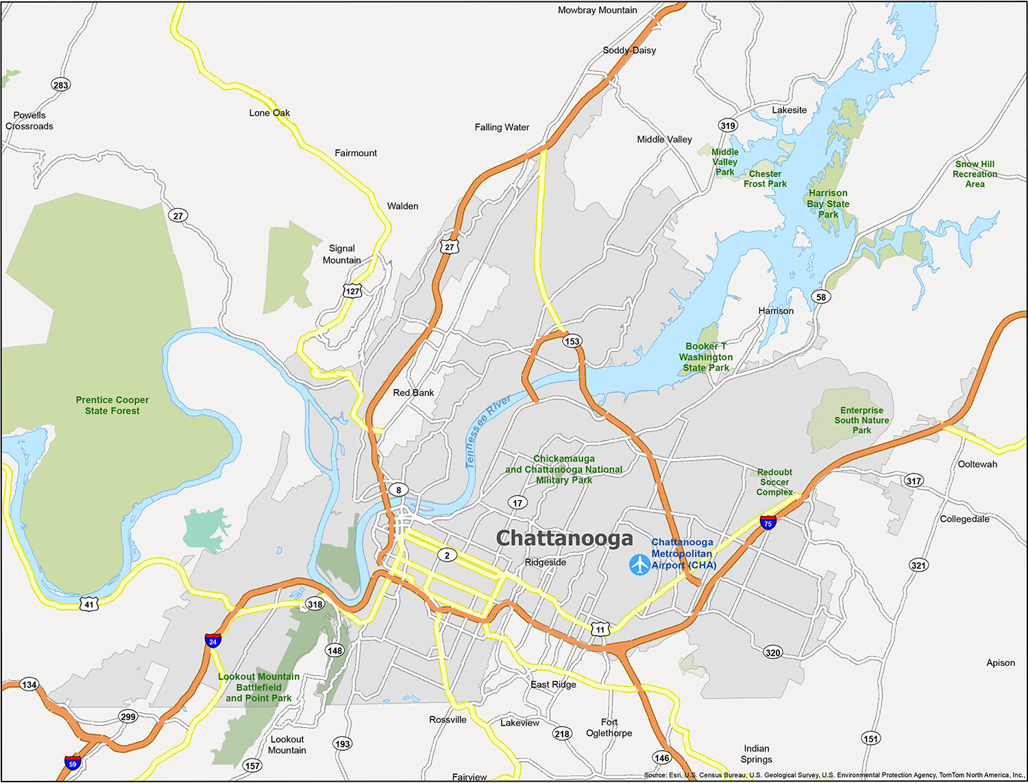
Chattanooga location map. Where is Chattanooga city?
Chattanooga Road Map
Whether you’re in town for a few days or a few weeks, be sure to print this map and discover all of the hidden gems in this lovely city. Because Chattanooga is a great place for an adventure, you can discover the best ways to get around the city and experience Chattanooga like a local. Or explore the rest of the state with the Tennessee road map.

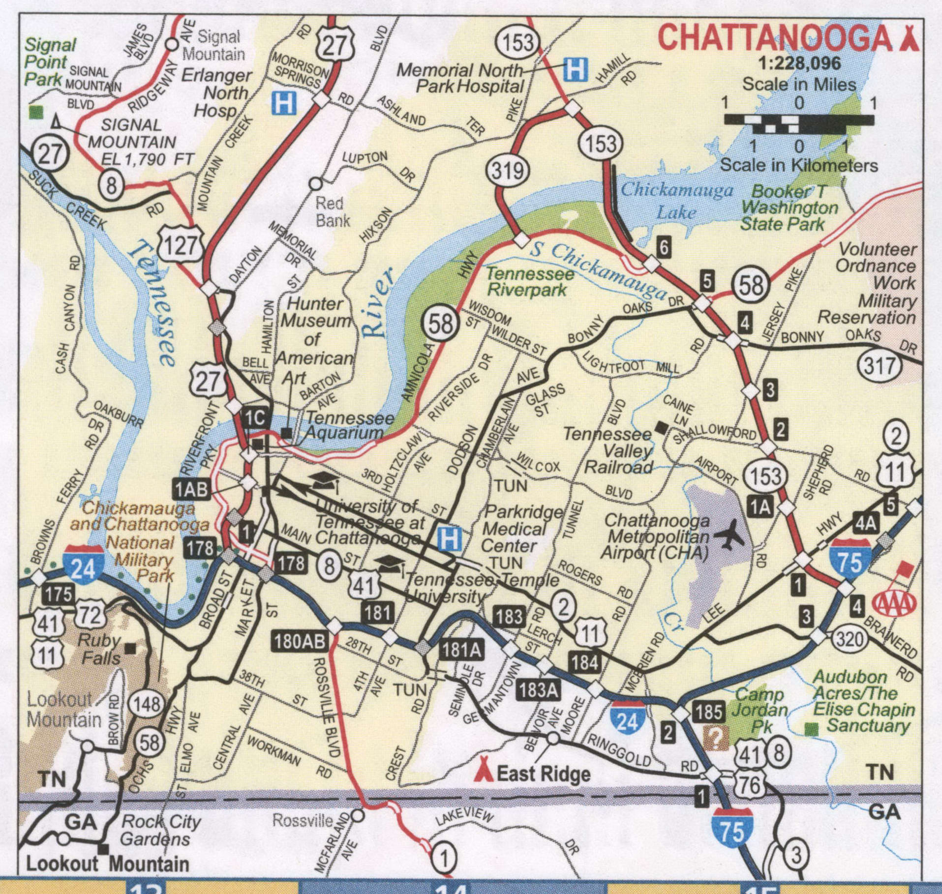
Are you ready to explore the city of Chattanooga? With this map of Chattanooga, you can easily explore the city’s attractions and city layout. From the Lookout Mountain to the Tennessee River, Chattanooga is full of natural beauty and exciting attractions. Whether you’re driving, walking, or riding a bike, this map will help you to plan your trip and make the most of your time in Chattanooga, Tennessee.
10 things to do in Chattanooga city
Chattanooga is a beautiful city with a rich history and plenty of things to do. Whether you’re looking for outdoor activities, cultural attractions, or a relaxing weekend getaway, Chattanooga has something for everyone. With this map, you can quickly and easily explore all that Chattanooga has to offer. From Lookout Mountain to the Tennessee Aquarium, there’s something for everyone to enjoy.
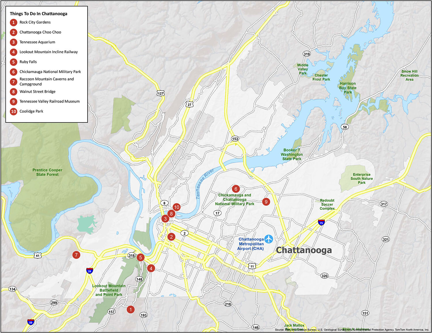
Discover the beauty and charm of Chattanooga with this map of the city’s top attractions. From the Lookout Mountain Incline Railway to the Rock City Gardens, there is something for everyone. Whether you’re looking for outdoor activities, cultural attractions, or a relaxing weekend getaway, Chattanooga has something for everyone. Plan your trip with ease and make the most of your time in this beautiful city.
Chattanooga is a city that is home to many attractions for tourists, including a famous zoo, aquarium, and botanical gardens. Additionally, there are plenty of recreational opportunities to explore, from Lookout Mountain and hiking opportunities in the nearby Appalachians. Our list of recommendations for Chattanooga, which is known for its beauty and nature, includes Rock City Gardens, the Chattanooga Choo Choo, the Tennessee Aquarium, Lookout Mountain Incline Railway, Ruby Falls, Chickamauga National Military Park, Raccoon Mountain Caverns and Campground, Walnut Street Bridge, Tennessee Valley Railroad Museum, and Coolidge Park. Discover the beauty and charm of Chattanooga with this map of the city’s top attractions and plan your trip with ease to make the most of your time in this beautiful city.
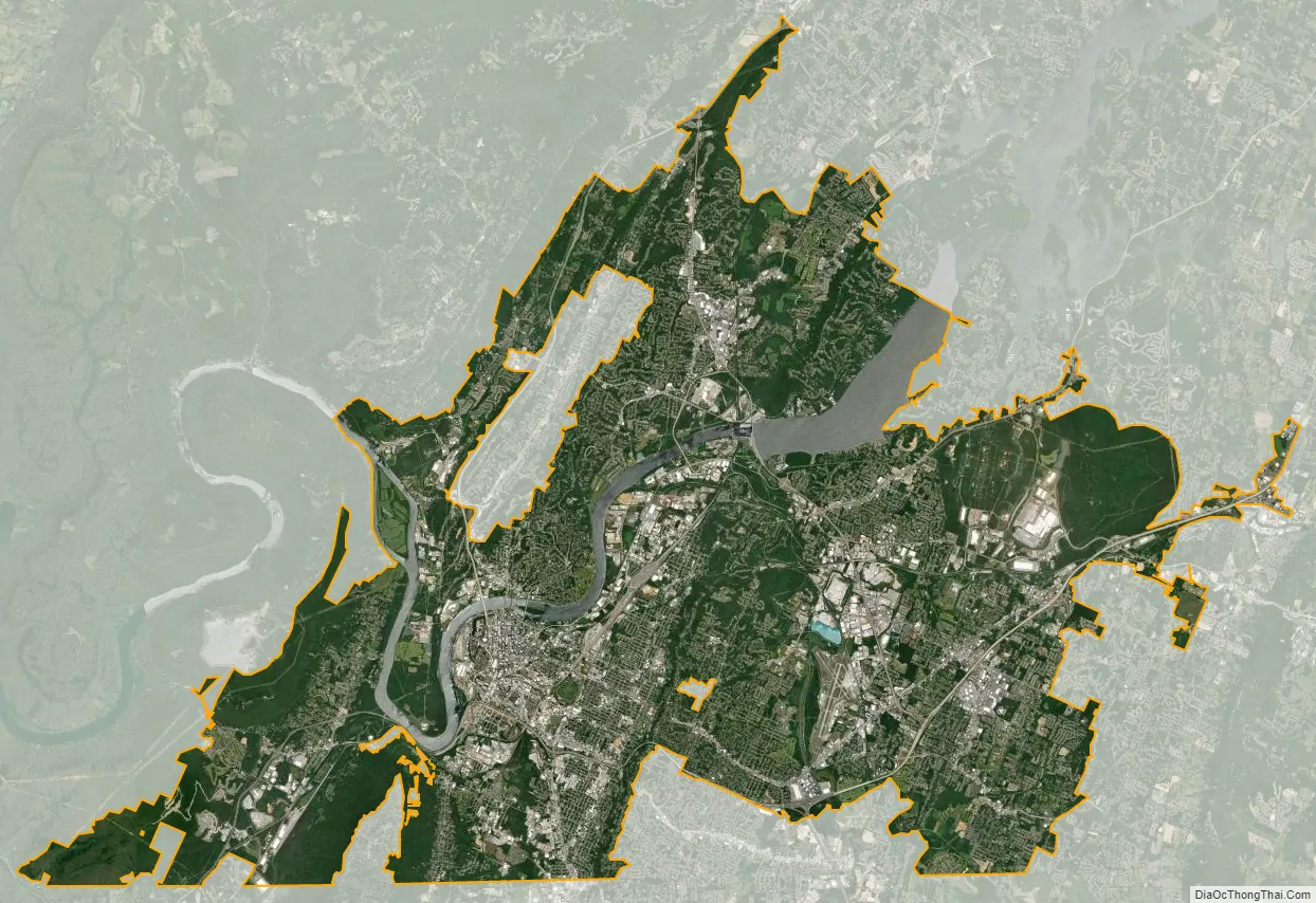
Chattanooga city Satellite Map
Geography
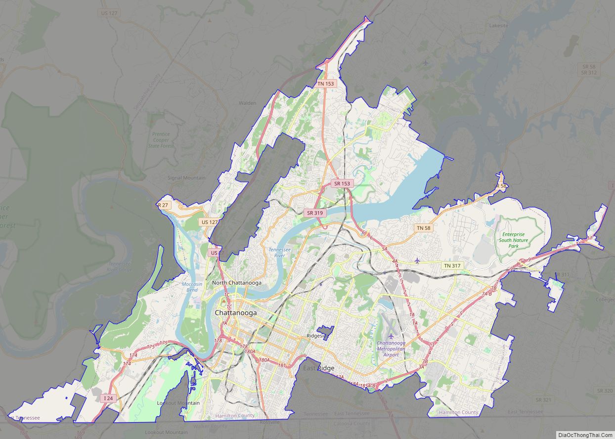
According to the United States Census Bureau, the city has a total area of 144.6 square miles (374.4 km), of which 137.1 square miles (355.2 km) are land and 7.4 square miles (19.2 km), or 5.12%, are water. The most prominent natural features in and around Chattanooga are the Tennessee River and the surrounding mountains. The Tennessee River is impounded by the Chickamauga Dam north of the downtown area. The city is nestled between the southwestern Ridge-and-valley Appalachians and the foot of Walden’s Ridge; the river separates the ridge from the western side of downtown. Several miles east, the city is bisected by Missionary Ridge. The downtown area sits at an elevation of approximately 676 feet (206 m), one of the lowest elevations in East Tennessee.
Cityscape
Downtown Chattanooga has a wide variety of entertainment, dining, cultural and architectural attractions, including the Tennessee Aquarium, opened in 1992; the Creative Discovery Museum, opened in 1995; and the historic Walnut Street Bridge, reopened in 1993. The downtown footprint is bounded by interstate highway I-24 on the south to Frazier Avenue in the Northshore, as well as US highway 27 in the west to Central Avenue in the east.
The modern downtown skyline is dominated by the Aquarium, the Republic Centre (tallest building in Chattanooga), John C. Portman Jr.’s the Westin (Gold Building), the James Building (Chattanooga’s first skyscraper), and The Block, a climbing gym with 5,000 square feet of functional climbing space. Chattanooga has buildings with historical significance, such as The Read House Hotel (the longest continuously operating hotel in the Southeastern United States), the Chattanooga Choo-Choo Hotel (a converted railroad terminal), the Maclellan Building, the Dome Building (once the home to the Chattanooga Times), and the Tivoli Theatre. The BlueCross BlueShield of Tennessee headquarters, atop Cameron Hill, is the second-largest LEED Gold-certified corporate campus in the nation.
Downtown Chattanooga has four main bridges over the Tennessee River: the Walnut Street Bridge, the Market Street Bridge, the Olgiati Bridge, and the Veterans Memorial Bridge. These bridges allow pedestrians to connect the Riverfront and Northshore to the Tennessee Riverwalk and Bluff View Art District. Downtown Chattanooga parks include Coolidge Park, Renaissance Park, Miller Park, Miller Plaza and Main Terrain Art Park. The Martin Luther King District runs parallel to the University of Tennessee at Chattanooga’s campus and features the largest mural in Chattanooga. The 40,000-square-foot mural was created by Philadelphia-based muralist Meg Saligman and seven other local artists.
In late 20th and early 21st centuries, substantial private and governmental resources have been invested in transforming the city’s tarnished image. In 1993, restoration of the Walnut Street Bridge was completed. An excellent specimen of the Camelback truss bridge, it is the oldest surviving bridge of its kind in the Southeastern United States, having been built in 1891. Efforts to improve the city include the “21st Century Waterfront Plan” – a $120 million redevelopment of the Chattanooga waterfront area, which was completed in 2005. The Tennessee Aquarium, which opened in 1992, has become a major waterfront attraction that has helped to spur neighborhood development. Since the opening of the aquarium, downtown Chattanooga has received over $5 billion of private investment, including nearly $1 billion from 2014 to 2018.
The city has won three national awards for outstanding “livability”, and nine Gunther Blue Ribbon Awards for excellence in housing and consolidated planning. Public art experts chose Passageways 2.0 City Thread from among 50 outstanding public art projects created in 2018 through the Public Art Network Year in Review program, a national program that recognizes compelling public art. In addition to winning various national and regional awards, Chattanooga has been in the national limelight numerous times. Chattanooga was the profile city of the August 2007 edition of US Airways Magazine. Chattanooga-based businesses have been recognized for their investment in solar energy. In December 2009, Chattanooga was ranked 8th out of America’s 100 largest metro areas for the best “Bang For Your Buck” city, according to Forbes magazine, which measured overall affordability, housing rates, and more.
Neighborhoods
Chattanooga has many buildings and three neighborhoods on the National Register of Historic Places: Ferger Place, Fort Wood, and St. Elmo. Additionally, Chattanooga has several local historic districts: Battery Place, Glenwood, Missionary Ridge, M.L. King, and Stringer’s Ridge. Four of these are formally managed as local historic districts by the city.
- East Brainerd
- Ferger Place
- Fort Wood
- Highland Park
- Lupton City
- Missionary Ridge
- St. Elmo
- Lookout Valley
- Tyner
Notable suburbs
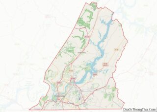
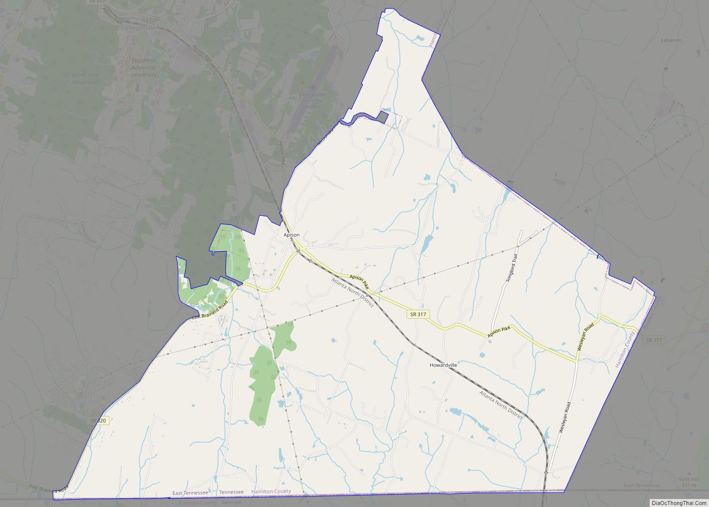
- Apison, Tennessee
- Chickamauga, Georgia
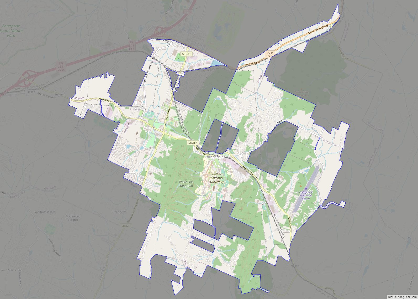
- Collegedale, Tennessee
- East Brainerd, Tennessee
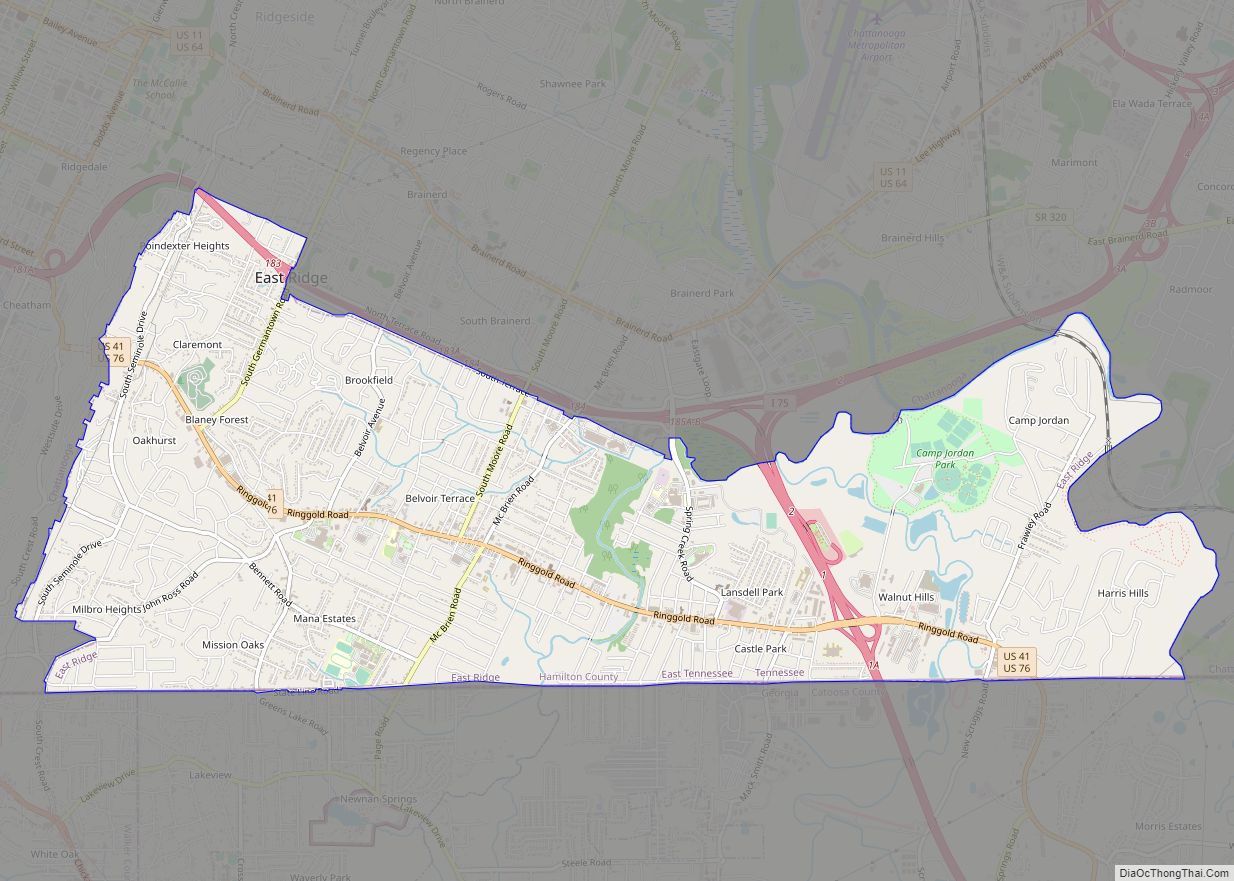
- East Ridge, Tennessee
- Fort Oglethorpe, Georgia
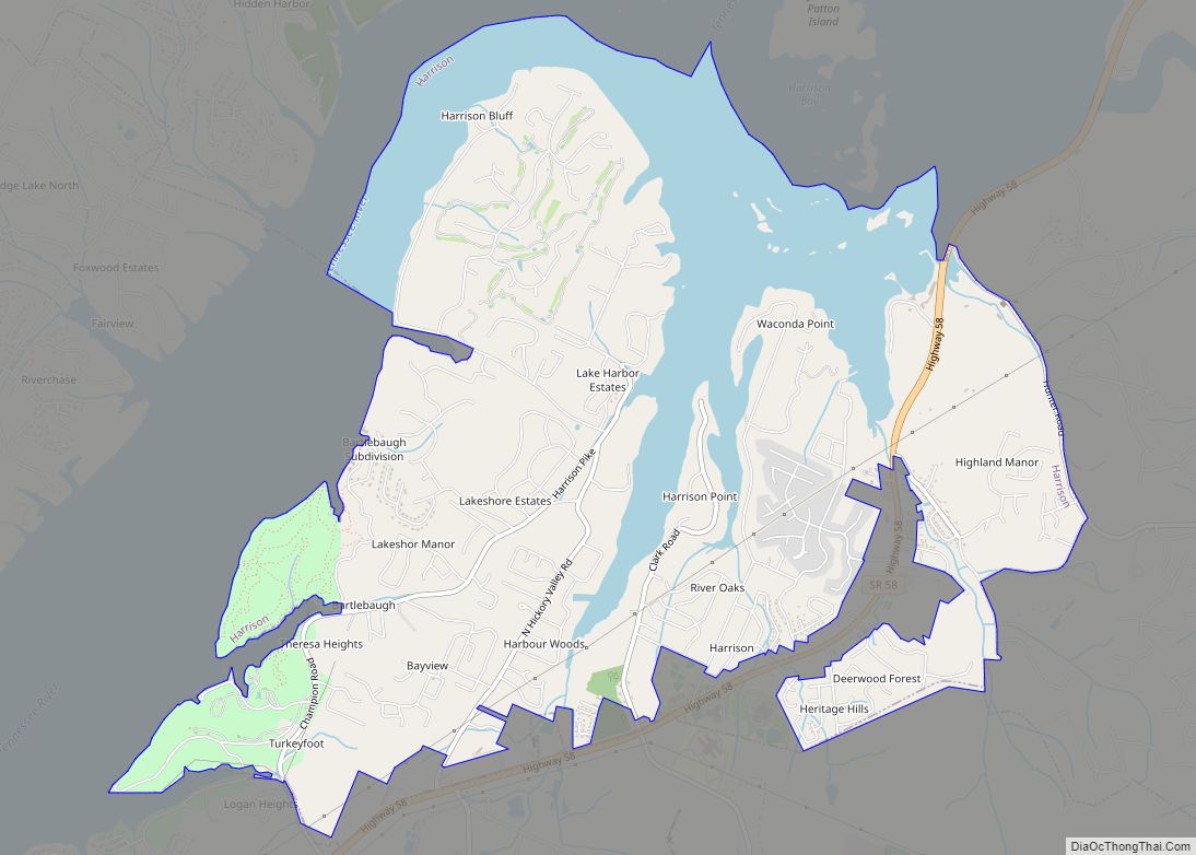
- Harrison, Tennessee
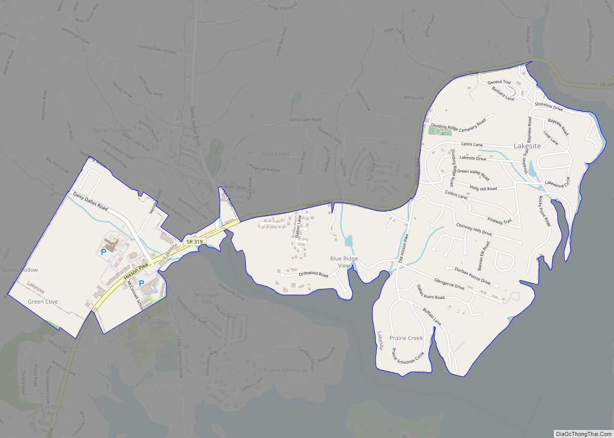
- Hixson, Tennessee
- LaFayette, Georgia
- Lookout Mountain, Georgia
- Lookout Mountain, Tennessee
- Ooltewah, Tennessee
- Red Bank, Tennessee
- Ridgeside, Tennessee
- Ringgold, Georgia
- Rossville, Georgia
- Sale Creek, Tennessee
- Signal Mountain, Tennessee
- Soddy-Daisy, Tennessee
- Trenton, Georgia
- Walden, Tennessee
Climate
Chattanooga, like much of Tennessee, has a four-season humid subtropical climate (Köppen Cfa). Winter days are usually mild, but most years have at least one day (average 3.2) where the high remains at or below freezing. Snowfall is highly variable from year to year. 11 inches (28 cm) were recorded between January 9–10, 2011. Summers are hot and humid, with a July daily mean of 80.0 °F (26.7 °C) and 52 days annually with 90 °F (32 °C) or greater temperatures. Chattanooga is the sixth fastest warming city in the United States due to climate change.
Average annual precipitation is over 52 inches (1,300 mm). On average, November through March represents an extended relatively wet period, because of Chattanooga’s frequent placement (in the winter season) in a zone of conflict between warm, moist air from the Gulf of Mexico and cold, dry air from Canada, amplified by jet-stream energy and abundant Gulf moisture. July presents a secondary maximum in precipitation, due to frequent thunderstorm activity. Despite the mountains that surround the city, Chattanooga has been affected by tornadoes. These tornadoes include the 2011 Super Outbreak, which impacted the city and nearby locations, including Apison and Cherokee Valley in Catoosa County, Georgia, where fifteen people died, eight in Apison and seven in Cherokee Valley. An EF3 tornado struck southeastern portions of Chattanooga on the night of April 12, 2020, and caused significant damage and three fatalities.
Time zone
Chattanooga uses the Eastern Time Zone. Counties directly to its west (in both Tennessee and Alabama) use the Central Time Zone.
See also
Map of Tennessee State and its subdivision:- Anderson
- Bedford
- Benton
- Bledsoe
- Blount
- Bradley
- Campbell
- Cannon
- Carroll
- Carter
- Cheatham
- Chester
- Claiborne
- Clay
- Cocke
- Coffee
- Crockett
- Cumberland
- Davidson
- Decatur
- DeKalb
- Dickson
- Dyer
- Fayette
- Fentress
- Franklin
- Gibson
- Giles
- Grainger
- Greene
- Grundy
- Hamblen
- Hamilton
- Hancock
- Hardeman
- Hardin
- Hawkins
- Haywood
- Henderson
- Henry
- Hickman
- Houston
- Humphreys
- Jackson
- Jefferson
- Johnson
- Knox
- Lake
- Lauderdale
- Lawrence
- Lewis
- Lincoln
- Loudon
- Macon
- Madison
- Marion
- Marshall
- Maury
- McMinn
- McNairy
- Meigs
- Monroe
- Montgomery
- Moore
- Morgan
- Obion
- Overton
- Perry
- Pickett
- Polk
- Putnam
- Rhea
- Roane
- Robertson
- Rutherford
- Scott
- Sequatchie
- Sevier
- Shelby
- Smith
- Stewart
- Sullivan
- Sumner
- Tipton
- Trousdale
- Unicoi
- Union
- Van Buren
- Warren
- Washington
- Wayne
- Weakley
- White
- Williamson
- Wilson
- Alabama
- Alaska
- Arizona
- Arkansas
- California
- Colorado
- Connecticut
- Delaware
- District of Columbia
- Florida
- Georgia
- Hawaii
- Idaho
- Illinois
- Indiana
- Iowa
- Kansas
- Kentucky
- Louisiana
- Maine
- Maryland
- Massachusetts
- Michigan
- Minnesota
- Mississippi
- Missouri
- Montana
- Nebraska
- Nevada
- New Hampshire
- New Jersey
- New Mexico
- New York
- North Carolina
- North Dakota
- Ohio
- Oklahoma
- Oregon
- Pennsylvania
- Rhode Island
- South Carolina
- South Dakota
- Tennessee
- Texas
- Utah
- Vermont
- Virginia
- Washington
- West Virginia
- Wisconsin
- Wyoming