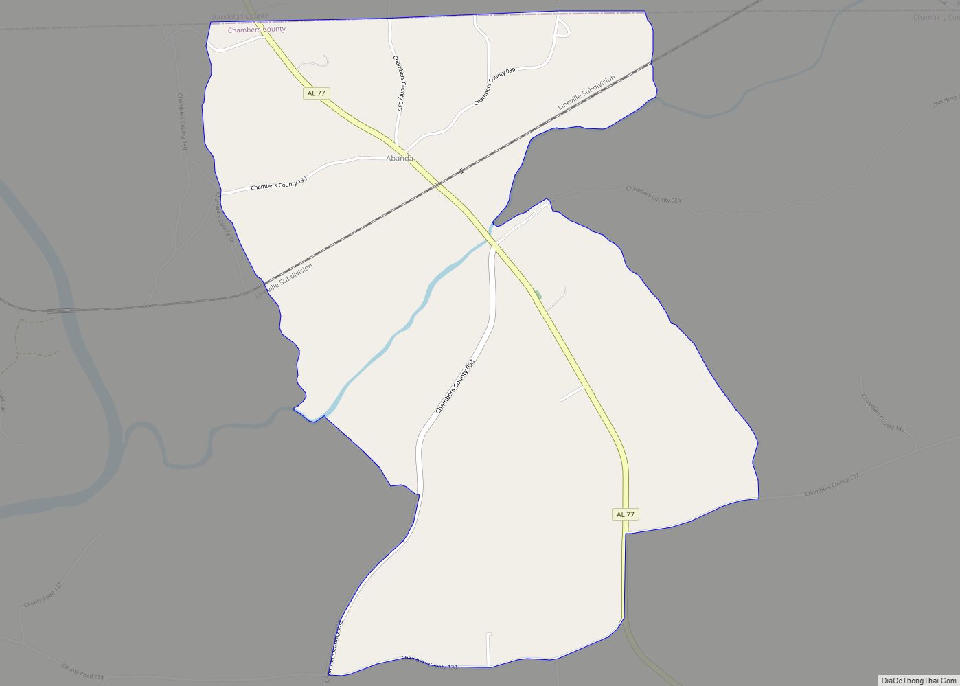
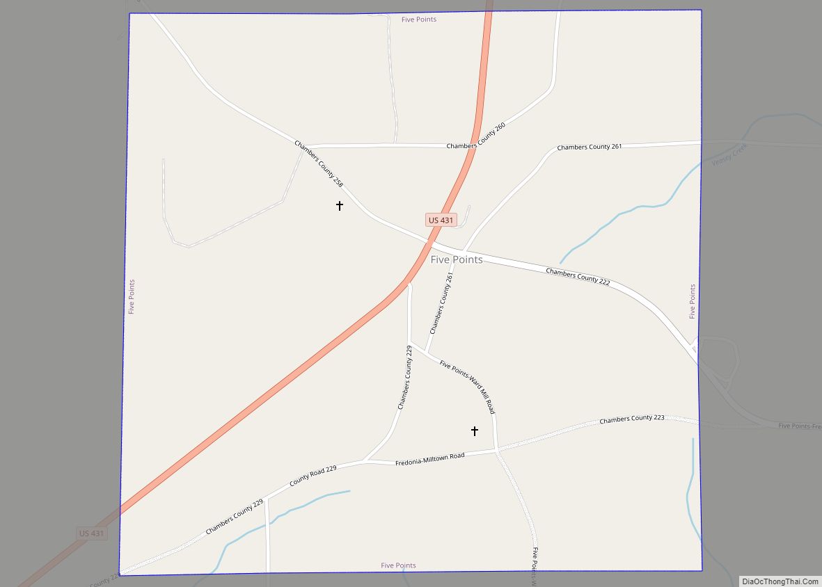
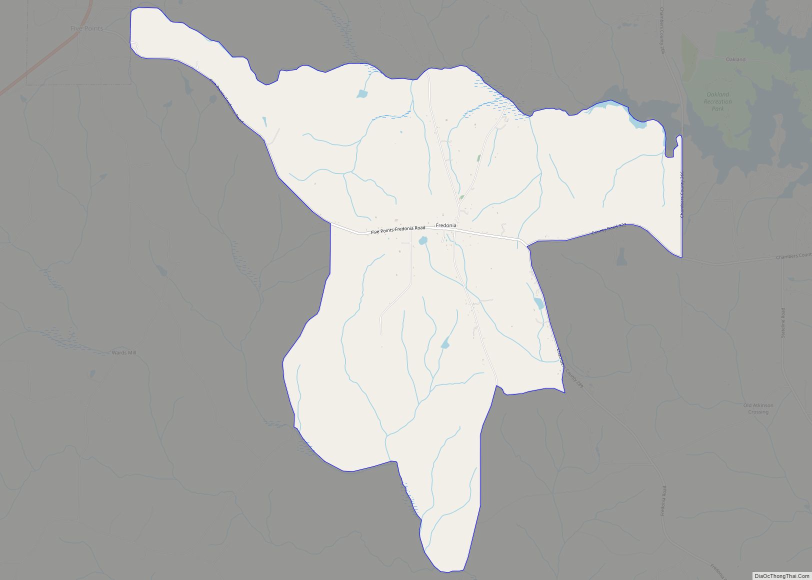
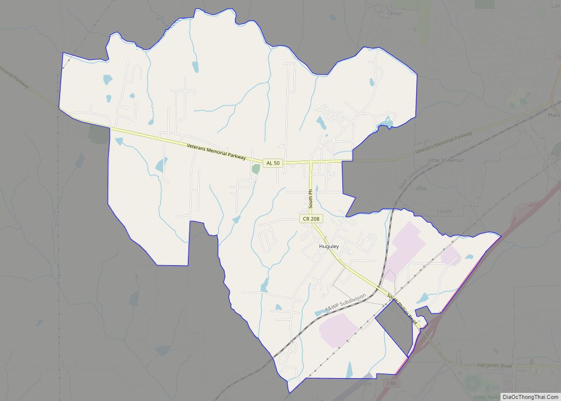
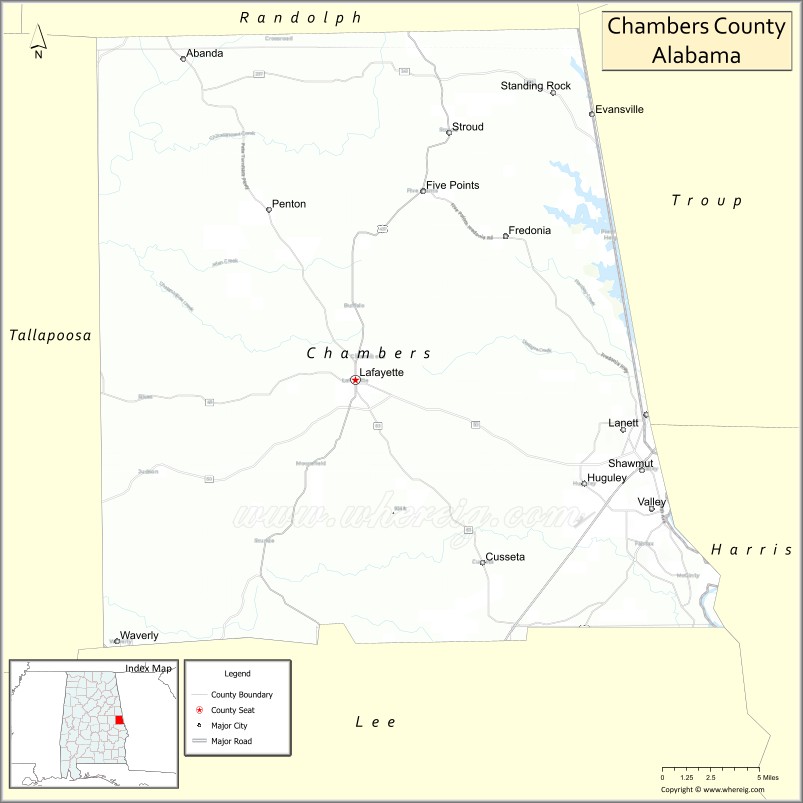
Chambers County is a county located in the east central portion of the U.S. state of Alabama. As of the 2020 census the population was 34,772. Its county seat is LaFayette. Its largest city is Valley. Its name is in honor of Henry H. Chambers, who served as a United States Senator from Alabama.
Chambers County is included in the LaGrange, GA Micropolitan Statistical Area and the Atlanta–Athens-Clarke–Sandy Springs Combined Statistical Area.
| Name: | Chambers County |
|---|---|
| FIPS code: | 01-017 |
| State: | Alabama |
| Founded: | December 18, 1832 |
| Named for: | Henry H. Chambers |
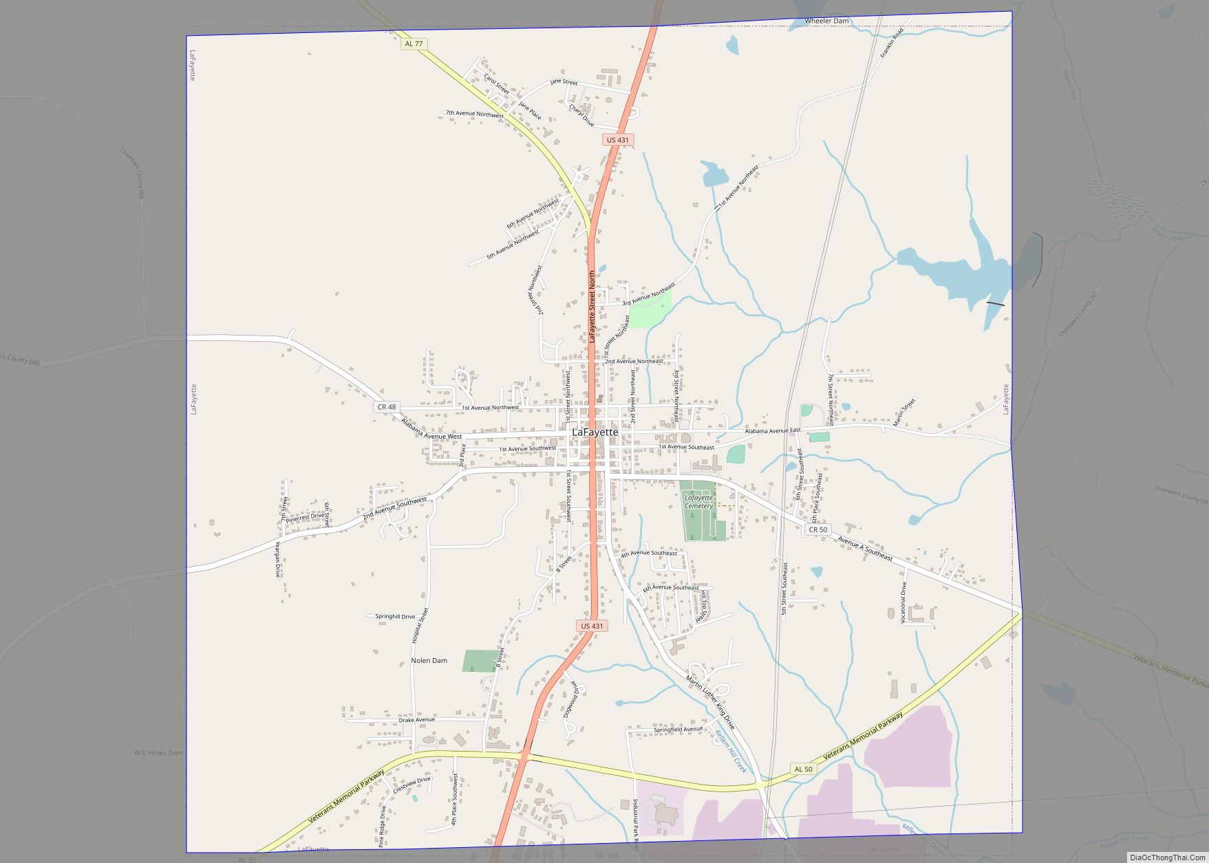
| Seat: | LaFayette |
| Largest city: | Valley |
| Total Area: | 603 sq mi (1,560 km²) |
| Land Area: | 597 sq mi (1,550 km²) |
| Total Population: | 34,772 |
| Population Density: | 58/sq mi (22/km²) |
| Time zone: | UTC−6 (Central) |
| Summer Time Zone (DST): | UTC−5 (CDT) |
| Website: | www.chamberscountyal.gov |
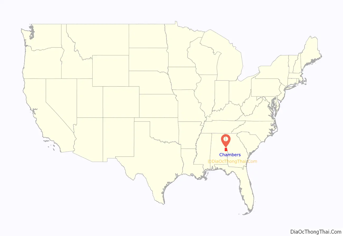
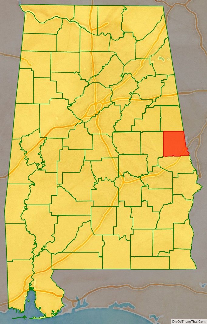
Chambers County location map. Where is Chambers County?
History
Prior to contact with people of European descent, what is now Chambers County was inhabited by the Creek nation.
Chambers County was established on December 18, 1832.
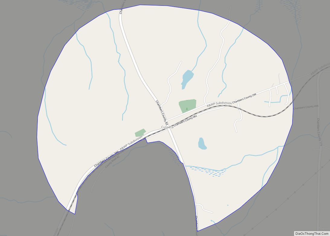
Pat Garrett, the lawman famed for killing outlaw Billy the Kid, was born near the town of Cusseta in 1850.
Joe Louis “The Brown Bomber”, renowned heavyweight boxing champion, was born near LaFayette, on Buckalew Mountain, May 13, 1914.
In 1980, Chambers County joined its four mill villages to make the city of Valley. Today, it is the largest city in the county.
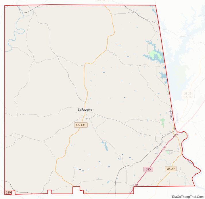
Chambers County Road Map
Geography
According to the United States Census Bureau, the county has a total area of 603 square miles (1,560 km), of which 597 square miles (1,550 km) is land and 6.6 square miles (17 km) (1.1%) is water.
Major highways
- Interstate 85
- U.S. Highway 29
- U.S. Highway 280
- U.S. Highway 431
- State Route 50
- State Route 77
- State Route 147
Adjacent counties
- Randolph County (north)
- Troup County, Georgia (east/EST Border)
- Harris County, Georgia (southeast/EST Border)
- Lee County (south)
- Tallapoosa County (west)
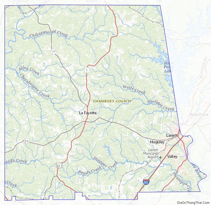
Chambers County Topographic Map
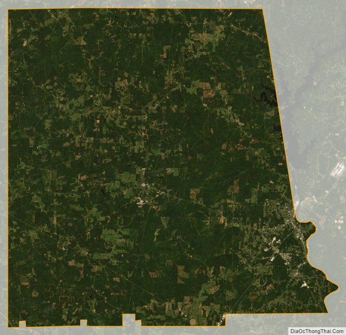
Chambers County Satellite Map
Chambers County Outline Map