Cusseta /kəˈsiːdə/ is a town in Chambers County, Alabama, United States. Situated between Opelika and Lanett, it was named for the ancient Creek Indian town of Cusseta. As of the 2010 census, its population was 123.
Pat Garrett, the lawman famed for killing the outlaw Billy the Kid, was born near Cusseta in 1850.
The community was believed to be unincorporated until 2006, when rediscovered documents indicated that Cusseta had been incorporated as a city in 1853. As the community diminished in size over the years, its status was forgotten.
| Name: | Cusseta town |
|---|---|
| LSAD Code: | 43 |
| LSAD Description: | town (suffix) |
| State: | Alabama |
| County: | Chambers County |
| Incorporated: | March 24, 1832 (Signing of the Treaty of Cusseta) |
| Elevation: | 722 ft (257 m) |
| Total Area: | 2.63 sq mi (6.80 km²) |
| Land Area: | 2.63 sq mi (6.80 km²) |
| Water Area: | 0.00 sq mi (0.00 km²) |
| Total Population: | 152 |
| Population Density: | 57.90/sq mi (22.36/km²) |
| ZIP code: | 36852 |
| Area code: | 334 |
| FIPS code: | 0119216 |
| GNISfeature ID: | 157931 |
Online Interactive Map
Click on ![]() to view map in "full screen" mode.
to view map in "full screen" mode.
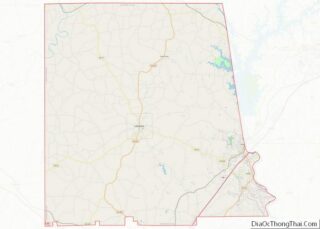
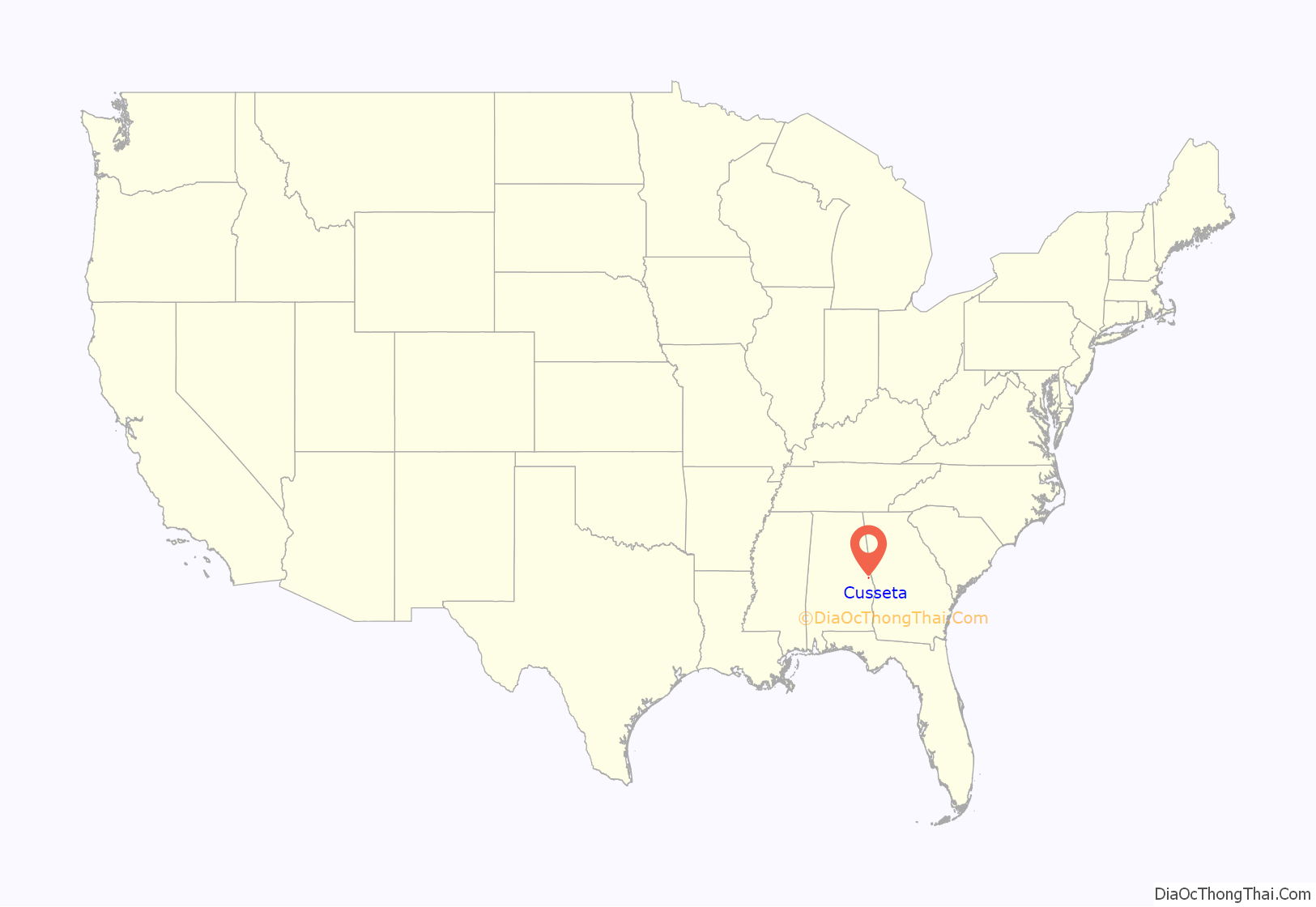
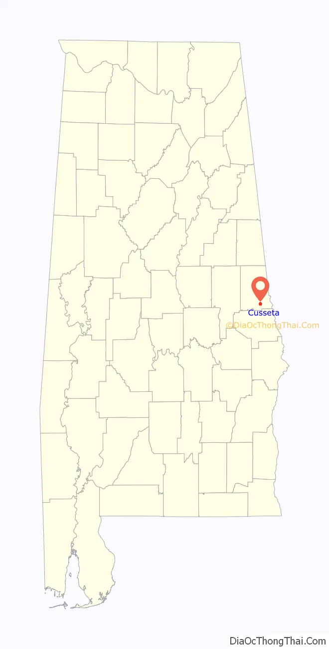
Cusseta location map. Where is Cusseta town?
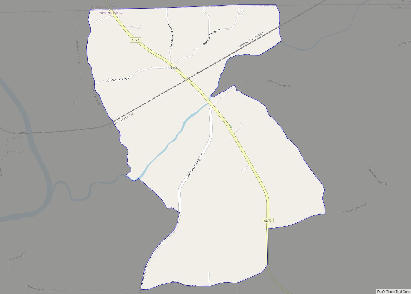
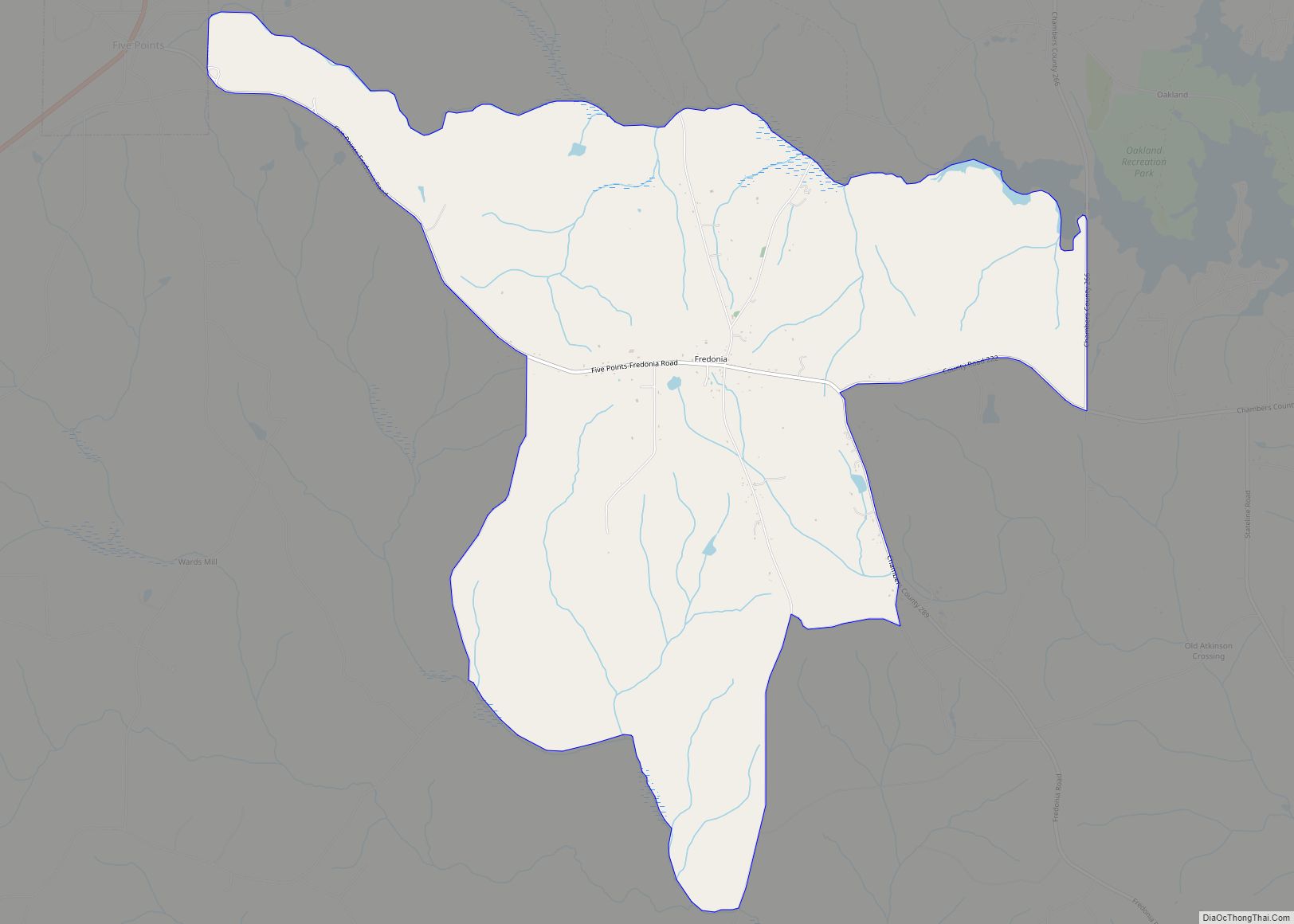
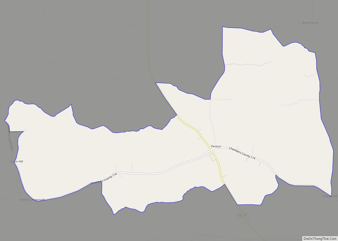
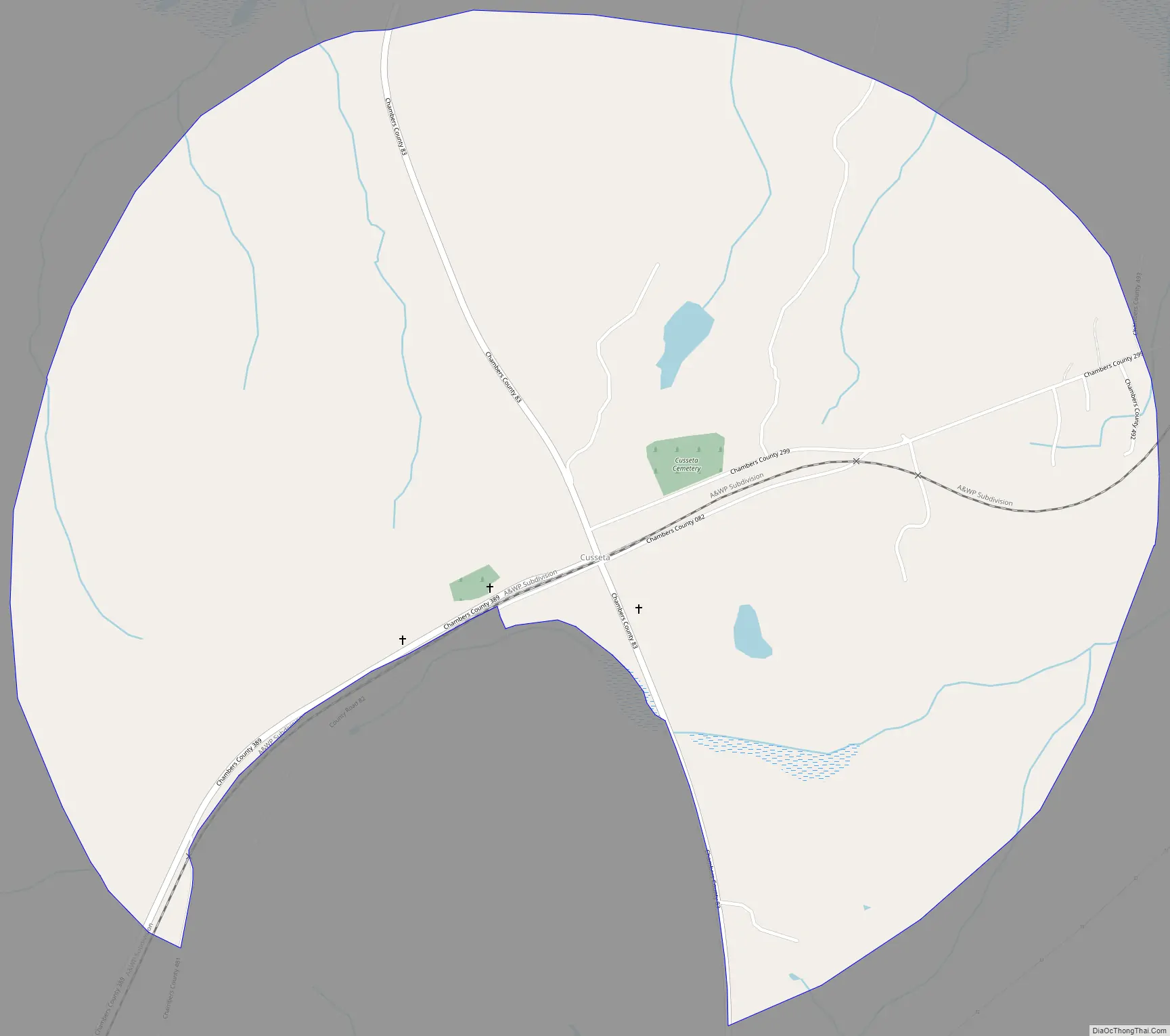
Cusseta Road Map
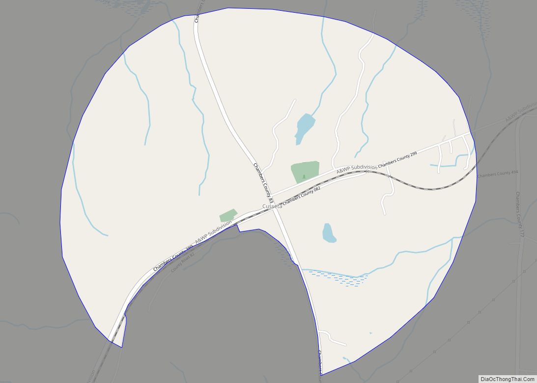
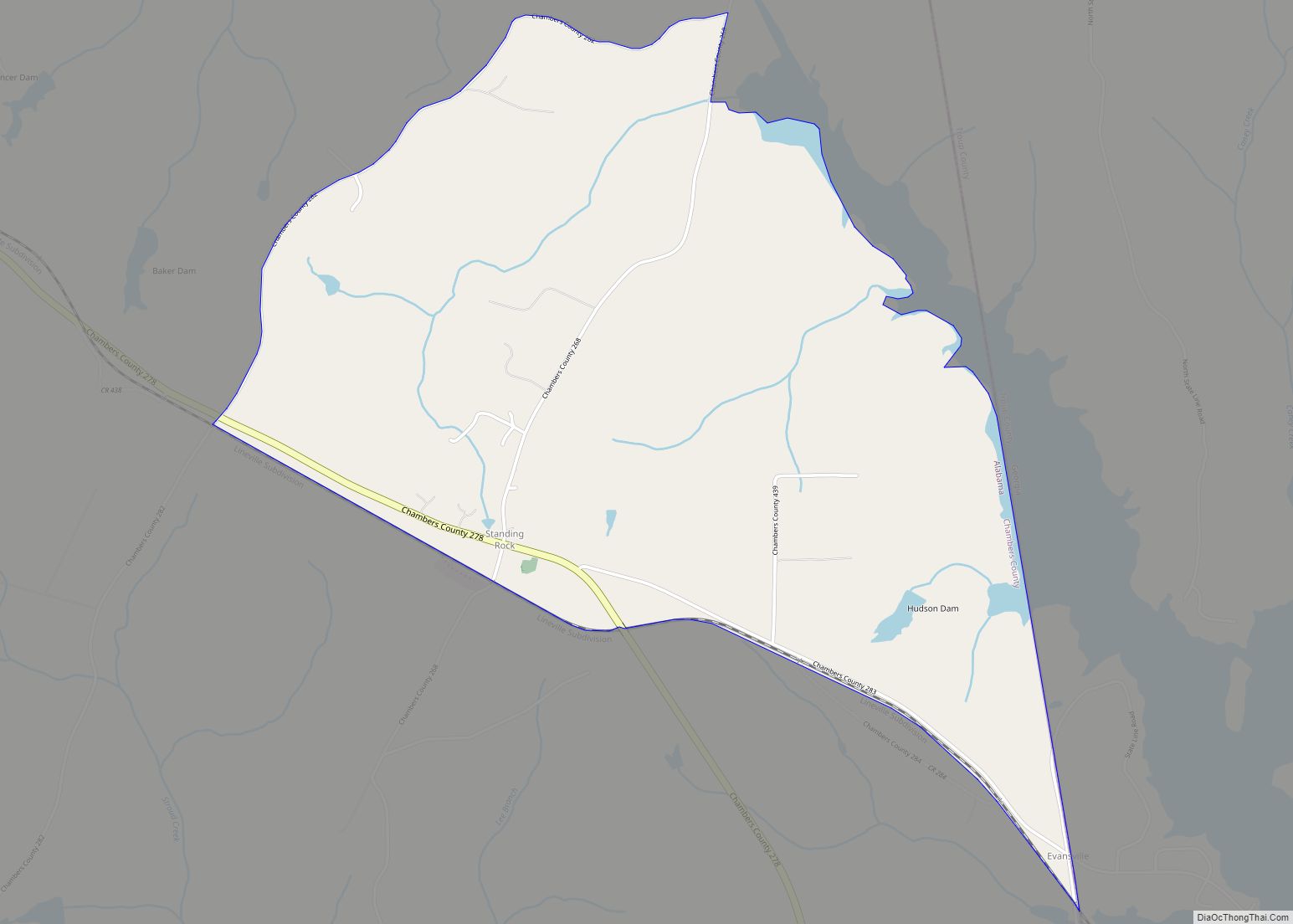
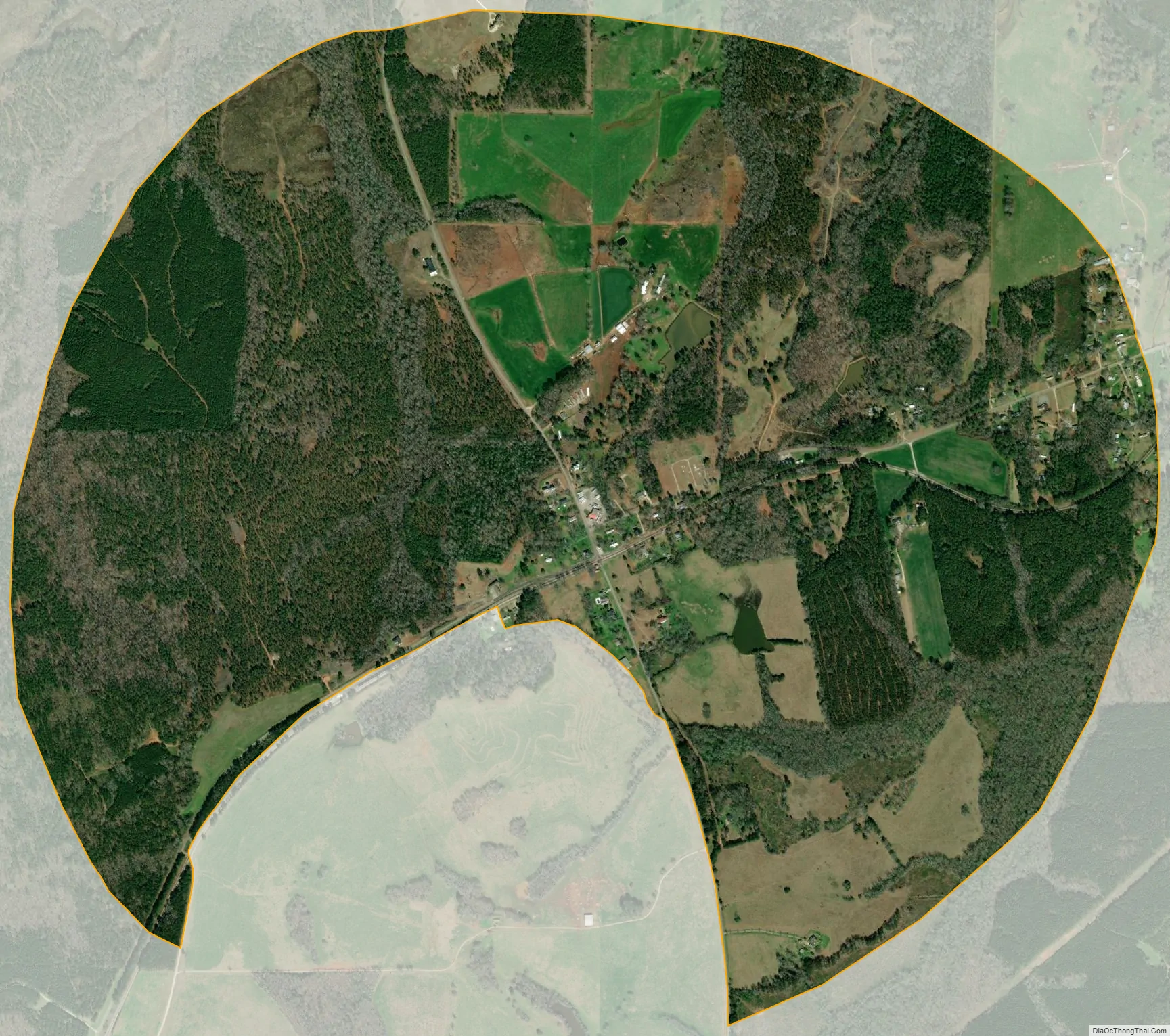
Cusseta city Satellite Map
See also
Map of Alabama State and its subdivision:- Autauga
- Baldwin
- Barbour
- Bibb
- Blount
- Bullock
- Butler
- Calhoun
- Chambers
- Cherokee
- Chilton
- Choctaw
- Clarke
- Clay
- Cleburne
- Coffee
- Colbert
- Conecuh
- Coosa
- Covington
- Crenshaw
- Cullman
- Dale
- Dallas
- De Kalb
- Elmore
- Escambia
- Etowah
- Fayette
- Franklin
- Geneva
- Greene
- Hale
- Henry
- Houston
- Jackson
- Jefferson
- Lamar
- Lauderdale
- Lawrence
- Lee
- Limestone
- Lowndes
- Macon
- Madison
- Marengo
- Marion
- Marshall
- Mobile
- Monroe
- Montgomery
- Morgan
- Perry
- Pickens
- Pike
- Randolph
- Russell
- Saint Clair
- Shelby
- Sumter
- Talladega
- Tallapoosa
- Tuscaloosa
- Walker
- Washington
- Wilcox
- Winston
- Alabama
- Alaska
- Arizona
- Arkansas
- California
- Colorado
- Connecticut
- Delaware
- District of Columbia
- Florida
- Georgia
- Hawaii
- Idaho
- Illinois
- Indiana
- Iowa
- Kansas
- Kentucky
- Louisiana
- Maine
- Maryland
- Massachusetts
- Michigan
- Minnesota
- Mississippi
- Missouri
- Montana
- Nebraska
- Nevada
- New Hampshire
- New Jersey
- New Mexico
- New York
- North Carolina
- North Dakota
- Ohio
- Oklahoma
- Oregon
- Pennsylvania
- Rhode Island
- South Carolina
- South Dakota
- Tennessee
- Texas
- Utah
- Vermont
- Virginia
- Washington
- West Virginia
- Wisconsin
- Wyoming