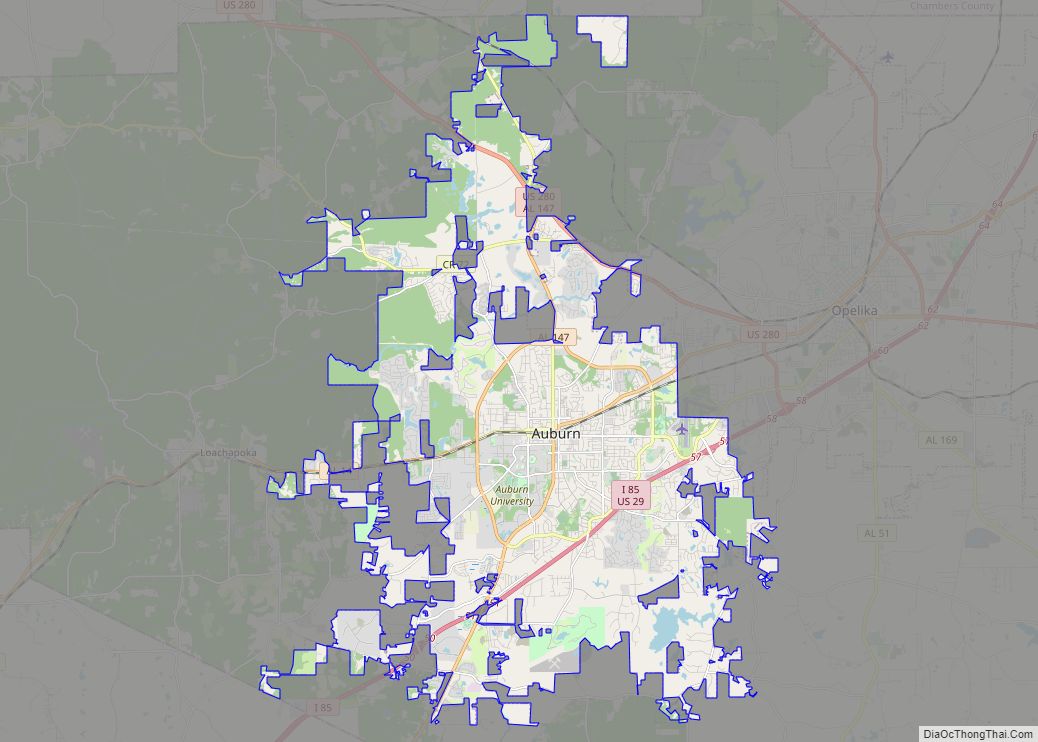
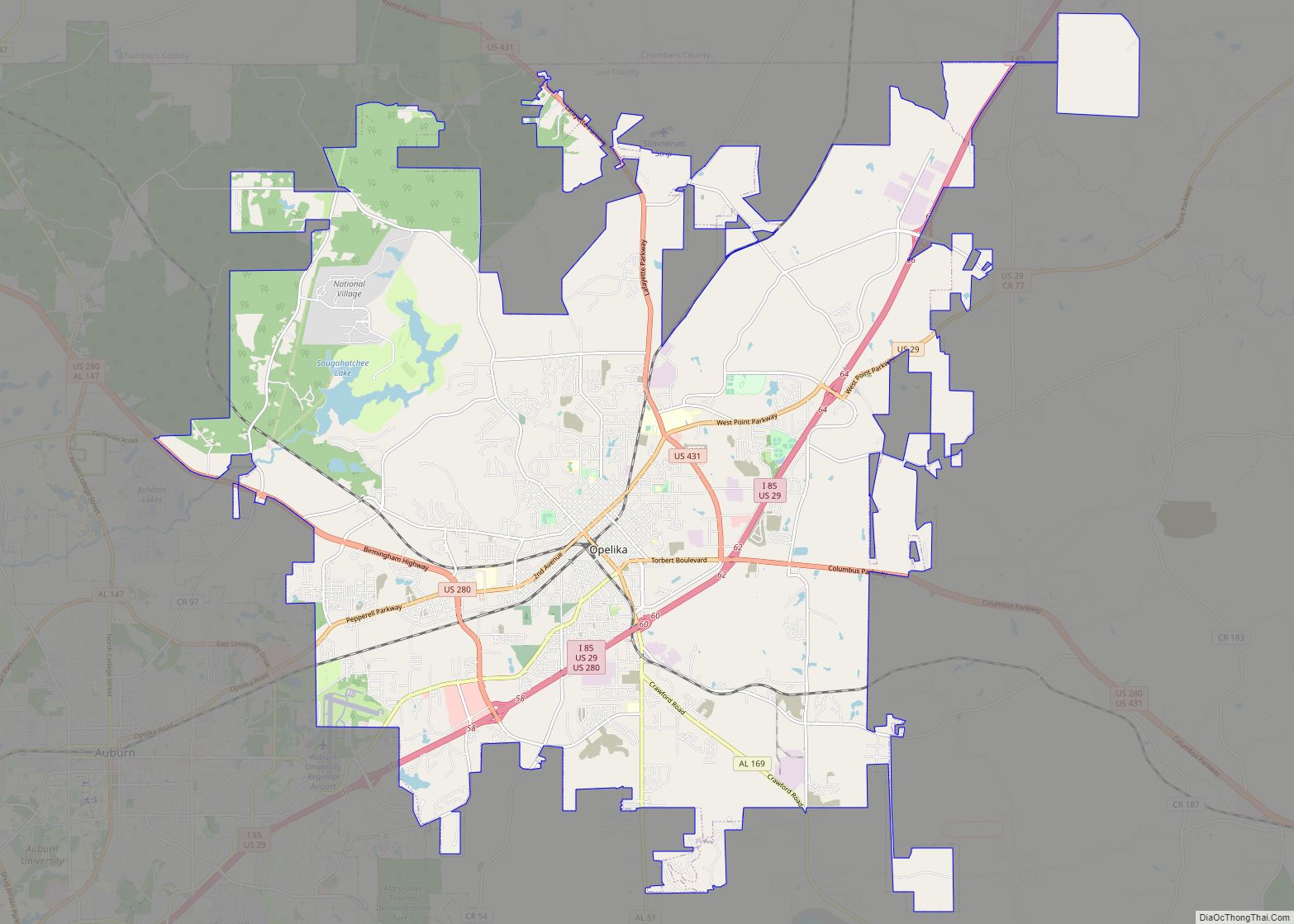
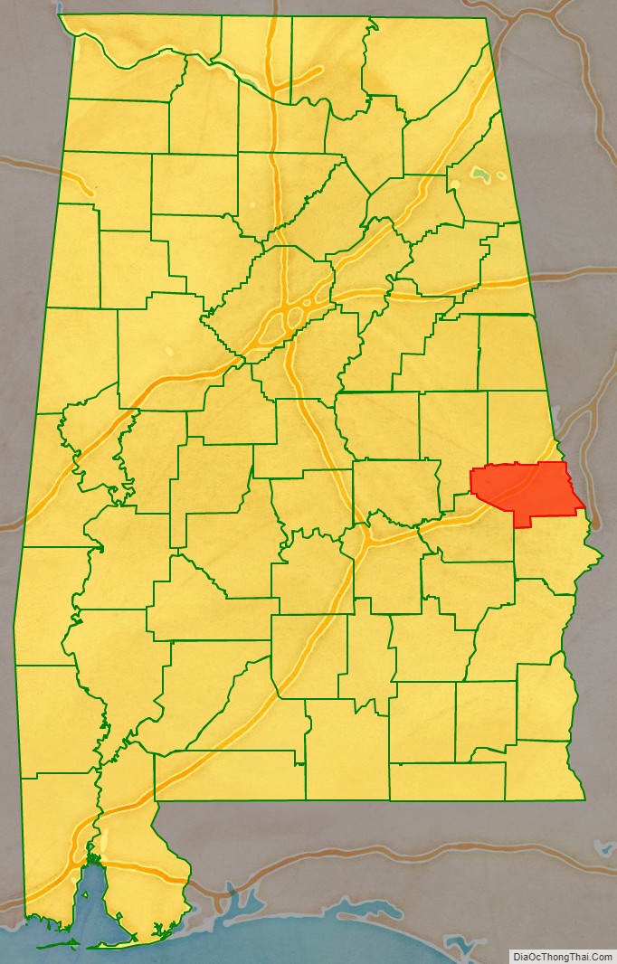
Lee County is a county located in east central Alabama. As of the 2020 census the population was 174,241. The county seat is Opelika, and the largest city is Auburn. The county was established in 1866 and is named for General Robert E. Lee (1807–1870), who served as General in Chief of the Armies of the Confederate States in 1865. Lee County comprises the Auburn-Opelika, AL Metropolitan Statistical Area, which is included in the Columbus-Auburn-Opelika, GA-AL Combined Statistical Area.
| Name: | Lee County |
|---|---|
| FIPS code: | 01-081 |
| State: | Alabama |
| Founded: | 1866 |
| Named for: | General Robert E. Lee |
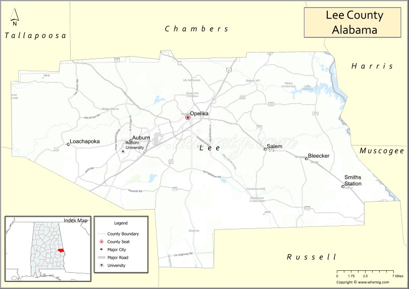
| Seat: | Opelika |
| Largest city: | Auburn |
| Total Area: | 616 sq mi (1,600 km²) |
| Land Area: | 608 sq mi (1,570 km²) |
| Total Population: | 174,241 |
| Population Density: | 280/sq mi (110/km²) |
| Time zone: | UTC−6 (Central) |
| Summer Time Zone (DST): | UTC−5 (CDT) |
| Website: | www.leeco.us |
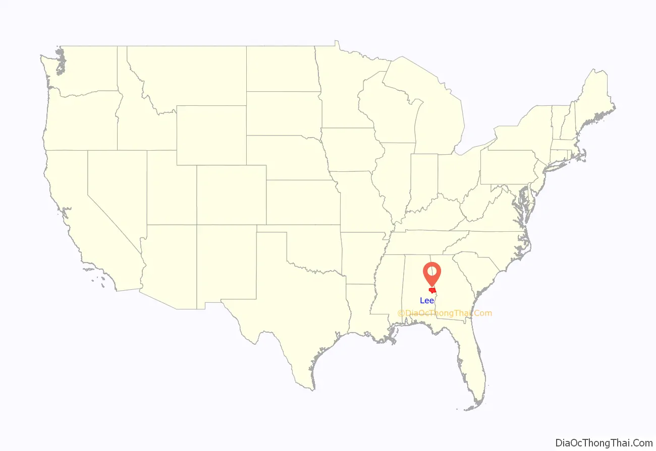
Lee County location map. Where is Lee County?
History
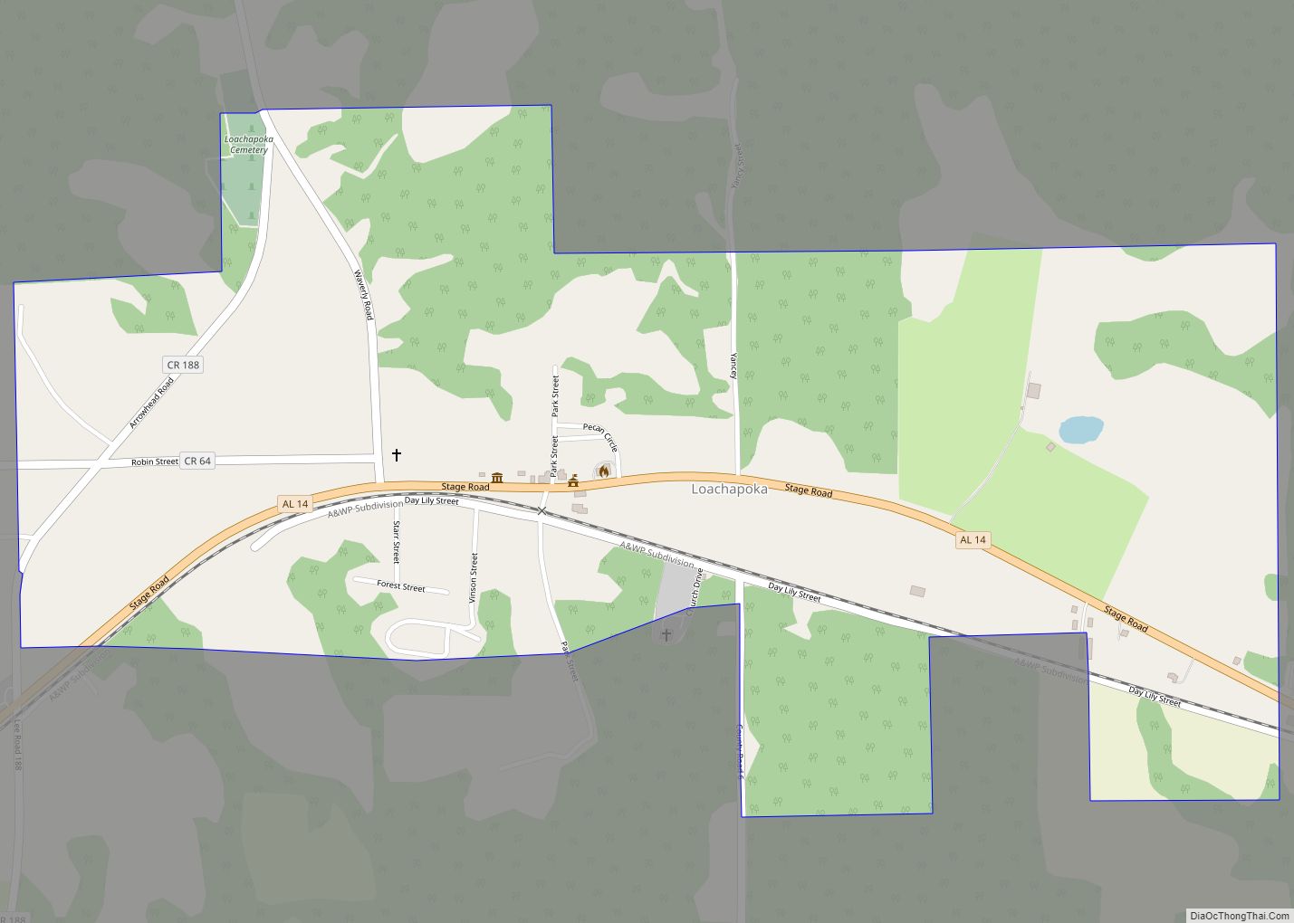
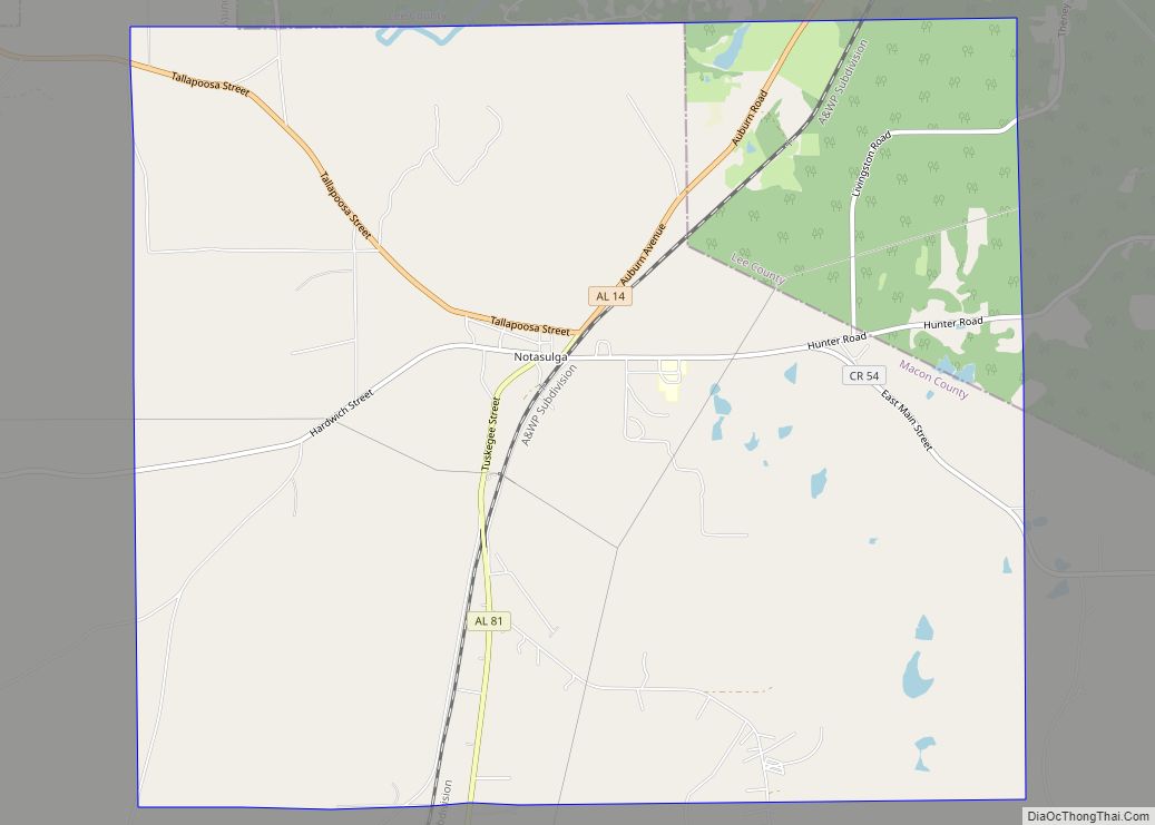
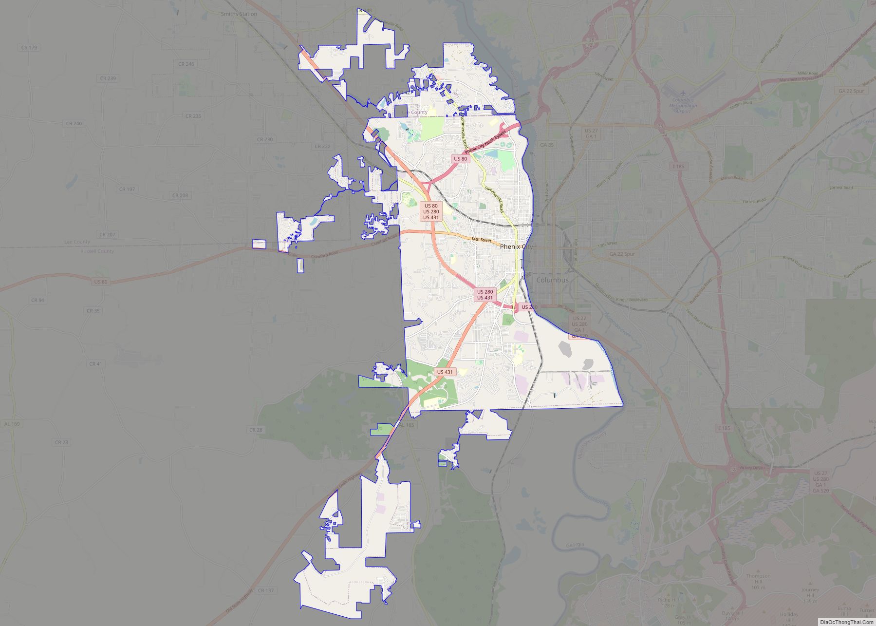
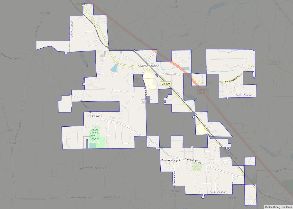
Lee County was established by the State Legislature on December 5, 1866, comprising parts of Macon, Tallapoosa, Chambers, and Russell counties. In an election to determine the county seat, Opelika was chosen over Auburn and Salem. In 1923, Phenix City, located in the southeastern corner of Lee County, merged with the town of Girard, located in the northeastern corner of Russell County. To prevent the new town of Phenix City from straddling the Lee-Russell line, Lee County ceded to Russell County the 10 square miles (25.9 km) in the southeastern corner surrounding Phenix City in exchange for 20 square miles (51.8 km) in the northwest corner of Russell County surrounding the unincorporated community of Marvyn. This territory is what forms the southern “panhandle” of Lee County. Even after the land swap with Russell County, however, the city limits of present-day Phenix City stretch into the southeastern corner of Lee. On March 3, 2019, a series of tornadoes hit the county, killing 23 people and injuring others. The deaths and injuries occurred in the community of Beauregard, situated south-east of the Auburn-Opelika metropolitan area.
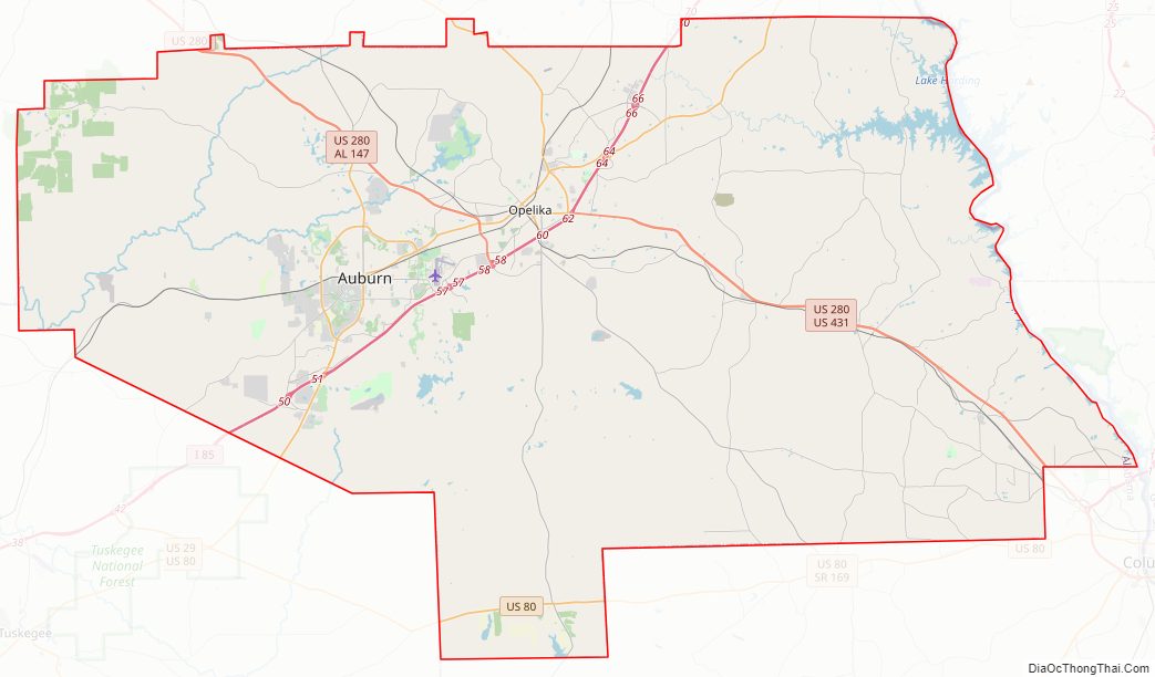
Lee County Road Map
Geography
According to the United States Census Bureau, the county has a total area of 616 square miles (1,600 km), of which 608 square miles (1,570 km) is land and 8.3 square miles (21 km) (1.3%) is water.
The county straddles the fall line between the Piedmont region to the north, and the Gulf coastal plain to the south. Thus, northern areas of the county are hillier compared to southern areas of the county.
Major highways
- Interstate 85
- U.S. Highway 29
- U.S. Highway 80
- U.S. Highway 280
- U.S. Highway 431
- State Route 14
- State Route 51
- State Route 147
- State Route 169
Adjacent counties
- Chambers County (north)
- Harris County, Georgia (northeast)
- Muscogee County, Georgia (east)
- Russell County (south)
- Macon County (southwest)
- Tallapoosa County (northwest)
Railroads
- CSX A&WP Subdivision
- Norfolk Southern Central of Georgia District
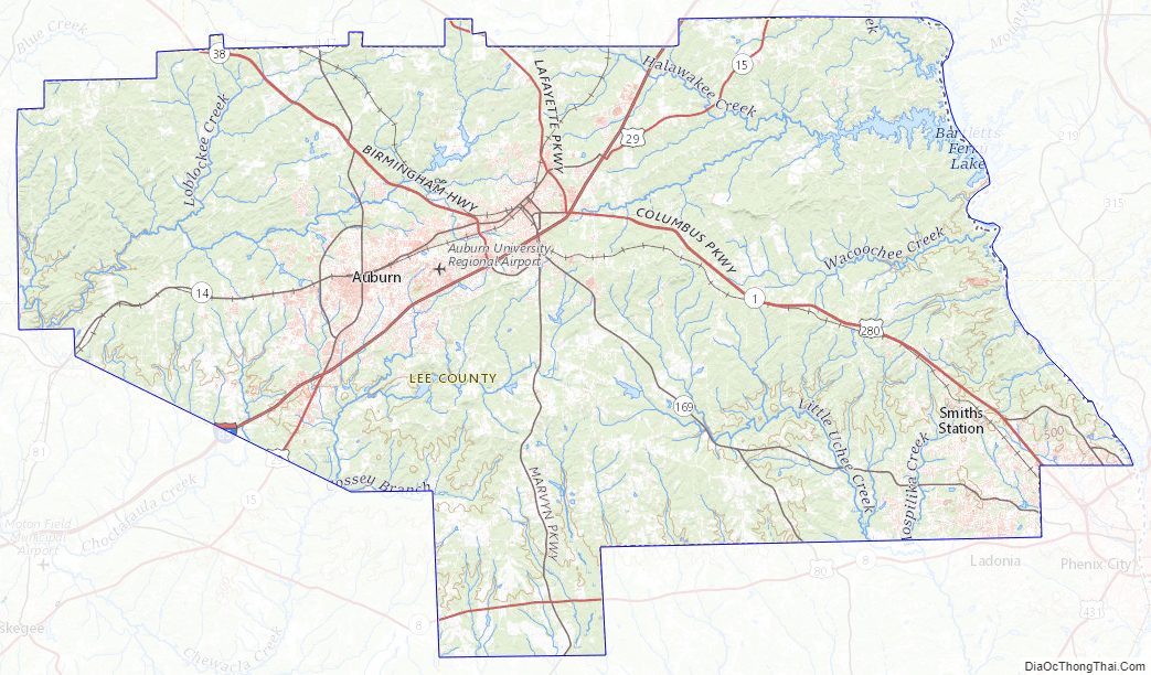
Lee County Topographic Map
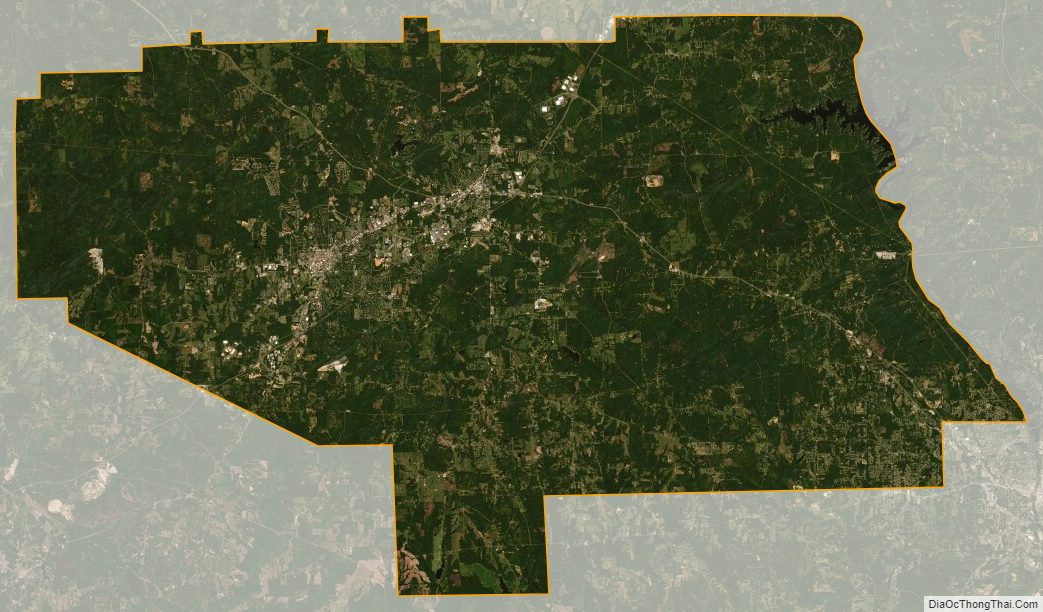
Lee County Satellite Map
Lee County Outline Map