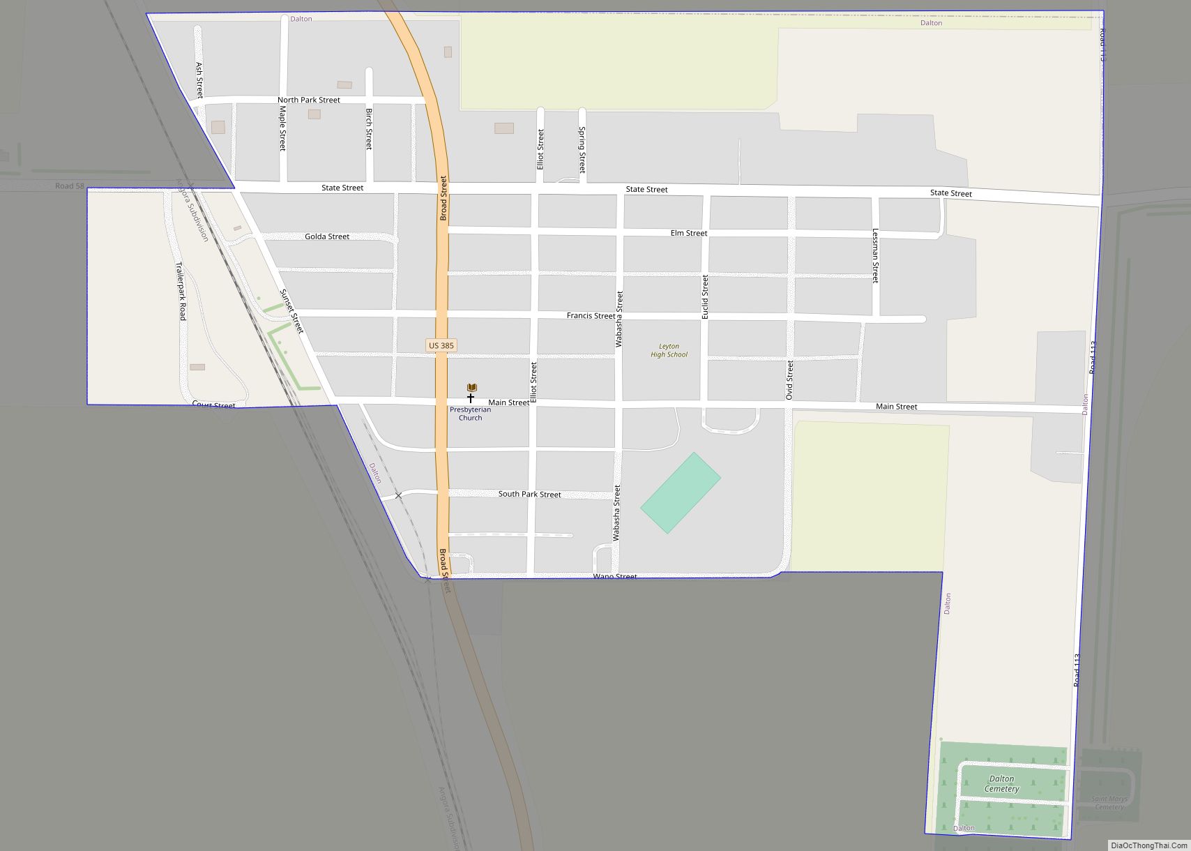
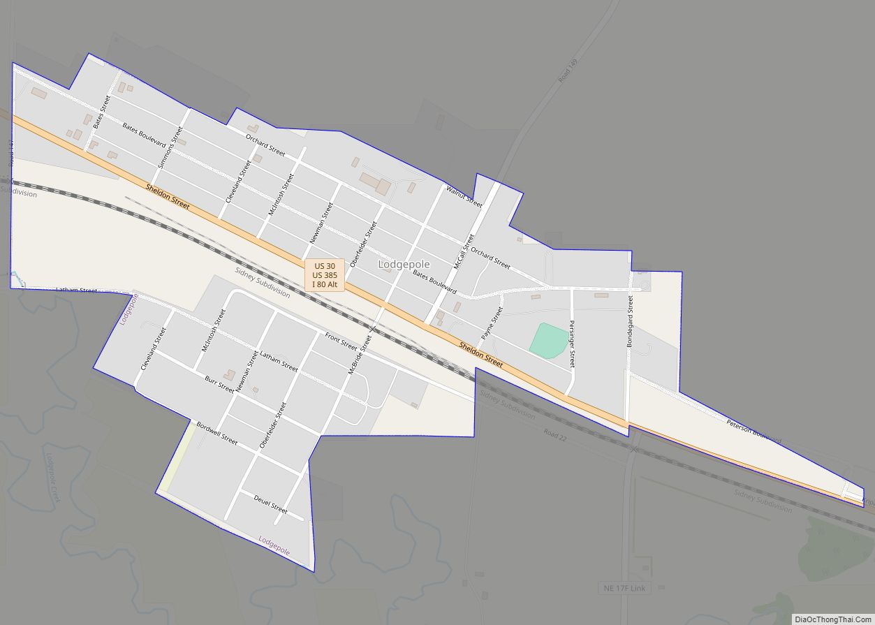
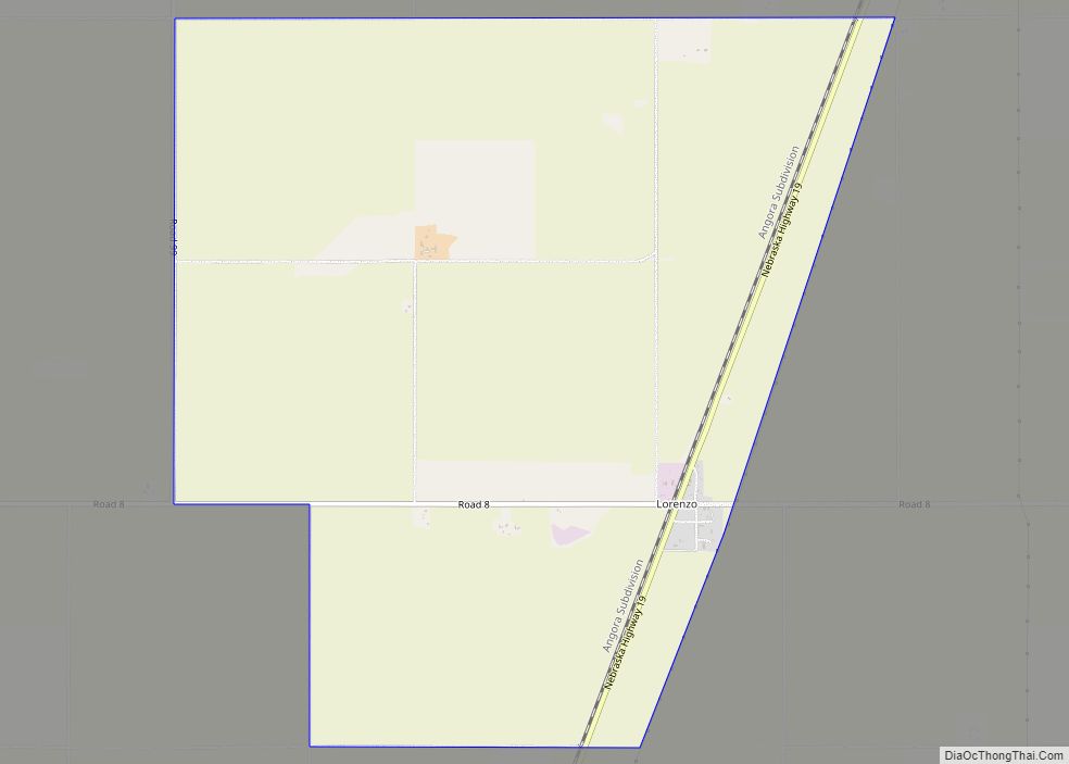
Cheyenne County is a county in the U.S. state of Nebraska. As of the 2010 United States Census, the population was 9,998. Its county seat is Sidney. The county was formed in 1871 and named for the Cheyenne Native American tribe.
In the Nebraska license plate system, Cheyenne County is represented by the prefix 39 as it had the 39th-largest number of vehicles registered in the county when the license plate system was established in 1922.
| Name: | Cheyenne County |
|---|---|
| FIPS code: | 31-033 |
| State: | Nebraska |
| Founded: | 1871 |
| Named for: | Cheyenne people |
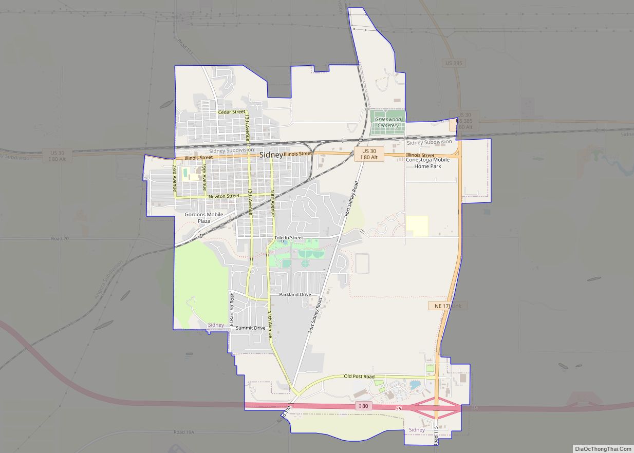
| Seat: | Sidney |
| Largest city: | Sidney |
| Total Area: | 1,196 sq mi (3,100 km²) |
| Land Area: | 1,196 sq mi (3,100 km²) |
| Total Population: | 9,529 |
| Population Density: | 8.1/sq mi (3.1/km²) |
| Time zone: | UTC−7 (Mountain) |
| Summer Time Zone (DST): | UTC−6 (MDT) |
| Website: | www.cheyennecountyne.net |
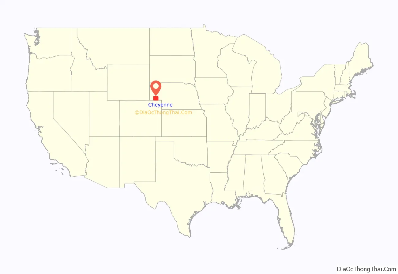
Cheyenne County location map. Where is Cheyenne County?

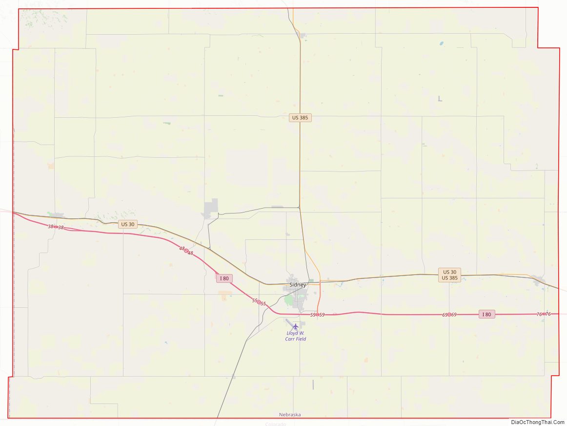
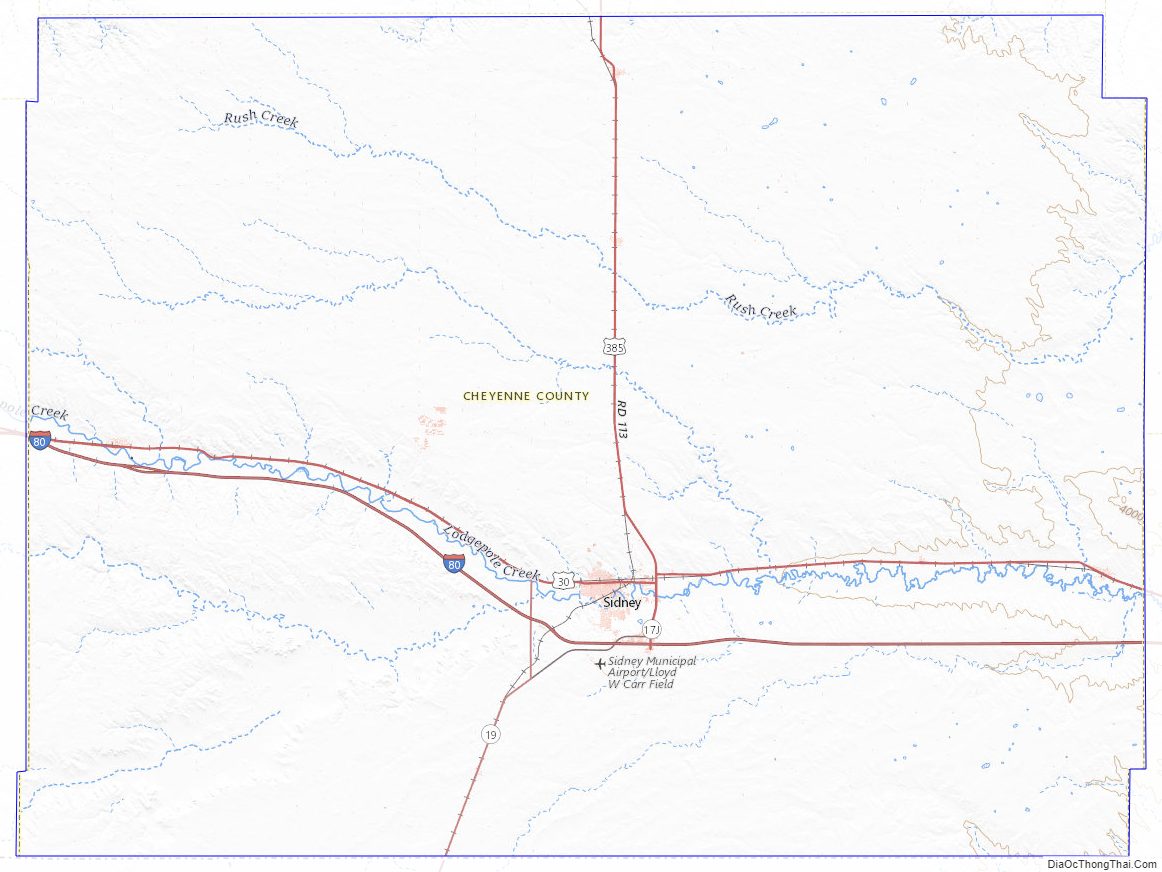
Cheyenne County Road Map
Geography
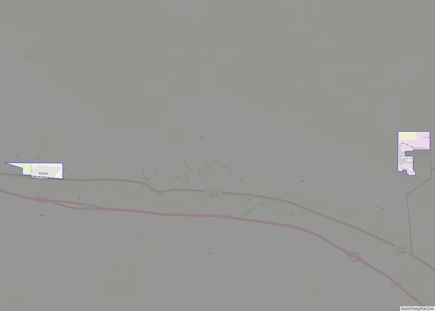
Cheyenne County lies on the south side of Nebraska. Its south boundary line abuts with the north boundary line of the state of Colorado. According to the US Census Bureau, the county has an area of 1,196 square miles (3,100 km), of which 1,196 square miles (3,100 km) is land and 0.1 square miles (0.26 km) (0.01%) is water.
Major highways
- Interstate 80
- U.S. Highway 30
- U.S. Highway 385
- Nebraska Highway 19
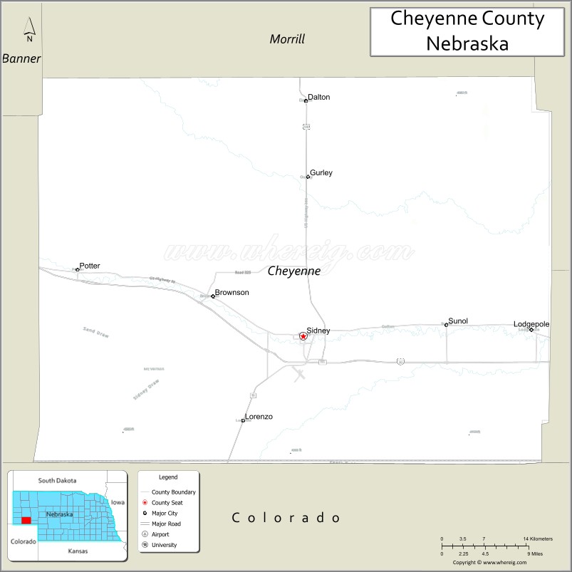
Adjacent counties
- Morrill County – north
- Garden County – northeast
- Deuel County – east
- Sedgwick County, Colorado – southeast
- Logan County, Colorado – south
- Kimball County – west
- Banner County – northwest
Cheyenne County Topographic Map
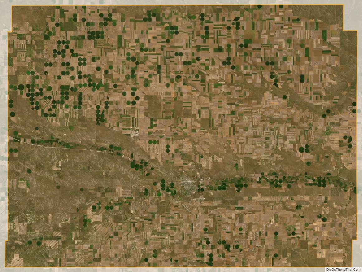
Cheyenne County Satellite Map
Cheyenne County Outline Map