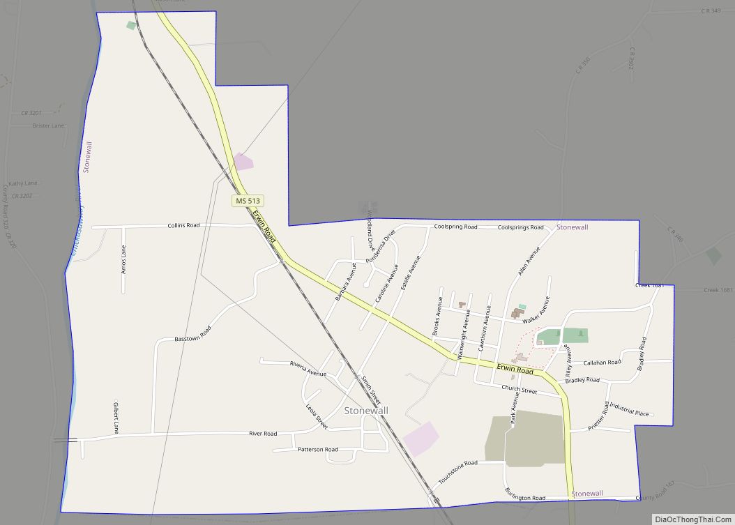
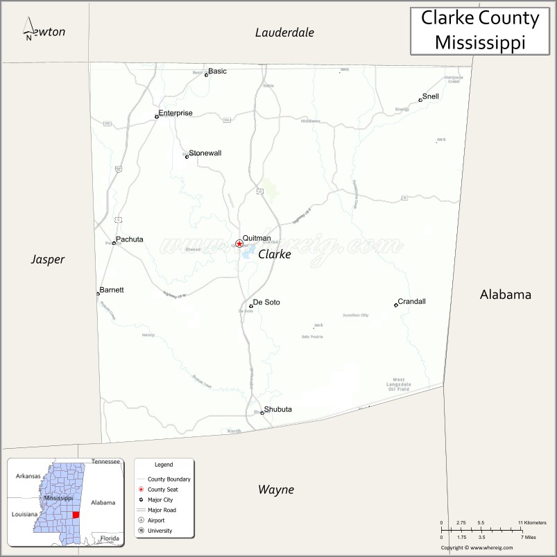
Clarke County is a county located in the U.S. state of Mississippi. As of the 2020 census, the population was 15,615. Its county seat is Quitman. Clarke County is named for Joshua G. Clarke, the first Mississippi state chancellor and judge.
The county is part of the Meridian, MS Micropolitan Statistical Area.
| Name: | Clarke County |
|---|---|
| FIPS code: | 28-023 |
| State: | Mississippi |
| Founded: | December 23, 1833 |
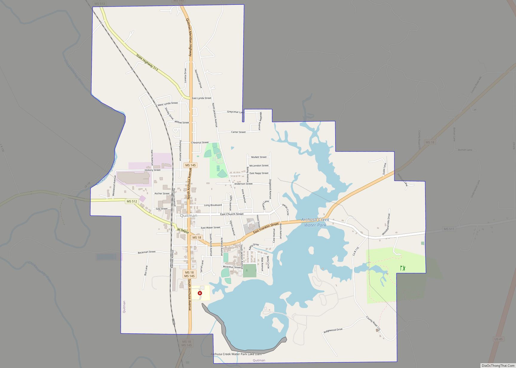
| Seat: | Quitman |
| Largest city: | Quitman |
| Total Area: | 694 sq mi (1,800 km²) |
| Land Area: | 692 sq mi (1,790 km²) |
| Total Population: | 15,615 |
| Population Density: | 23/sq mi (8.7/km²) |
| Time zone: | UTC−6 (Central) |
| Summer Time Zone (DST): | UTC−5 (CDT) |
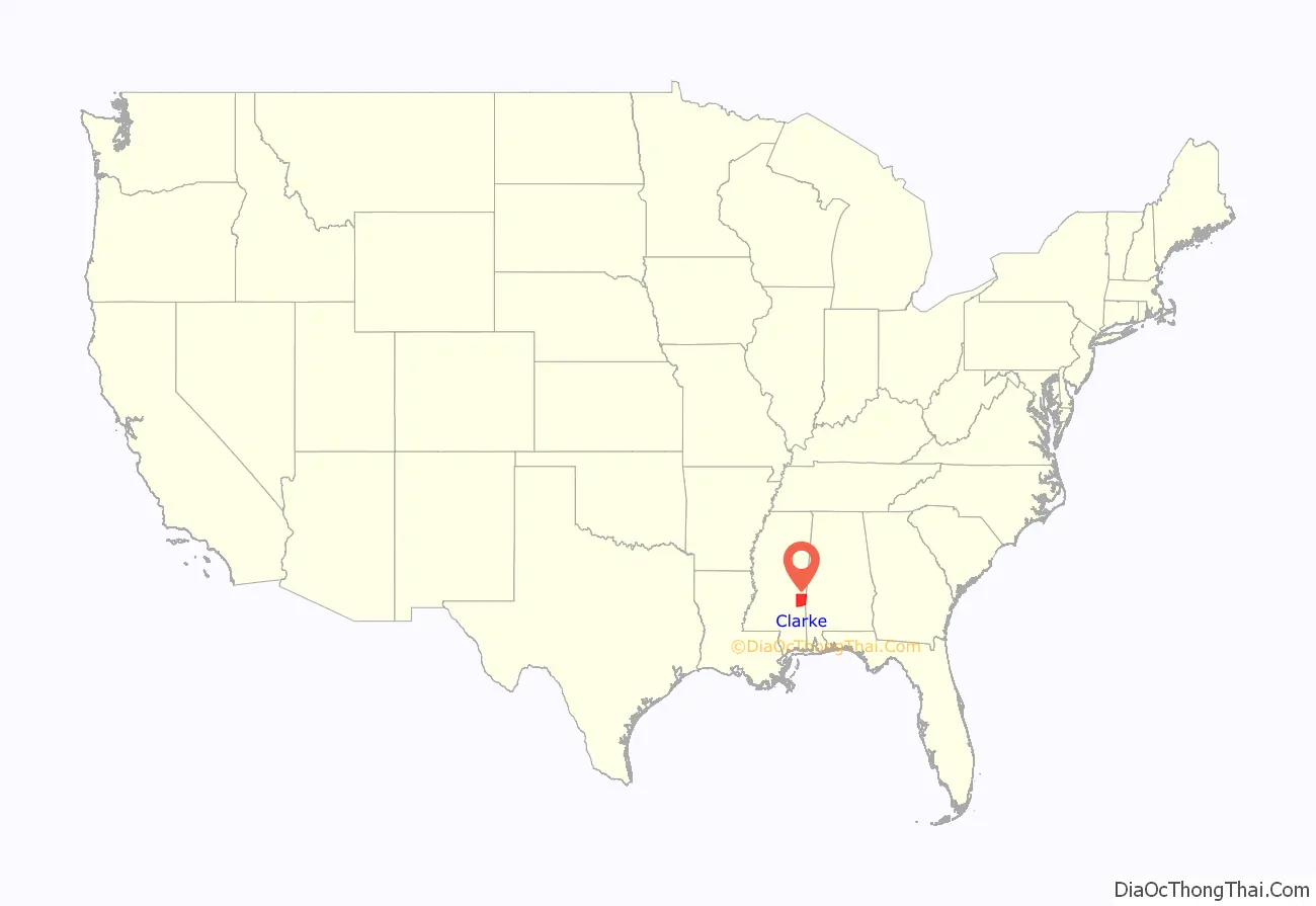
Clarke County location map. Where is Clarke County?
History
Before white men first arrived, the Choctaw Indians inhabited the land that would later be known as the Clarke County, Mississippi. Clarke County is only a portion of what was known as Okla Hannali or Six Town District of the Choctaws. Okla Hannali or Six Towns District existed at the time of the Dancing Rabbit Treaty in 1830.
David Gage, who came to the area in about 1820, was a Presbyterian minister. Traveling with him was Moses Jewel and Miss Skinner, who were both teachers. He settled at a place called Eewennans in the Choctaw Nation. David Gage, Moses Jewel, and Miss Skinner came to the territory for the purpose of educating the Indians some domestic habits.
At the beginning of 1832, settlers began to appear in what was known as the “New Purchase”. One of the first families to arrive was Jehu and Sarah Pagaus Evans, who arrived in February 1832, and settled east of Buckatunna Swamp. By the fall of 1832, the “New Purchase” began to fill up quickly with arrivals. Among the early settlers were George Evans, Richard Wagster, Henry Hailes, Alex Hailes, Michael McCarty, James Bankston, Calvin M. Ludlow, John Williford, William Williford, James Risher, J. A. Fontain, John Gunn, Robert Fleming, John Fleming, Hiram Fleming, Norman Martin, Stephen Grice, Thomas F. Hicks, Alex McLendon, Roland B. Crosby, Cameron Grayson, Jesse C. Mott, David Neely, David B. Thompson, Dabney Edwards, Jacob Slack, John Johnston, Alex Trotter, Richard N. Hough, Robert McLaughlin, L. D. Phillips, Samuel Lee, Jesse Sumrall, Jeremiah Crane, Howell Sumrall, William Goleman, Thomas Goleman, Samuel K. Lewis and Thomas Watts.
The county was founded in 1833. Quitman, named for General John A. Quitman.
After the organization of Clarke County, the first school was built close to the old Tennessee Trace. Mr. Hennessy was the teacher and he came from Kinsale, Ireland. Religious services were held in the pioneer families’ home and on days of good weather, outside. The first actual church built was Cedar Creek Church, a Methodist church, and Elim Baptist Church followed in the 1840s.
In the Spring of 1834, Joel Nail, a quadroon Indian, began moving the Choctaw Indians to Muskalresha, an old town in Neshoba County, Mississippi. These journeys continued through 1838 for all that would go. Some of the Choctaw Indians returned to their homes in Clarke County after arriving at Muskalresha.
In the 1830s there were no postal routes in Clarke County. However, there was a stagecoach line from Columbus, Mississippi to Winchester, Wayne County, Mississippi. The settlers of Clarke County would have to travel to Winchester, 25 miles away to receive their mail.
Ten black people were lynched in Clarke County, as documented in The Hanging Bridge by Jason Morgan Ward.
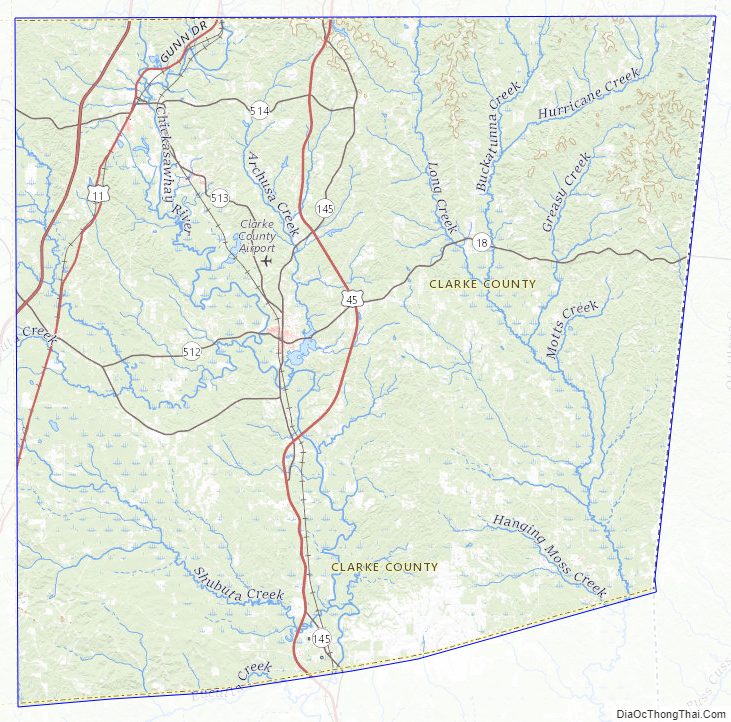
Clarke County Road Map
Geography
According to the U.S. Census Bureau, the county has a total area of 694 square miles (1,800 km), of which 692 square miles (1,790 km) is land and 2.0 square miles (5.2 km) (0.3%) is water. The Chickasawhay River flows north to south through the eastern portion of the county; it eventually meets the Pascagoula River.
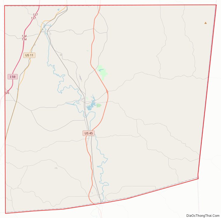
Major highways
- Interstate 59
- U.S. Highway 11
- U.S. Highway 45
- Mississippi Highway 18
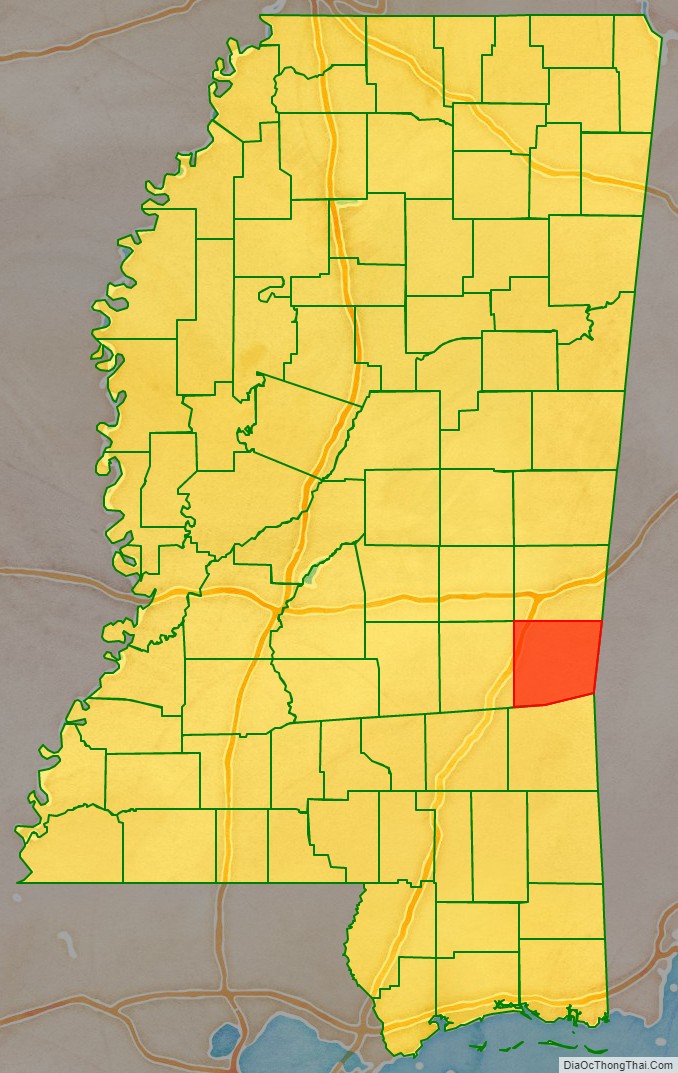
Adjacent counties
- Lauderdale County (north)
- Choctaw County, Alabama (east)
- Wayne County (south)
- Jasper County (west)
Clarke County Topographic Map
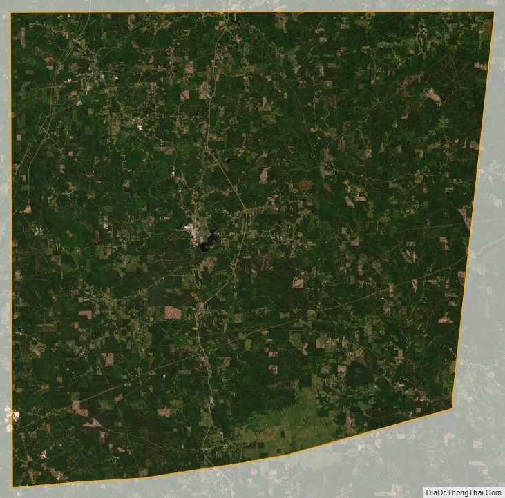
Clarke County Satellite Map
Clarke County Outline Map