Clay County is a county in the U.S. state of Nebraska. As of the 2010 United States Census, the population was 6,542. Its county seat is Clay Center. The county was formed in 1855, and was organized in 1871. It was named for Henry Clay, a member of the United States Senate from Kentucky, who went on to become United States Secretary of State.
In the Nebraska license plate system, Clay County is represented by the prefix 30 (it had the 30th-largest number of vehicles registered in the county when the license plate system was established in 1922).
| Name: | Clay County |
|---|---|
| FIPS code: | 31-035 |
| State: | Nebraska |
| Founded: | 1855 |
| Named for: | Henry Clay |
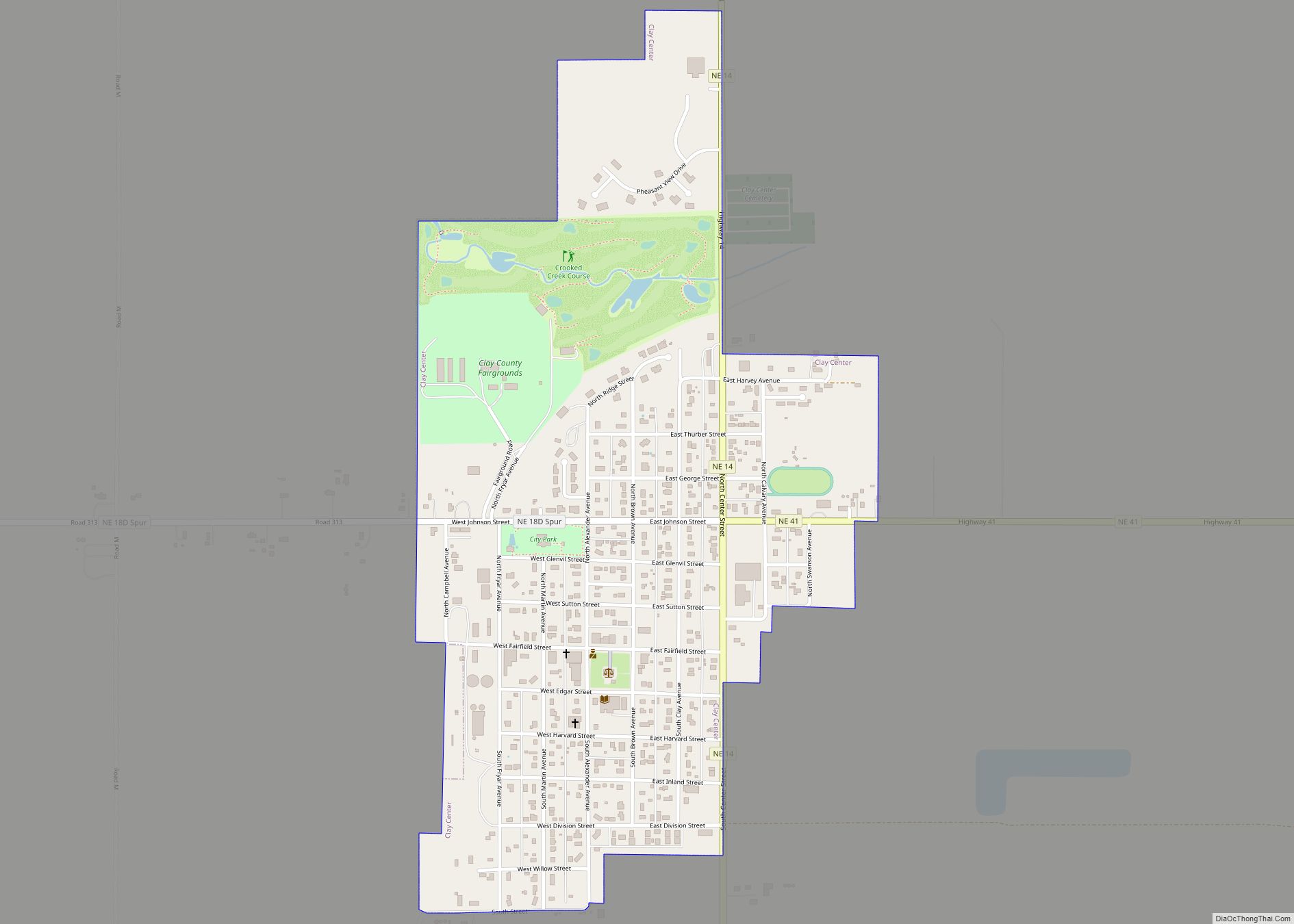
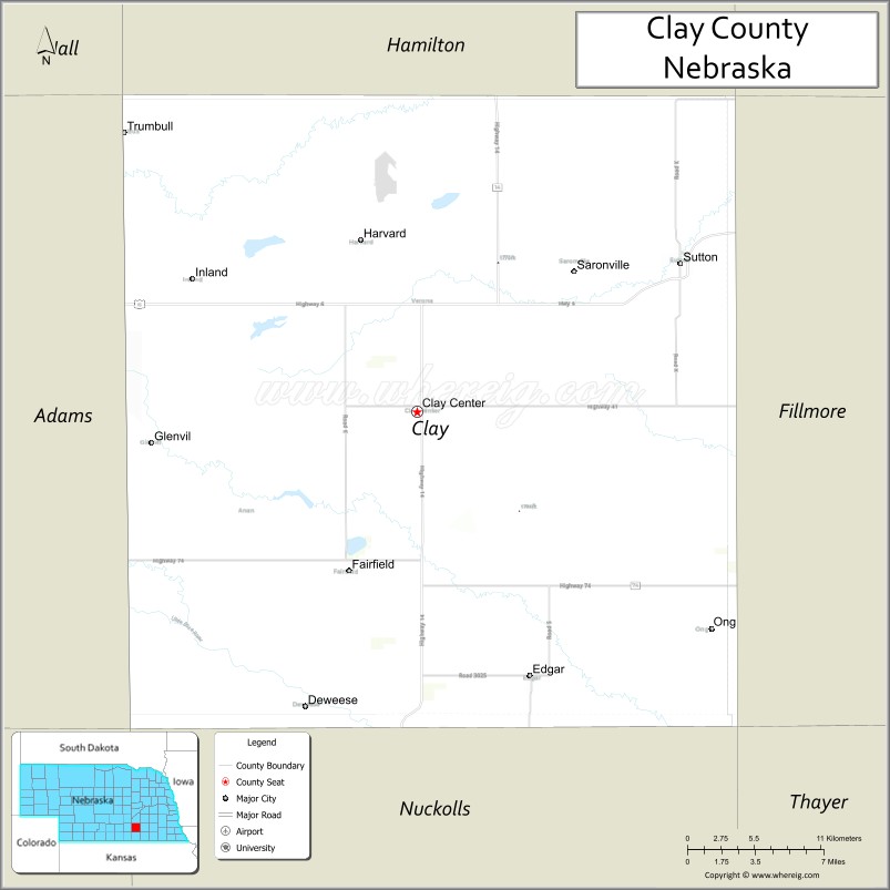
| Seat: | Clay Center |
| Largest city: | Sutton |
| Total Area: | 574 sq mi (1,490 km²) |
| Land Area: | 572 sq mi (1,480 km²) |
| Total Population: | 6,078 |
| Population Density: | 10.8/sq mi (4.2/km²) |
| Time zone: | UTC−6 (Central) |
| Summer Time Zone (DST): | UTC−5 (CDT) |
| Website: | www.claycounty.ne.gov |
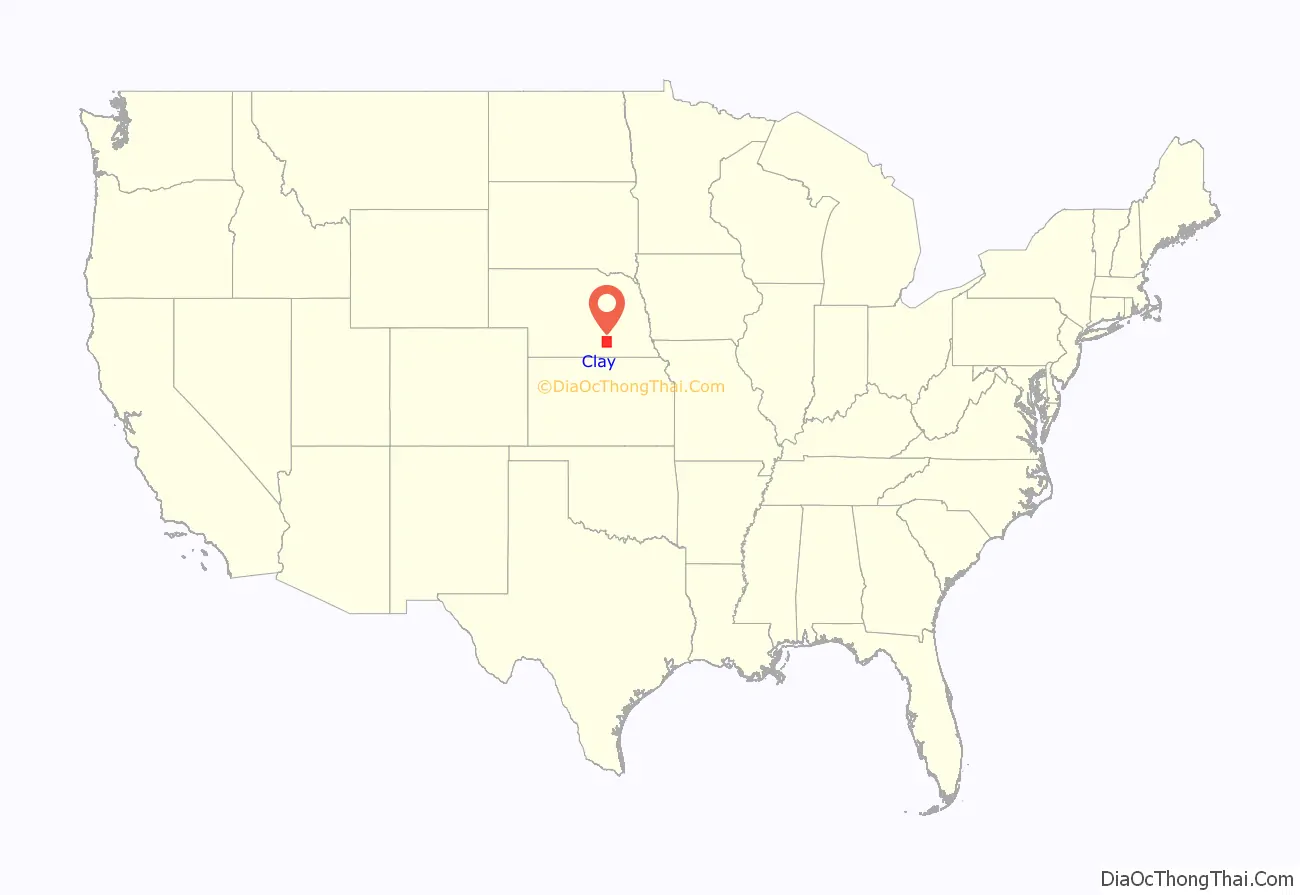
Clay County location map. Where is Clay County?
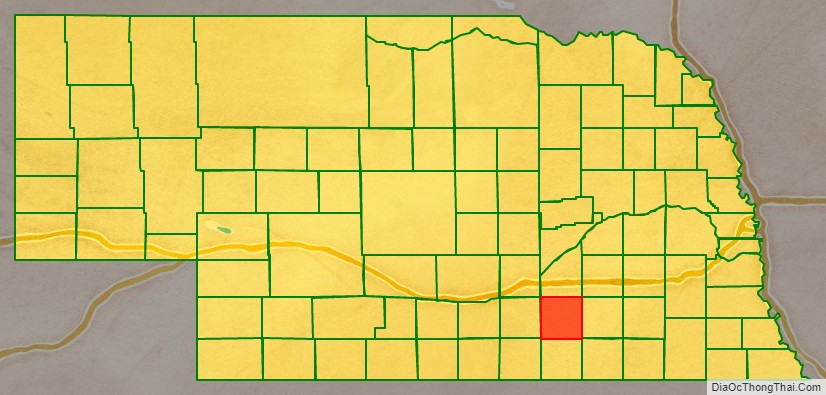
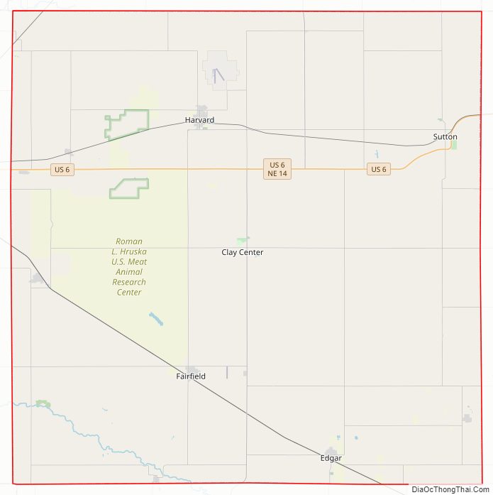
Clay County Road Map
Geography
According to the US Census Bureau, the county has an area of 574 square miles (1,490 km), of which 572 square miles (1,480 km) is land and 1.2 square miles (3.1 km) (0.2%) is water.
Major highways
- U.S. Highway 6
- Nebraska Highway 14
- Nebraska Highway 41
- Nebraska Highway 74
Adjacent counties
- York County – northeast
- Fillmore County – east
- Thayer County – southeast
- Nuckolls County – south
- Webster County – southwest
- Adams County – west
- Hamilton County – north
Protected areas
- Alberding Lagoon National Wildlife Management Area
- Bluewing Wildlife Management Area
- Eckhardt Lagoon National Wildlife Management Area
- Green Wing State Wildlife Management Area
- Hansen Lagoon National Wildlife Management Area
- Harms Federal Waterfowl Production Area
- Hultine Federal Waterfowl Production Area
- Kissinger Basin State Wildlife Management Area
- Lange Lagoon National Wildlife Management Area
- Massie Federal Waterfowl Production Area
- Meadowlark Federal Waterfowl Production Area
- Moger Lagoon National Wildlife Management Area
- Sandpiper Federal Waterfowl Production Area
- Schuck Federal Waterfowl Production Area
- Smith Lagoon National Wildlife Management Area
- White Front Wildlife Management Area
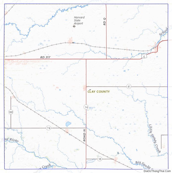
Clay County Topographic Map
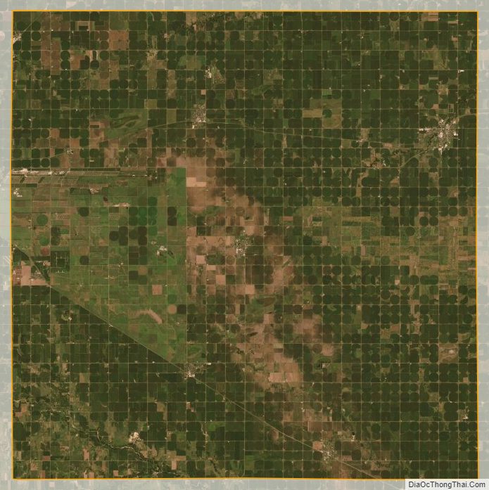
Clay County Satellite Map
Clay County Outline Map