Nuckolls County is a county located in the U.S. state of Nebraska. As of the 2020 United States Census, the population was 4,095. Its county seat is Nelson.
In the Nebraska license plate system, Nuckolls County is represented by the prefix 42 (it had the 42nd-largest number of vehicles registered in the county when the license plate system was established in 1922).
| Name: | Nuckolls County |
|---|---|
| FIPS code: | 31-129 |
| State: | Nebraska |
| Founded: | 1860 |
| Named for: | Stephen Friel Nuckolls |
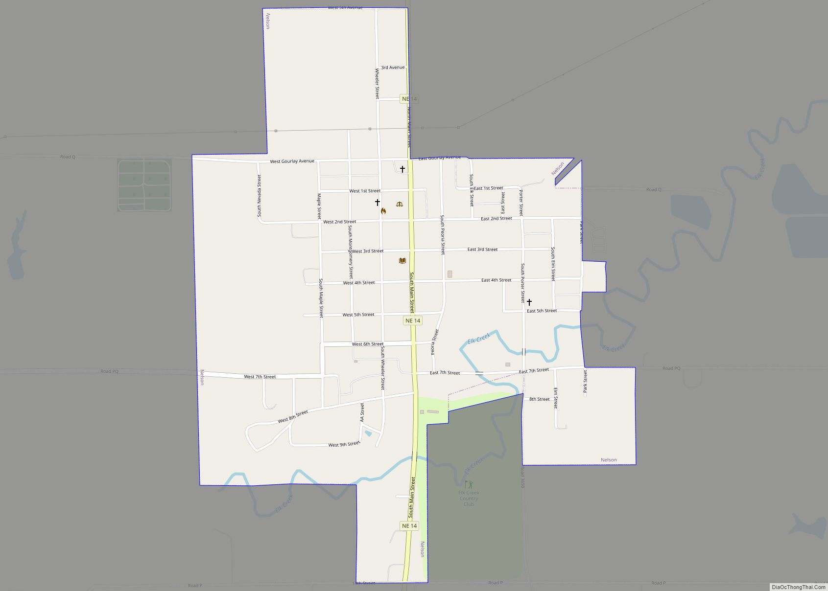
| Seat: | Nelson |
| Largest city: | Superior |
| Total Area: | 576 sq mi (1,490 km²) |
| Land Area: | 575 sq mi (1,490 km²) |
| Total Population: | 4,060 |
| Population Density: | 7.43/sq mi (2.87/km²) |
| Time zone: | UTC−6 (Central) |
| Summer Time Zone (DST): | UTC−5 (CDT) |
| Website: | www.nuckollscounty.ne.gov |
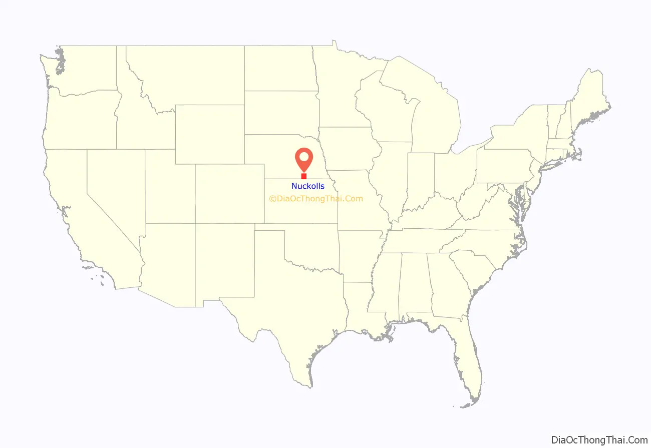
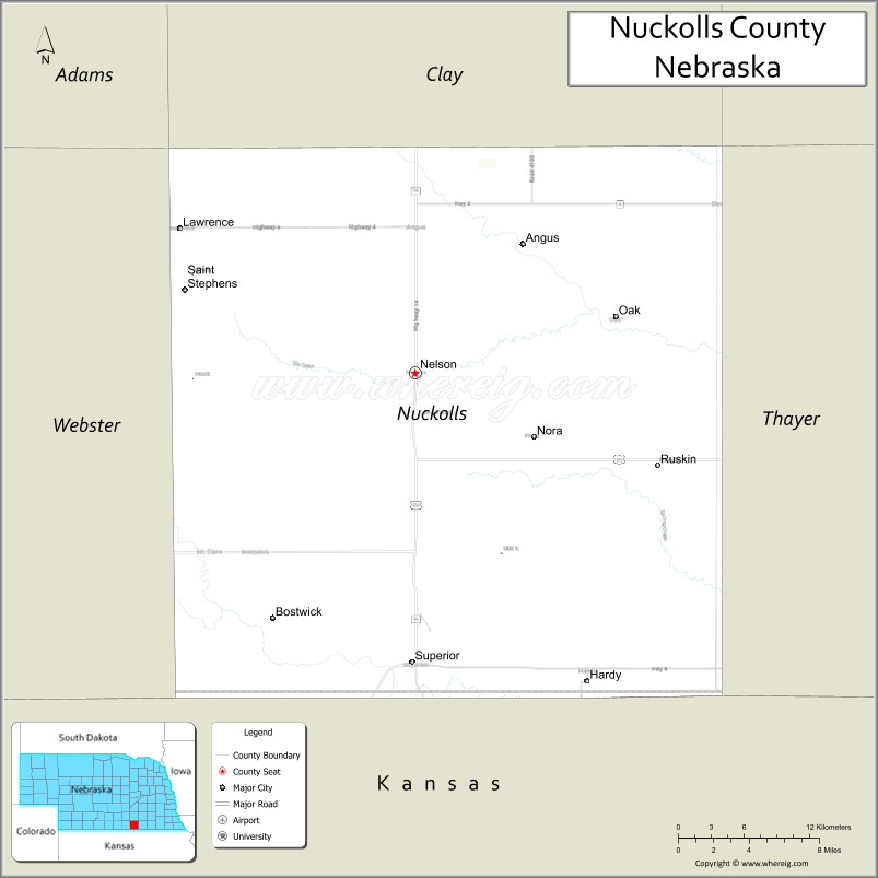
Nuckolls County location map. Where is Nuckolls County?
History
19th century
Nuckolls County was formed in 1860, and was organized in 1871. It was named after brothers Lafayette Nuckolls, a member of the first Nebraska territorial legislature, and Stephen Friel Nuckolls, a pioneering Nebraska settler, businessman and banker. Nuckolls was also a notorious slaveowner who was followed by national news in 1860 when he tracked down an enslaved person he owned, named Eliza Grayson. She had escaped from him via the Underground Railroad two years earlier. With the help of a professional kidnapper they attempted to remove the woman from Chicago, where she was found, only to be arrested by local law enforcement. Nuckolls and the enslaved woman were put in the Chicago jail, only for an abolitionist mob to free her and shuttle her away to Canada. Nuckolls went on to prominence and admiration in Nebraska after sympathizing with the Confederate states during the civil war.
In 1887, Atchison, Topeka and Santa Fe Railway built a branch line from Neva, Kansas (3 miles west of Strong City) to Superior, Nebraska. At some point, the rails were removed from Neva, KS to Lost Springs, KS, but the right-of-way has not been abandoned. As of 2020, the BNSF Line from Superior, NE to Lost Springs, KS was active and carrying rail traffic to and from Superior. This branch line was originally called “Strong City and Superior line” but later the name was shortened to the “Strong City line”. In 1996, the Atchison, Topeka and Santa Fe Railway merged with Burlington Northern Railroad, renamed to the current BNSF Railway. Most locals still refer to this railroad as the “Santa Fe”.
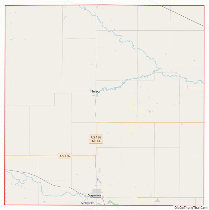
Nuckolls County Road Map
Geography
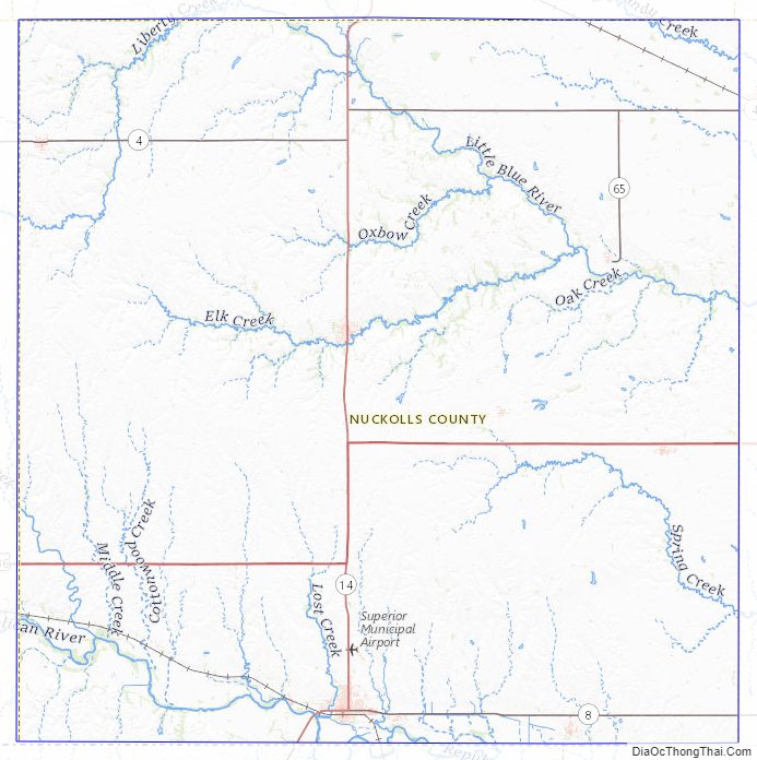
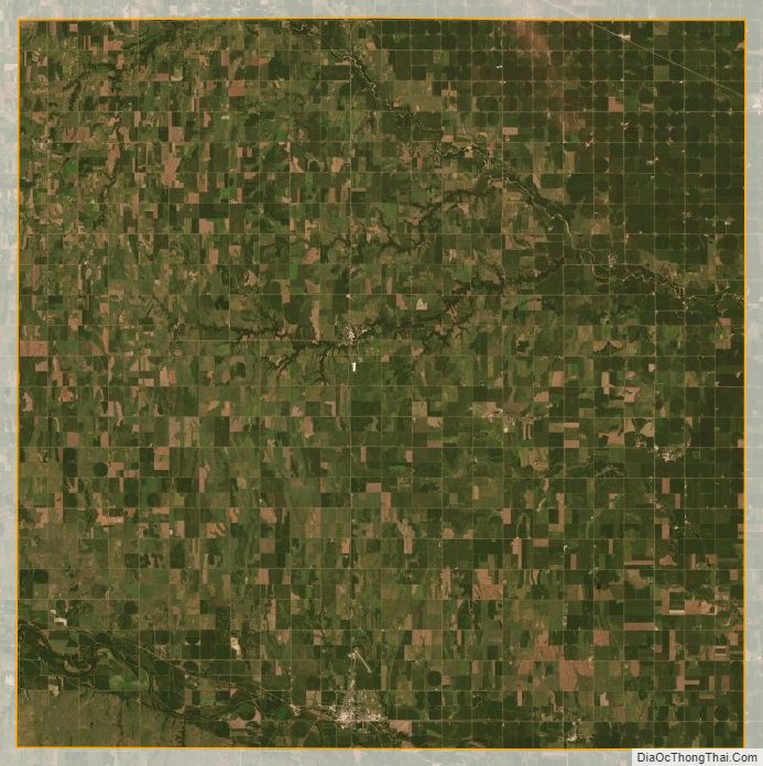
Nuckolls County lies on the south line of Nebraska. Its south boundary line abuts the north boundary line of the state of Kansas. The Republican River flows southeastward through the SW corner of the county The upper county area is drained by two creeks, Elk Creek and Oxbow Creek, that flow northeastward to discharge into Crooked Creek, which then flows eastward into adjacent Thayer County. The Nuckolls County terrain consists of vegetation-covered rolling hills, sloped to the east. A portion of the area is dedicated to agriculture, especially in the northeast corner.
Nuckolls county has a total area of 576 square miles (1,490 km), of which 575 square miles (1,490 km) is land and 0.7 square miles (1.8 km) (0.1%) is water.
Major Highways
- U.S. Highway 136
- Nebraska Highway 4
- Nebraska Highway 8
- Nebraska Highway 14
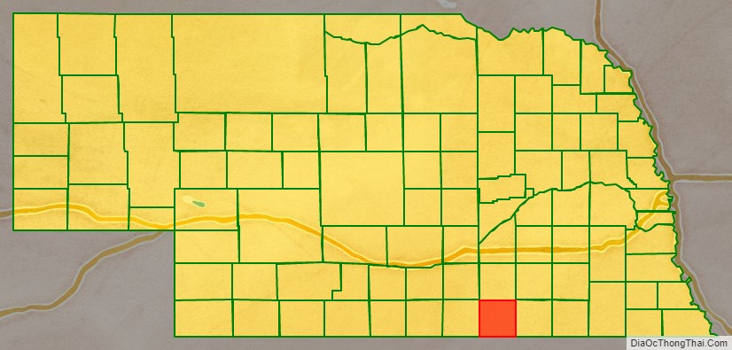
Adjacent counties
- Clay County – north
- Fillmore County – northeast
- Thayer County – east
- Republic County, Kansas – southeast
- Jewell County, Kansas – southwest
- Webster County – west
Protected areas
- Smartweed Marsh State Wildlife Management Area
Nuckolls County Topographic Map
Nuckolls County Satellite Map
Nuckolls County Outline Map