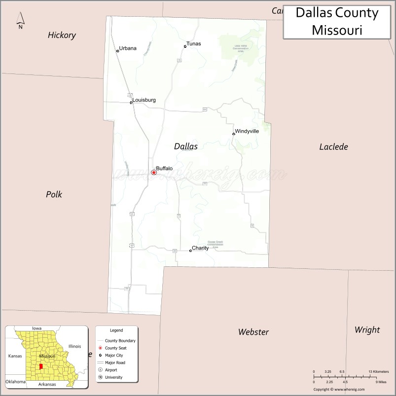
Dallas County is a county located in the U.S. state of Missouri. As of the 2010 census, the population was 16,777. Its county seat is Buffalo. The county was organized in 1842 as Niangua County and then renamed in 1844 for George M. Dallas, who served as Vice President under James K. Polk.
Dallas County is part of the Springfield, MO Metropolitan Statistical Area.
Name: | Dallas County |
---|---|
FIPS code: | 29-059 |
State: | Missouri |
Founded: | December 10, 1844 |
Named for: | George M. Dallas |
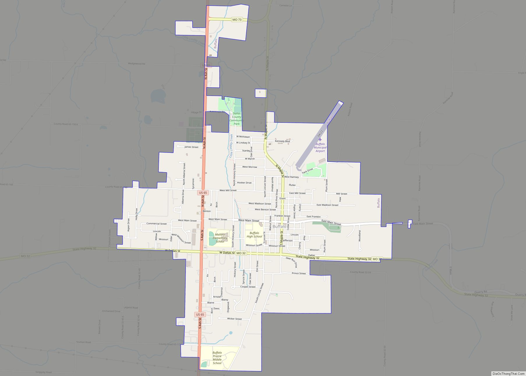
Seat: | Buffalo |
Largest city: | Buffalo |
Total Area: | 543 sq mi (1,410 km²) |
Land Area: | 541 sq mi (1,400 km²) |
Total Population: | 16,777 |
Population Density: | 31/sq mi (12/km²) |
Time zone: | UTC−6 (Central) |
Summer Time Zone (DST): | UTC−5 (CDT) |
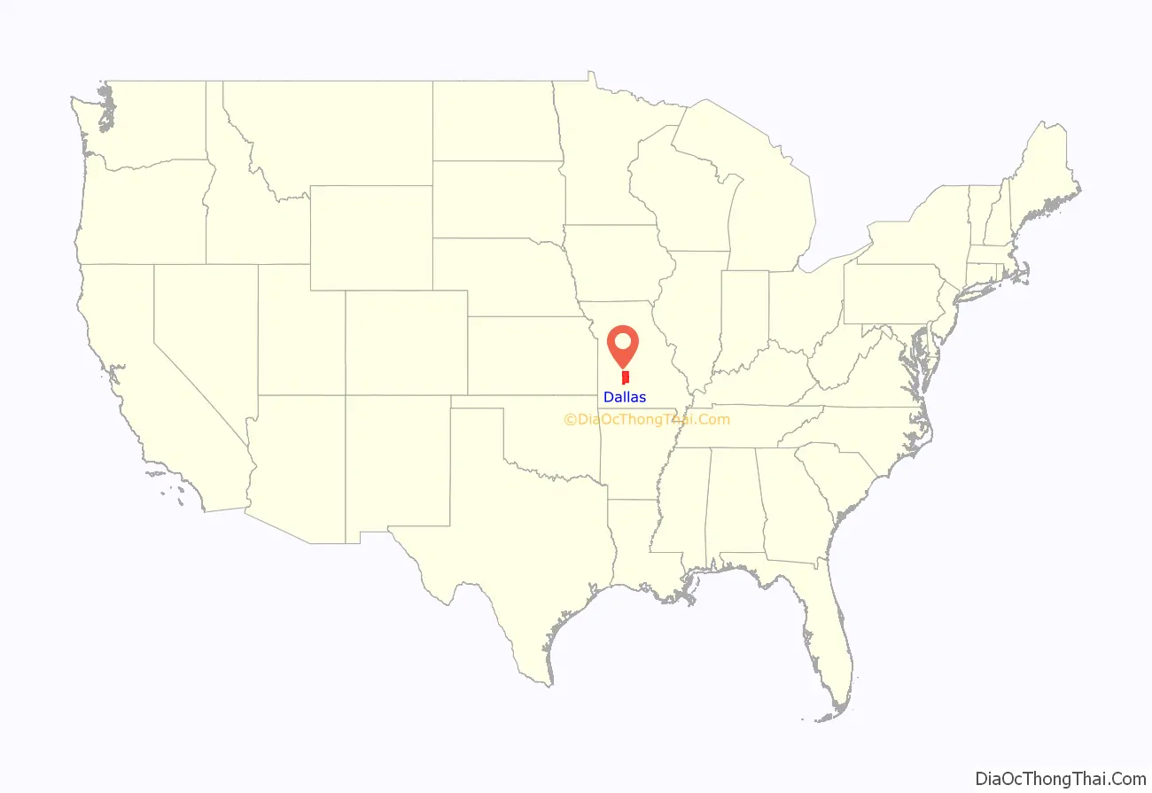
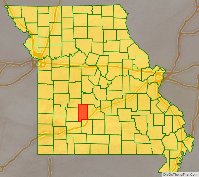
Dallas County location map. Where is Dallas County?
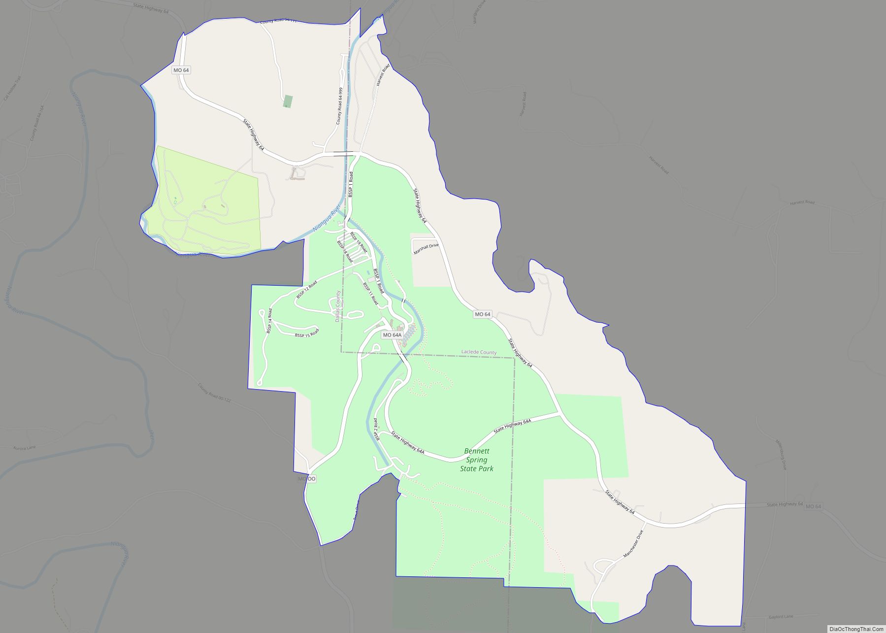
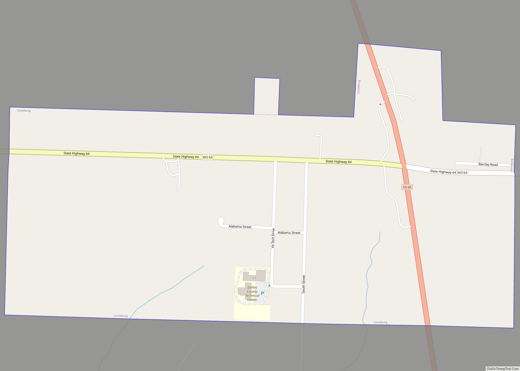
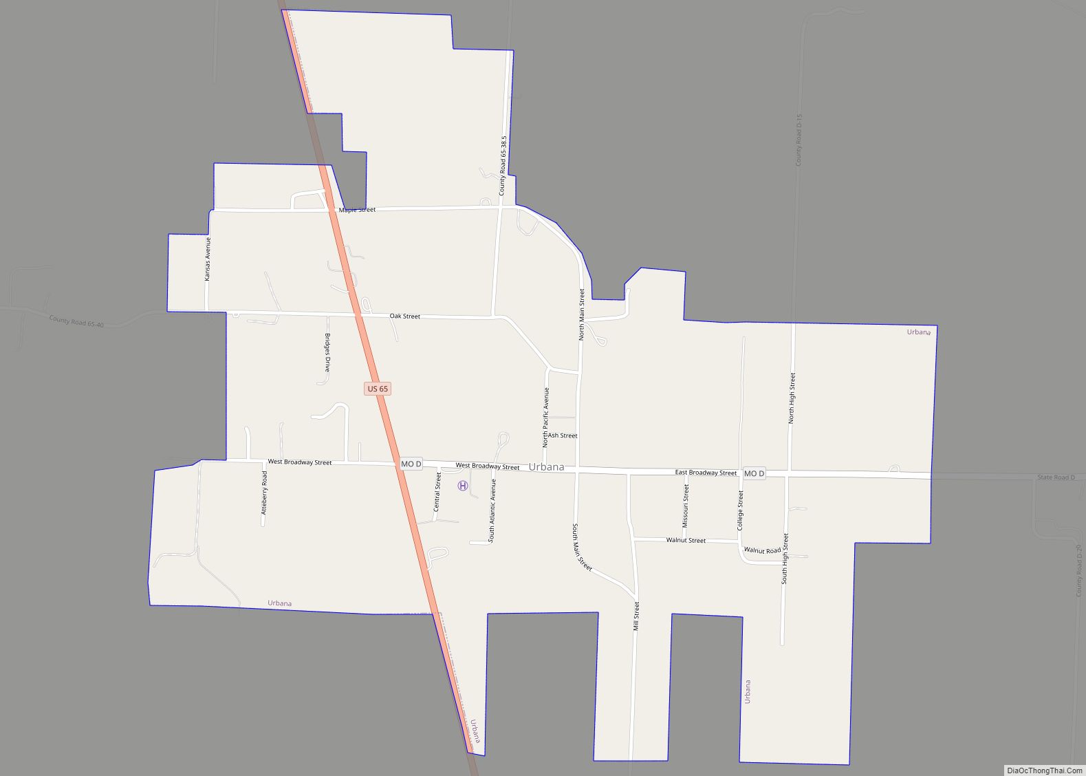
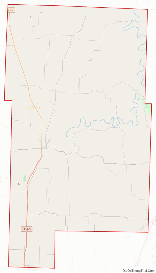
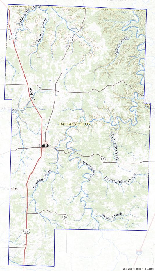
Dallas County Road Map
Geography
According to the U.S. Census Bureau, the county has a total area of 543 square miles (1,410 km), of which 541 square miles (1,400 km) is land and 2.1 square miles (5.4 km) (0.4%) is water.
Adjacent counties
- Camden County (north)
- Laclede County (east)
- Webster County (south)
- Greene County (southwest)
- Polk County (west)
- Hickory County (northwest)
Major highways
- U.S. Route 65
- Route 32
- Route 64
- Route 64A
- Route 73
Dallas County Topographic Map
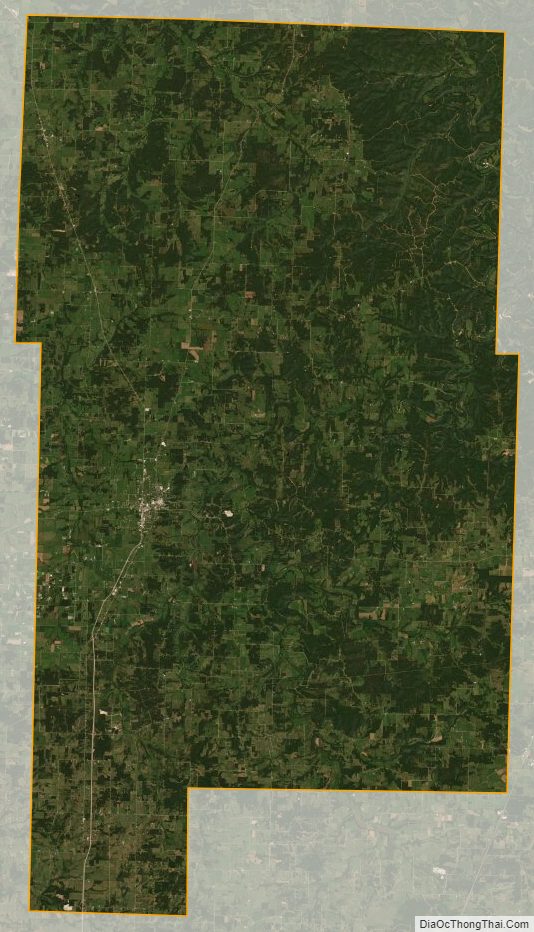
Dallas County Satellite Map
Dallas County Outline Map
See also
Map of Missouri State and its subdivision:- Adair
- Andrew
- Atchison
- Audrain
- Barry
- Barton
- Bates
- Benton
- Bollinger
- Boone
- Buchanan
- Butler
- Caldwell
- Callaway
- Camden
- Cape Girardeau
- Carroll
- Carter
- Cass
- Cedar
- Chariton
- Christian
- Clark
- Clay
- Clinton
- Cole
- Cooper
- Crawford
- Dade
- Dallas
- Daviess
- De Kalb
- Dent
- Douglas
- Dunklin
- Franklin
- Gasconade
- Gentry
- Greene
- Grundy
- Harrison
- Henry
- Hickory
- Holt
- Howard
- Howell
- Iron
- Jackson
- Jasper
- Jefferson
- Johnson
- Knox
- Laclede
- Lafayette
- Lawrence
- Lewis
- Lincoln
- Linn
- Livingston
- Macon
- Madison
- Maries
- Marion
- McDonald
- Mercer
- Miller
- Mississippi
- Moniteau
- Monroe
- Montgomery
- Morgan
- New Madrid
- Newton
- Nodaway
- Oregon
- Osage
- Ozark
- Pemiscot
- Perry
- Pettis
- Phelps
- Pike
- Platte
- Polk
- Pulaski
- Putnam
- Ralls
- Randolph
- Ray
- Reynolds
- Ripley
- Saint Charles
- Saint Clair
- Saint Francois
- Saint Louis
- Sainte Genevieve
- Saline
- Schuyler
- Scotland
- Scott
- Shannon
- Shelby
- Stoddard
- Stone
- Sullivan
- Taney
- Texas
- Vernon
- Warren
- Washington
- Wayne
- Webster
- Worth
- Wright
- Alabama
- Alaska
- Arizona
- Arkansas
- California
- Colorado
- Connecticut
- Delaware
- District of Columbia
- Florida
- Georgia
- Hawaii
- Idaho
- Illinois
- Indiana
- Iowa
- Kansas
- Kentucky
- Louisiana
- Maine
- Maryland
- Massachusetts
- Michigan
- Minnesota
- Mississippi
- Missouri
- Montana
- Nebraska
- Nevada
- New Hampshire
- New Jersey
- New Mexico
- New York
- North Carolina
- North Dakota
- Ohio
- Oklahoma
- Oregon
- Pennsylvania
- Rhode Island
- South Carolina
- South Dakota
- Tennessee
- Texas
- Utah
- Vermont
- Virginia
- Washington
- West Virginia
- Wisconsin
- Wyoming