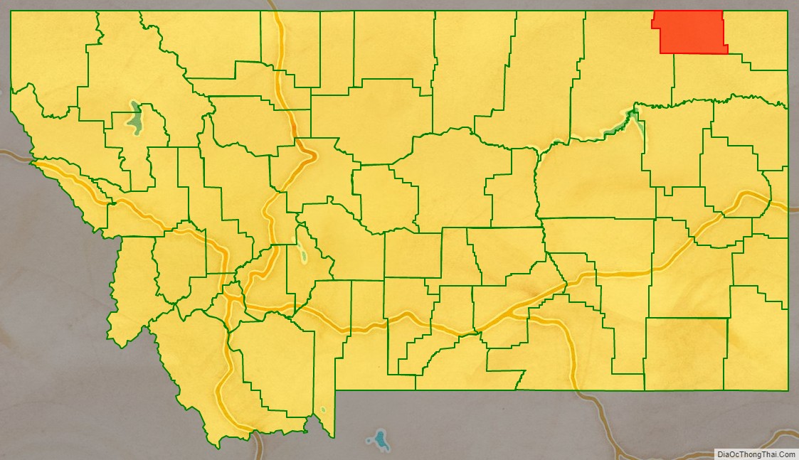
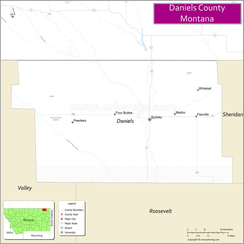
Daniels County is a county located in the U.S. state of Montana. As of the 2020 census, the population was 1,661. Its county seat is Scobey. It is on Montana’s north border, and thus abuts the Canada–US border with Saskatchewan.
| Name: | Daniels County |
|---|---|
| FIPS code: | 30-019 |
| State: | Montana |
| Founded: | 1920 |
| Named for: | Mansfield Daniels |
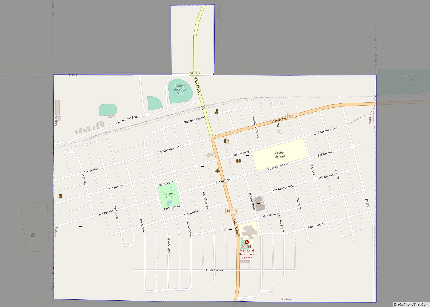
| Seat: | Scobey |
| Largest city: | Scobey |
| Total Area: | 1,426 sq mi (3,690 km²) |
| Land Area: | 1,426 sq mi (3,690 km²) |
| Total Population: | 1,661 |
| Population Density: | 1.2/sq mi (0.45/km²) |
| Time zone: | UTC−7 (Mountain) |
| Summer Time Zone (DST): | UTC−6 (MDT) |
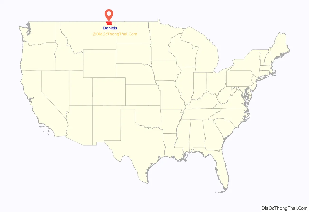
Daniels County location map. Where is Daniels County?
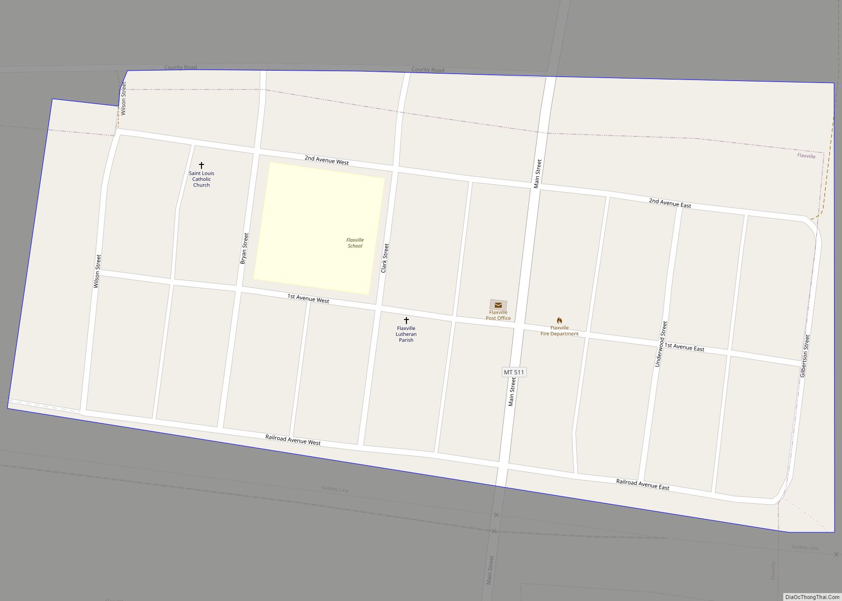
History
Daniels County was created in 1920 from portions of Sheridan and Valley Counties. The name comes from Mansfield Daniels, a local rancher.
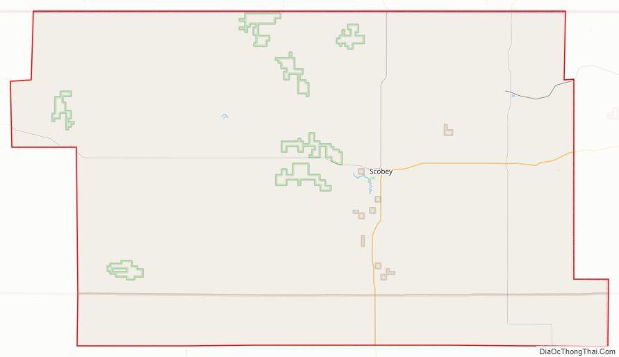
Daniels County Road Map
Geography
According to the United States Census Bureau, the county has a total area of 1,426 square miles (3,690 km), of which 1,426 square miles (3,690 km) is land and 0.4 square miles (1.0 km) (0.03%) is water.
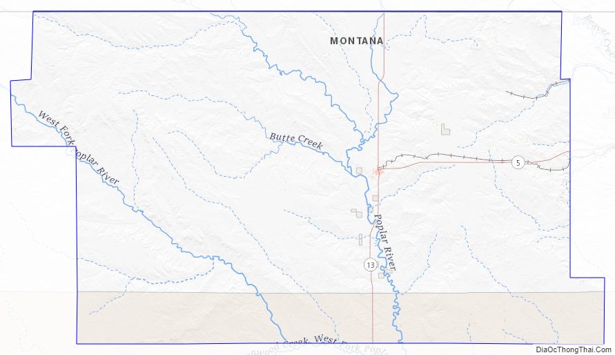
Daniels County is predominantly rolling plains. The Poplar River flows through the county.
Major highways
- Montana Highway 5
- Montana Highway 13
Adjacent counties and rural municipalities
- Rural Municipality (RM) of Old Post No. 43, Saskatchewan (SK) – northwest
- RM of Poplar Valley No. 12, SK – north
- RM of Hart Butte No. 11, SK – north
- RM of Happy Valley No. 10, SK – northeast
- Sheridan County – east
- Roosevelt County – south
- Valley County – west
Daniels County Topographic Map
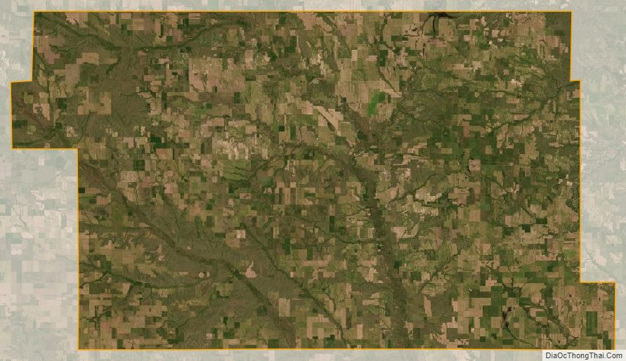
Daniels County Satellite Map
Daniels County Outline Map