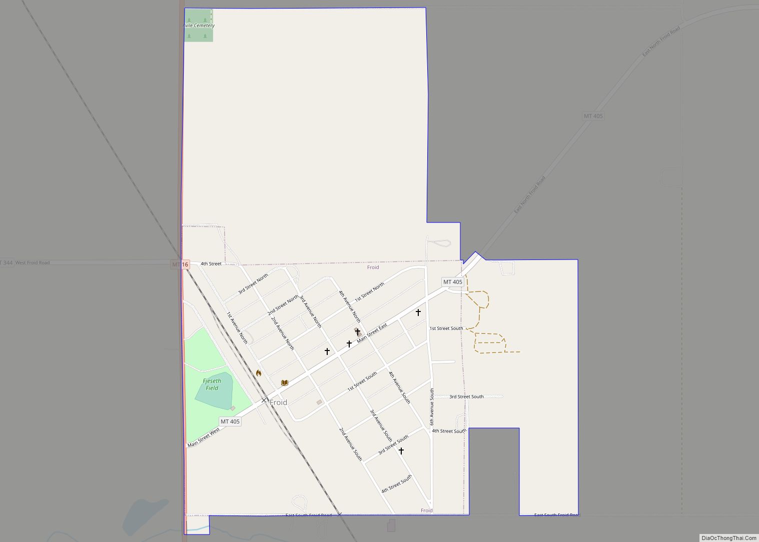
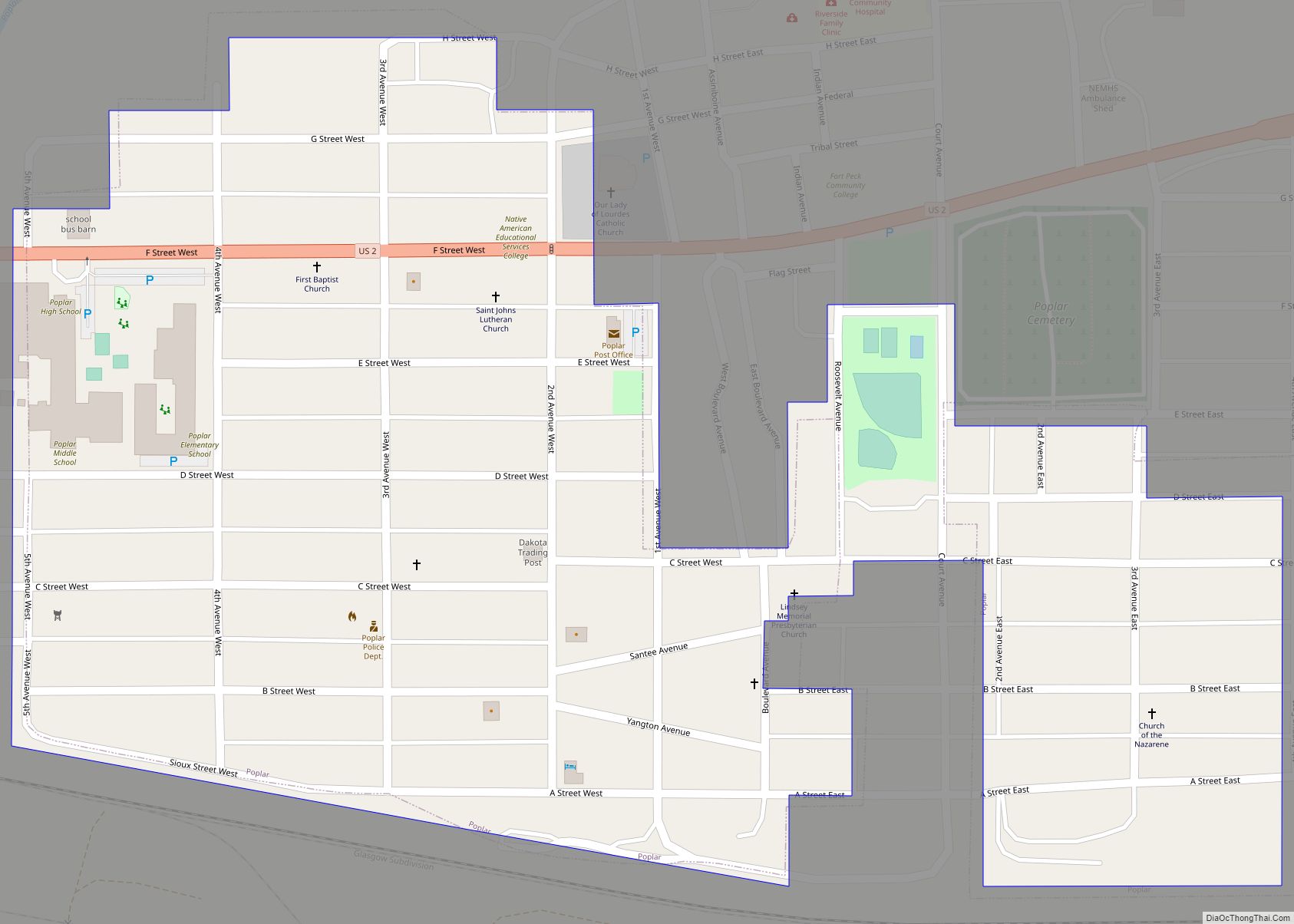
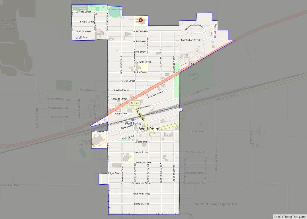
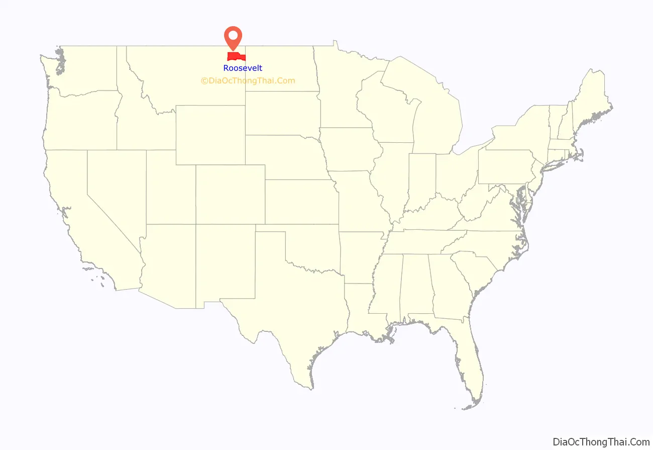
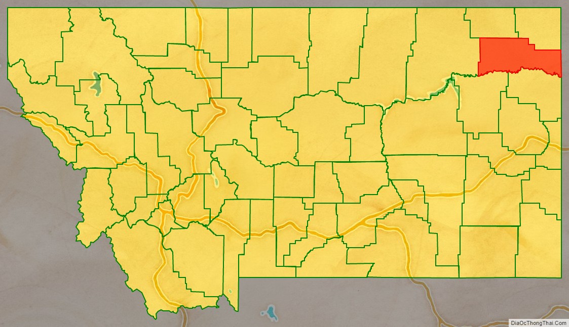
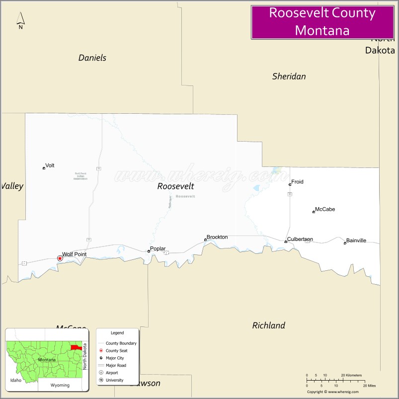
Roosevelt County is a county in the U.S. state of Montana. As of the 2020 census, the population was 10,794. Its county seat is Wolf Point. Roosevelt County was created by the Montana Legislature in 1919 from a portion of Sheridan County. The name honors former president Theodore Roosevelt, who had died earlier that year.
| Name: | Roosevelt County |
|---|---|
| FIPS code: | 30-085 |
| State: | Montana |
| Founded: | 1919 |
| Named for: | Theodore Roosevelt |
| Seat: | Wolf Point |
| Largest city: | Wolf Point |
| Total Area: | 2,369 sq mi (6,140 km²) |
| Land Area: | 2,355 sq mi (6,100 km²) |
| Total Population: | 10,794 |
| Population Density: | 4.6/sq mi (1.8/km²) |
| Time zone: | UTC−7 (Mountain) |
| Summer Time Zone (DST): | UTC−6 (MDT) |
| Website: | www.rooseveltcounty.org |
Roosevelt County location map. Where is Roosevelt County?
Roosevelt County Road Map
Geography
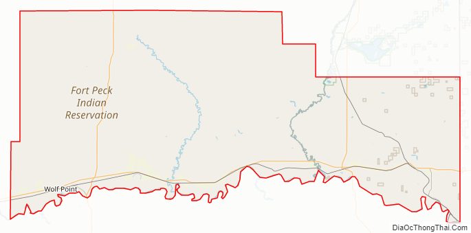
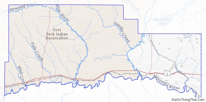
According to the United States Census Bureau, the county has a total area of 2,369 square miles (6,140 km), of which 2,355 square miles (6,100 km) is land and 15 square miles (39 km) (0.6%) is water. Three-fourths of the county’s land area lies within the Fort Peck Indian Reservation.
Major highways
- U.S. Route 2
- Montana Highway 13
- Montana Highway 16
- Montana Highway 25
- Montana Highway 251
Adjacent counties
- Daniels County – northwest
- Sheridan County – northeast
- Williams County, North Dakota – east
- McKenzie County, North Dakota – southeast
- Richland County – south
- McCone County – southwest
- Valley County – west
National protected areas
- Fort Union Trading Post National Historic Site (part)
- Medicine Lake National Wildlife Refuge (part)
Roosevelt County Topographic Map
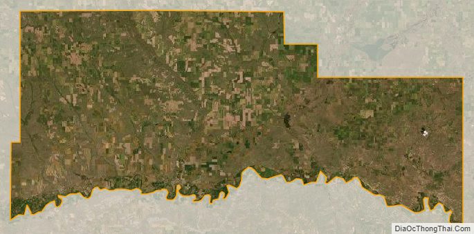
Roosevelt County Satellite Map
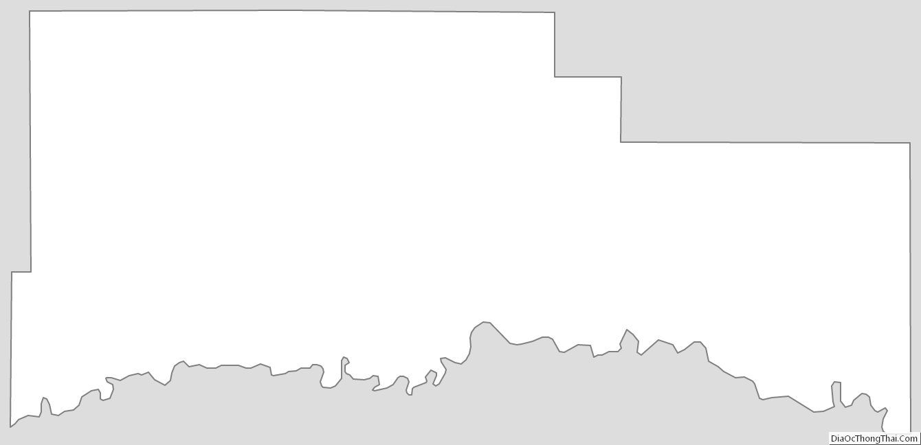
Roosevelt County Outline Map