Decatur County is a county located in the U.S. state of Georgia. As of the 2020 census, the population was 29,367. The county seat is Bainbridge.
Decatur County comprises the Bainbridge, GA Micropolitan Statistical Area, which is included in the Tallahassee-Bainbridge, FL-GA Combined Statistical Area.
| Name: | Decatur County |
|---|---|
| FIPS code: | 13-087 |
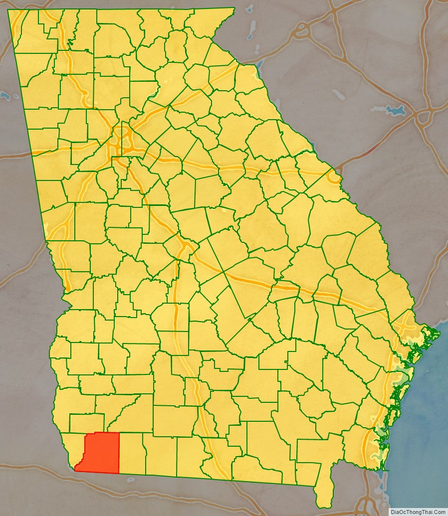
| State: | Georgia |
| Founded: | 1823 |
| Named for: | Stephen Decatur |
| Seat: | Bainbridge |
| Largest city: | Bainbridge |
| Total Area: | 623 sq mi (1,610 km²) |
| Land Area: | 597 sq mi (1,550 km²) |
| Total Population: | 29,367 |
| Population Density: | 49/sq mi (19/km²) |
| Time zone: | UTC−5 (Eastern) |
| Summer Time Zone (DST): | UTC−4 (EDT) |
| Website: | www.decaturcountyga.gov |
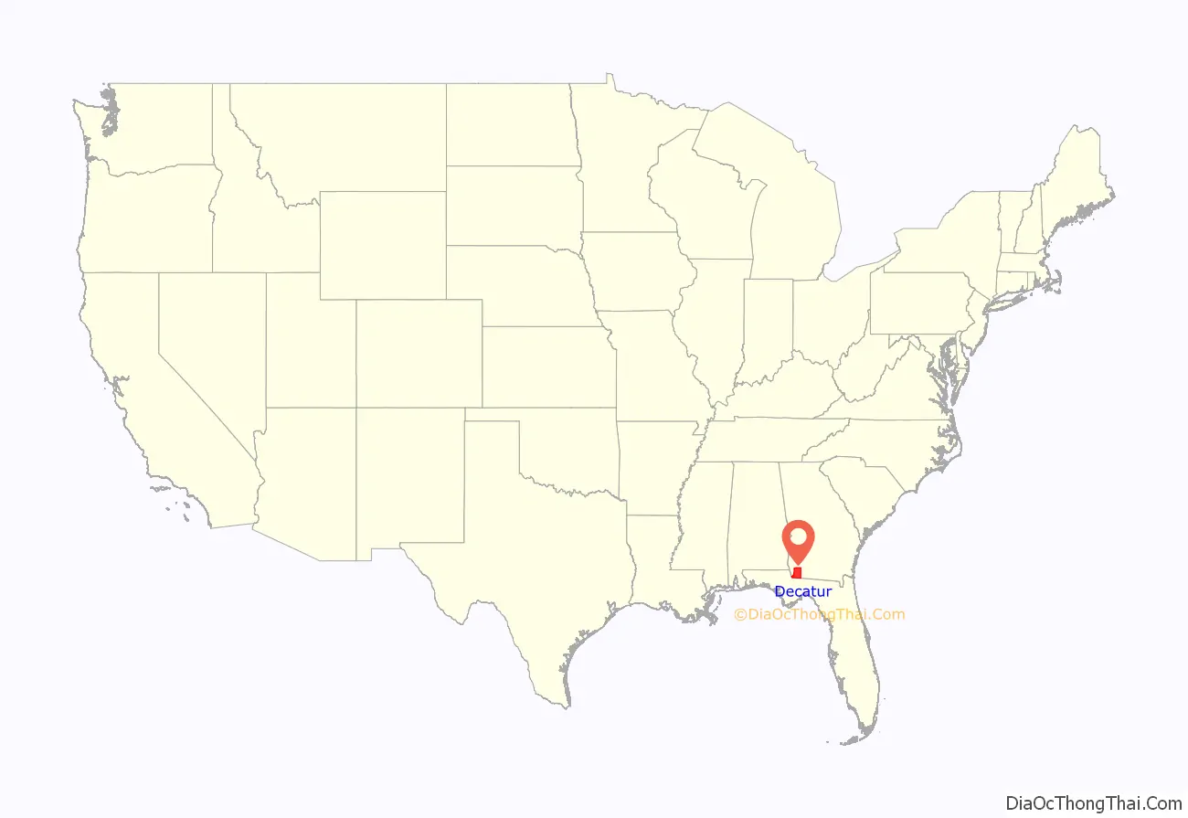
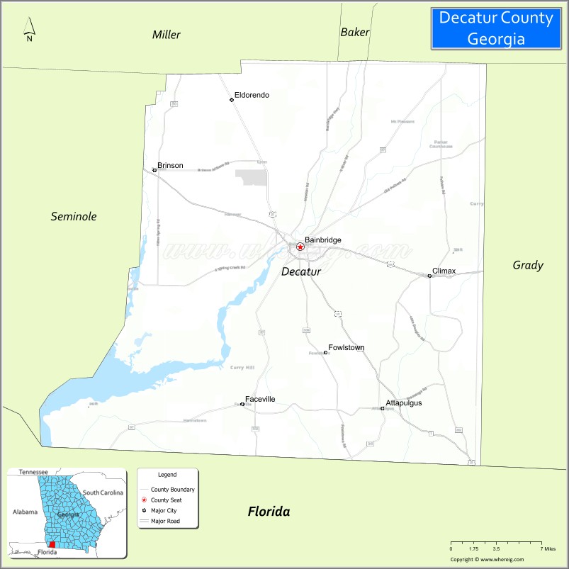
Decatur County location map. Where is Decatur County?
History
The county was created by an act of the Georgia General Assembly on December 8, 1823, from a portion of Early County. Three other counties were created from land that was originally part of Decatur County.
In 1825, a portion of Decatur was used in the creation of Thomas County. In 1905, another portion of Decatur was used in the creation of part of Grady County. In 1920, the western portion of Decatur County was used to form Seminole County in its entirety.
Decatur County is named for United States Navy Commodore Stephen Decatur, a hero of the War of 1812.
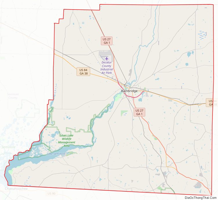
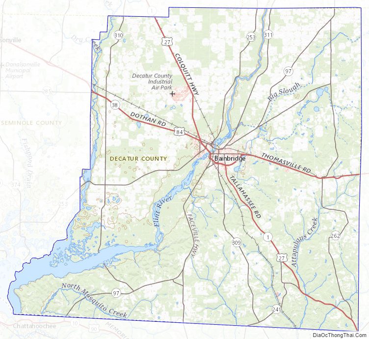
Decatur County Road Map
Geography
According to the U.S. Census Bureau, the county has a total area of 623 square miles (1,610 km), of which 597 square miles (1,550 km) is land and 26 square miles (67 km) (4.2%) is water.
The bulk of Decatur County, from northeast to southwest, and centered on Bainbridge, is located in the Lower Flint River sub-basin of the ACF River Basin (Apalachicola-Chattahoochee-Flint River Basin). Almost all of the county’s western border is located in the Spring Creek sub-basin of the same ACF River Basin. The southwestern portion of Decatur County, centered on Attapulgus, and bordered on the west by State Route 302, is located on the Lower Ochlockonee River sub-basin of the larger Ochlockonee River basin. Finally, the county’s southwestern corner, west of State Route 302, is located in the Apalachicola River sub-basin of the same larger ACF River basin.
Major highways
- U.S. Route 27
U.S. Route 27 Business- U.S. Route 84
U.S. Route 84 Business- State Route 1
- State Route 1 Business
- State Route 38
- State Route 97
- State Route 97 Spur
- State Route 241
- State Route 253
- State Route 253 Spur
- State Route 262
- State Route 285
- State Route 302
- State Route 302 Spur
- State Route 309
- State Route 310
- State Route 311
Adjacent counties
- Miller County – north
- Mitchell County – northeast
- Baker County – northeast
- Grady County – east
- Gadsden County, Florida – south
- Seminole County – west
Decatur County Topographic Map
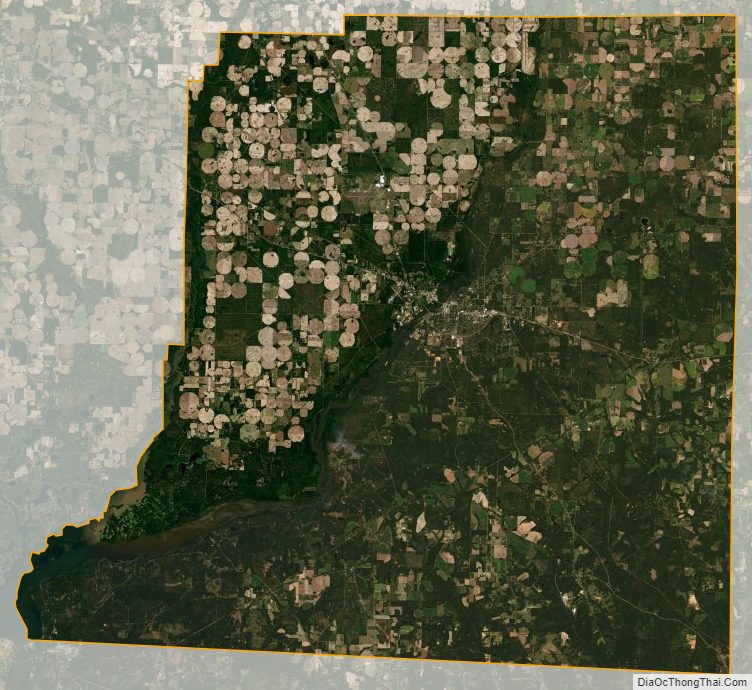
Decatur County Satellite Map
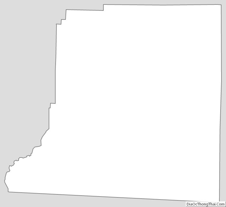
Decatur County Outline Map