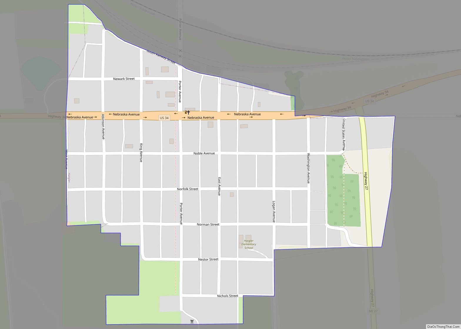
Dundy County is a county in the U.S. state of Nebraska. As of the 2020 United States Census, the population was 1,654. Its county seat is Benkelman.
In the Nebraska license plate system, Dundy County is represented by the prefix 76 (it had the seventy-sixth-largest number of vehicles registered in the county when the license plate system was established in 1922).
| Name: | Dundy County |
|---|---|
| FIPS code: | 31-057 |
| State: | Nebraska |
| Founded: | 1873 |
| Named for: | Elmer Scipio Dundy |
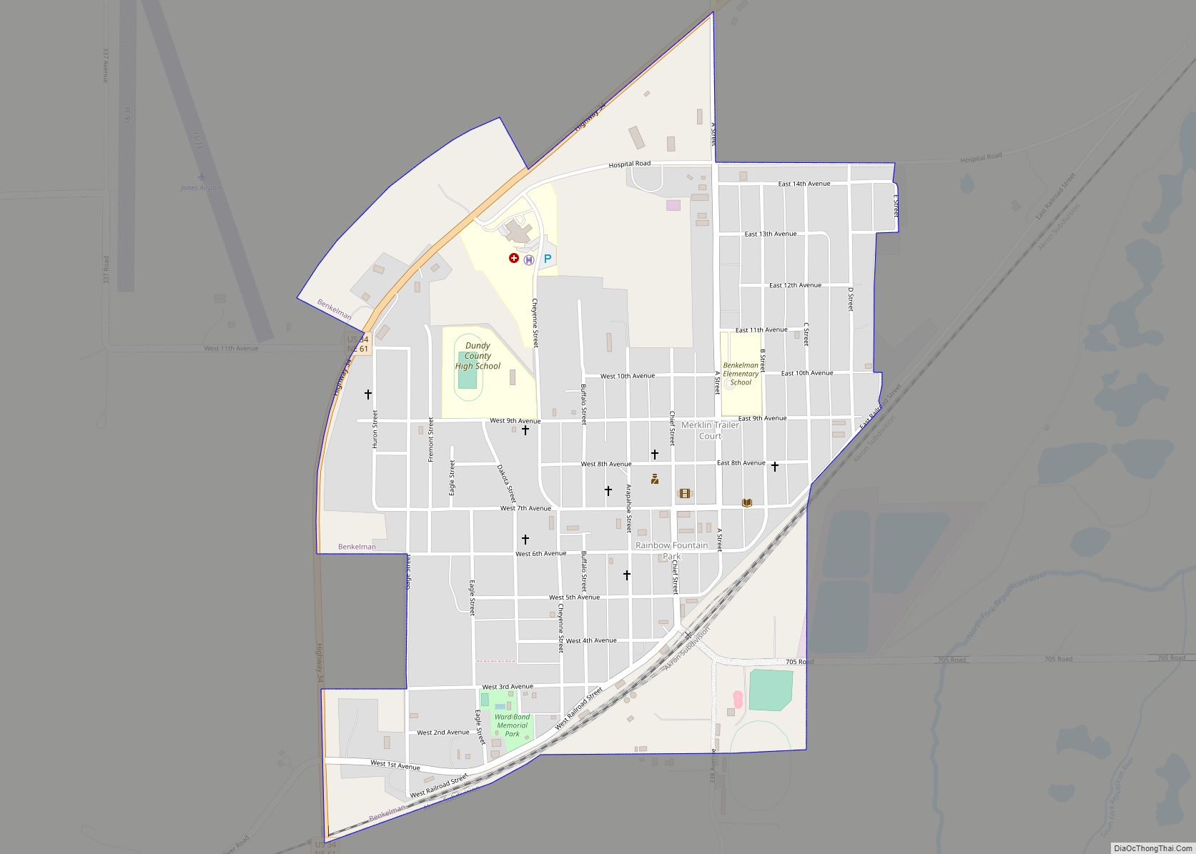
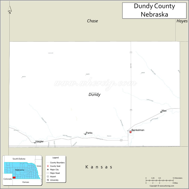
| Seat: | Benkelman |
| Largest city: | Benkelman |
| Total Area: | 921 sq mi (2,390 km²) |
| Land Area: | 920 sq mi (2,400 km²) |
| Total Population: | 1,654 |
| Population Density: | 2.0/sq mi (0.8/km²) |
| Time zone: | UTC−7 (Mountain) |
| Summer Time Zone (DST): | UTC−6 (MDT) |
| Website: | www.co.dundy.ne.us |
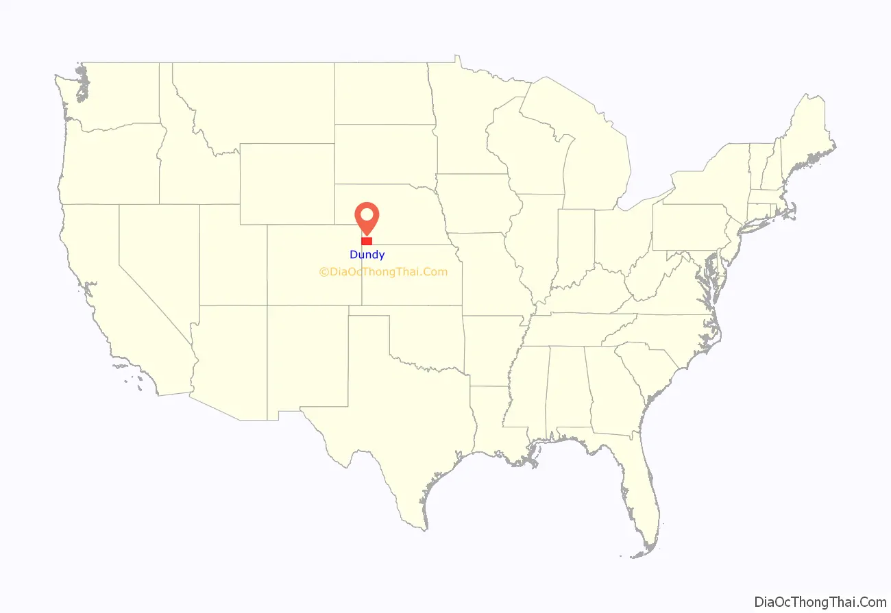
Dundy County location map. Where is Dundy County?
History
Dundy County was formed in 1873 and attached to neighboring Hitchcock County. It was named after Judge Elmer Scipio Dundy. The county government was organized in 1884.
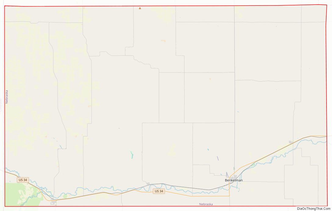
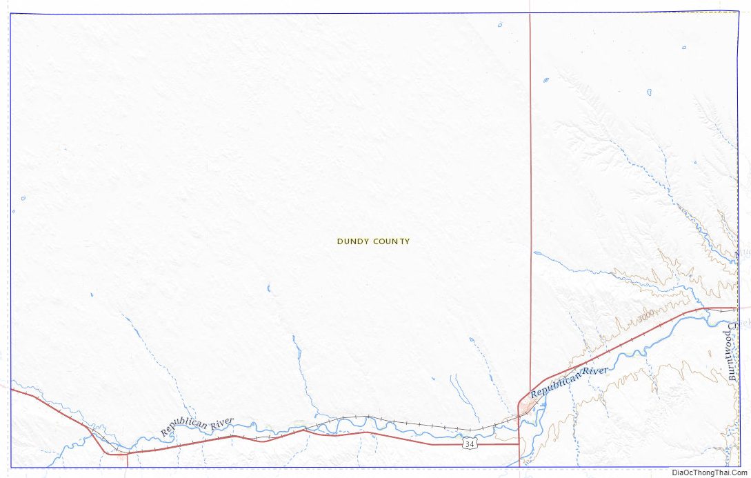
Dundy County Road Map
Geography
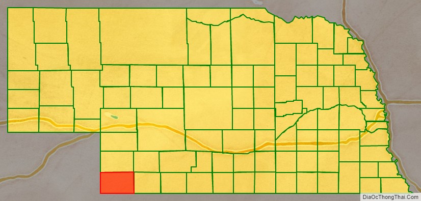
Dundy County lies at the lower SW corner of Nebraska. Its west boundary line abuts the east line of the state of Colorado, and its south boundary line abuts the north boundary line of the state of Kansas. According to the US Census Bureau, the county has an area of 921 square miles (2,390 km), of which 920 square miles (2,400 km) is land and 1.2 square miles (3.1 km) (0.1%) is water.
Major highways
- U.S. Highway 34
- Nebraska Highway 27
- Nebraska Highway 61
Adjacent counties
- Hitchcock County – east
- Rawlins County, Kansas – southeast
- Cheyenne County, Kansas – south
- Yuma County, Colorado – west
- Chase County – north
- Hayes County – northeast
Dundy County Topographic Map
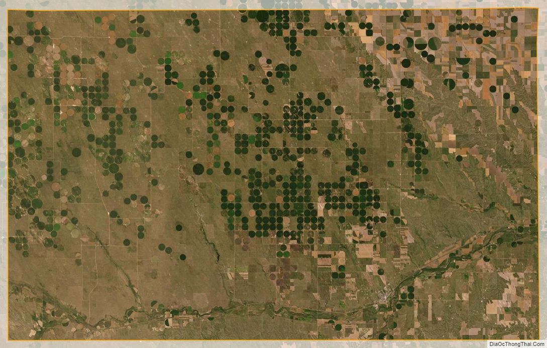
Dundy County Satellite Map
Dundy County Outline Map