| Name: | Yuma County |
|---|---|
| FIPS code: | 08-125 |
| State: | Colorado |
| Founded: | March 15, 1889 |
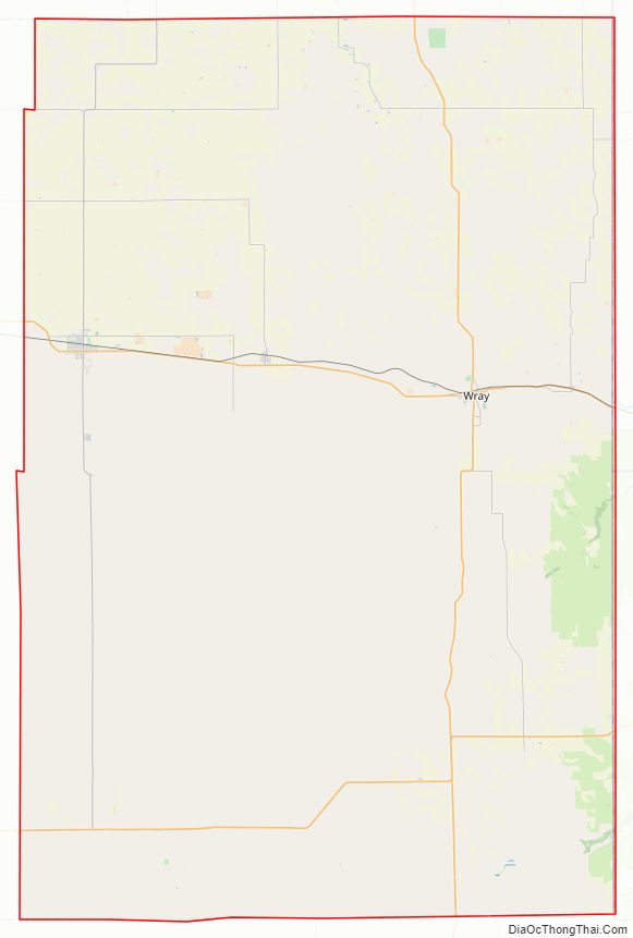
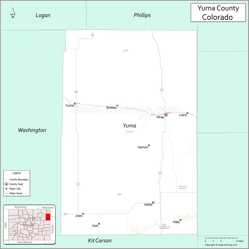
| Seat: | Wray |
| Largest city: | Yuma |
| Total Area: | 2,369 sq mi (6,140 km²) |
| Land Area: | 2,364 sq mi (6,120 km²) |
| Total Population: | 9,988 |
| Population Density: | 4.2/sq mi (1.6/km²) |
| Time zone: | UTC−7 (Mountain) |
| Summer Time Zone (DST): | UTC−6 (MDT) |
| Website: | www.yumacounty.net |
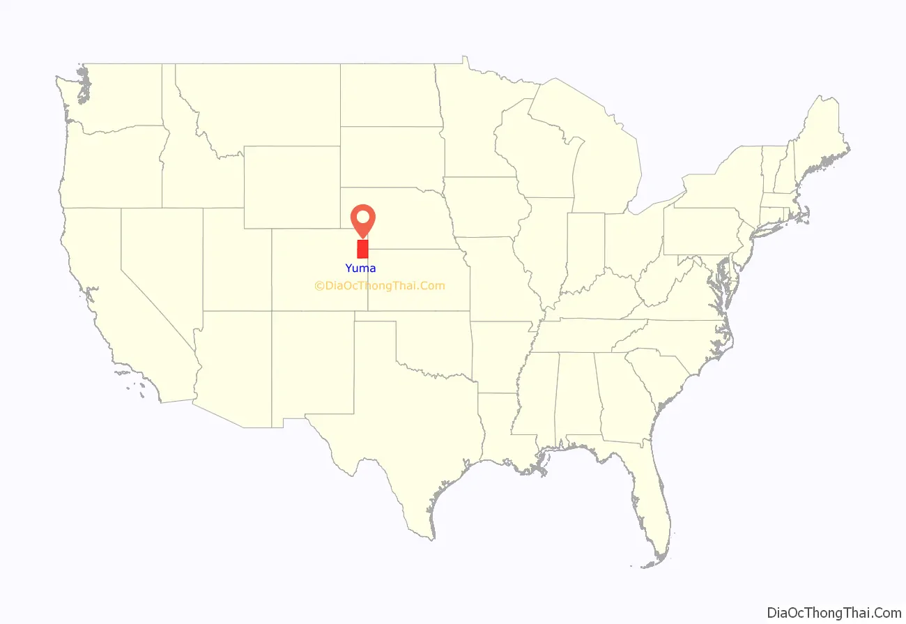
Yuma County location map. Where is Yuma County?
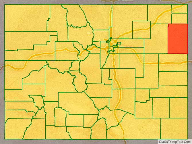
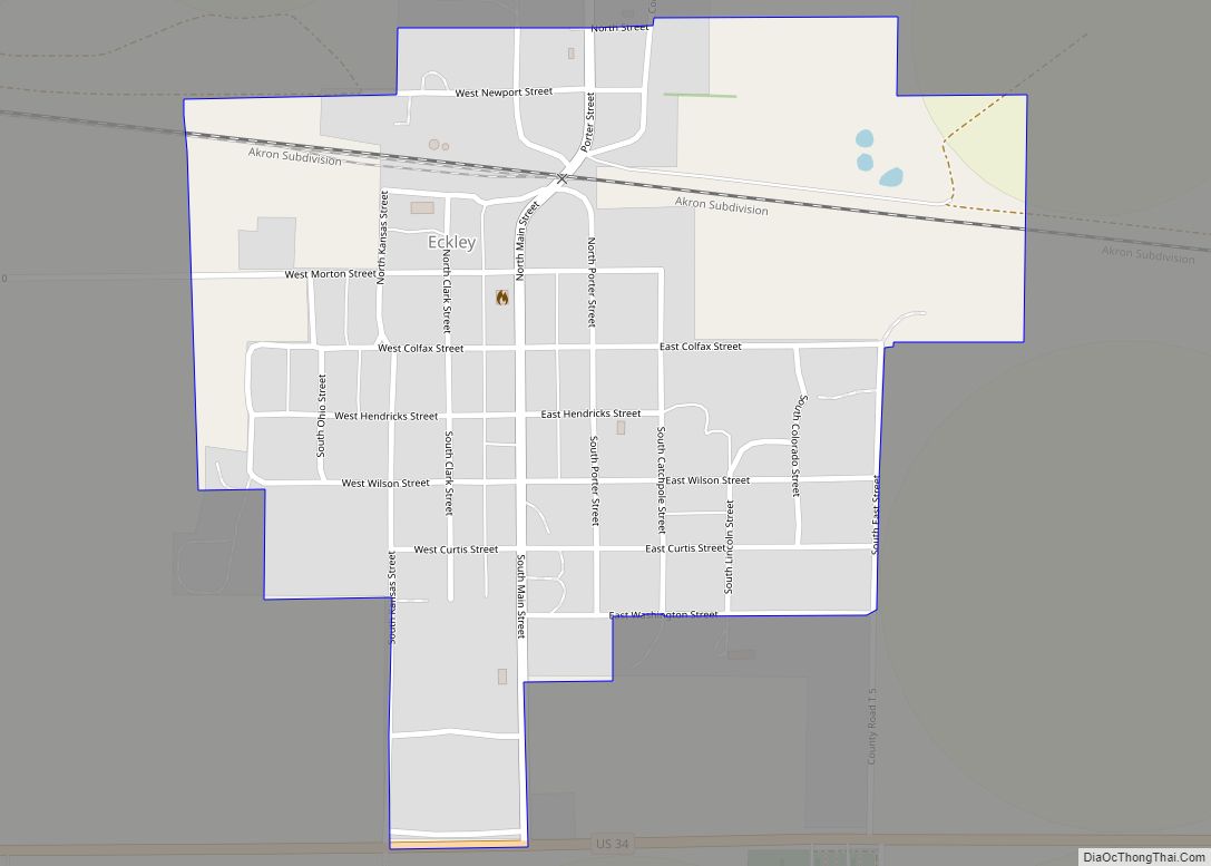
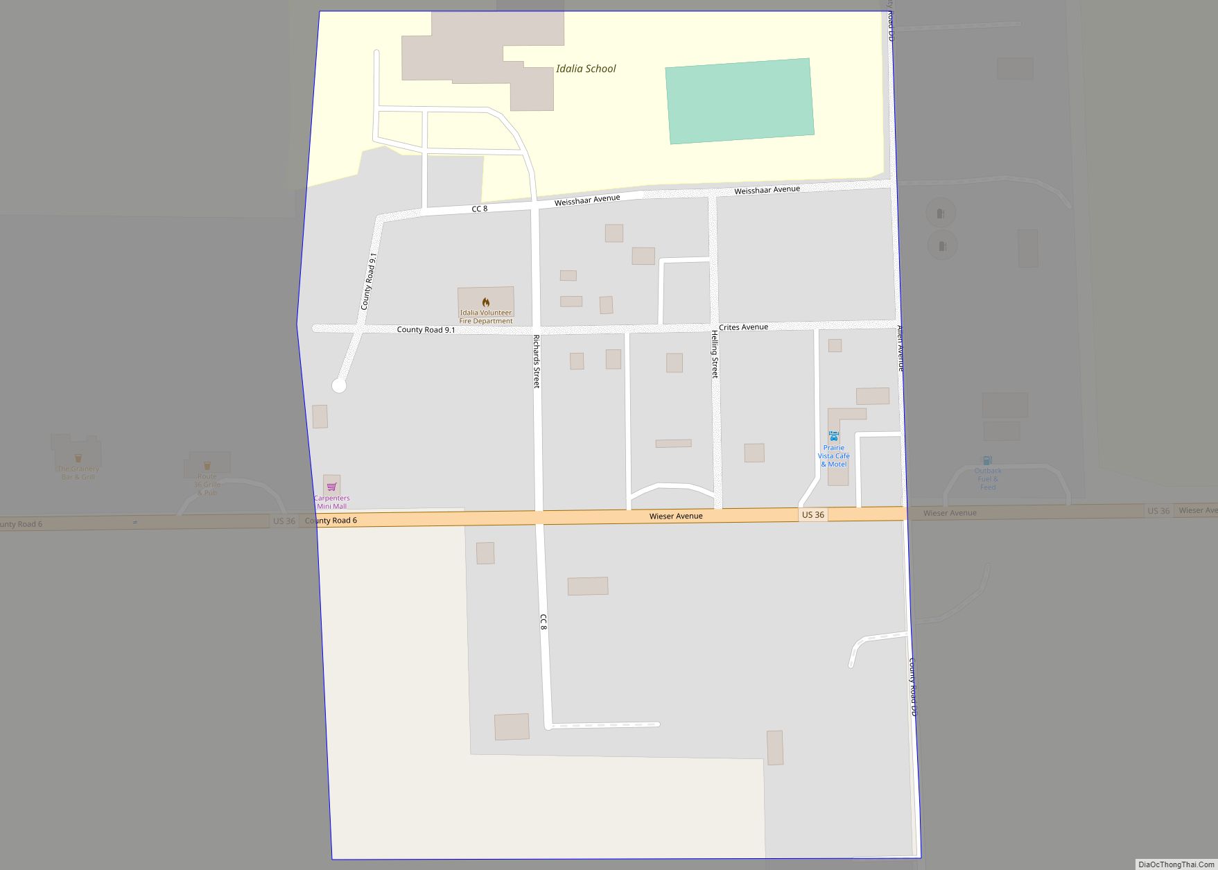
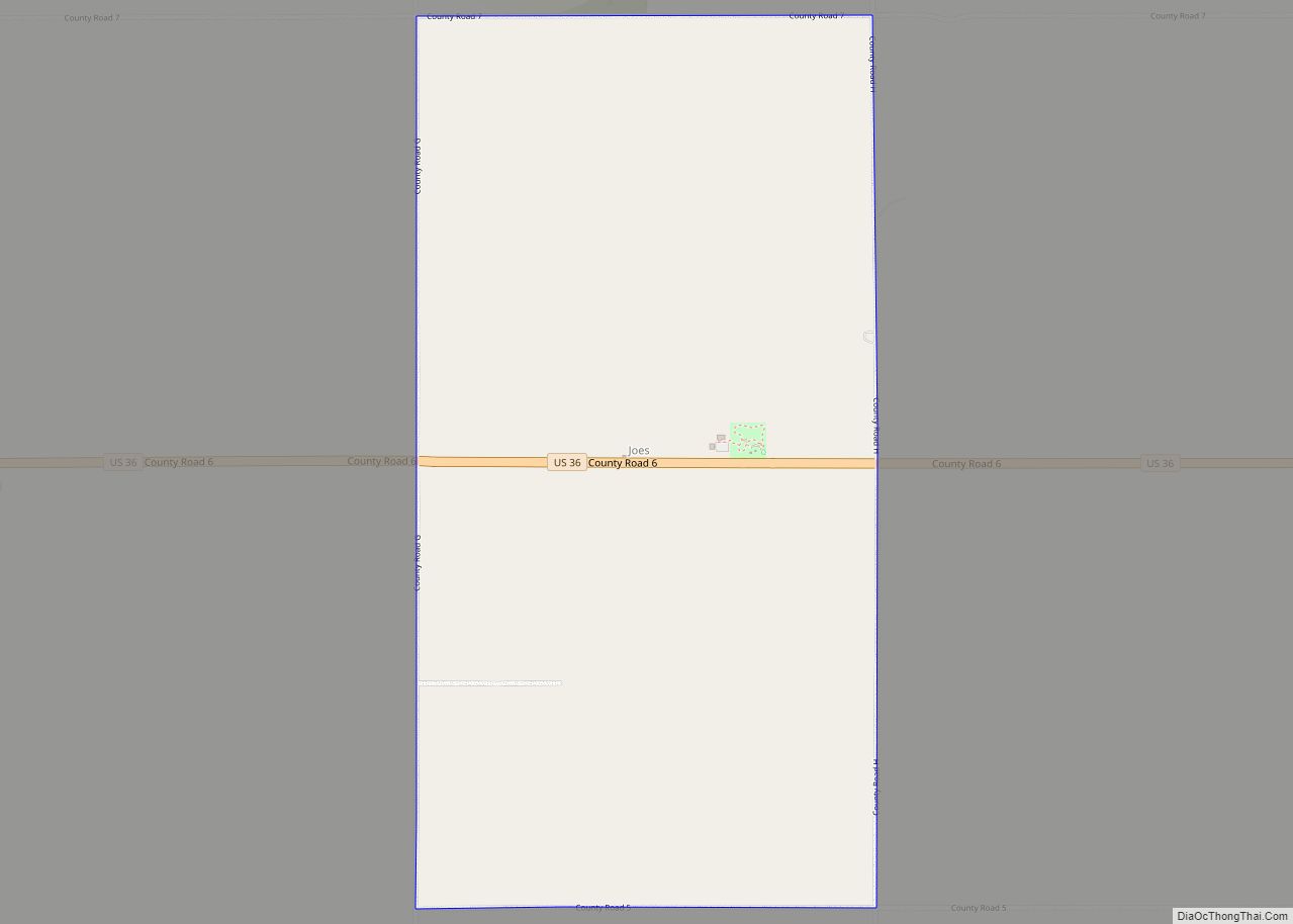
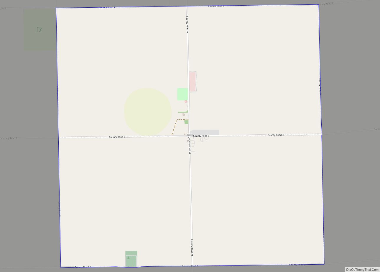
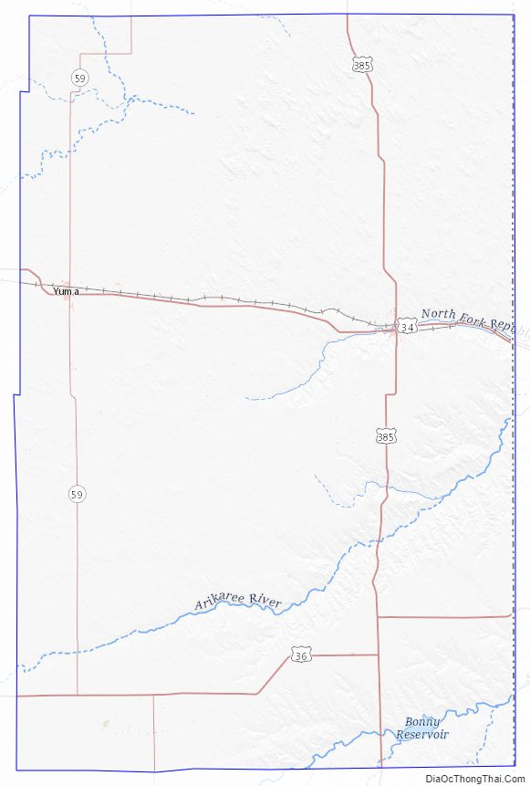
Yuma County Road Map
Geography
According to the U.S. Census Bureau, the county has a total area of 2,369 square miles (6,140 km), of which 2,364 square miles (6,120 km) is land and 4.3 square miles (11 km) (0.2%) is water.
The point where the Arikaree River flows out of Yuma County and into Cheyenne County, Kansas is the lowest point in the State of Colorado at 1,010 meters (3,315 feet) elevation. This crossing point is the highest low point of any U.S. state.
Adjacent counties
- Phillips County (north)
- Chase County, Nebraska (northeast)
- Cheyenne County, Kansas (east/Central Time border)
- Dundy County, Nebraska (east)
- Kit Carson County (south)
- Washington County (west)
- Logan County (northwest)
Major Highways
- U.S. Highway 34
- U.S. Highway 36
- U.S. Highway 385
- State Highway 59
Yuma County Topographic Map
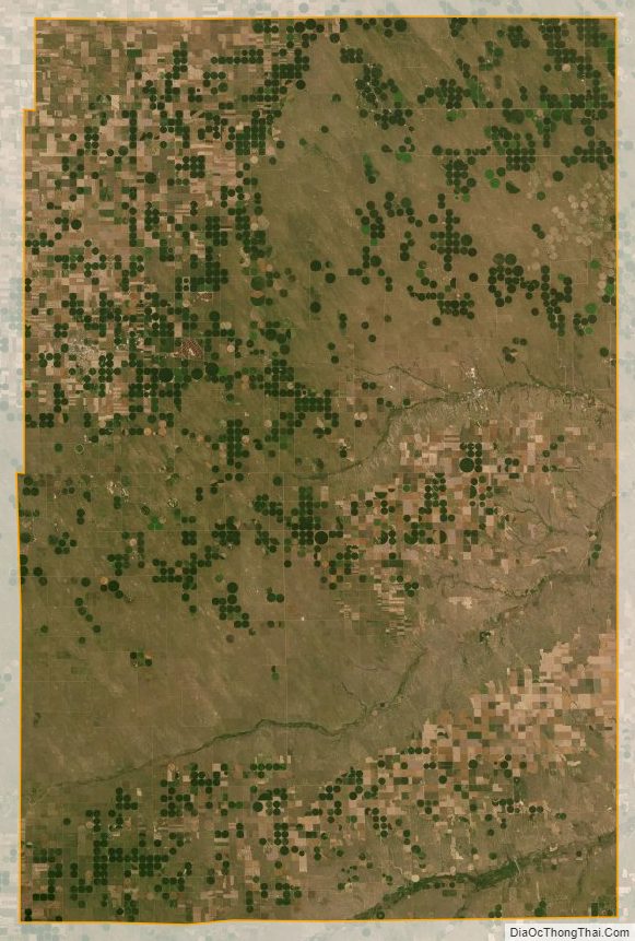
Yuma County Satellite Map
Yuma County Outline Map