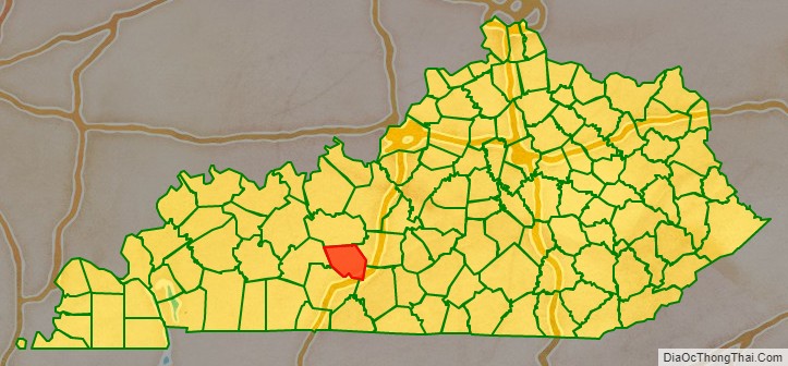
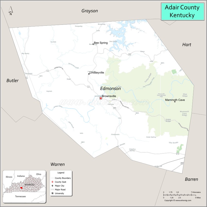
Edmonson County is a county located in the south central portion of the U.S. state of Kentucky. As of the 2020 census, the population was 12,126. Its county seat is Brownsville. The county was formed in 1825 and named for Captain John “Jack” Edmonson (1764–1813), who was killed at the Battle of Frenchtown during the War of 1812. This is a dry county where the sale of alcohol is prohibited. Edmonson County is included in the Bowling Green, Kentucky Metropolitan Statistical Area.
| Name: | Edmonson County |
|---|---|
| FIPS code: | 21-061 |
| State: | Kentucky |
| Founded: | January 12, 1825 |
| Named for: | John Edmonson |
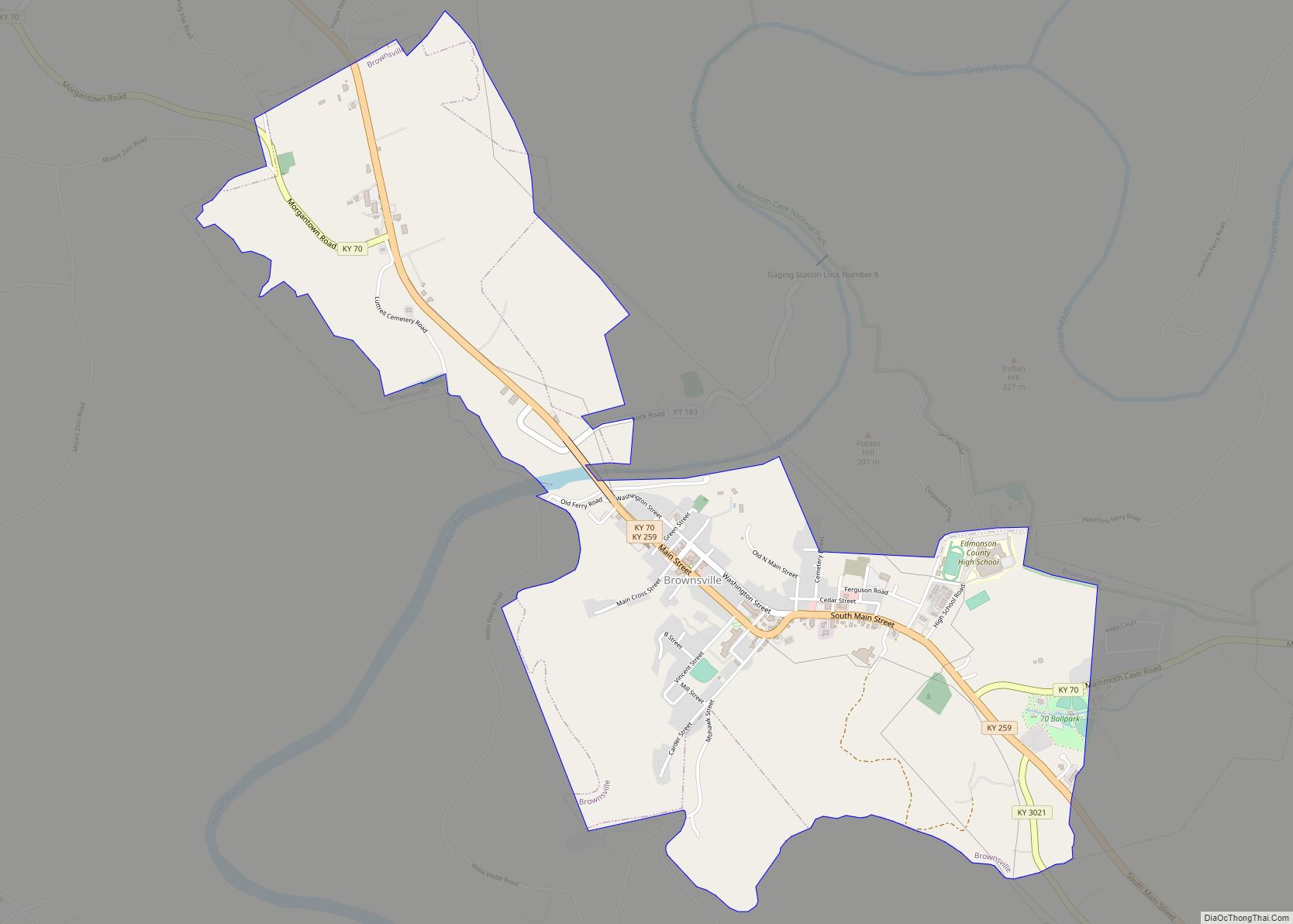
| Seat: | Brownsville |
| Largest city: | Brownsville |
| Total Area: | 308 sq mi (800 km²) |
| Land Area: | 303 sq mi (780 km²) |
| Total Population: | 12,126 |
| Population Density: | 39/sq mi (15/km²) |
| Time zone: | UTC−6 (Central) |
| Summer Time Zone (DST): | UTC−5 (CDT) |
| Website: | www.edmonsoncounty.ky.gov |
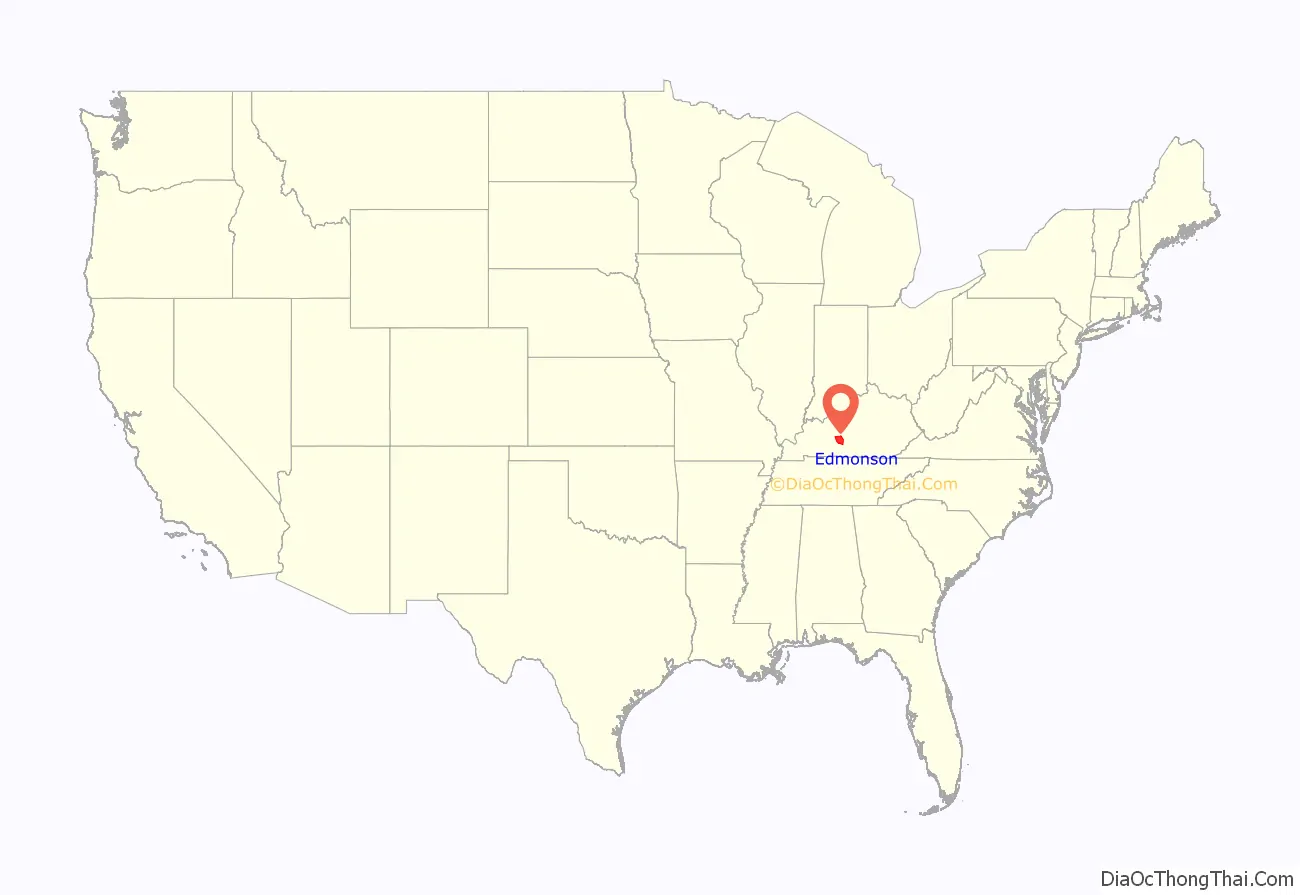
Edmonson County location map. Where is Edmonson County?
History
Edmonson County was established on January 12, 1825, from land given by Grayson, Hart and Warren counties. A courthouse built in 1873 replaced a former structure rendered unfit when its floor collapsed.
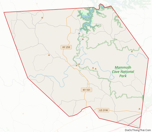
Edmonson County Road Map
Geography
According to the U.S. Census Bureau, the county has a total area of 308 square miles (800 km), of which 303 square miles (780 km) is land and 5.1 square miles (13 km) (1.7%) is water.
Adjacent counties
- Grayson County (north)
- Hart County (east)
- Barren County (southeast)
- Warren County (southwest)
- Butler County (west)
National protected area
- Mammoth Cave National Park
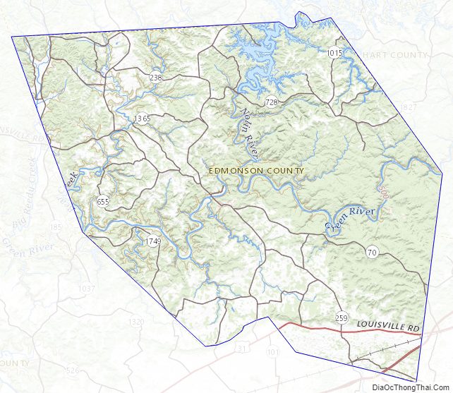
Edmonson County Topographic Map
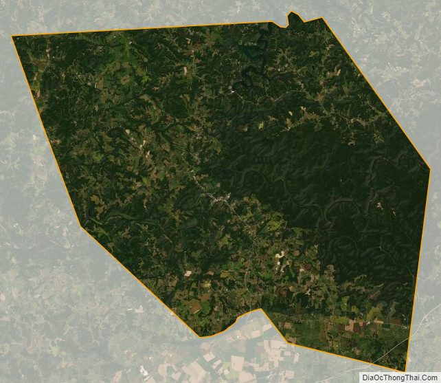
Edmonson County Satellite Map
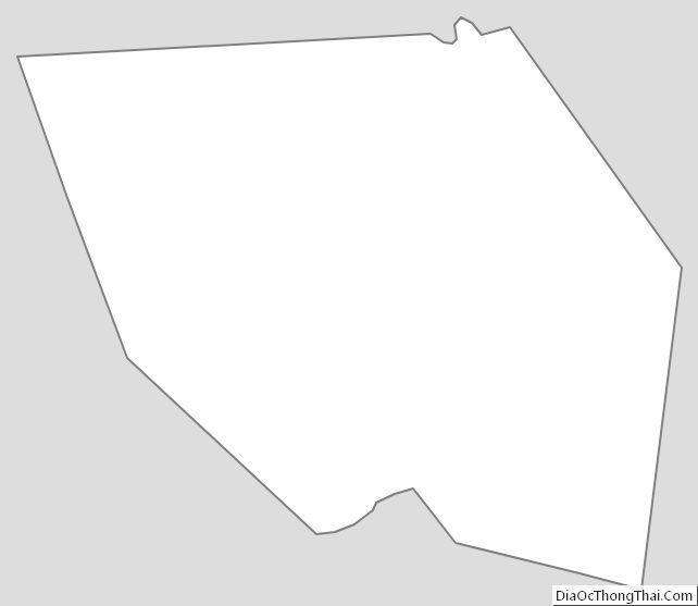
Edmonson County Outline Map