| Name: | Estill County |
|---|---|
| FIPS code: | 21-065 |
| State: | Kentucky |
| Founded: | 1808 |
| Named for: | James Estill |
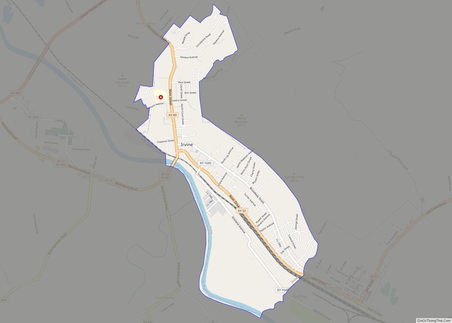
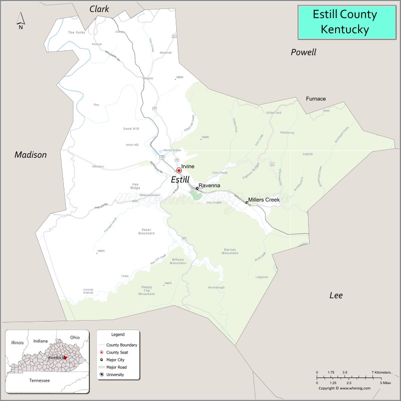
| Seat: | Irvine |
| Largest city: | Irvine |
| Total Area: | 256 sq mi (660 km²) |
| Land Area: | 253 sq mi (660 km²) |
| Total Population: | 14,163 |
| Population Density: | 55/sq mi (21/km²) |
| Time zone: | UTC−5 (Eastern) |
| Summer Time Zone (DST): | UTC−4 (EDT) |
| Website: | www.estillky.com |
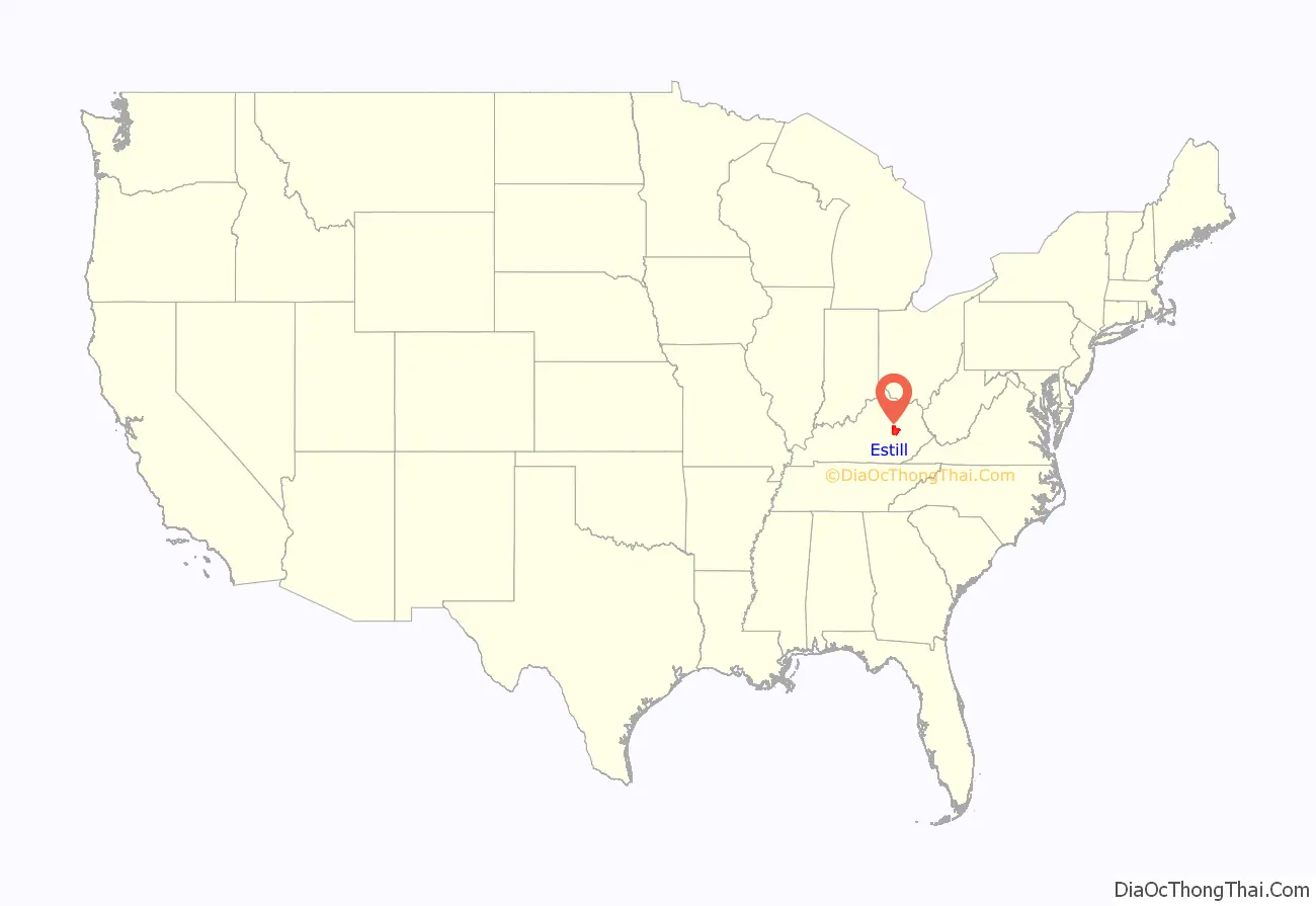
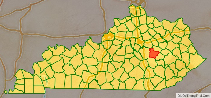
Estill County location map. Where is Estill County?
History
Estill County was formed in 1808 from land given by Clark and Madison counties, it was Kentucky’s 50th county. Originally settled by European settlers entering Kentucky via old buffalo and Indian trails and traveling through Boonesborough in what is today Madison County.
Estill County was one of the first areas in the United States to experience early industrialization, with iron mining and smelting beginning in 1810. The iron industry would go on to thrive in Estill County for decades, with the ruins of the Estill furnace, the Cottage furnace, and the Fitchburg Furnace still being visible today. The Fitchburg furnace was a particularly impressive engineering feat. Standing 81 feet tall, the furnace is the largest charcoal furnace in the world, and one of the largest 25 dry-stone masonry structures in the world. The iron industry declined after the Civil War when iron deposits and timber to fire the furnaces were depleted, and innovation made charcoal furnaces obsolete. During the Civil War Estill County was strongly pro-union, similar to surrounding counties, especially to the southeast.
Additionally, the county was historically known for the Estill Springs summer resort, situated near mineral springs in Irvine. This resort was a popular vacation site for many prominent Kentuckians in the 19th century, with men including Henry Clay, John Crittenden, and John C. Breckinridge vacationing there. The current courthouse, built in 1941, replaced a structure dating from the 1860s.
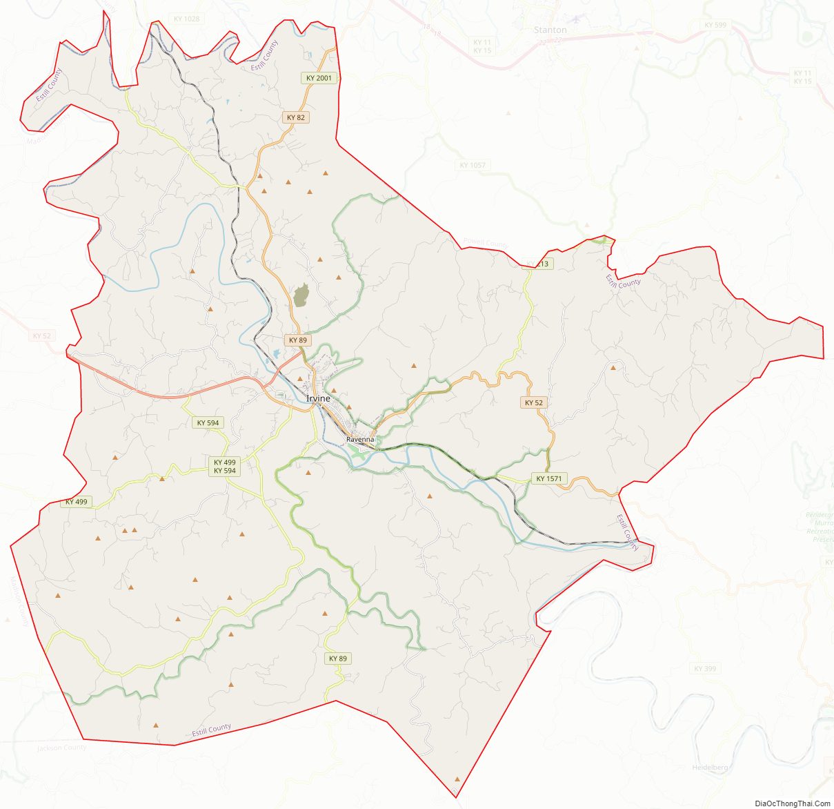
Estill County Road Map
Geography
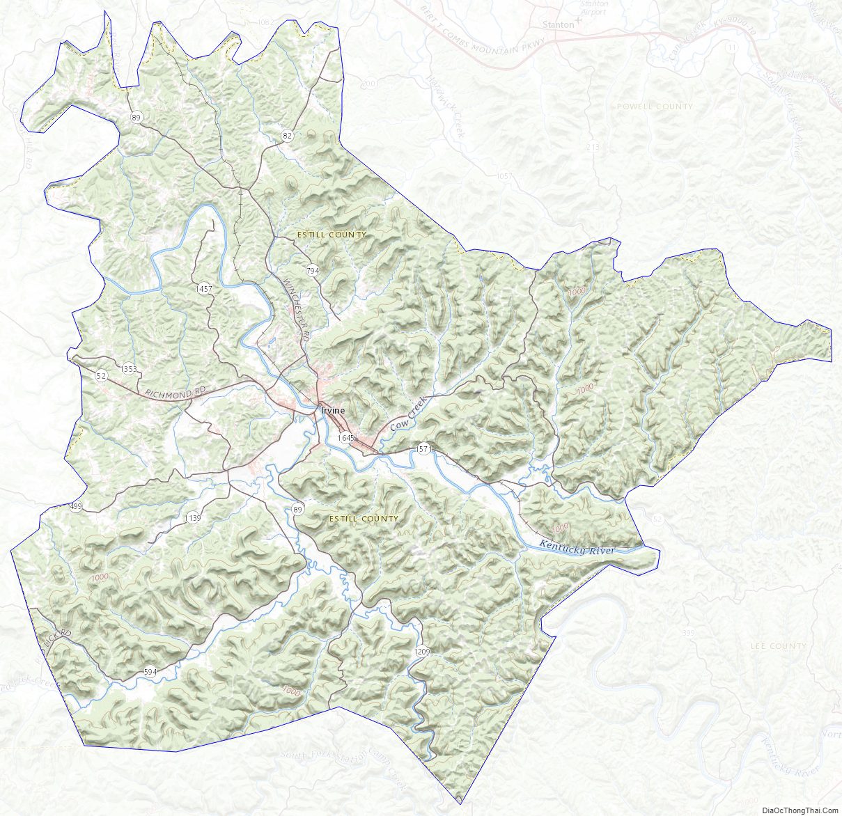
According to the United States Census Bureau, the county has a total area of 256 square miles (660 km), of which 253 square miles (660 km) is land and 2.5 square miles (6.5 km) (1.0%) is water. Estill County is located at the contact of two Kentucky regions: the Bluegrass and the Cumberland plateau, because of this the county is known as the location where the “Bluegrass kisses the Mountains.”
Estill County contains two important rivers. With the Red River, famous for its gorge in neighboring Powell County, forming the northern border. And the Kentucky River bisecting the county. Much of Estill County’s development, including the towns of Irvine and Ravenna, is located in the fertile bottomlands of the Kentucky River. Additionally, due to the Kentucky River’s deep valley and Estill County’s location at the edge of the Cumberland plateau the county’s topography is striking. The Pottsville Escarpment is prominent in the county, marking the divide between the Bluegrass and the mountains. Because of this topography total relief is nearly 1000 feet in the county, with the highest point being Zion Mountain, located about 6+1⁄2 miles southwest of Irvine at 1,511 feet, and the lowest point being the confluence of the Kentucky River and the Red River at 566 feet. Other high points include Happy Top Mountain, 1,500 feet; Preacher Estes Mountain, 1,475 feet; Peter Mountain, 1,454 feet; Low Knob, 1,450 feet; and Big Round Mountain, Buzzard Roost, and McKinney Mountain, each at 1,420 feet. [1]
Adjacent counties
- Clark County (north)
- Powell County (northeast)
- Lee County (southeast)
- Jackson County (south)
- Madison County (west)
Protected areas
- Daniel Boone National Forest (part)
- Lilly Mountain Nature Preserve
Estill County Topographic Map
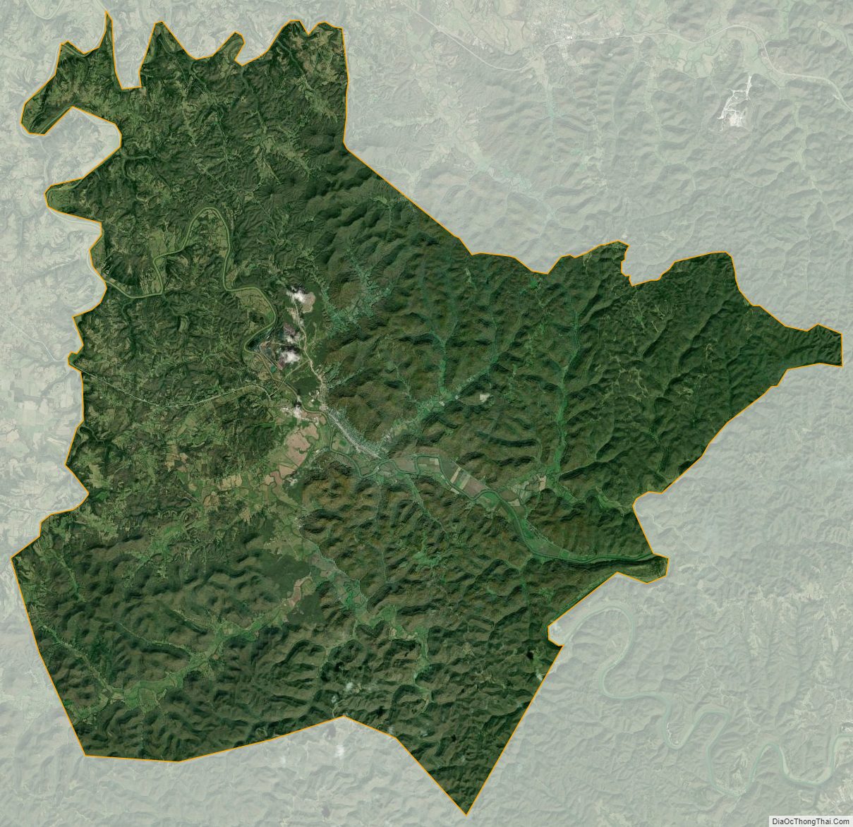
Estill County Satellite Map
Estill County Outline Map