Lee County is a county located in the U.S. state of Kentucky. As of the 2020 census, the population was 7,395. Its county seat is Beattyville. The county was formed in 1870 from parts of Breathitt, Estill, Owsley and Wolfe counties. The county was named for Robert E. Lee. The area of Kentucky where Lee County is located was a pro-union region of Kentucky but the legislature that created the county was controlled by former Confederates. The town of Proctor, named for the Rev. Joseph Proctor, was the first county seat. The first court was held on April 25, 1870, in the old Howerton House. The local economy at the time included coal mining, salt gathering, timber operations, and various commercial operations. It had a U.S. post office from 1843 until 1918.
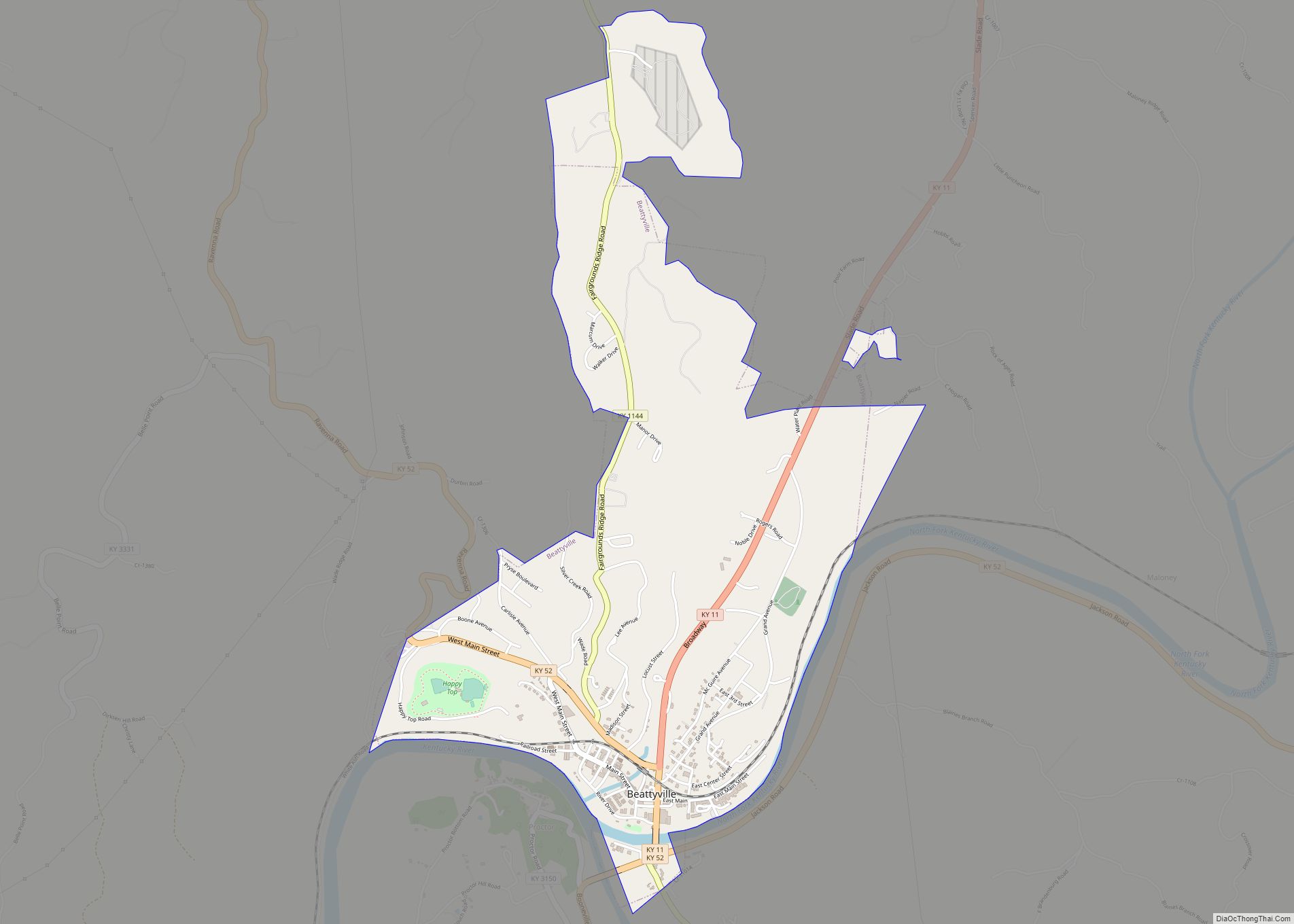
The county seat, Beattyville, was first known as Taylor’s Landing, as it was a ferry landing on the Kentucky River. It was renamed to Beatty in 1850 after early settler Samuel Beatty. The town incorporated in 1872 as Beattyville and was chosen as the new county seat due to its location on the river, which aided transportation and trade.
Although Lee County had taverns in the 19th century, it was a prohibition or dry county until 2019 when the county voted to go wet. The City of Beattyville and Lee County Fiscal Court established alcoholic sale rules for their jurisdictions including prohibiting sales of alcohol on Sunday.
| Name: | Lee County |
|---|---|
| FIPS code: | 21-129 |
| State: | Kentucky |
| Founded: | 1870 |
| Named for: | Lee County, Virginia |
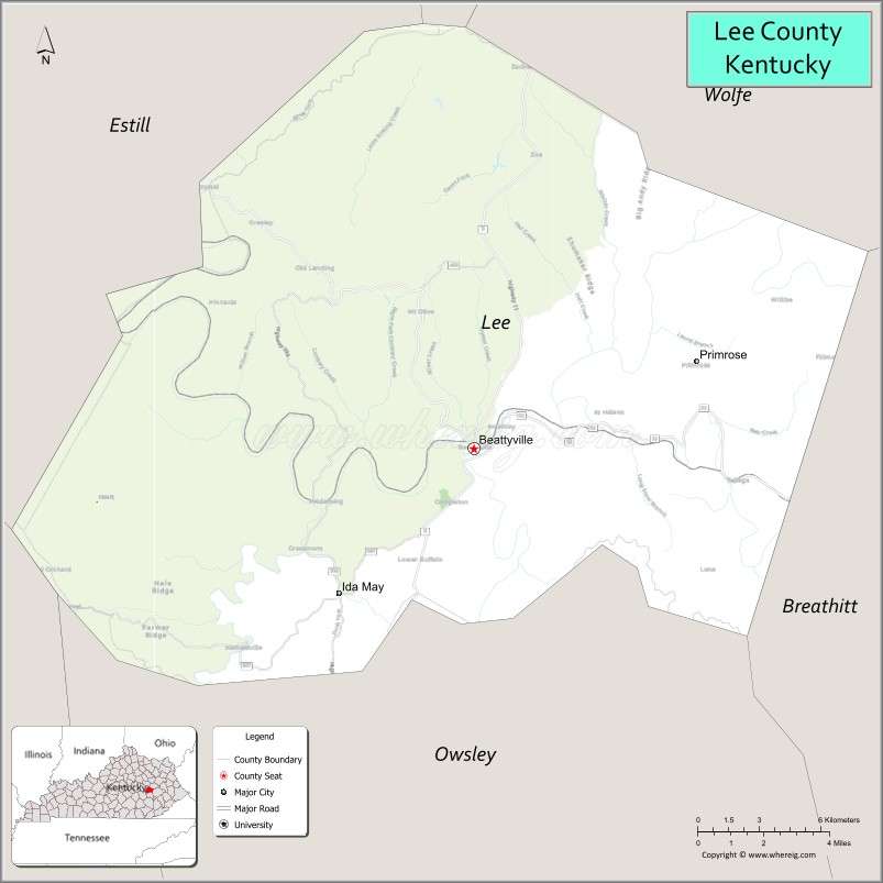
| Seat: | Beattyville |
| Largest city: | Beattyville |
| Total Area: | 211 sq mi (550 km²) |
| Land Area: | 209 sq mi (540 km²) |
| Total Population: | 7,395 |
| Population Density: | 35/sq mi (14/km²) |
| Time zone: | UTC−5 (Eastern) |
| Summer Time Zone (DST): | UTC−4 (EDT) |
| Website: | www.leecounty.ky.gov |
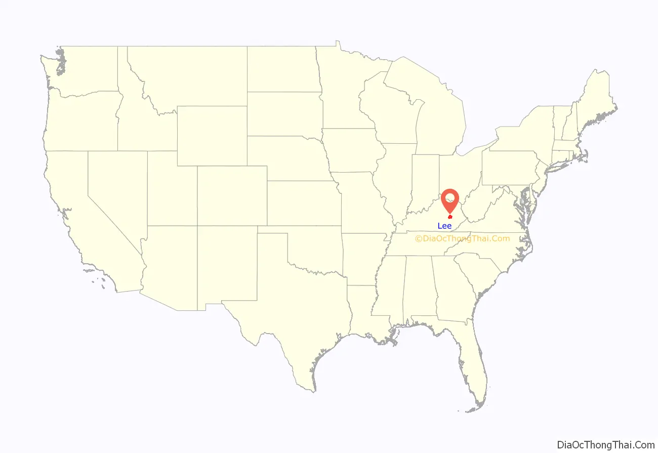
Lee County location map. Where is Lee County?
Lee County Road Map
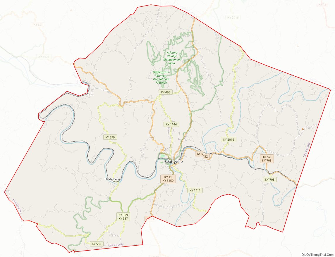
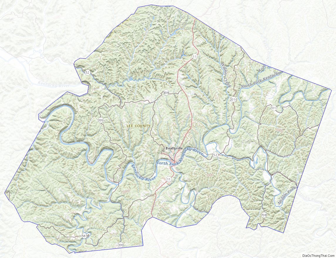
Geography
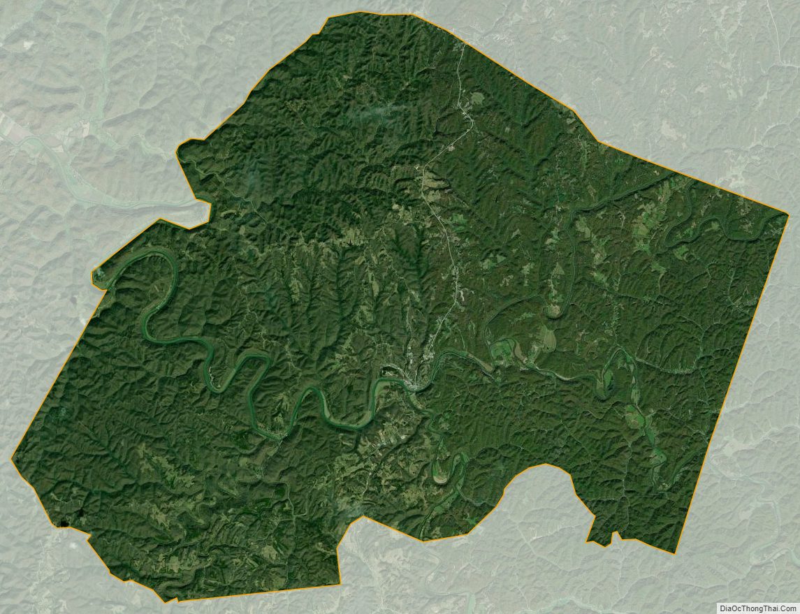
According to the U.S. Census Bureau, the county has a total area of 211 square miles (550 km), of which 209 square miles (540 km) is land and 2.4 square miles (6.2 km) (1.1%) is water.
Eastern Kentucky Coal Field
Lee County lies within the Eastern Coal Field region of Kentucky. The very rugged terrain essentially defines the area. Roughly half of the county lies within the Daniel Boone National Forest. Timber and coal remain economically significant, as do oil and gas. Harmful effects from unregulated strip mining and clear cut logging practices are still being corrected. The proliferation of kudzu, an invasive vine that migrated from the South, has proved difficult to address. However, the growing environmental movement and the developing tourism industry have created energy to take more action to control this pest.
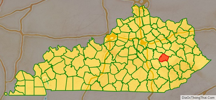
Adjacent counties
- Powell County (north)
- Wolfe County (northeast)
- Breathitt County (southeast)
- Owsley County (south)
- Jackson County (southwest)
- Estill County (northwest)
National protected area
- Daniel Boone National Forest (part)
Lee County Topographic Map
Lee County Satellite Map
Lee County Outline Map