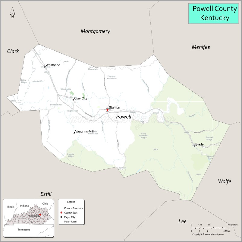
Powell County is a county located in the U.S. Commonwealth of Kentucky. As of the 2020 census, the population was 13,129. Its county seat is Stanton. The county was formed January 7, 1852, by Kentucky Governor Lazarus W. Powell from parts of Clark, Estill, and Montgomery counties. It is no longer a dry county as of 2018. Powell County is home to Natural Bridge State Resort Park and the Red River Gorge Geologic Area, two of Kentucky’s most important natural areas and ecotourism destinations, as well as the Pilot Knob State Nature Preserve.
| Name: | Powell County |
|---|---|
| FIPS code: | 21-197 |
| State: | Kentucky |
| Founded: | 1852 |
| Named for: | Lazarus W. Powell |
| Seat: | Stanton |
| Total Area: | 180 sq mi (500 km²) |
| Land Area: | 179 sq mi (460 km²) |
| Total Population: | 13,129 |
| Population Density: | 73/sq mi (28/km²) |
| Time zone: | UTC−5 (Eastern) |
| Summer Time Zone (DST): | UTC−4 (EDT) |
| Website: | powellcountyky.us |
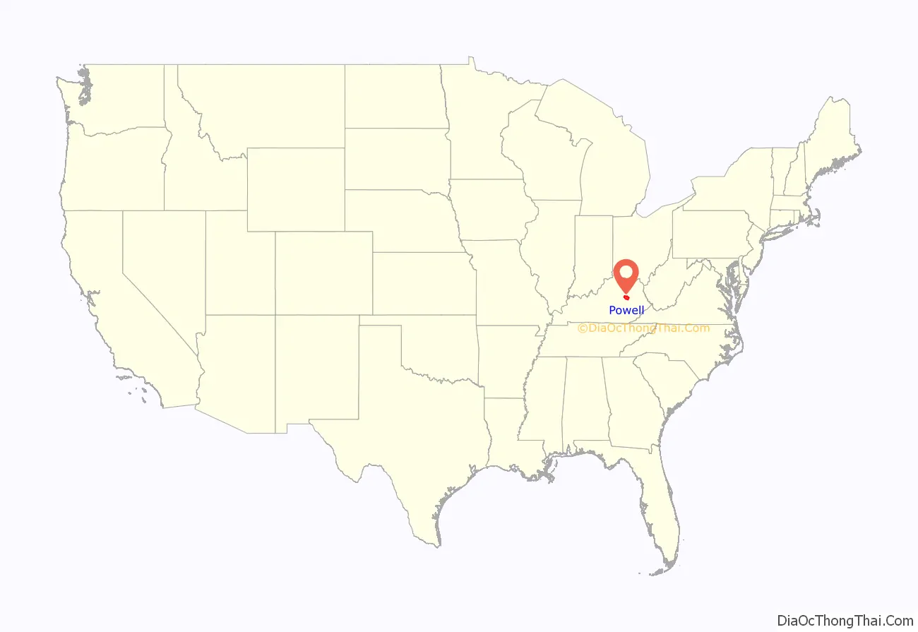
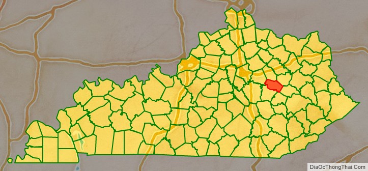
Powell County location map. Where is Powell County?
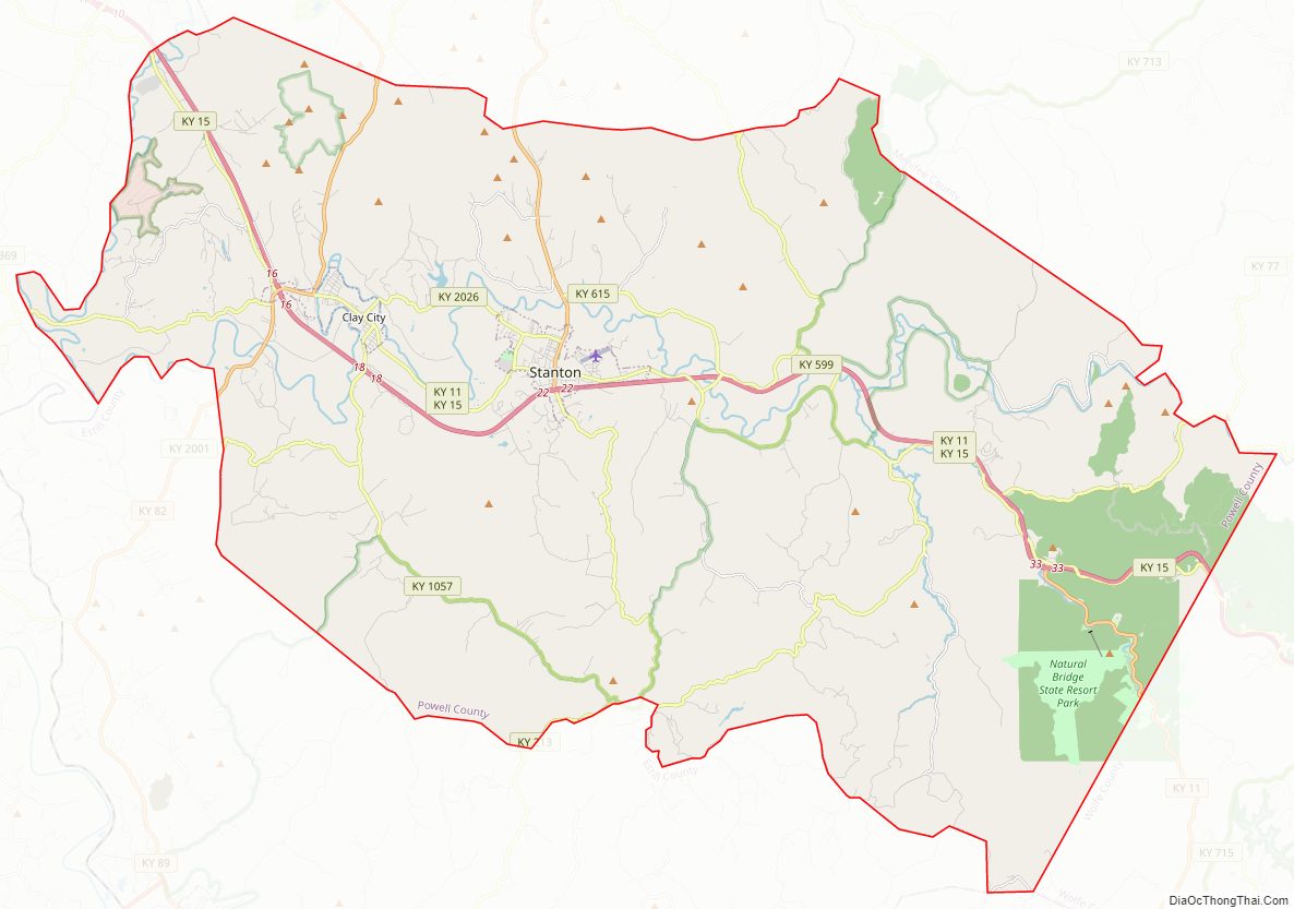
Powell County Road Map
Geography
According to the U.S. Census Bureau, the county has a total area of 180 square miles (470 km), of which 179 square miles (460 km) is land and 1.1 square miles (2.8 km) (0.6%) is water.
Adjacent counties
- Montgomery County (north)
- Menifee County (northeast)
- Wolfe County (southeast)
- Lee County (south)
- Estill County (southwest)
- Clark County (northwest)
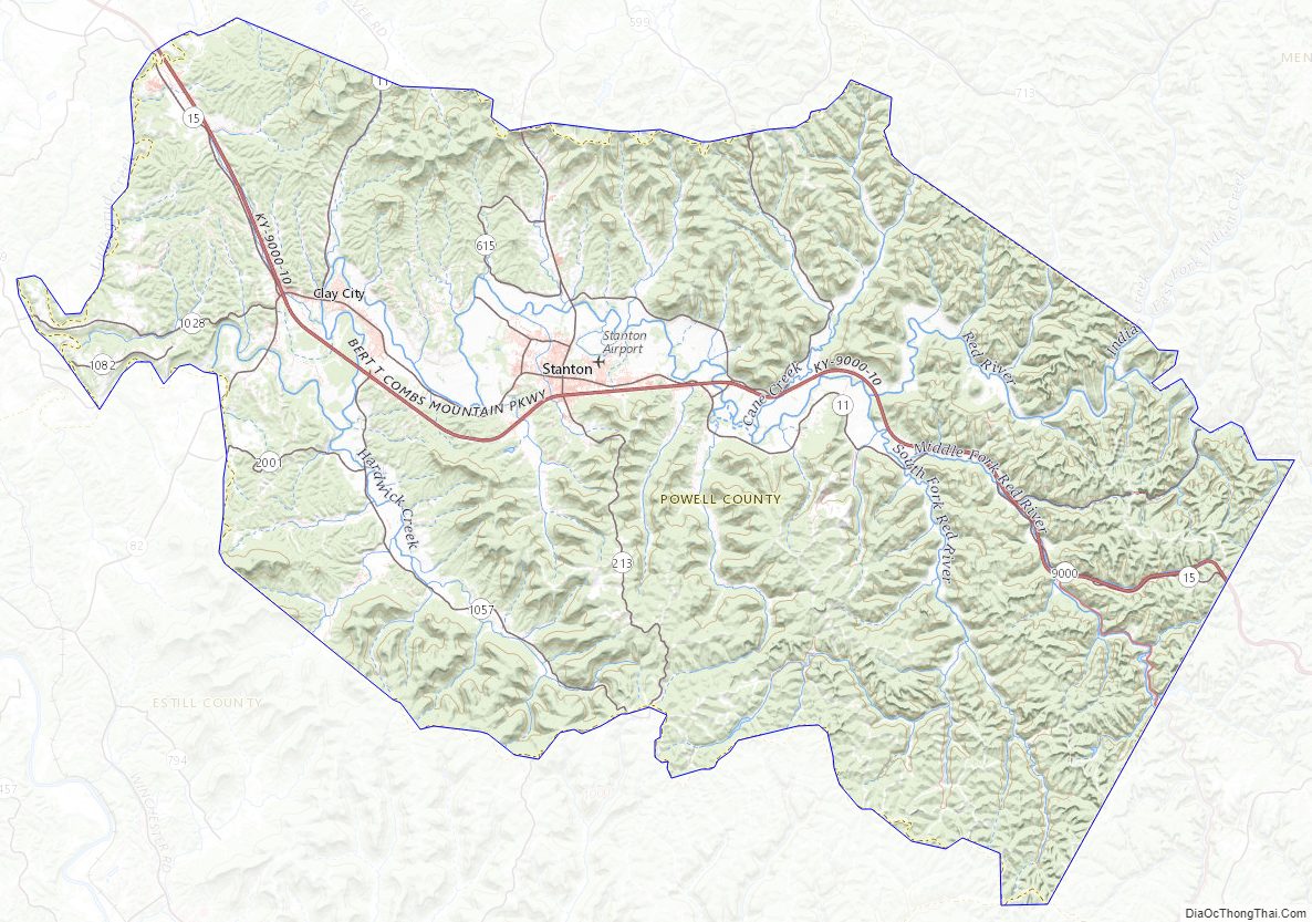
National protected area
- Daniel Boone National Forest (part)
Powell County Topographic Map
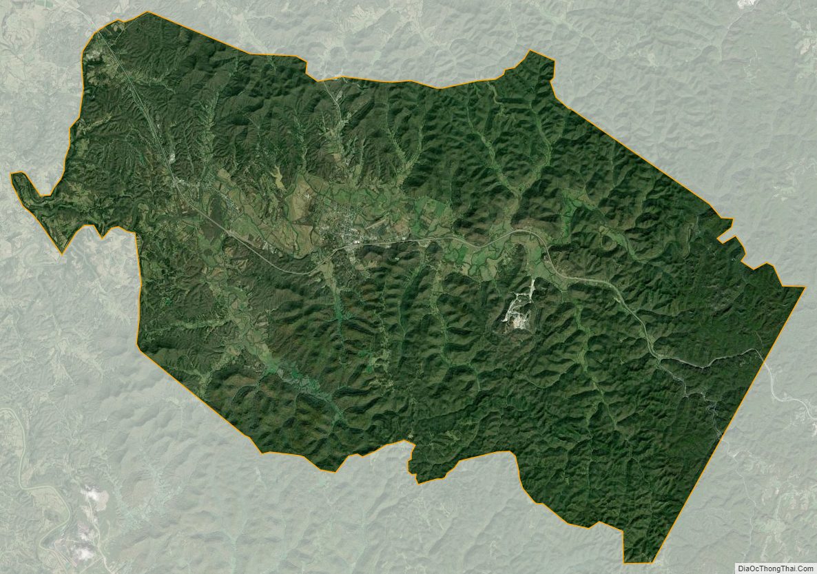
Powell County Satellite Map
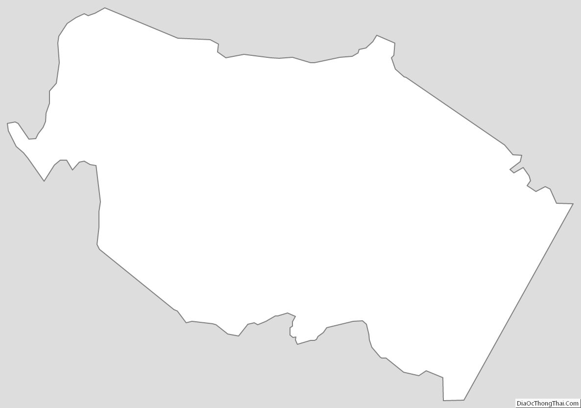
Powell County Outline Map