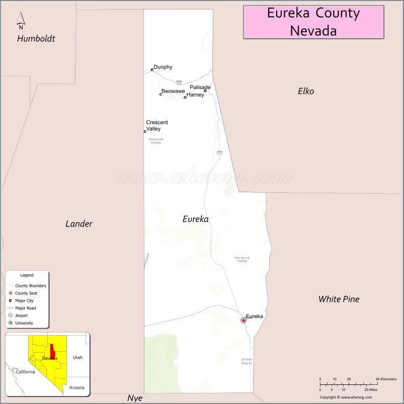
Eureka County is a county in the U.S. state of Nevada. As of the 2020 census, the population was 1,855, making it the second-least populous county in Nevada. Its county seat is Eureka.
Eureka County is part of the Elko Micropolitan Statistical Area.
| Name: | Eureka County |
|---|---|
| FIPS code: | 32-011 |
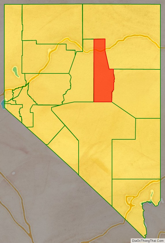
| State: | Nevada |
| Founded: | 1873 |
| Named for: | Eureka |
| Seat: | Eureka |
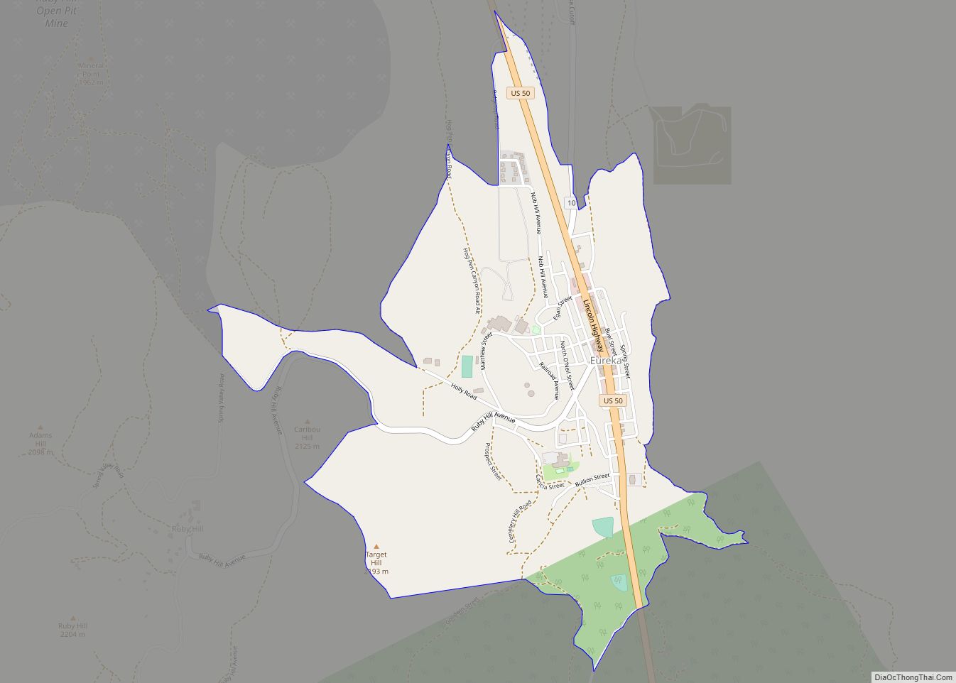
| Largest city: | Eureka |
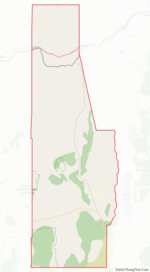
| Total Area: | 4,180 sq mi (10,800 km²) |
| Land Area: | 4,176 sq mi (10,820 km²) |
| Total Population: | 1,855 |
| Population Density: | 0.44/sq mi (0.17/km²) |
| Time zone: | UTC−8 (Pacific) |
| Summer Time Zone (DST): | UTC−7 (PDT) |
| Website: | co.eureka.nv.us |
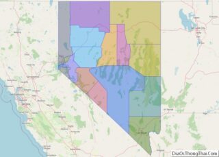
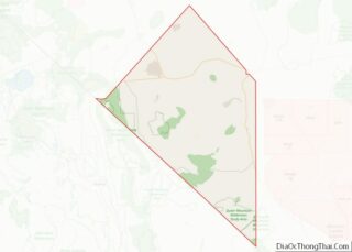
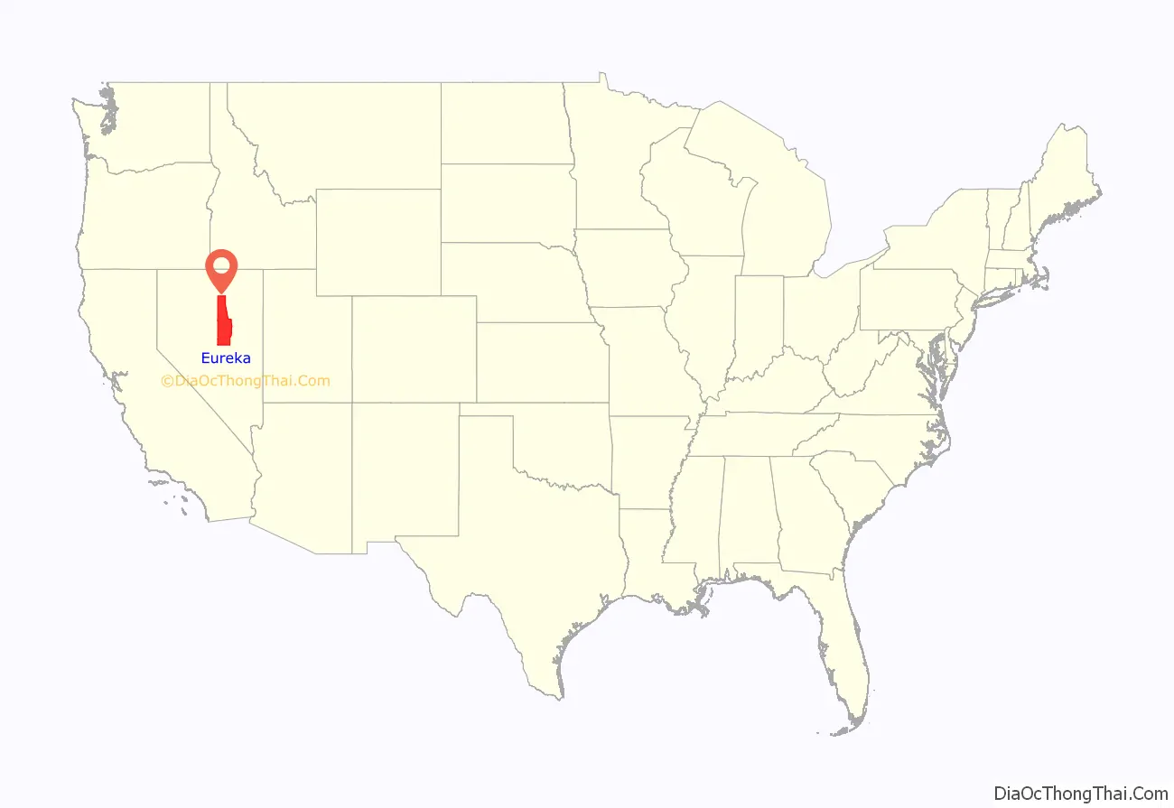
Eureka County location map. Where is Eureka County?
History
Eureka County was established in 1873 and formed from Lander County after silver was discovered more than 100 miles (160 km) east of Austin. The new mining camp’s residents complained Austin was too far to go for county business and a new county was created. It was named for the ancient Greek term, Eureka, meaning, “I have found it.” This term was used earlier in California and other locations. Eureka has always been the county seat.
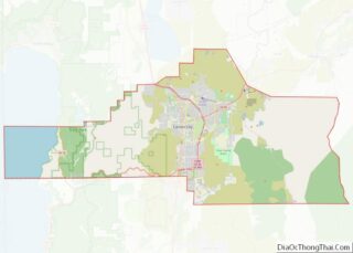
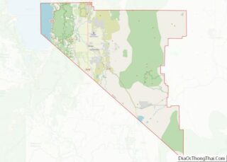
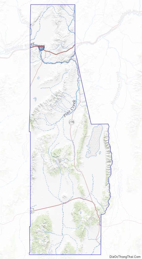
Eureka County Road Map
Geography
According to the U.S. Census Bureau, the county has an area of 4,180 square miles (10,800 km), of which 4,176 square miles (10,820 km) is land and 4.3 square miles (11 km) (0.1%) is water.
The county’s highest point is the 10,631 ft (3240 m) summit of Diamond Peak in the Diamond Mountains along the border with White Pine County.
Adjacent counties
- Elko County – northeast
- White Pine County – east
- Nye County – south
- Lander County – west
National protected area
- Humboldt-Toiyabe National Forest (part)
Major highways
- Interstate 80
- U.S. Route 50
- State Route 278
- State Route 306
- State Route 766
- State Route 781
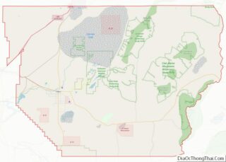
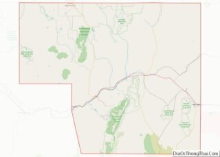
Eureka County Topographic Map
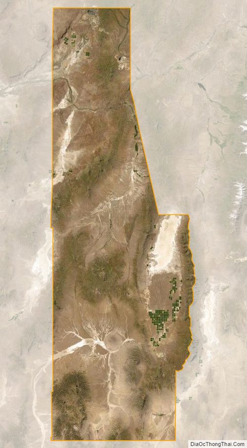
Eureka County Satellite Map
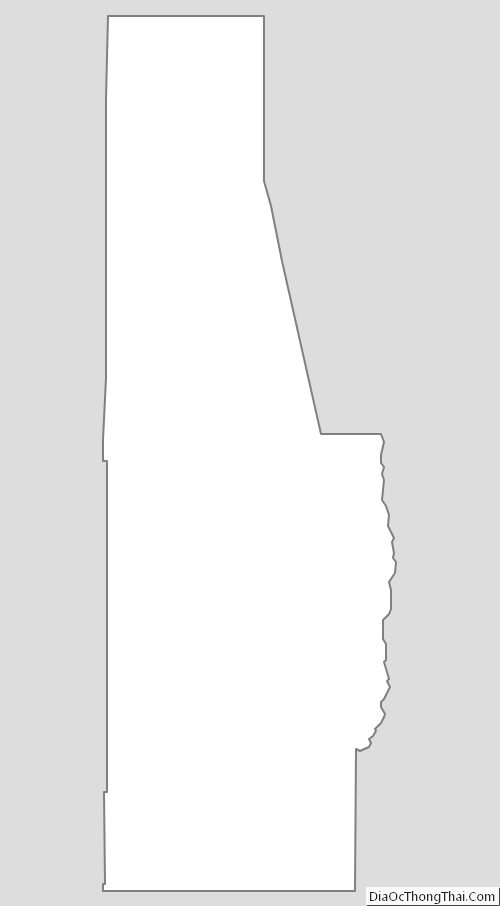
Eureka County Outline Map