| Name: | Nye County |
|---|---|
| FIPS code: | 32-023 |
| State: | Nevada |
| Founded: | 1864 |
| Named for: | James W. Nye |
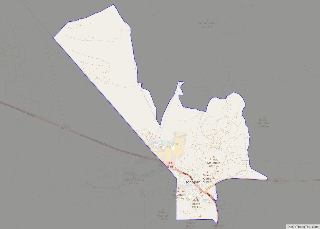
| Seat: | Tonopah |
| Total Area: | 18,199 sq mi (47,140 km²) |
| Land Area: | 18,182 sq mi (47,090 km²) |
| Total Population: | 51,591 |
| Population Density: | 2.8/sq mi (1.1/km²) |
| Time zone: | UTC−8 (Pacific) |
| Summer Time Zone (DST): | UTC−7 (PDT) |
| Website: | nyecounty.net |
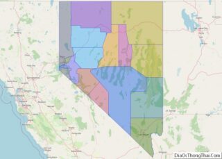
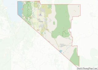
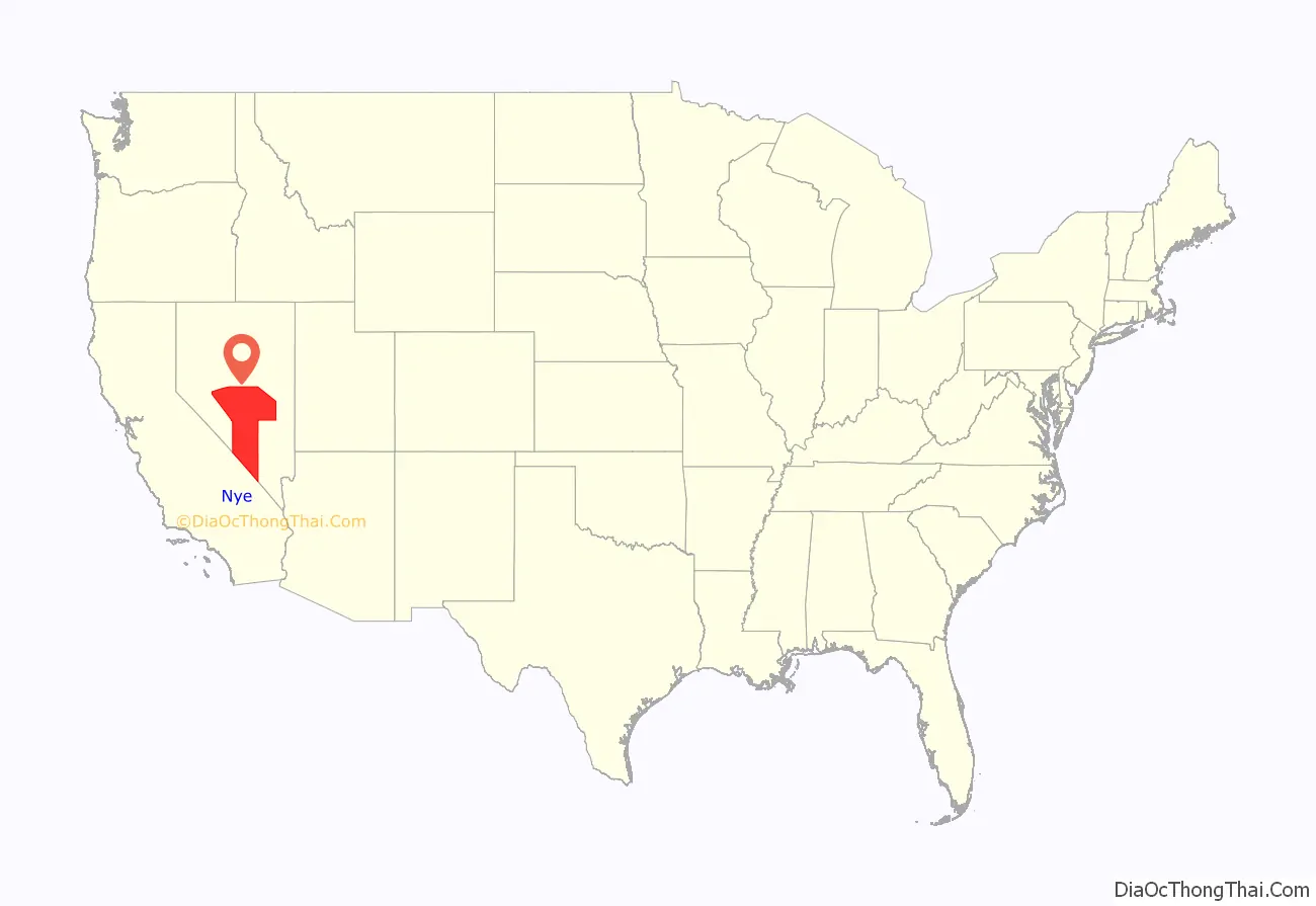
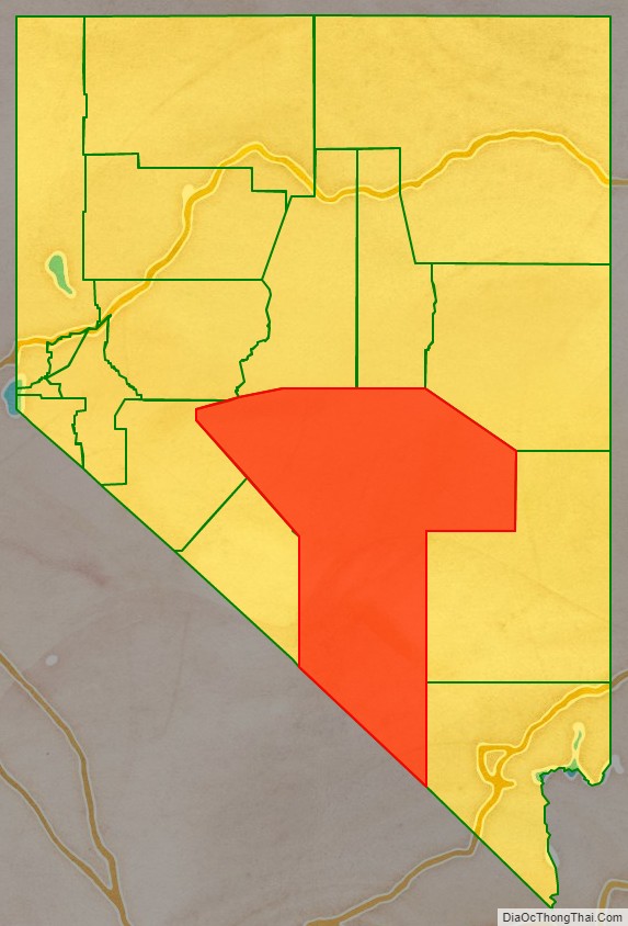
Nye County location map. Where is Nye County?
History
Nye County was established during the American Civil War in 1864 and named after James W. Nye, the first governor of the Nevada Territory and later a U.S. Senator after it was admitted as a state. The first county seat was Ione in 1864, followed by Belmont in 1867, and finally Tonopah in 1905.
The county’s first boom came in the early 20th century, when Rhyolite and Tonopah, as well as Goldfield in nearby Esmeralda County, had gold- and silver-mining booms. In 1906, Goldfield had 30,000 residents, Tonopah nearly 10,000, and Rhyolite peaked at about 10,000. These cities were linked by the Tonopah and Tidewater Railroad.
After the boom died, Nye County withered. By 1910, the population had plummeted to about 7,500 before sinking to near 3,000 in the middle of the century. With development at the military test site and increasing employment and resources, the population stabilized. After the 1990s, when Pahrump became a bedroom community for Las Vegas, it had high rates of population growth.
Periodically, discussions have arisen of moving the county seat to Pahrump, or splitting off the southern portion of the county, but neither of these ideas appears to have sufficient support in the county or state government.
From 1987 to 1989, Bullfrog County, Nevada, was split off from Nye County to form a separate political region. Its population was zero; its creation was an attempt to stop a nuclear waste storage facility from being built in the region.
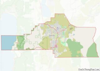
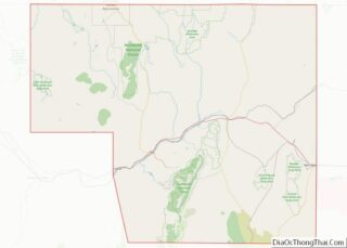
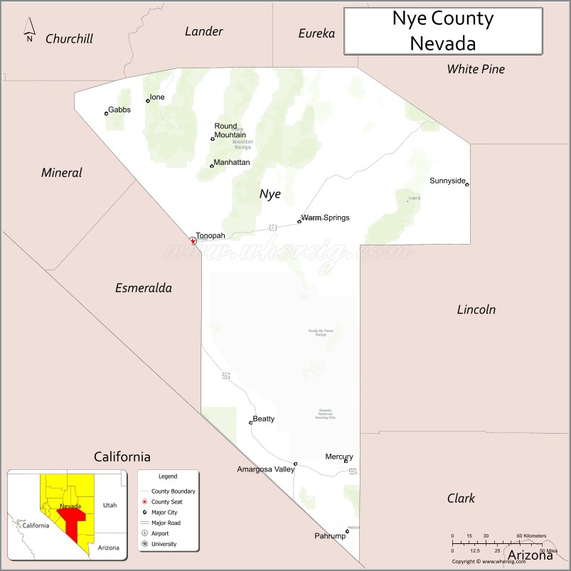
Nye County Road Map
Geography
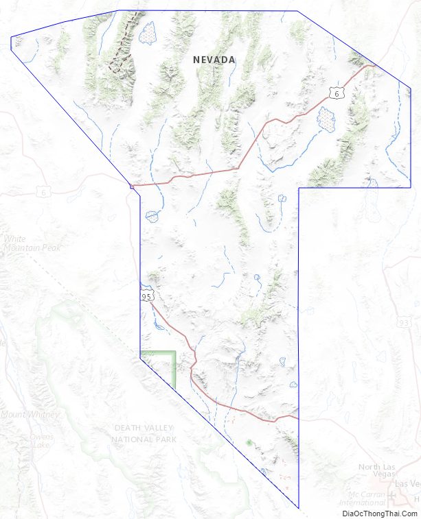
According to the U.S. Census Bureau, the county has an area of 18,199 square miles (47,140 km), of which 18,182 square miles (47,090 km) is land and 17 square miles (44 km) (0.09%) is water. The highest and most topographically prominent mountain in the county is Mount Jefferson at 11,949 feet (3,642 m).
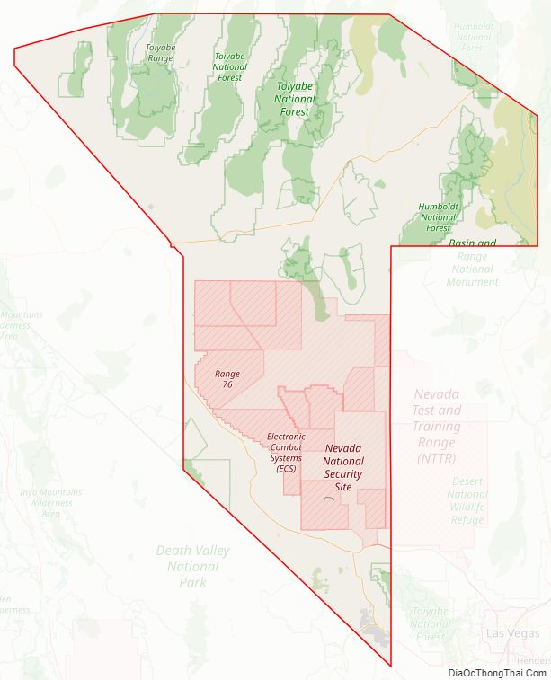
Nye County is in south-central Nevada. It is Nevada’s largest county and the third-largest county in the contiguous United States, after San Bernardino County in California and Coconino County in Arizona. Nye County’s land area of 11,560,960 acres (46,785.5 km) is larger than that of Maryland, Hawaii, Vermont, and New Hampshire, and larger than the combined area of Massachusetts, Rhode Island, New Jersey, and Delaware. Of this vast land area, only 822,711 acres (3,329.39 km), or just over 7%, is private land; most of it is public land managed by the federal government. Before the Treaty of Ruby Valley, the whole area was controlled by the Western Shoshone people, who say they never ceded territory here. According to the United States Census Bureau the county’s Census Tract 9805, with a land area of 4,225.415 square miles (10,943.77 km), comprising the Nevada Test Site and Nye County’s portion of the Nevada Test and Training Range, is the country’s largest census tract that has no resident population (as of the 2000 census).
Las Vegas, in Clark County, is 100 miles (160 km) southeast of Yucca Mountain. Many Pahrump residents commute 60 miles (97 km) each way to Las Vegas via Nevada State Route 160, which for much of its length is a four-lane divided highway.
Major highways
Nye County has a long stretch of U.S. Route 95, the main road connecting Las Vegas with the state capital, Carson City. Beatty and Tonopah both rely heavily on through traffic to sustain their economies. As of 2006, an average of 2,000 cars daily traveled U.S. 95 near Tonopah.
- Interstate 11 (Future)
- U.S. Route 6
- U.S. Route 95
- State Route 160
- State Route 267
- State Route 318
- State Route 361
- State Route 372
- State Route 373
- State Route 374
- State Route 375
- State Route 376
- State Route 377
- State Route 379
- State Route 844
Adjacent counties
- Churchill County – northwest
- Lander County – north
- Eureka County – north
- White Pine County – northeast
- Lincoln County – east
- Clark County – east
- Esmeralda County – west
- Mineral County – west
- Inyo County, California – south
National protected areas
- Ash Meadows National Wildlife Refuge
- Death Valley National Park (part)
- Humboldt-Toiyabe National Forest (part)
- Spring Mountains National Recreation Area (part)
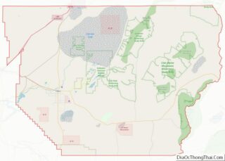
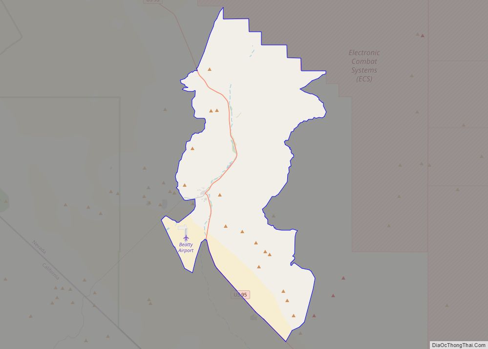
Nye County Topographic Map
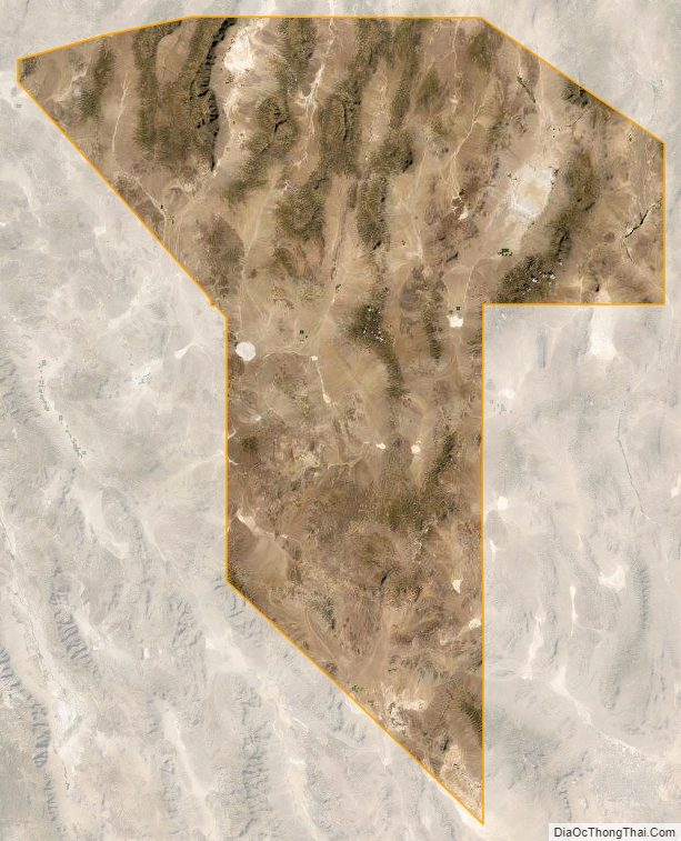
Nye County Satellite Map
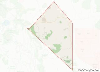
Nye County Outline Map