Eureka is an unincorporated town and census-designated places in and the county seat of Eureka County, Nevada, United States. With a population of 480 as of the 2018 American Community Survey 5-Year Estimates, it is by far the largest community in Eureka County. Attractions include the Eureka Opera House (built in 1880 and restored in 1993), Raine’s Market and Wildlife Museum (built 1887), the Jackson House Hotel (built 1877), and the Eureka Sentinel Museum (housed in the 1879 Eureka Sentinel Newspaper Building).
Eureka is part of the Elko Micropolitan Statistical Area.
| Name: | Eureka CDP |
|---|---|
| LSAD Code: | 57 |
| LSAD Description: | CDP (suffix) |
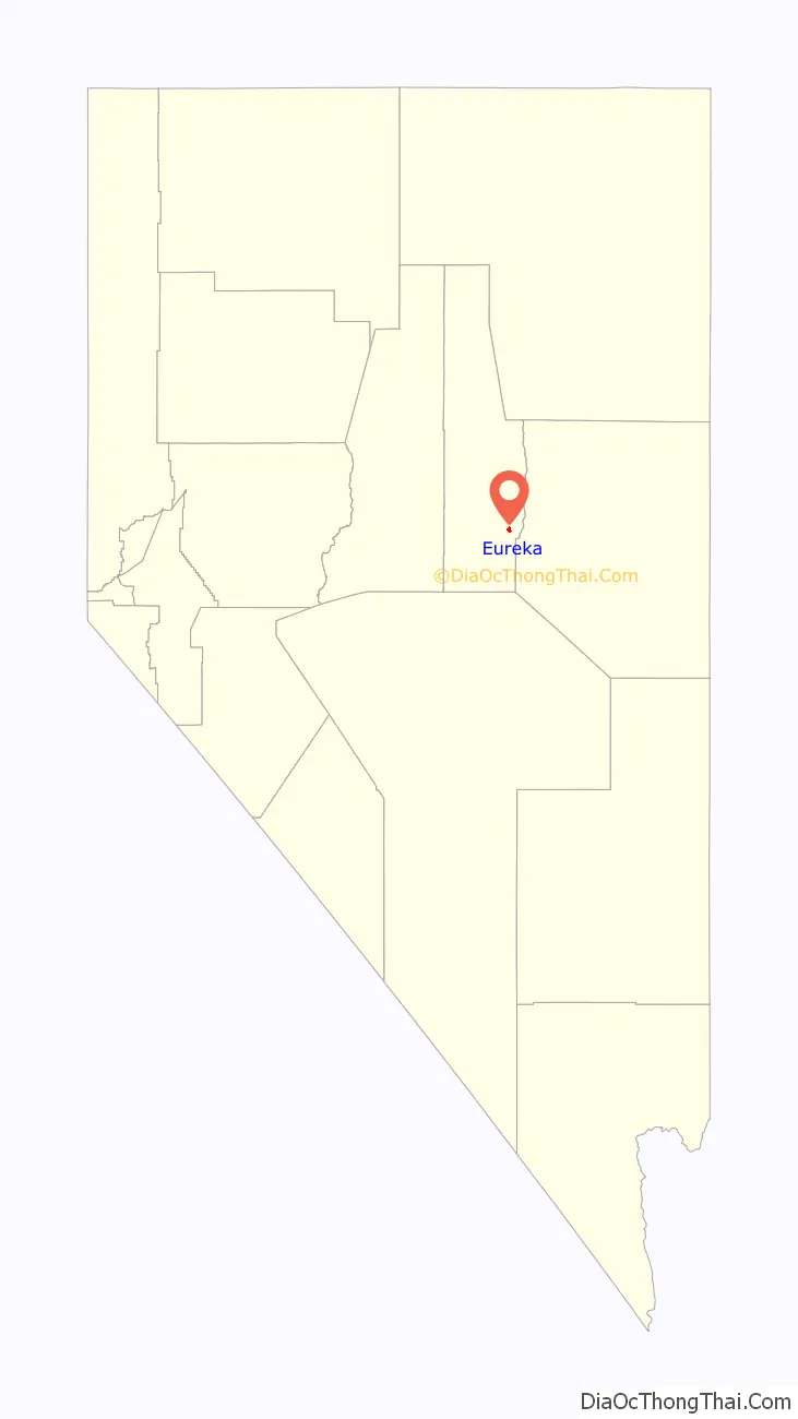
| State: | Nevada |
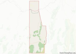
| County: | Eureka County |
| Elevation: | 6,485 ft (1,977 m) |
| Total Area: | 1.29 sq mi (3.35 km²) |
| Land Area: | 1.29 sq mi (3.35 km²) |
| Water Area: | 0.00 sq mi (0.00 km²) |
| Total Population: | 414 |
| Population Density: | 320.43/sq mi (123.71/km²) |
| ZIP code: | 89316 |
| FIPS code: | 3223900 |
| GNISfeature ID: | 840384 |
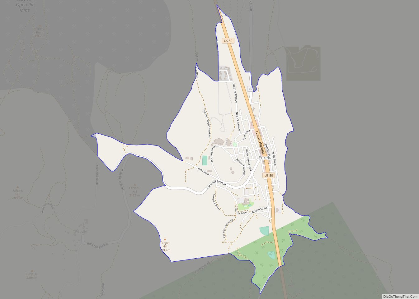
Online Interactive Map
Click on ![]() to view map in "full screen" mode.
to view map in "full screen" mode.
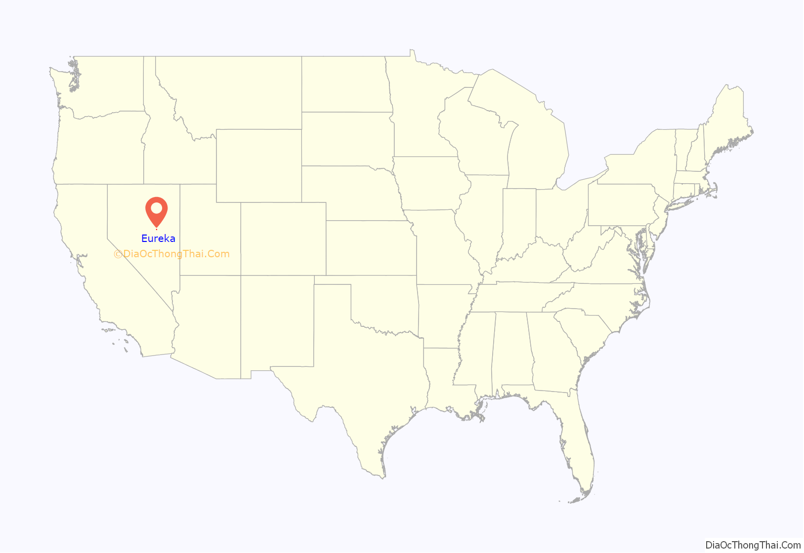
Eureka location map. Where is Eureka CDP?
History
The town was first settled in 1864 by a group of silver prospectors from nearby Austin, who discovered rock containing a silver-lead ore on nearby Prospect Peak. According to tradition, the town was named from an incident when a prospector exclaimed “Eureka!” when he discovered deposits of silver ore. The town became the county seat in 1873, when Eureka County was carved out of adjacent Lander, Elko, and White Pine counties.
Mining, especially for lead, was the town’s economic mainstay, as the nearby hillsides ranked as Nevada’s second-richest mineral producer, behind western Nevada’s Comstock Lode. Two of the largest concerns in Eureka were the Richmond Mining Company and the Eureka Mining Company. These two companies often collided, and in one instance, their litigation reached the U.S Supreme Court. The population boomed, reaching a high of 10,000 by 1878, but shrank as decreasing mine production and changing market conditions led to the closing of mines.
The town was serviced by the narrow gauge Eureka and Palisade Railroad from 1873 to 1938.
Eureka Road Map
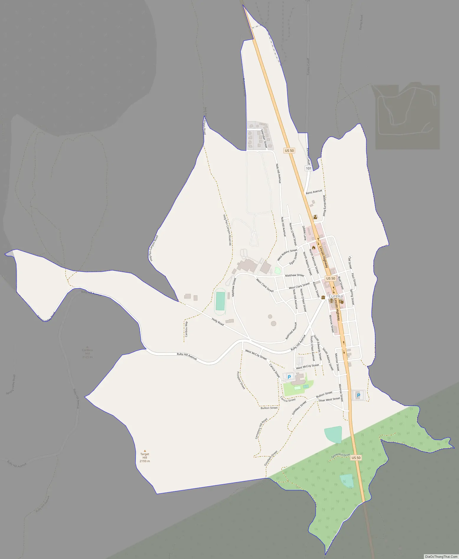
Eureka city Satellite Map

Geography
Eureka is located at 39°30′42″N 115°57′42″W / 39.51159°N 115.961723°W / 39.51159; -115.961723, in the southern part of Eureka County, at 6,481 feet (1,975 m) in the Diamond Mountains, in a draw on the southern end of Diamond Valley, between Antelope and Newark valleys. At the 2018 American Community Survey 5-Year Estimates, the population of the census-designated place of Eureka was 480, while the total population of Eureka and the surrounding area (Eureka CCD, Eureka County, Nevada) was 1,313.
The town is located along the Lincoln Highway / U.S. Route 50, nicknamed “The Loneliest Road in America”: aptly named, as the nearest towns along the highway are Austin (70 mi or 110 km west) and Ely (77 mi or 124 km east). The nearest town is Duckwater, 46 mi (74 km) south.
The climate is typical of the Great Basin: hot and dry with cool mornings in the summer with occasional monsoonal thunderstorms from late July through August; cold and relatively dry in the winter. Temperatures drop to 0 °F or −17.8 °C or lower on an average 3.2 mornings during the winter, though in the severe winter of 1916/1917 this happened twenty-five times. They drop to 32 °F or 0 °C on an average 185.5 mornings, though maximum temperatures top freezing on all but 30.8 days during an average winter. During the summer temperatures rise to 90 °F or 32.2 °C or hotter on 12.5 afternoons, though 100 °F or 37.8 °C has never been reached with the hottest temperature being 110 °F or 43.3 °C on July 22, 1904. Snow accumulations vary from 10 to 30 inches (0.25 to 0.76 m) in mild winters to in excess of 80 inches (2.03 m) in more severe years; in the winter of 1906/1907, more than 150 inches or 3.81 metres of snow fell.
The wettest calendar year has been 1941 with 23.86 inches (606.0 mm) and the driest 2020 with 4.18 inches (106.2 mm), whilst May 1917 with 5.73 inches (145.5 mm) has been the wettest single month. The snowiest month has been March 1902 with 54.0 inches or 1.37 metres of fresh snowfall.
Under the Köppen climate classification, Eureka has a warm-summer humid continental climate (Dfb).
See also
Map of Nevada State and its subdivision: Map of other states:- Alabama
- Alaska
- Arizona
- Arkansas
- California
- Colorado
- Connecticut
- Delaware
- District of Columbia
- Florida
- Georgia
- Hawaii
- Idaho
- Illinois
- Indiana
- Iowa
- Kansas
- Kentucky
- Louisiana
- Maine
- Maryland
- Massachusetts
- Michigan
- Minnesota
- Mississippi
- Missouri
- Montana
- Nebraska
- Nevada
- New Hampshire
- New Jersey
- New Mexico
- New York
- North Carolina
- North Dakota
- Ohio
- Oklahoma
- Oregon
- Pennsylvania
- Rhode Island
- South Carolina
- South Dakota
- Tennessee
- Texas
- Utah
- Vermont
- Virginia
- Washington
- West Virginia
- Wisconsin
- Wyoming