| Name: | Esmeralda County |
|---|---|
| FIPS code: | 32-009 |
| State: | Nevada |
| Founded: | November 25, 1861 |
| Named for: | Emerald |
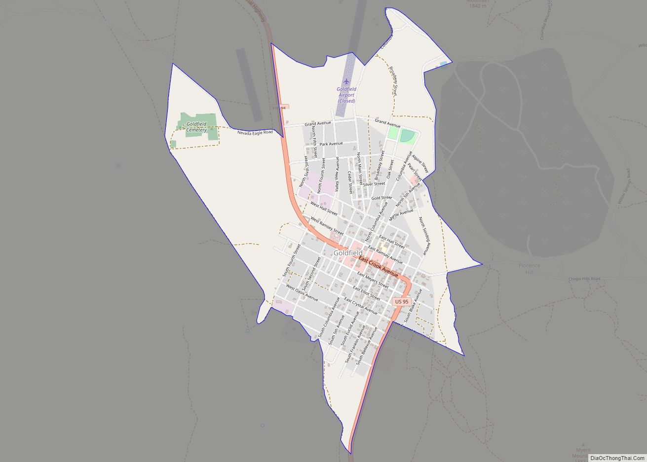
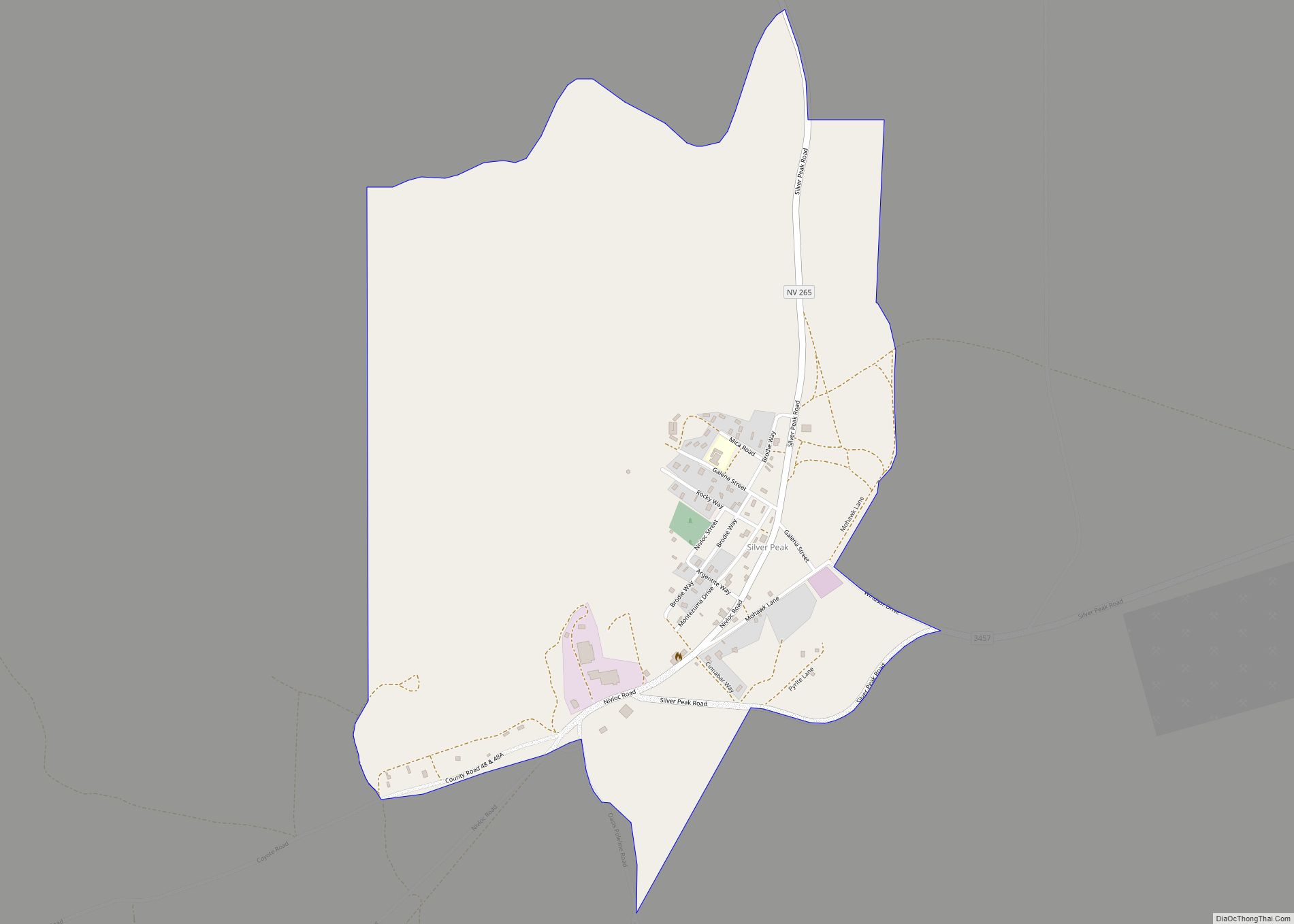
| Seat: | Goldfield |
| Total Area: | 3,589 sq mi (9,300 km²) |
| Land Area: | 3,582 sq mi (9,280 km²) |
| Total Population: | 729 |
| Population Density: | 0.20/sq mi (0.078/km²) |
| Time zone: | UTC−8 (Pacific) |
| Summer Time Zone (DST): | UTC−7 (PDT) |
| Website: | www.accessesmeralda.com |
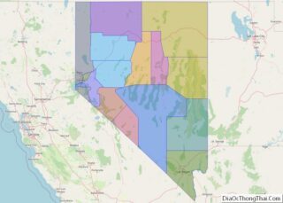
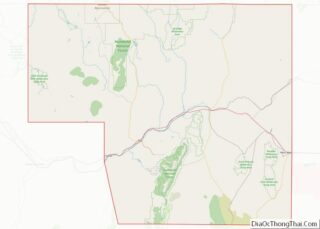
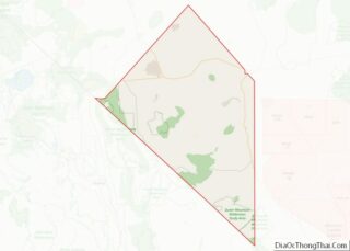
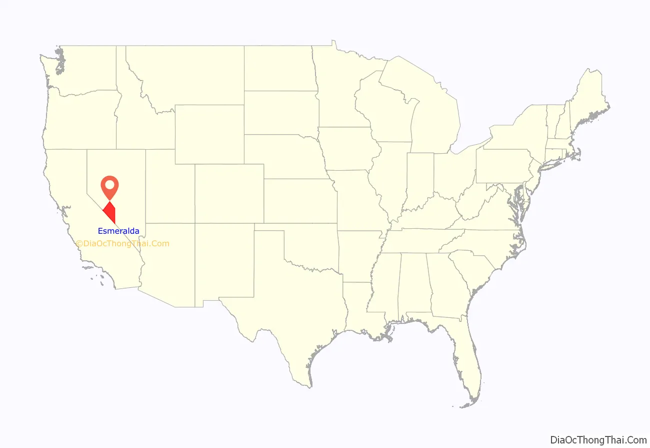
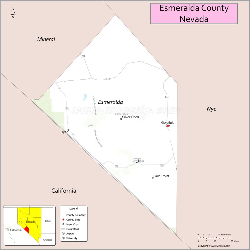
Esmeralda County location map. Where is Esmeralda County?
History
Esmeralda County is one of the original counties in Nevada, established on November 25, 1861. When it was organized, it comprised the part of the Nevada Territory south of the 39th parallel and east of Mason Valley. Esmeralda is the Spanish and Portuguese word for “emerald”. An early California miner from San Jose, James Manning Cory, named the Esmeralda Mining District after Esmeralda the Romani dancer from The Hunchback of Notre-Dame.
Just after the organization of Esmeralda County, the vast majority of the land area had yet to be seen by Euro-American society. John C. Frémont was one of the few people who had explored parts of the county. He had crossed Big Smoky Valley in 1845. Also, Aurora and its northern corridor had been encountered. In 1862 and 1863, the area along the Reese River was explored during the Reese River excitement. The event resulted in the establishment of three mining districts in the Toiyabe Range, namely Marysville, Twin River, and Washington, and the establishment of a number of settlements and ranches in Esmeralda County. Explorers pursued south and explored the Shoshone Mountains. The mining district Union was organized after silver was found in 1863 and the settlement of Ione was founded there.
The total area of Esmeralda County more than halved as Nye County was organized on February 16, 1864. That county was entirely created out of land that used to be part of Esmeralda County. Esmeralda has had three county seats: Aurora until 1883, Hawthorne from 1883 to 1907 and finally Goldfield. At one point, due to the disputed border with California, Aurora was simultaneously the county seat of both Mono County, California and Esmeralda County. Samuel Clemens (Mark Twain) wrote about his time as a miner in the Esmeralda District in his book Roughing It.
Esmeralda grew from a gold mining boom in the first years of the 20th century. The mines were largely tapped out by the end of the 1910s and the economy and population declined afterwards.
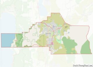
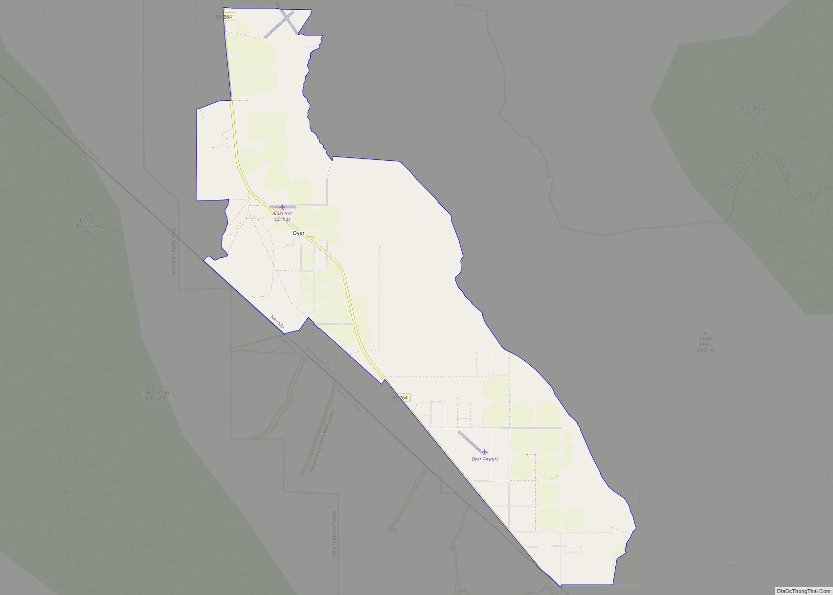
Esmeralda County Road Map
Geography
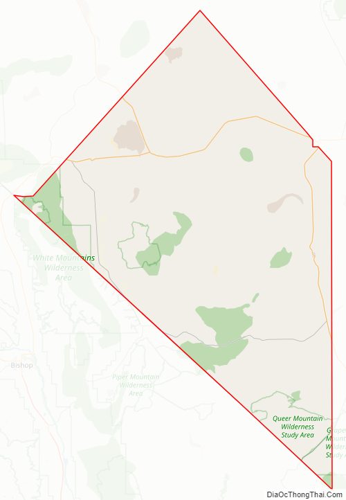
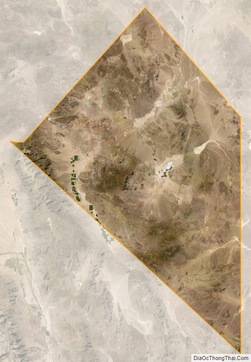
According to the U.S. Census Bureau, the county has a total area of 3,589 square miles (9,300 km), of which 3,582 square miles (9,280 km) is land and 7.2 square miles (19 km) (0.2%) is water. It is the fourth-smallest county in Nevada by area. A very small part of Death Valley National Park lies in its southeast corner.
The county is dominated by the Silver Peak and Monte Cristo mountain ranges. Mountains in the county include:
- Boundary Peak, 13,147 feet (4,007 m), the highest natural point in Nevada
- Piper Peak, 9450 feet (2,880 m), the most prominent peak in Esmeralda County
- Magruder Mountain 9044 feet (2,756 m)
- Montezuma Peak, 8373 feet (2,552 m)
- Emigrant Peak, 6790 feet (2,069 m)
Highways
- Interstate 11 (Future)
- U.S. Route 6
- U.S. Route 95
- State Route 264
- State Route 265
- State Route 266
- State Route 267
- State Route 773
- State Route 774
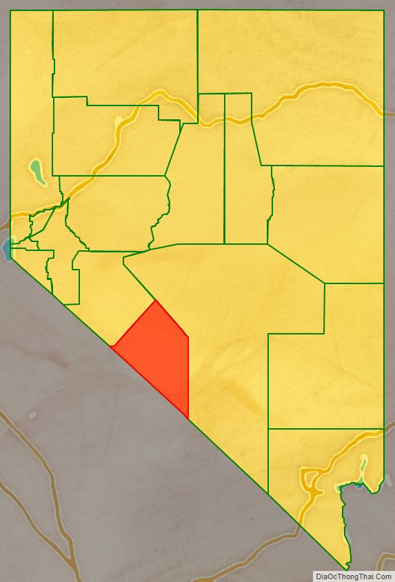
Adjacent counties
- Mineral County – northwest
- Nye County – east
- Inyo County, California – south
- Mono County, California – west
National protected areas
- Death Valley National Park (part)
- Inyo National Forest (part)
- Boundary Peak Wilderness
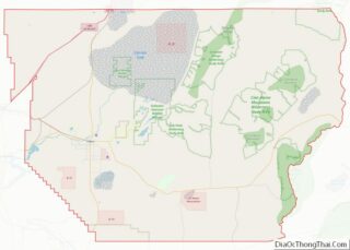
Esmeralda County Topographic Map
Esmeralda County Satellite Map
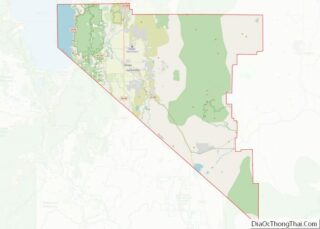
Esmeralda County Outline Map