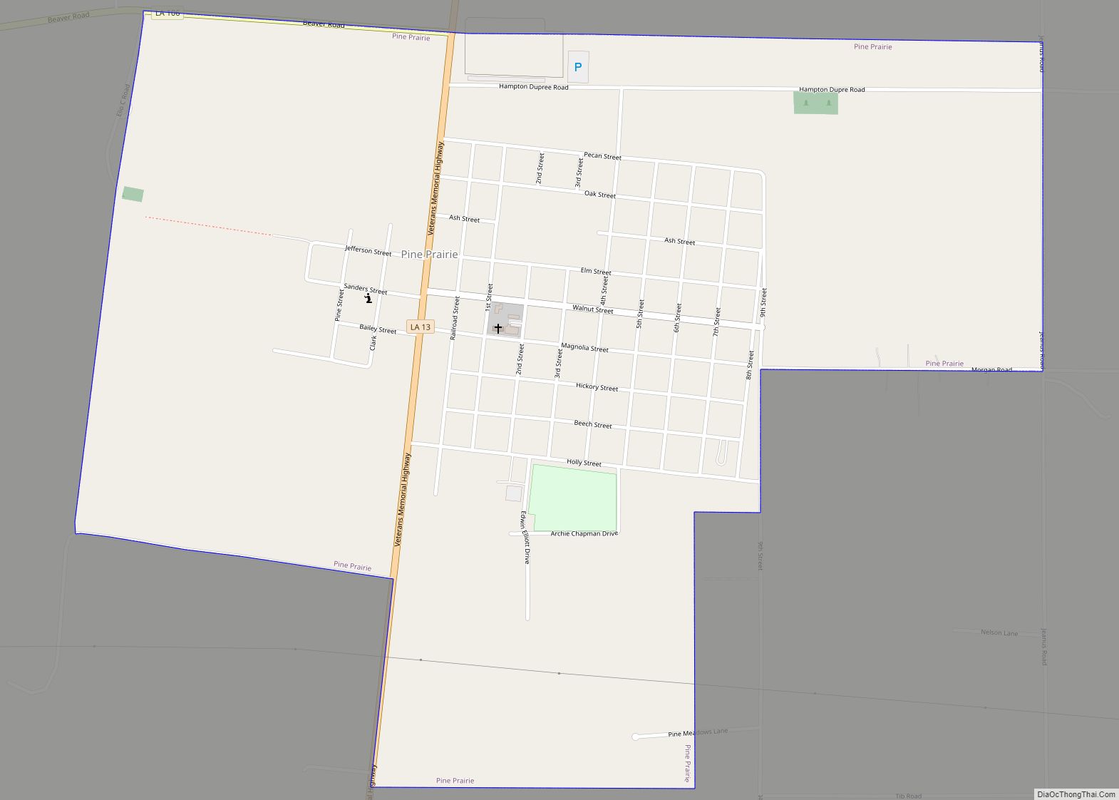
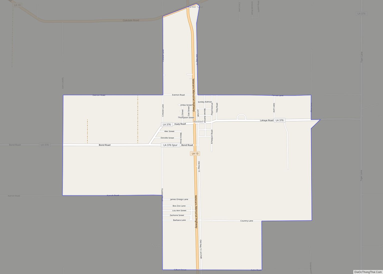
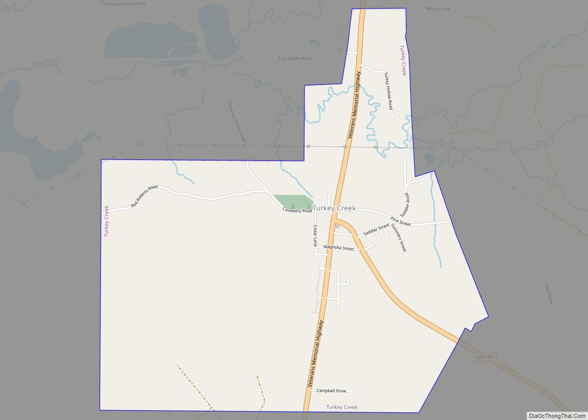
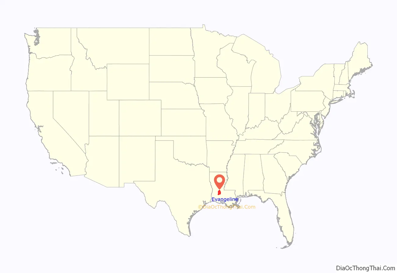
Evangeline Parish (French: Paroisse d’Évangéline) is a parish located in the U.S. state of Louisiana. As of the 2020 census, the population was 32,350. The parish seat is Ville Platte.
| Name: | Evangeline Parish |
|---|---|
| FIPS code: | 22-039 |
| State: | Louisiana |
| Founded: | 1910 |
| Named for: | Acadian heroine of the poem “Evangeline” |
| Seat: | Ville Platte |
| Largest city: | Ville Platte |
| Total Area: | 680 sq mi (1,800 km²) |
| Land Area: | 662 sq mi (1,710 km²) |
| Total Population: | 32,350 |
| Population Density: | 48/sq mi (18/km²) |
| Time zone: | UTC−6 (Central) |
| Summer Time Zone (DST): | UTC−5 (CDT) |
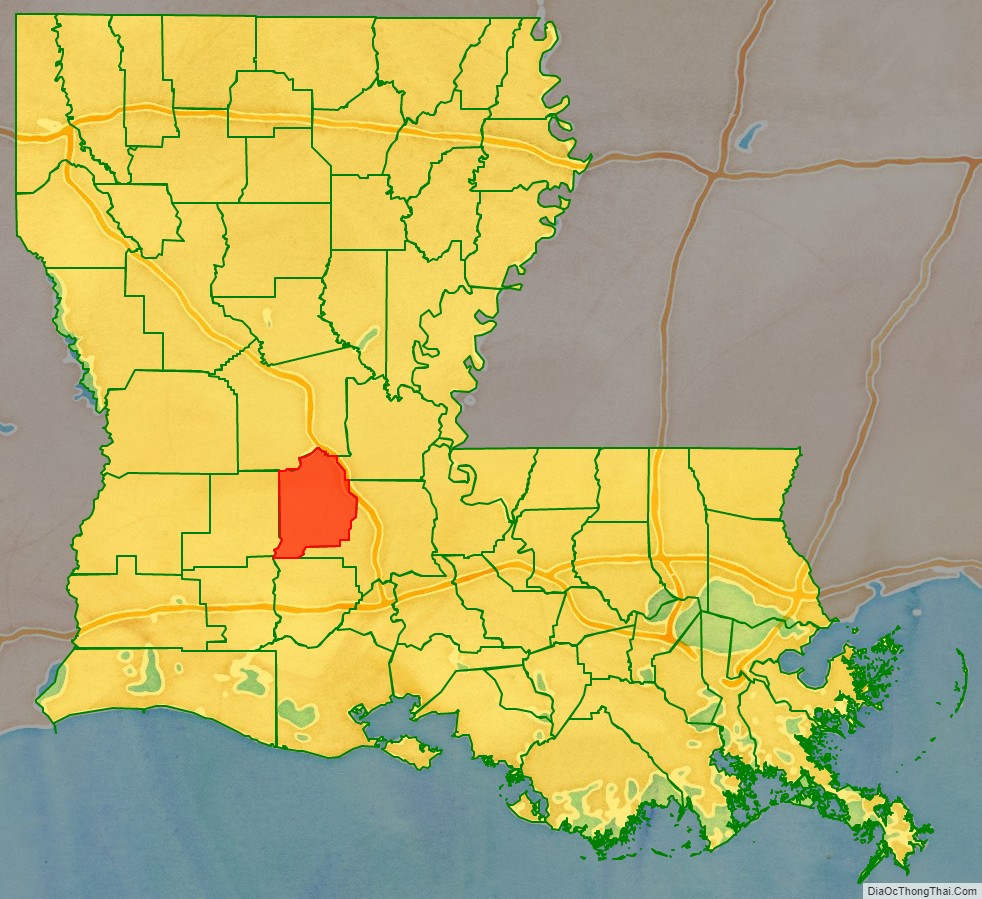
Evangeline Parish location map. Where is Evangeline Parish?
History
The parish was created out of lands formerly belonging to St. Landry Parish in 1910. The majority of the area was originally settled by French Canadian colonists and former colonial marines (coureurs de bois) from such outposts as Fort Toulouse and Fort Kaskaskia and later included 19th-century French-speaking soldiers and immigrant families.
The early generations were born in colonial French colonies, which included the enormous Louisiana territory (‘Upper and Lower’ Louisiana) known as “la Nouvelle France”, and later were born under Spanish rule.
Many people of Evangeline are primarily of French, English, and Spanish descent from Louisiana’s colonial period. Examples of the French family names are Fontenot, Brignac, Ardoin, Bordelon, Vidrine, Courville, Gaspard, LaFleur, Chataignier, Dupre, Berza, Manuel, Ratelle, Fuselier, Landreneau, Andrepont, Guillory, Soileau, LeBas, and Gobert, among others. People of Spanish Canary Islands heritage (Isleños) can be observed to have settled in the Parish as well, bringing names like Aguillard, Casaneuva, De Soto, Ortego, Rozas, and Segura. Many English Americans as colonists came from the Eastern United States to settle in the newly purchased Louisiana Territory often married into Acadian families. Some prominent English surnames include Chapman, Kershaw, Young, Reed, Langley, Tate and Buller.
A few Acadians such as François Pitre and his wife settled the area between Evangeline and St. Landry parishes, preferring the rich pre-American and pre-Civil War era Cajun planter’s lifestyle over that of the humble and isolated existence of their Acadiana cousins.
The parish was named Evangeline in honor of Henry Wadsworth Longfellow’s narrative poem, Evangeline. It was from this poem that founding father Paulin Fontenot was to propose the namesake of “Evangeline” for this parish, allegedly foreseeing an emerging American tourism centered upon the Acadian saga. (See Ville Platte Gazette, Sept. 2010) In 19th-century American literature, she would gain popularity through Hollywood’s interest, and thus began the embryonic ‘Acadian-based’ tourism which sprang up in St. Martinville. Evangeline Parish is mentioned in the Randy Newman song “Louisiana 1927”, in which he described the Great Mississippi Flood which covered it with six feet of water.
Ville Platte, Louisiana, the seat of Evangeline Parish, was itself so named by one of Napoleon Bonaparte’s former soldiers, Adjutant Major Marcellin Garand (1781-1852), of Savoy, France. (See Napoleon’s Soldiers In America, by Simone de la Souchere-Delery, 1999).
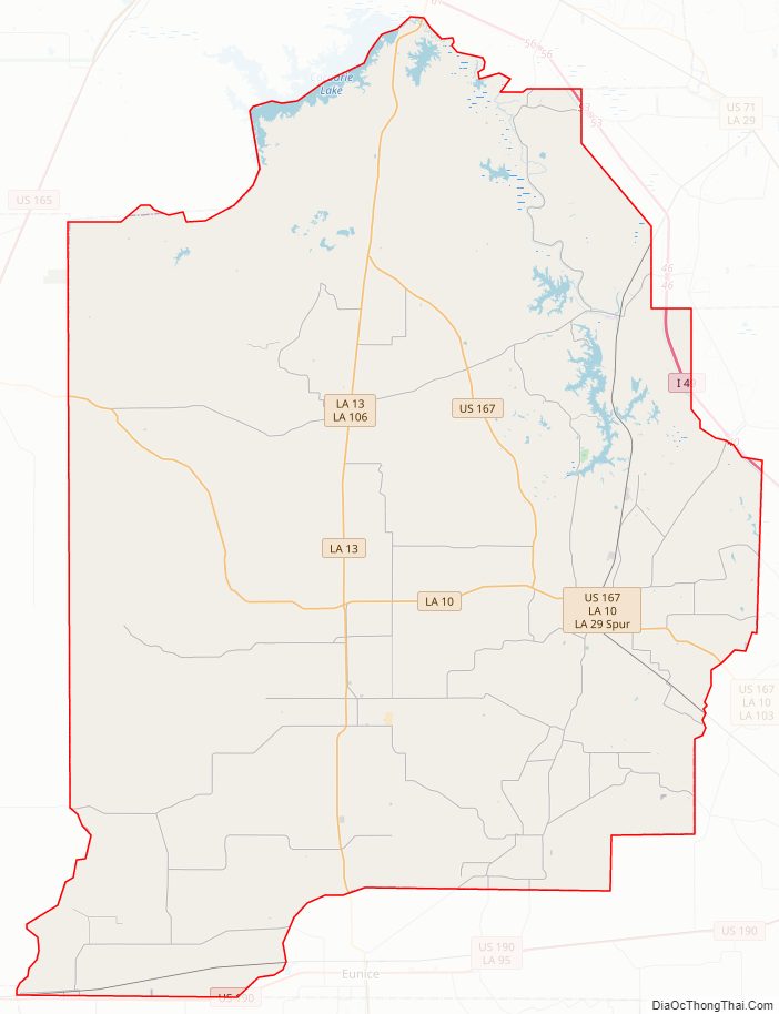
Evangeline Parish Road Map
Geography
According to the U.S. Census Bureau, the parish has a total area of 680 square miles (1,800 km), of which 662 square miles (1,710 km) is land and 17 square miles (44 km) (2.5%) is water.
Major highways
- Interstate 49
- U.S. Highway 190
- U.S. Highway 167
- Louisiana Highway 10
- Louisiana Highway 13
- Louisiana Highway 29
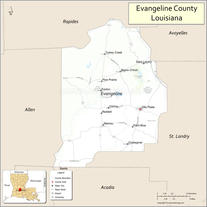
Adjacent parishes
- Rapides Parish (north)
- Avoyelles Parish (northeast)
- St. Landry Parish (east)
- Acadia Parish (south)
- Allen Parish (west)
National protected area
- Lacassine National Wildlife Refuge (part)
State parks
- Chicot State Park
- Louisiana State Arboretum
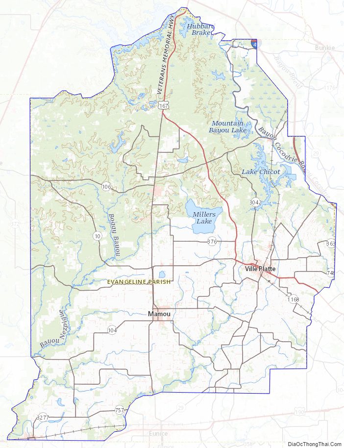
Evangeline Parish Topographic Map
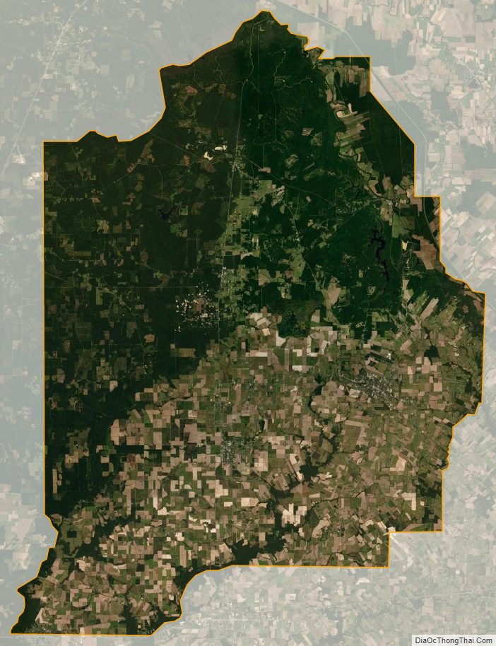
Evangeline Parish Satellite Map
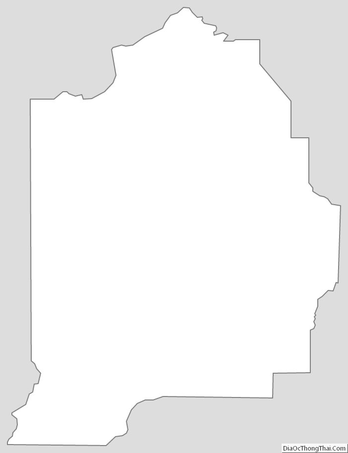
Evangeline Parish Outline Map