| Name: | Rapides Parish |
|---|---|
| FIPS code: | 22-079 |
| State: | Louisiana |
| Founded: | 1807 |
| Named for: | The local river rapids |
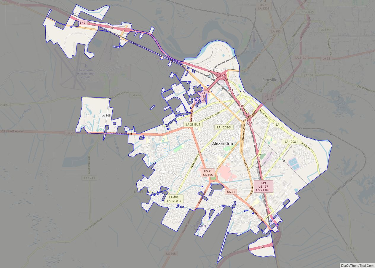
| Seat: | Alexandria |
| Total Area: | 3,530 km² (1,362 sq mi) |
| Land Area: | 3,410 km² (1,318 sq mi) |
| Total Population: | 130,023 |
| Population Density: | 37/km² (95/sq mi) |
| Time zone: | UTC-6 (CST) |
| Summer Time Zone (DST): | UTC-5 (CDT) |
| Website: | Rapides Parish Police Jury |
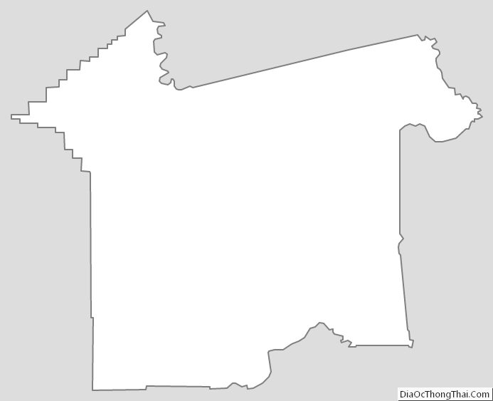
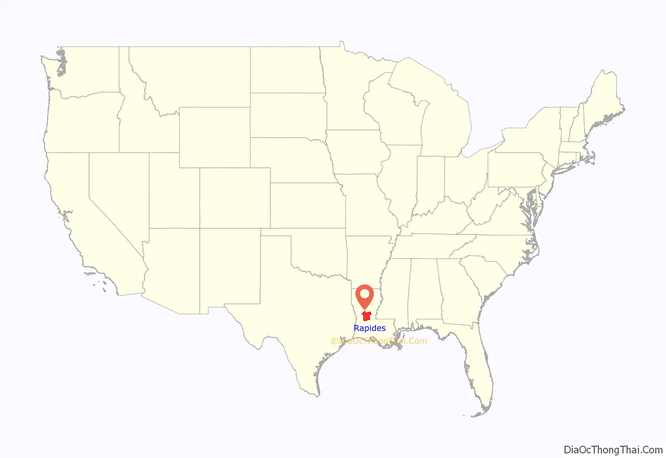
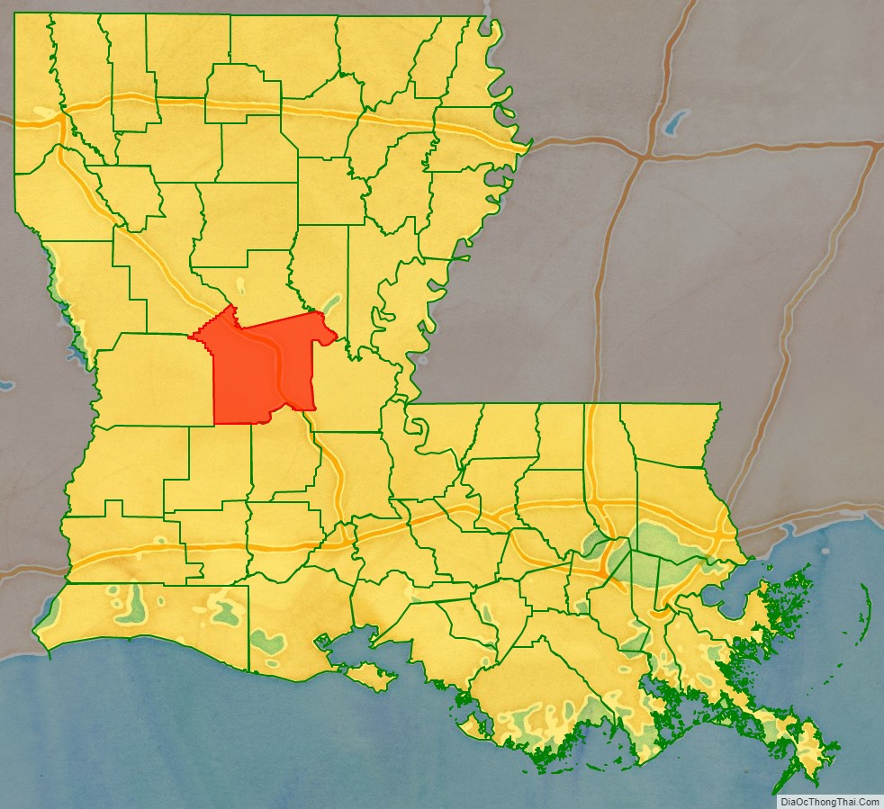
Rapides Parish location map. Where is Rapides Parish?
History
In 1763, the land that is now Rapides Parish became the new home of the Apalachee tribe, who were settled there with the permission of Governor Kerlerec. Some Native Americans had come after fleeing the British and their Creek Indian allies from what is now Leon County, Florida. Many of their descendants remain in Natchitoches Parish.
The first French settler was Vincent Porei, who was granted a small tract of land in July 1764 by the Civil and Military Commander of Natchitoches. Nicolas Etienne Marafret Layssard arrived in December 1766, with the permission of Aubrey and Foucault, to establish a “tar works” in the pineries of Rapides, for naval stores. He was later appointed the first Civil Commander of Rapides Parish. During the 1760s, the area was still a dependency of Natchitoches Parish [AGI, PPC, Legajo 187a, 384-384v].
Parts of Catahoula Parish, Grant Parish, Vernon Parish, and Winn Parish were initially part of Rapides Parish territory, but they eventually separated and obtained land from neighboring parishes.
21st-century politics
Since the late 20th century, conservative whites have mostly shifted from the Democratic Party, long in control in Louisiana and other Deep South states, to the Republican Party. The population of Alexandria is heavily Democratic, but voters in the white-majority Rapides Parish frequently favor Republican candidates in competitive presidential elections. In 2012, Republican Mitt Romney carried the parish with 37,193 votes (64.1 percent), compared to Democrat U.S. President Barack Obama’s 20,045 (34.6 percent) tabulation. The 2008 returns in Rapides Parish were similar to those of 2012. U.S. Senator John McCain of Arizona won the parish with 36,611 votes (63.6 percent) to President Obama’s 20,127 (35 percent).
With 58.8 percent and 63.8 percent, respectively, George W. Bush carried Rapides Parish in both 2000 and 2004 over the Democrats, Vice President Al Gore and John F. Kerry. The last Democrat to win at the presidential level in Rapides Parish was Bill Clinton, who in 1996 received 23,004 votes (46.1 percent) to Robert J. Dole’s 21,548 (43.2 percent). Ross Perot, founder of his Reform Party, received 4,670 ballots (9.4 percent).
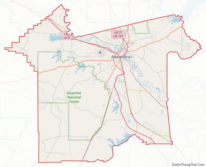
Rapides Parish Road Map
Geography
According to the U.S. Census Bureau, the parish has a total area of 1,362 square miles (3,530 km), of which 1,318 square miles (3,410 km) is land and 44 square miles (110 km) (3.2%) is water. It is the largest parish in Louisiana by land area.
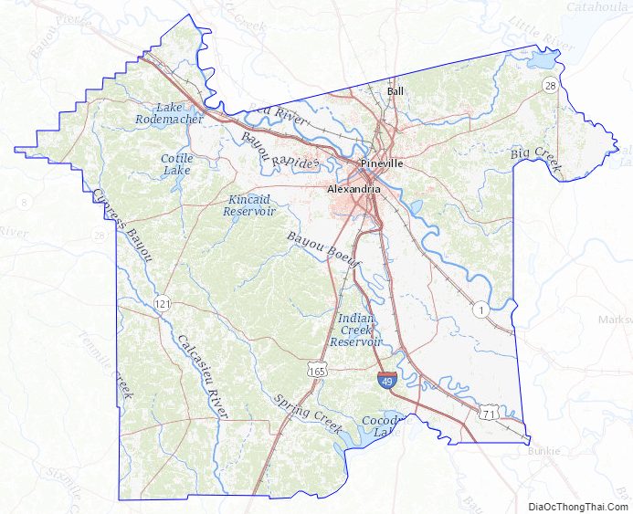
Water features
- Catahoula Lake
- Red River
Major highways
- Interstate 49
- U.S. Highway 71
- U.S. Highway 165
- U.S. Highway 167
- Louisiana Highway 1
- Louisiana Highway 28
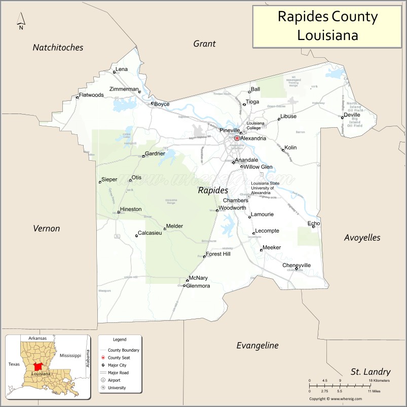
Adjacent parishes
- Grant Parish (north)
- La Salle Parish (northeast)
- Avoyelles Parish (east)
- Evangeline Parish (southeast)
- Allen Parish (southwest)
- Vernon Parish (west)
- Natchitoches Parish (northwest)
National protected area
- Kisatchie National Forest (part)
Military installations
- Camp Beauregard (LA Army National Guard)
- Esler Airfield (LA Army National Guard)
- England Air Force Base (defunct)
- Camp Claiborne (defunct)
- Camp Livingston (defunct)
National Guard
- 225th Engineer Brigade
Rapides Parish Topographic Map
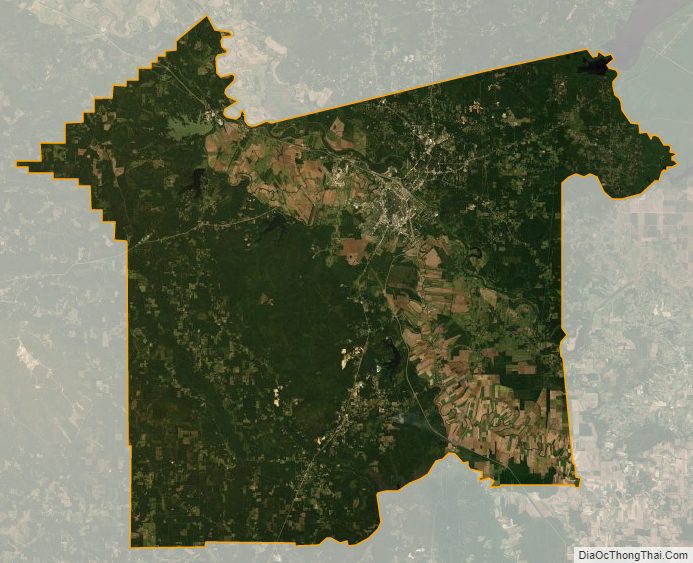
Rapides Parish Satellite Map
Rapides Parish Outline Map