Mamou is a town in Evangeline Parish, Louisiana, United States. The population was 3,242 at the 2010 census, down from 3,566 in 2000.
| Name: | Mamou town |
|---|---|
| LSAD Code: | 43 |
| LSAD Description: | town (suffix) |
| State: | Louisiana |
| County: | Evangeline Parish |
| Elevation: | 62 ft (19 m) |
| Total Area: | 1.41 sq mi (3.65 km²) |
| Land Area: | 1.41 sq mi (3.65 km²) |
| Water Area: | 0.00 sq mi (0.00 km²) |
| Total Population: | 2,936 |
| Population Density: | 2,083.75/sq mi (804.36/km²) |
| Area code: | 337 |
| FIPS code: | 2248085 |
| Website: | mamou.municipalimpact.com |
Online Interactive Map
Click on ![]() to view map in "full screen" mode.
to view map in "full screen" mode.
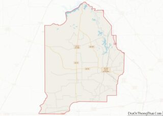
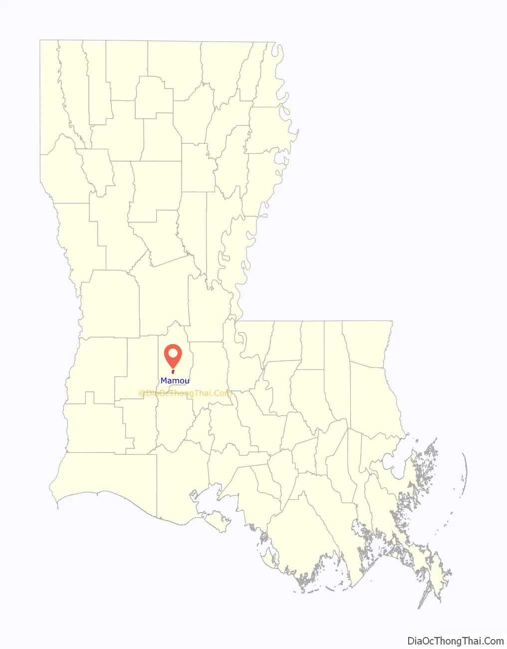
Mamou location map. Where is Mamou town?

History
There are many stories regarding the origin of the name “Mamou”. One may have been the legendary Indian, Chief Mamou. It is certain that this vast prairie was known as “Mamou Prairie” as far back as the 18th century and that Anglo-Americans first called it “Mammouth Prairie” because of its immense size. When the French came, they called it “Mamou” for mammoth. “Mamou” is also a family name found in France.
Within this vast stretch of prairie, the town site of Mamou was platted in 1907 by Curley C. Duson of Eunice. He was president of the Mamou Town Site Company which opened an office on the corner of Seventh and Chestnut. Lot auctions were held weekly and lots were sold for $50. The original village covered one square mile. On January 11, 1911, Mamou was incorporated.
Cotton was the major crop for many years on the prairie. By 1915, the village boasted four cotton gins producing thousands of bales of cotton; however, the decline in the demand for cotton led local farmers toward the growing of rice that is now the major crop of the area.
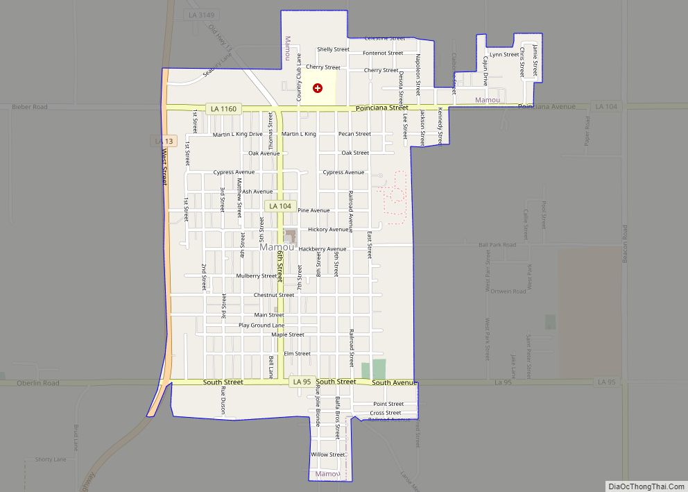
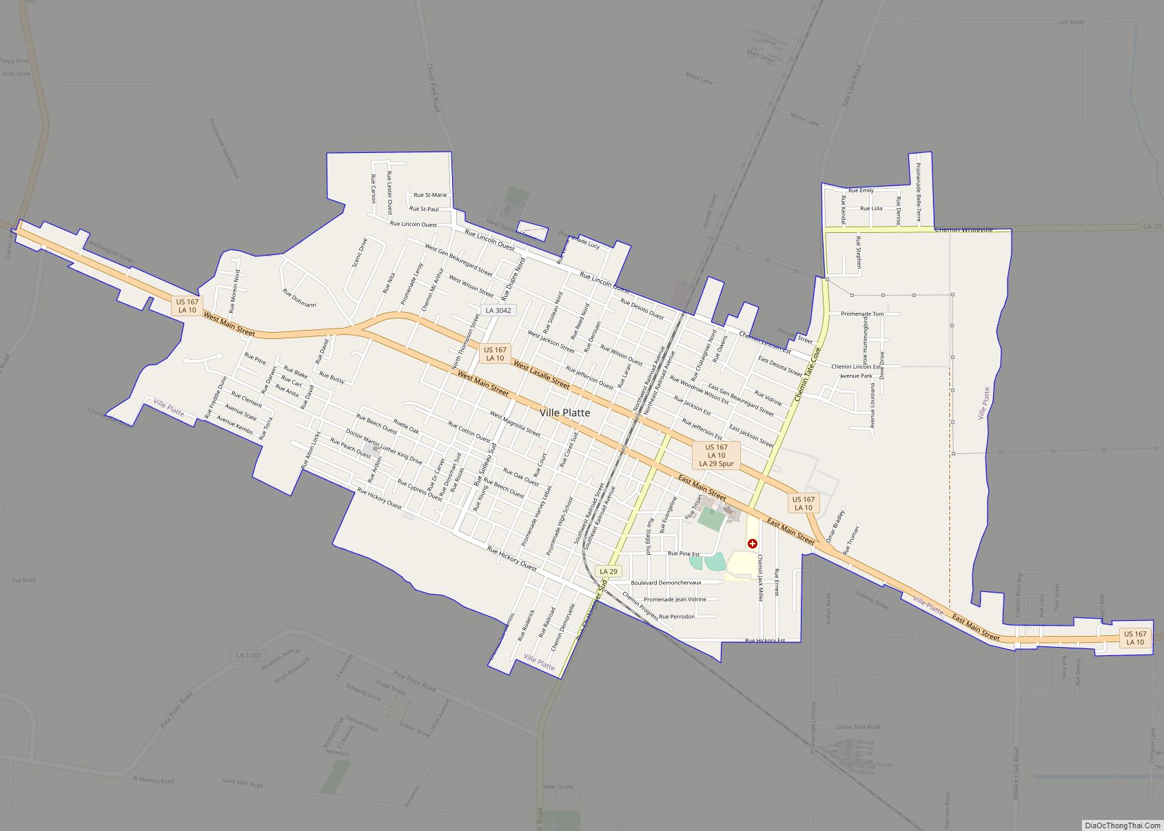
Mamou Road Map

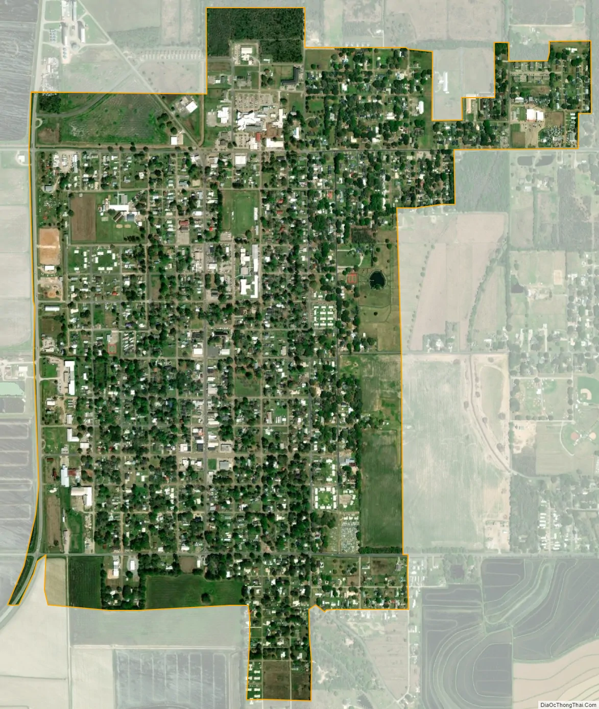
Mamou city Satellite Map
Geography
Mamou is located in south-central Evangeline Parish at 30°38′3″N 92°25′8″W / 30.63417°N 92.41889°W / 30.63417; -92.41889 (30.634033, −92.418913). Louisiana Highway 13 follows the western border of the town, leading north 3 miles (5 km) to Reddell and south 10 miles (16 km) to Eunice. Ville Platte, the parish seat, is 12 miles (19 km) to the northeast.
According to the United States Census Bureau, Mamou has a total area of 1.4 square miles (3.6 km), all land.
See also
Map of Louisiana State and its subdivision:- Acadia
- Allen
- Ascension
- Assumption
- Avoyelles
- Beauregard
- Bienville
- Bossier
- Caddo
- Calcasieu
- Caldwell
- Cameron
- Catahoula
- Claiborne
- Concordia
- De Soto
- East Baton Rouge
- East Carroll
- East Feliciana
- Evangeline
- Franklin
- Grant
- Iberia
- Iberville
- Jackson
- Jefferson
- Jefferson Davis
- La Salle
- Lafayette
- Lafourche
- Lincoln
- Livingston
- Madison
- Morehouse
- Natchitoches
- Orleans
- Ouachita
- Plaquemines
- Pointe Coupee
- Rapides
- Red River
- Richland
- Sabine
- Saint Bernard
- Saint Charles
- Saint Helena
- Saint James
- Saint John the Baptist
- Saint Landry
- Saint Martin
- Saint Mary
- Saint Tammany
- Tangipahoa
- Tensas
- Terrebonne
- Union
- Vermilion
- Vernon
- Washington
- Webster
- West Baton Rouge
- West Carroll
- West Feliciana
- Winn
- Alabama
- Alaska
- Arizona
- Arkansas
- California
- Colorado
- Connecticut
- Delaware
- District of Columbia
- Florida
- Georgia
- Hawaii
- Idaho
- Illinois
- Indiana
- Iowa
- Kansas
- Kentucky
- Louisiana
- Maine
- Maryland
- Massachusetts
- Michigan
- Minnesota
- Mississippi
- Missouri
- Montana
- Nebraska
- Nevada
- New Hampshire
- New Jersey
- New Mexico
- New York
- North Carolina
- North Dakota
- Ohio
- Oklahoma
- Oregon
- Pennsylvania
- Rhode Island
- South Carolina
- South Dakota
- Tennessee
- Texas
- Utah
- Vermont
- Virginia
- Washington
- West Virginia
- Wisconsin
- Wyoming