Fayette County is located in the central part of the U.S. state of Kentucky. As of the 2020 census, the population was 322,570, making it the second-most populous county in the commonwealth. Its territory, population and government are coextensive with the city of Lexington, which also serves as the county seat. Fayette County is part of the Lexington–Fayette, KY Metropolitan Statistical Area.
| Name: | Fayette County |
|---|---|
| FIPS code: | 21-067 |
| State: | Kentucky |
| Founded: | 1780 |
| Named for: | Gilbert du Motier, Marquis de Lafayette |
| Seat: | Lexington |
| Largest city: | Lexington |
| Total Area: | 286 sq mi (740 km²) |
| Land Area: | 284 sq mi (740 km²) |
| Total Population: | 322,570 |
| Population Density: | 1,100/sq mi (440/km²) |
| Time zone: | UTC−5 (Eastern) |
| Summer Time Zone (DST): | UTC−4 (EDT) |
| Website: | www.lexingtonky.gov |
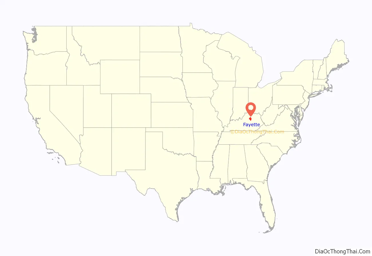
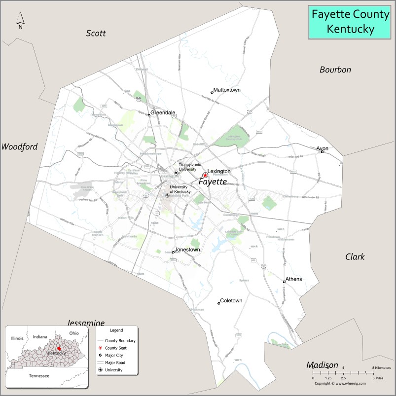
Fayette County location map. Where is Fayette County?
History
Fayette County—originally Fayette County, Virginia—was established by the Virginia General Assembly in June 1780, when it abolished and subdivided Kentucky County into three counties: Fayette, Jefferson and Lincoln. Together, these counties and those set off from them later in that decade separated from Virginia in 1792 to become the Commonwealth of Kentucky.
Originally, Fayette County included land which makes up 37 present-day counties and parts of 7 others. It was reduced to its present boundaries in 1799. The county is named for the Marquis de LaFayette, who came to America to support the rebelling English colonies in the American Revolutionary War.
On January 1, 1974, Fayette County merged its government with that of its county seat of Lexington, creating a consolidated city-county governed by the Lexington-Fayette Urban County Government.
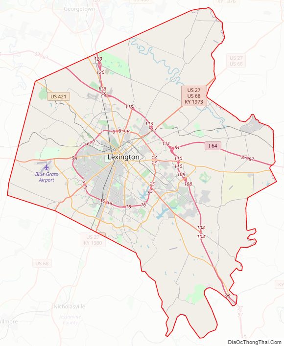
Fayette County Road Map
Geography
According to the United States Census Bureau, the county has a total area of 286 square miles (740 km), of which 284 square miles (740 km) is land and 1.9 square miles (4.9 km) (0.7%) is water.
Major highways
- Interstate 75
- Interstate 64
- U.S. Route 25
- U.S. Route 27
- U.S. Route 60
- U.S. Route 68
- U.S. Route 421
- Kentucky Route 4, a.k.a. New Circle Road
Adjacent counties
- Scott County (north)
- Bourbon County (northeast)
- Clark County (east)
- Madison County (south)
- Jessamine County (south)
- Woodford County (west)
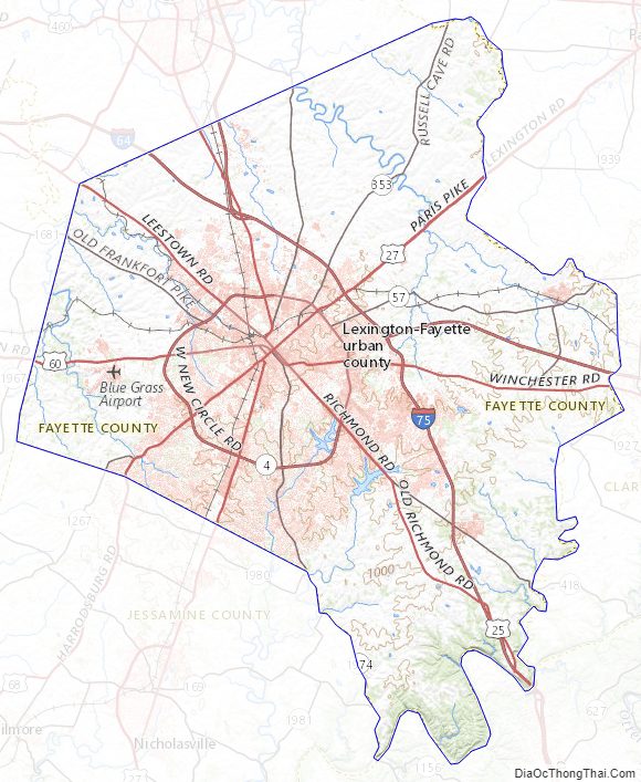
Fayette County Topographic Map
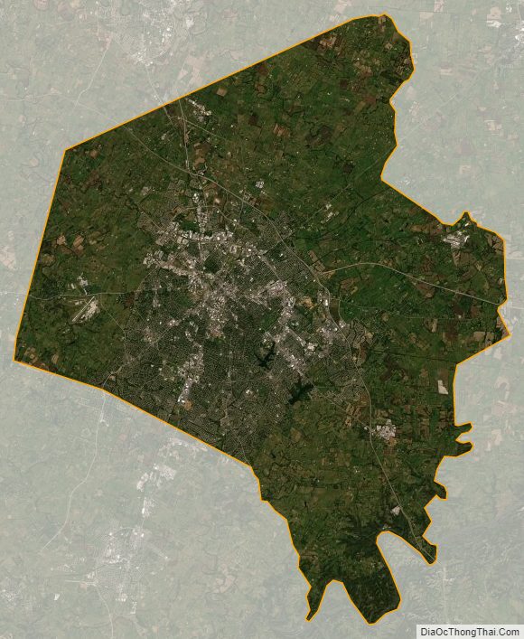
Fayette County Satellite Map
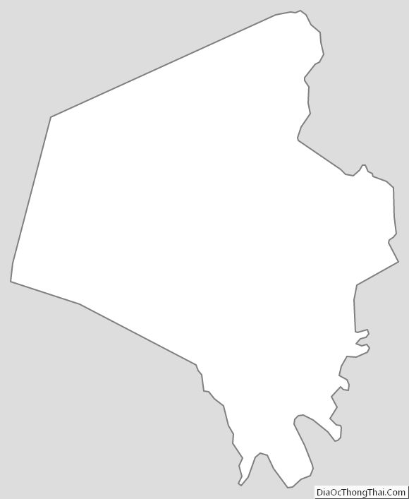
Fayette County Outline Map