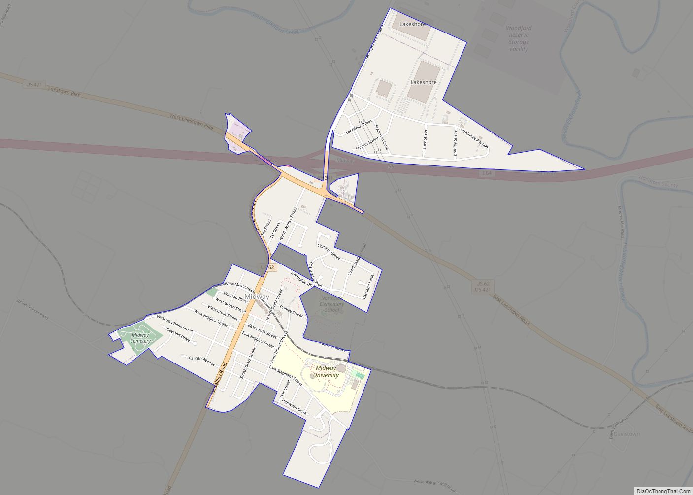
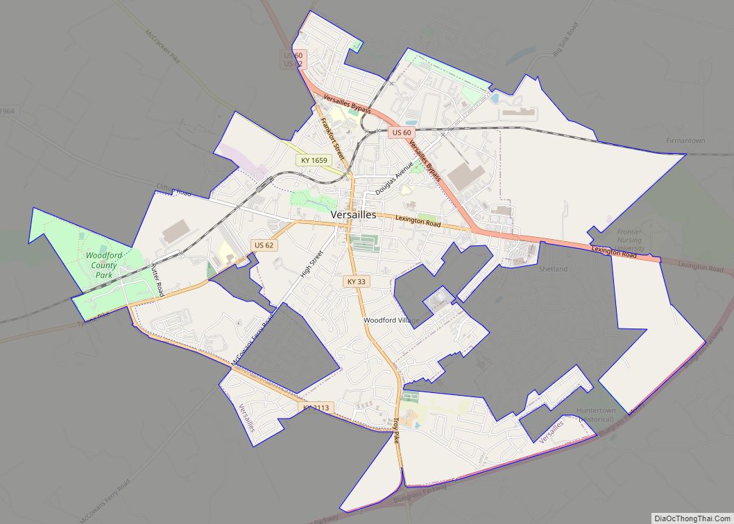
Woodford County is a county located in the U.S. state of Kentucky. As of the 2020 census, the population was 26,871. Its county seat is Versailles. The area was home to Pisgah Academy. Woodford County is part of the Lexington-Fayette, KY Metropolitan Statistical Area. It is located in the center of the Bluegrass region of Kentucky.
| Name: | Woodford County |
|---|---|
| FIPS code: | 21-239 |
| State: | Kentucky |
| Founded: | November 12, 1788 |
| Named for: | William Woodford |
| Seat: | Versailles |
| Largest city: | Versailles |
| Total Area: | 192 sq mi (500 km²) |
| Land Area: | 189 sq mi (490 km²) |
| Total Population: | 26,871 |
| Population Density: | 140/sq mi (54/km²) |
| Time zone: | UTC−5 (Eastern) |
| Summer Time Zone (DST): | UTC−4 (EDT) |
| Website: | woodfordcounty.ky.gov |
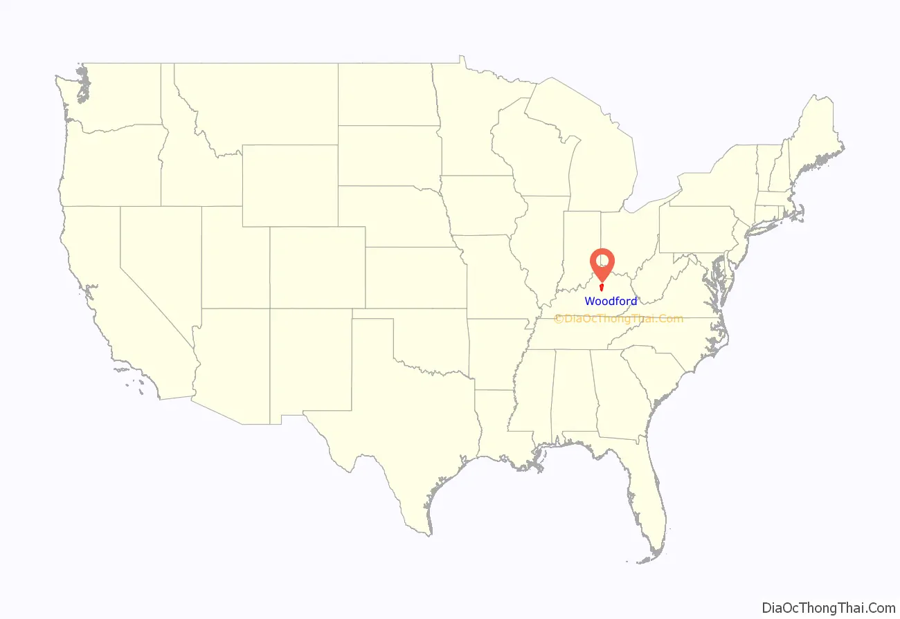
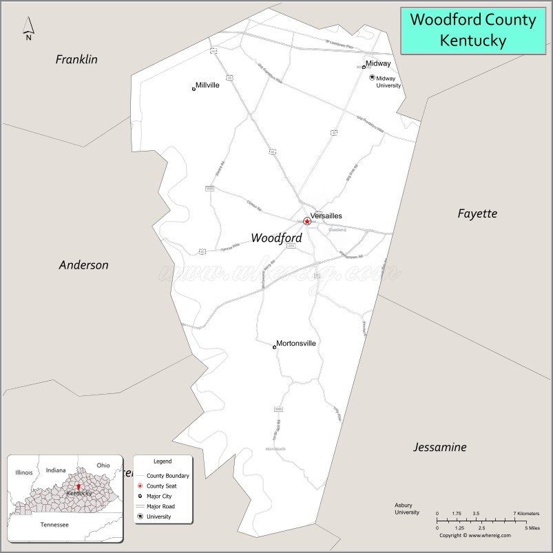
Woodford County location map. Where is Woodford County?

History
The county was formed from a part of Fayette County, Virginia in 1788. It was named for William Woodford, an American Revolutionary War general from Virginia who died while a prisoner of war in 1780. It was the last of the original nine counties established that formed the Commonwealth of Kentucky in 1792.
Scott County was formed from part of the county in 1792. Franklin County took another part of the county in 1794.
Queen Elizabeth II stayed in Woodford County at Lane’s End Farm in May 2007. She also attended the Kentucky Derby in Louisville.
Pisgah Academy
Pisgah Academy was a school in Woodford County. It was established by Col. Alexander Dunlap. The Library of Congress has photographs of the church and academy.
The Kentucky Historical Society has a photograph of the school building.
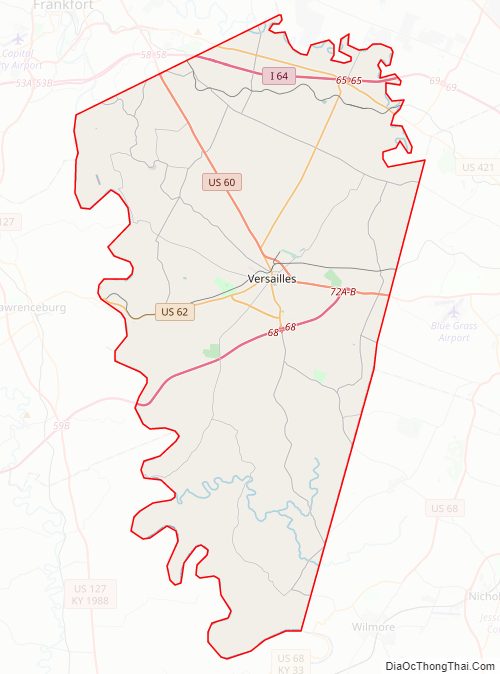
Woodford County Road Map
Geography
According to the United States Census Bureau, the county has a total area of 192 square miles (500 km), of which 189 square miles (490 km) is land and 3.3 square miles (8.5 km) (1.7%) is water.
Adjacent counties
- Franklin County (northwest)
- Scott County (northeast)
- Fayette County (east)
- Jessamine County (southeast)
- Mercer County (southwest)
- Anderson County (west)
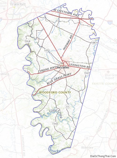
Woodford County Topographic Map
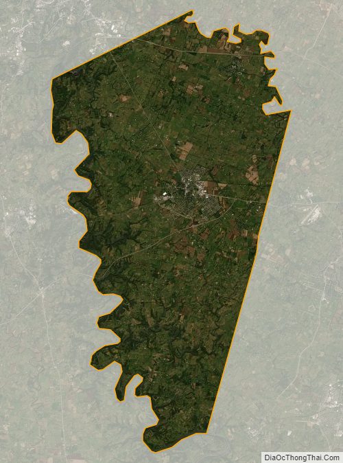
Woodford County Satellite Map
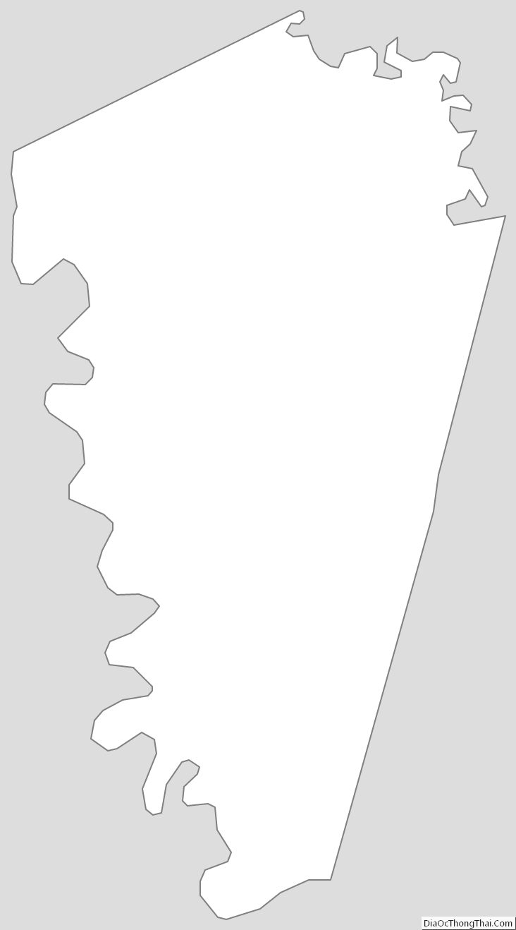
Woodford County Outline Map