Franklin County is a county located in the U.S. state of Kentucky. As of the 2020 census, the population was 51,541. Its county seat is Frankfort, the state capital. The county was formed in 1795 from parts of Woodford, Mercer and Shelby counties, and was named after the American inventor and statesman Benjamin Franklin. Franklin County is part of the Frankfort, Kentucky Micropolitan Statistical Area. It shares a name with Franklin County in Ohio, where Columbus is located. This makes it one of two pairs of capital cities in counties of the same name, along with Marion Counties in Oregon and Indiana.
| Name: | Franklin County |
|---|---|
| FIPS code: | 21-073 |
| State: | Kentucky |
| Founded: | May 10, 1795 |
| Named for: | Benjamin Franklin |
| Seat: | Frankfort |
| Largest city: | Frankfort |
| Total Area: | 212 sq mi (550 km²) |
| Land Area: | 208 sq mi (540 km²) |
| Total Population: | 51,541 |
| Population Density: | 240/sq mi (94/km²) |
| Time zone: | UTC−5 (Eastern) |
| Summer Time Zone (DST): | UTC−4 (EDT) |
| Website: | franklincounty.ky.gov |
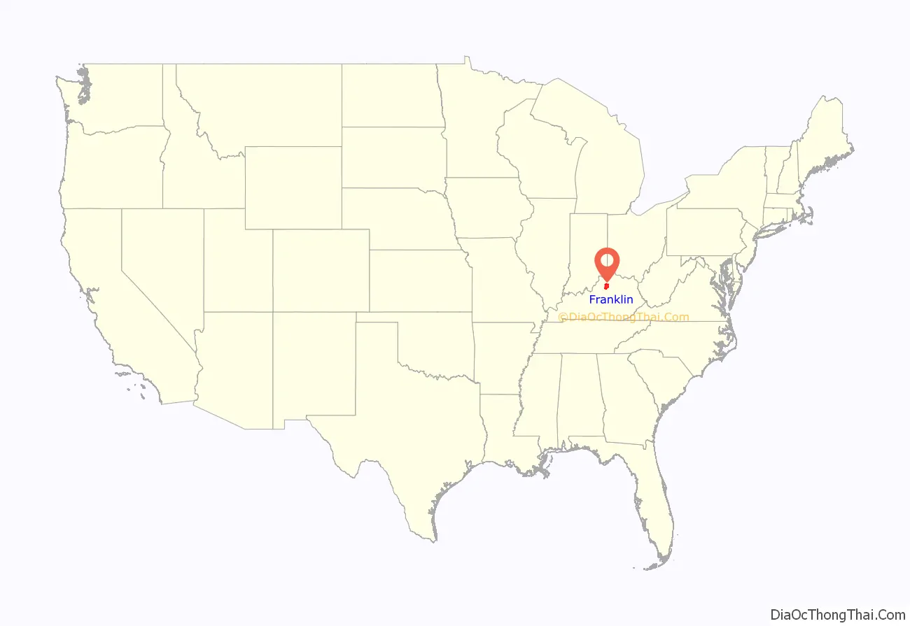
Franklin County location map. Where is Franklin County?
History
The three original counties of Kentucky (Jefferson, Fayette and Lincoln counties) intersected in what is today Franklin County. Franklin County was established in 1795 from land given by Mercer, Shelby, and Woodford counties. Franklin was the 18th Kentucky county in order of formation.
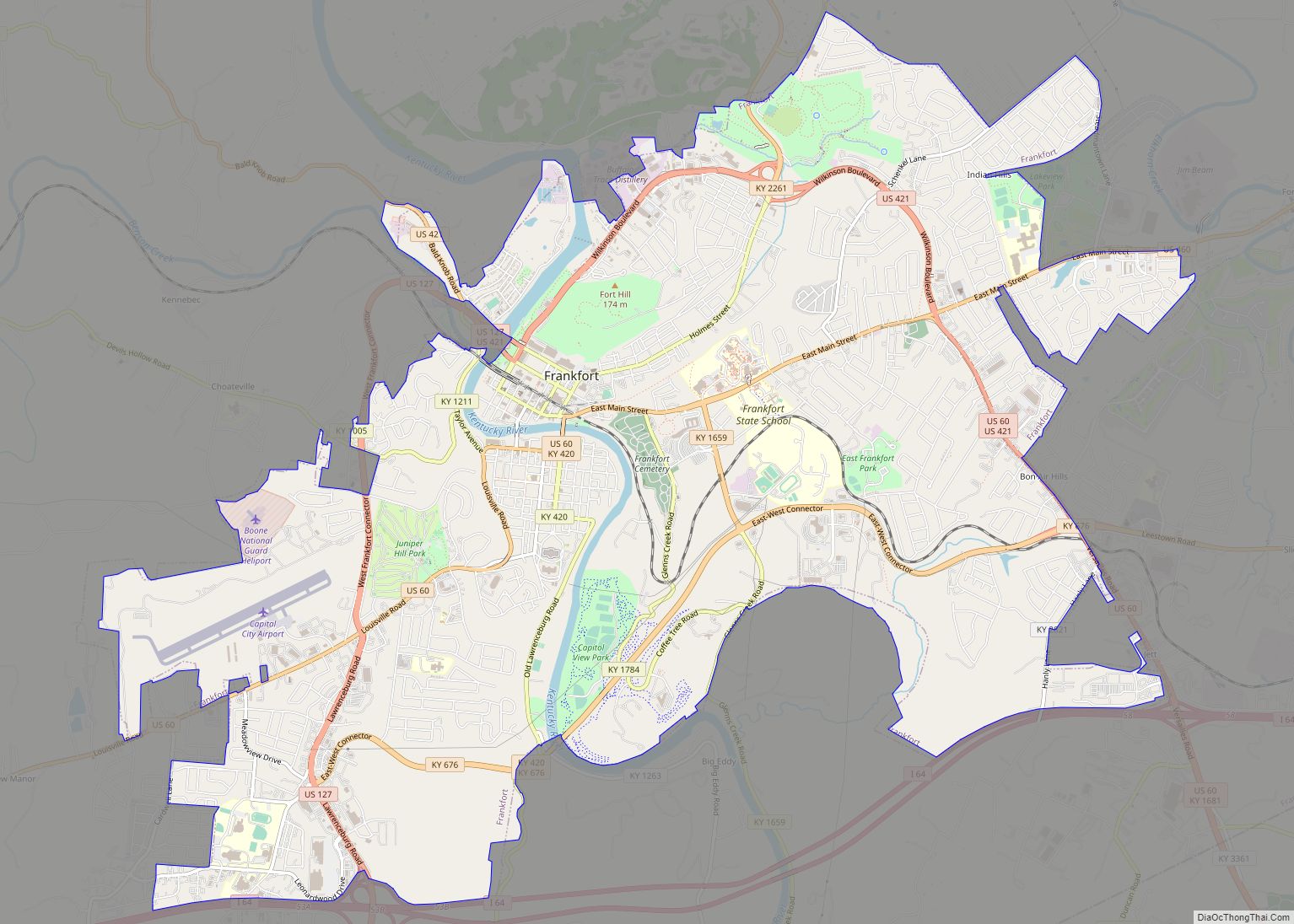
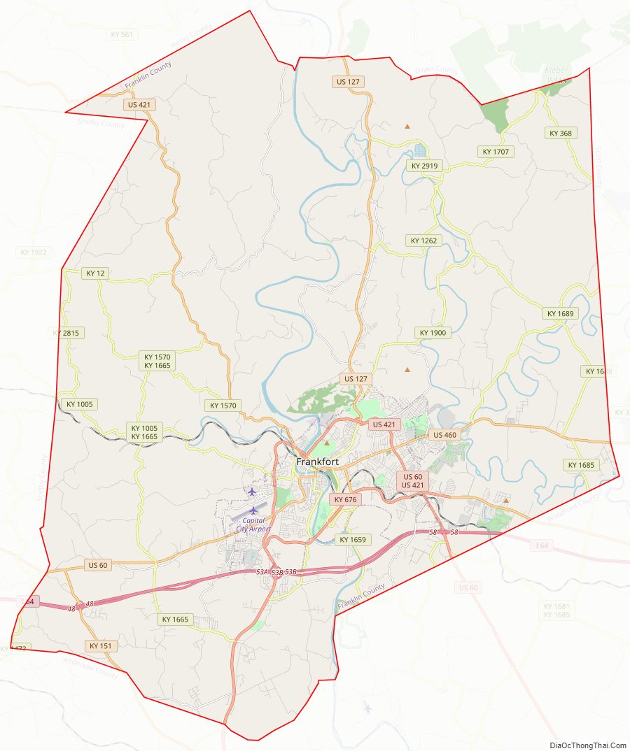
Franklin County Road Map

Geography
According to the United States Census Bureau, the county has a total area of 212 square miles (550 km), of which 208 square miles (540 km) is land and 4.3 square miles (11 km) (2.0%) is water.
Major highways
- Interstate 64
- US 127
- US 60
- US 421
- US 460
- KY 676
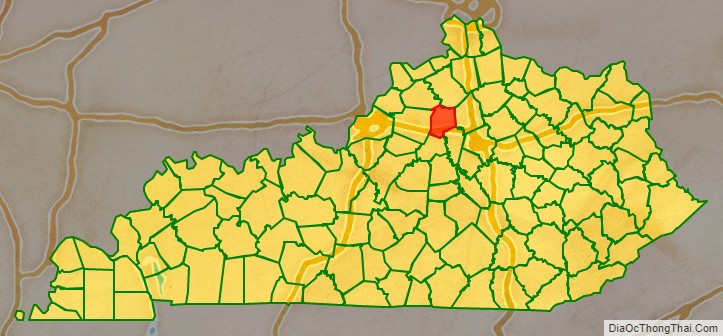
Adjacent counties
- Owen County (north)
- Scott County (east)
- Woodford County (southeast)
- Anderson County (south)
- Shelby County (west)
- Henry County (northwest)
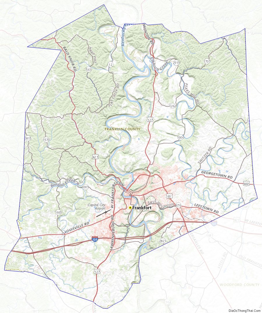
Franklin County Topographic Map
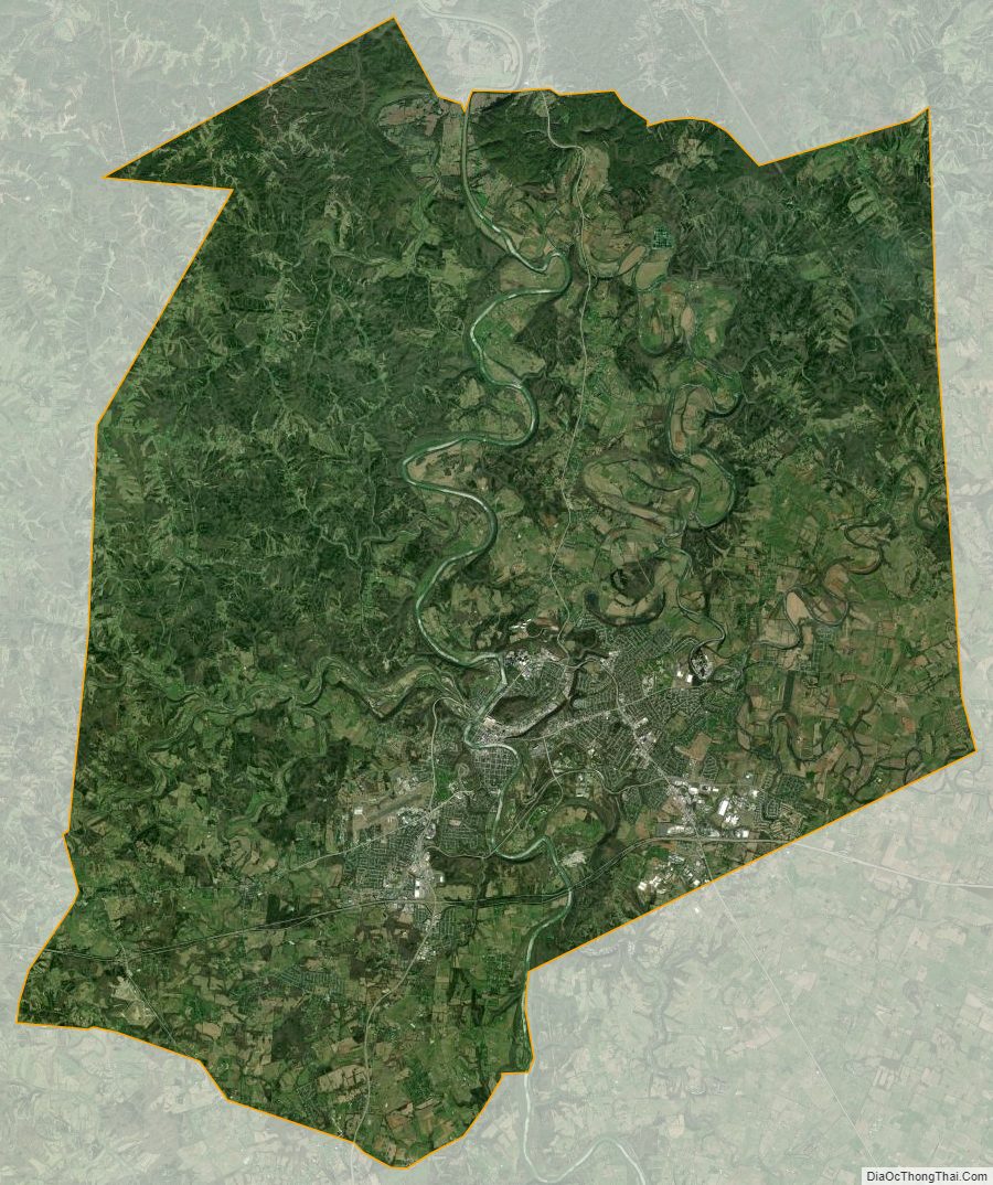
Franklin County Satellite Map
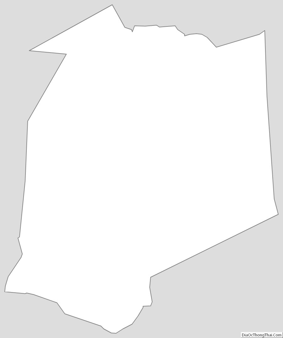
Franklin County Outline Map