Franklin County is a county located in the U.S. state of Vermont. As of the 2020 census, the population was 49,946. Its county seat is the city of St. Albans. It borders the Canadian province of Quebec. The county was created in 1792 and organized in 1796. Franklin County is part of the Burlington metropolitan area.
| Name: | Franklin County |
|---|---|
| FIPS code: | 50-011 |
| State: | Vermont |
| Founded: | December 1, 1796 |
| Named for: | Benjamin Franklin |
| Largest city: | St. Albans |
| Total Area: | 692 sq mi (1,790 km²) |
| Land Area: | 634 sq mi (1,640 km²) |
| Total Population: | 49,946 |
| Population Density: | 72/sq mi (28/km²) |
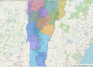
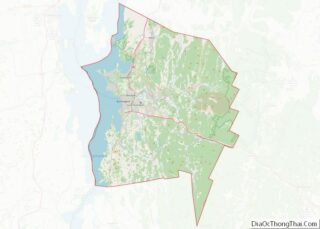
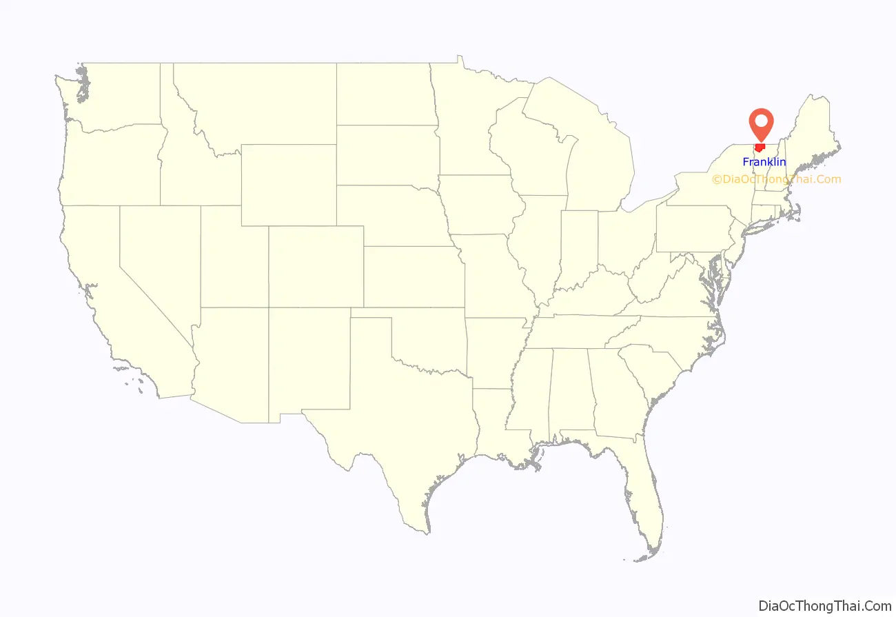
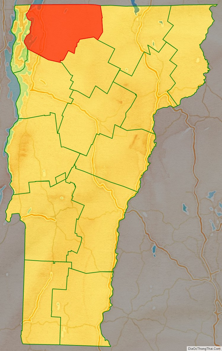
Franklin County location map. Where is Franklin County?
History
Franklin County is one of several Vermont counties created from land claimed by Vermont on January 15, 1777, when Vermont declared itself to be a state distinct from New York. The land originally was contested by Massachusetts, New Hampshire, and New York, but it remained undelineated until July 20, 1764, when King George III established the boundary between New Hampshire and New York along the west bank of the Connecticut River, north of Massachusetts and south of the parallel of 45 degrees north latitude. New York assigned the land gained to Albany County. On March 12, 1772, Albany County was partitioned to create Charlotte County, and this situation remained until Vermont’s independence from New York and Britain. However, this did not end the contest. In 1772, land surveyors John Collins of Quebec and Thomas Valentine of New York erected survey monuments along what they took to be the 45th parallel of north latitude, intended to be the boundary between New York and Quebec. The Webster–Ashburton Treaty of 1842 said that their measurement errors stand, so the boundary between Vermont and Quebec, and between New York and Quebec, is where Collins and Valentine put the survey monuments, some of which still stand today (see Collins–Valentine line).
On September 3, 1783, as a result of the signing of the Treaty of Paris the Revolutionary War ended with Great Britain recognizing the independence of the United States. Article II of the treaty agreed on boundaries between the United States and British possessions to the north, and included Vermont within the U.S. Vermont’s border with Quebec was established at 45 degrees north latitude. In 1792, Franklin County was formed from part of Chittenden County. However, Vermont’s government continued to take the position that it was independent of both the United States and Britain, and so it remained until 1791.
The county’s namesake is Benjamin Franklin.
In 2008, the federal government declared the county a disaster area after severe storms and flooding on June 14–17.
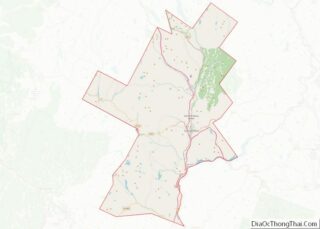
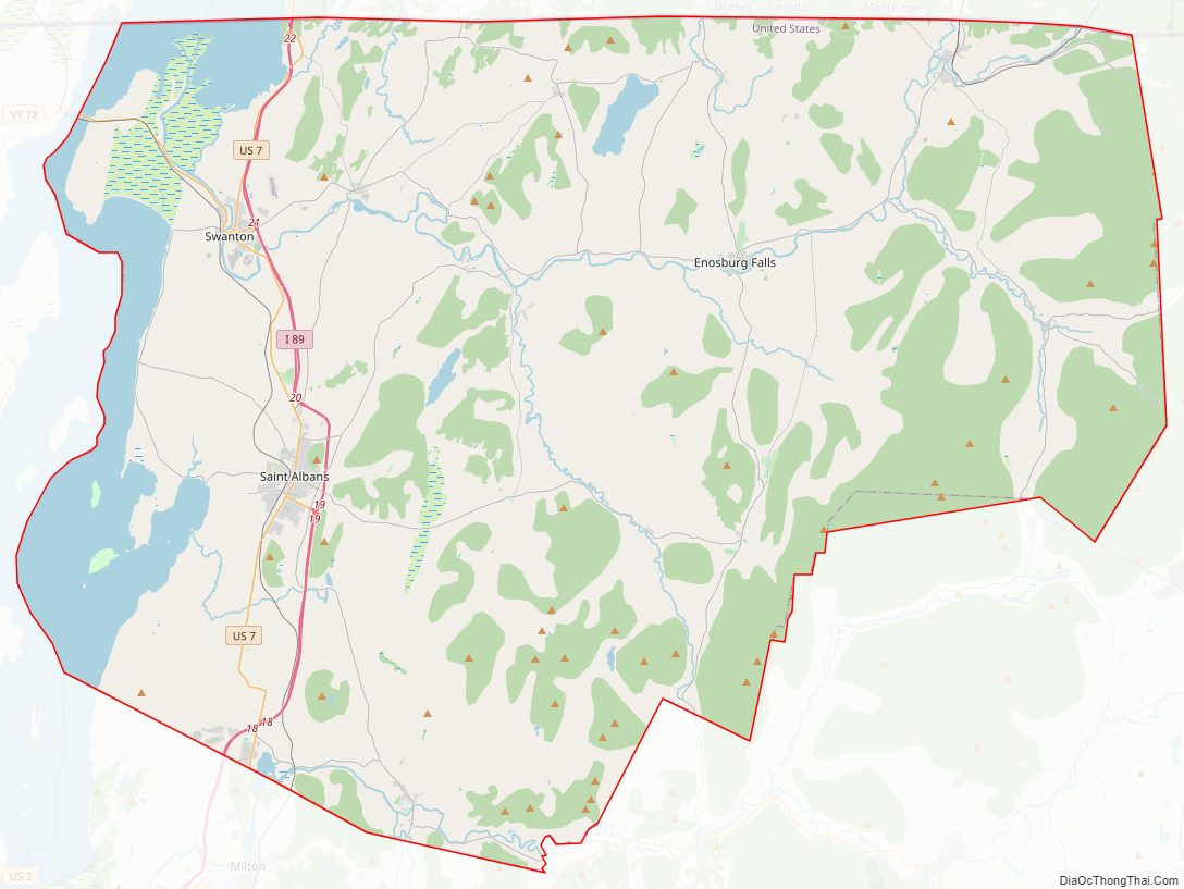
Franklin County Road Map
Geography
According to the U.S. Census Bureau, the county has an area of 692 square miles (1,790 km), of which 634 square miles (1,640 km) is land and 58 square miles (150 km) (8.4%) is water.
Adjacent counties and municipalities
- Orleans County – east
- Lamoille County – southeast
- Chittenden County – southwest
- Grand Isle County – west
- Le Haut-Richelieu Regional County Municipality, Quebec – northwest
- Brome-Missisquoi Regional County Municipality, Quebec – north
National protected area
- Missisquoi National Wildlife Refuge
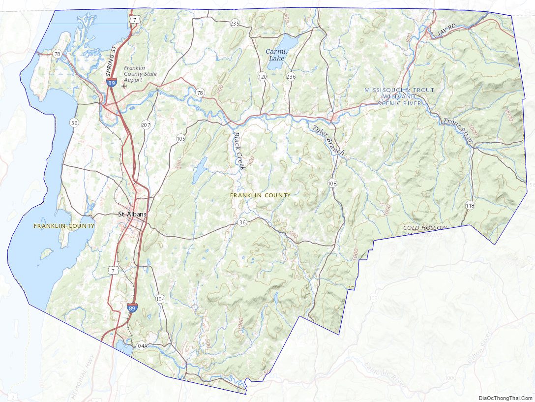
Franklin County Topographic Map
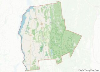
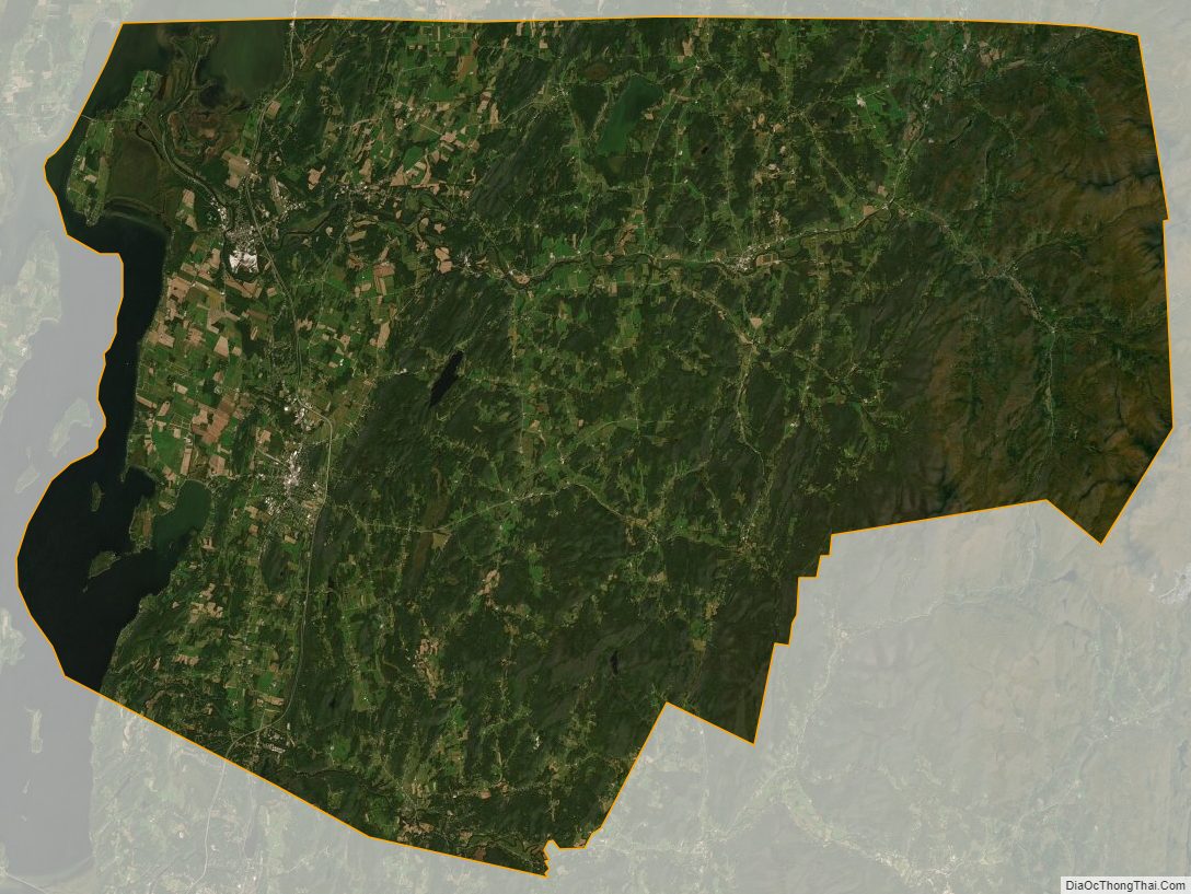
Franklin County Satellite Map
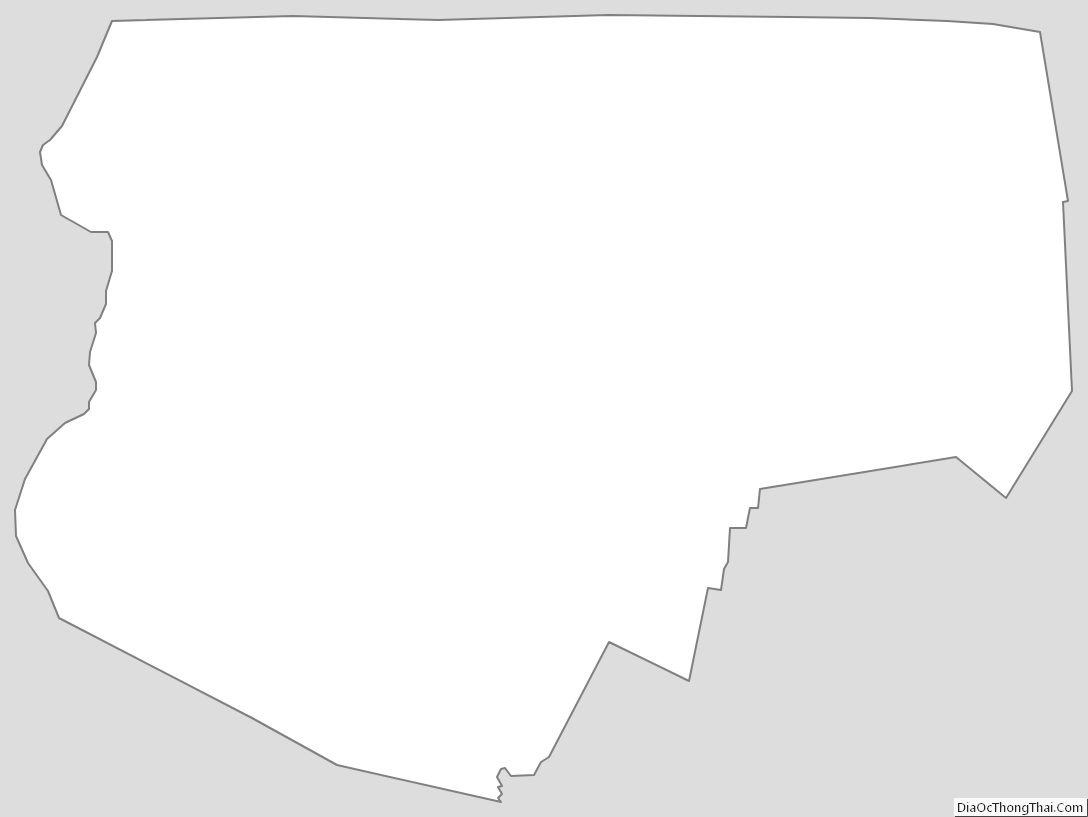
Franklin County Outline Map