Massachusetts (/ˌmæsəˈtʃuːsɪts/ (listen), /-zɪts/; Massachusett: Muhsachuweesut /məhswatʃəwiːsət/), officially the Commonwealth of Massachusetts, is the most populous state in the New England region of the Northeastern United States, exceeding 7 million residents at the 2020 United States census, its highest decennial count ever. The state borders the Atlantic Ocean and Gulf of Maine to its east, Connecticut and Rhode Island to its south, New Hampshire and Vermont to its north, and New York to its west. Massachusetts is the 6th smallest state by land area but is the 15th most populous state and the 3rd most densely populated, after New Jersey and Rhode Island. The state’s capital and most populous city, as well as its cultural and financial center, is Boston. Massachusetts is also home to the urban core of Greater Boston, the largest metropolitan area in New England and a region profoundly influential upon American history, academia, and the research economy. Originally dependent on agriculture, fishing, and trade, Massachusetts was transformed into a manufacturing center during the Industrial Revolution. During the 20th century, Massachusetts’s economy shifted from manufacturing to services. Modern Massachusetts is a global leader in biotechnology, engineering, higher education, finance, and maritime trade.
Massachusetts was a site of early English colonization: the Plymouth Colony was founded in 1620 by the Pilgrims of the Mayflower, and in 1630 the Massachusetts Bay Colony, taking its name from the indigenous Massachusett people, established settlements in Boston and Salem. In 1692, the town of Salem and surrounding areas experienced one of America’s most infamous cases of mass hysteria, the Salem witch trials. In 1777, General Henry Knox founded the Springfield Armory, which, during the Industrial Revolution, catalyzed numerous important technological advances, including interchangeable parts. In 1786, Shays’ Rebellion, a populist revolt led by disaffected American Revolutionary War veterans, influenced the United States Constitutional Convention. In the 18th century, the Protestant First Great Awakening, which swept Britain and the Thirteen Colonies, originated from the pulpit of Northampton preacher Jonathan Edwards. In the late 18th century, Boston became known as the “Cradle of Liberty” for the agitation there that later led to the American Revolution.
Massachusetts has played a powerful scientific, commercial, and cultural role in the history of the United States. Before the American Civil War, Massachusetts was a center for the abolitionist, temperance, and transcendentalist movements. In the late 19th century, the sports of basketball and volleyball were invented in the western Massachusetts cities of Springfield and Holyoke, respectively. Massachusetts became the first U.S. state and one of the earliest jurisdictions in the world to legally recognize same-sex marriage as a result of the Massachusetts Supreme Judicial Court’s decision in Goodridge v. Department of Public Health in 2004, and Boston is considered a hub of LGBT culture and LGBT activism in the United States. Prominent American political dynasties have hailed from the state, including the Adams and Kennedy families.
Harvard University in Cambridge is the oldest institution of higher learning in the United States, with the largest financial endowment of any university. The university has educated eight Presidents of the United States while Harvard Law School has educated a contemporaneous majority of Justices of the Supreme Court of the United States. Kendall Square in Cambridge has been called “the most innovative square mile on the planet”, in reference to the high concentration of entrepreneurial start-ups and quality of innovation which have emerged in the vicinity of the square since 2010. Both Harvard and MIT, also in Cambridge, are perennially ranked as either the most or among the most highly regarded academic institutions in the world. The state’s public-school students place among the top tier in the world in academic performance. Massachusetts has been ranked as one of the top states in the United States for citizens to live in, as well as one of the most expensive.
Massachusetts is one of the most educated, developed, and wealthiest states, ranking 1st in percentage of population 25 and over with a bachelor’s degree and 1st in percentage of population 25 and over with an advanced degree, 1st on both the American Human Development Index and the standard Human Development Index, 1st in per capita income and 2nd in median household income.
| Before statehood: | Province of Massachusetts Bay |
|---|---|
| Admitted to the Union: | February 6, 1788 (6th) |
| Capital: | Boston |
| Largest city: | Boston |
| Largest metro and urban areas: | Greater Boston |
| Elevation: | 508 ft (150 m) |
| Total Area: | 10,565 sq mi (27,337 km) |
| Area Rank: | 44th |
| Total Population: | 7,029,917 |
| Population Rank: | 15th |
| Population Density: | 897/sq mi (346/km) |
| Population Density Rank: | 3rd |
| Median Household Income: | $89,026 |
| Income Rank: | 2nd |
| Demonym(s): | Bay Stater (official) Massachusite (traditional)
Massachusettsan (recommended by the U.S. GPO) Masshole (derogatory or endearing) |
| USPS abbreviation: | MA |
| ISO 3166 code: | US-MA |
| Website: | www.mass.gov |
Online Interactive Map
Click on ![]() to view map in "full screen" mode.
to view map in "full screen" mode.
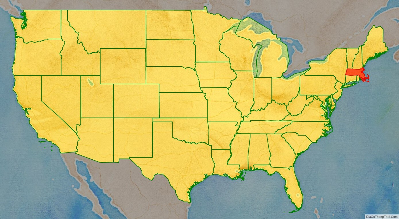
Massachusetts location map. Where is Massachusetts state?
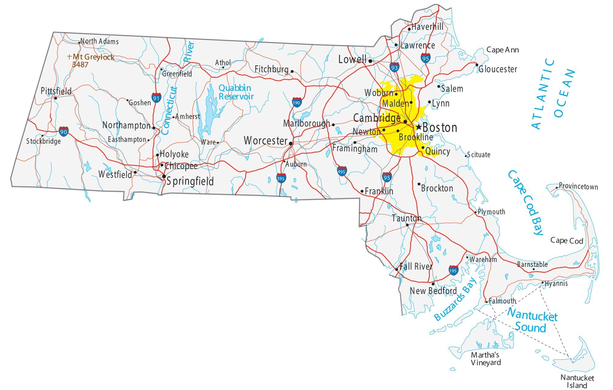
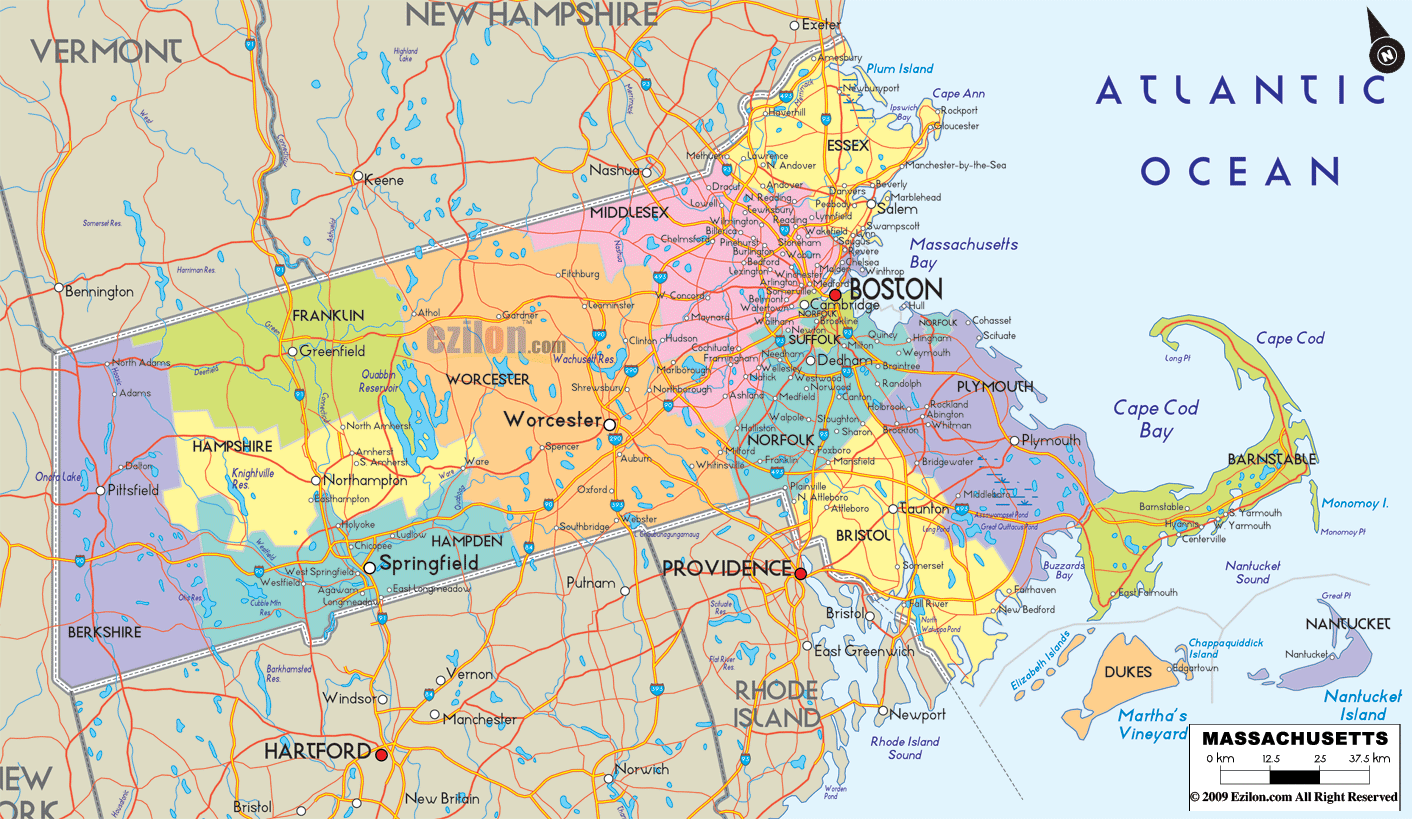
Massachusetts Road Map
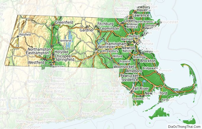
Massachusetts Map – Roads & Cities
Massachusetts Street Map
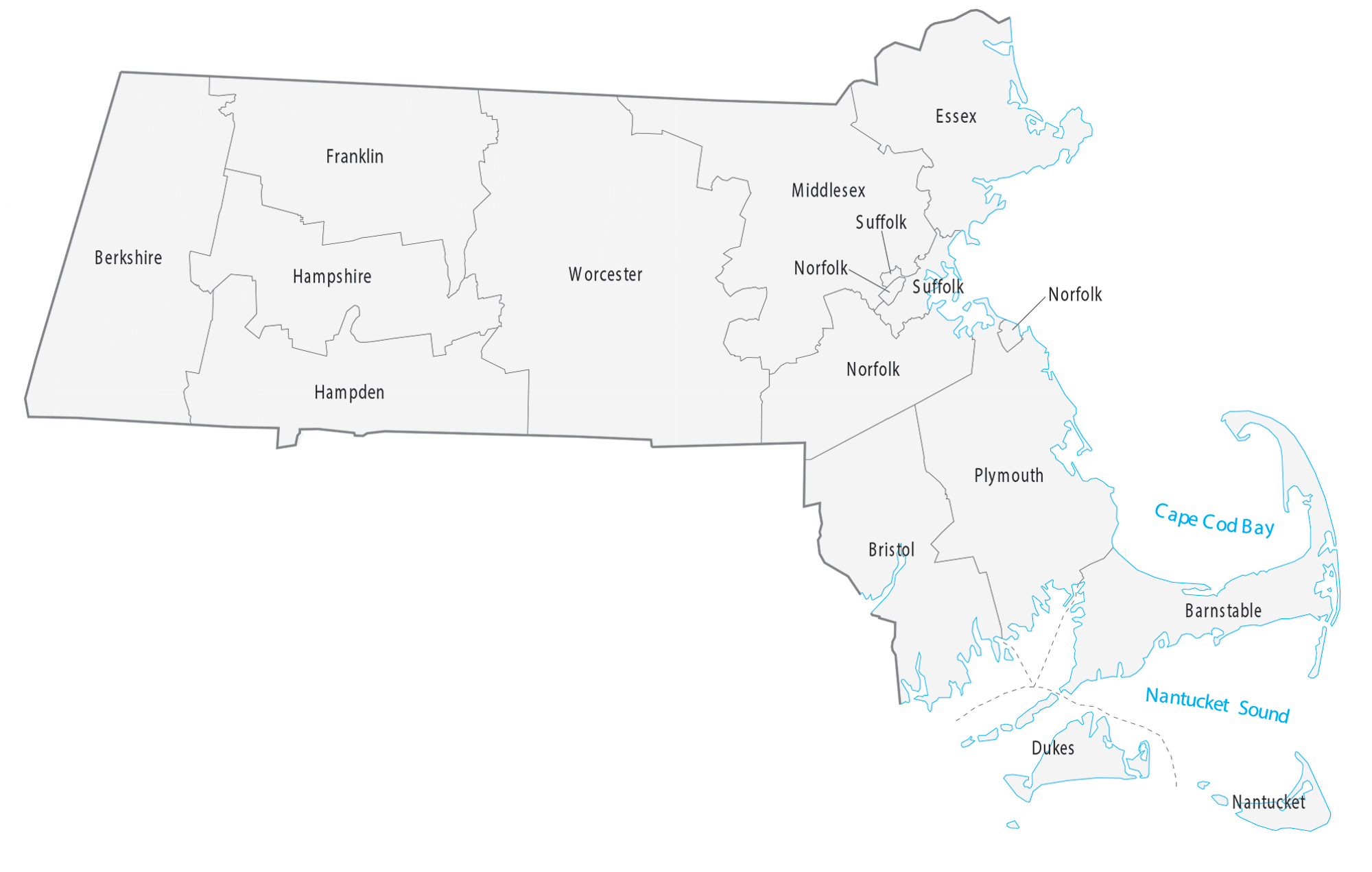
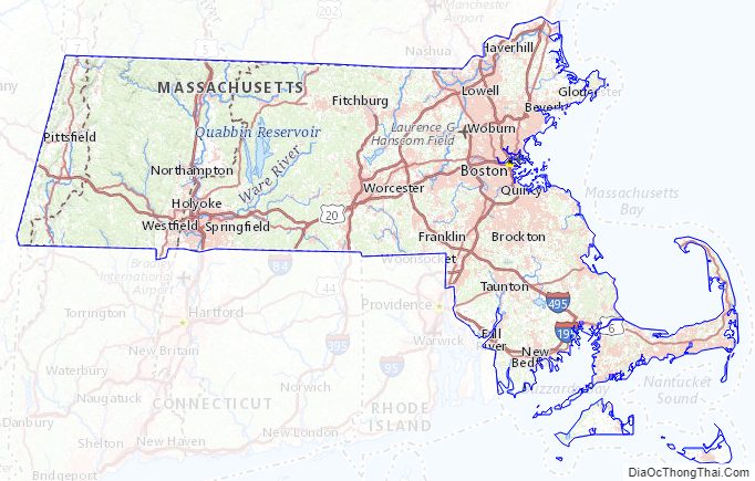
Massachusetts State Map – Places and Landmarks
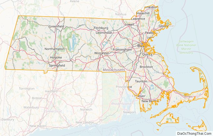
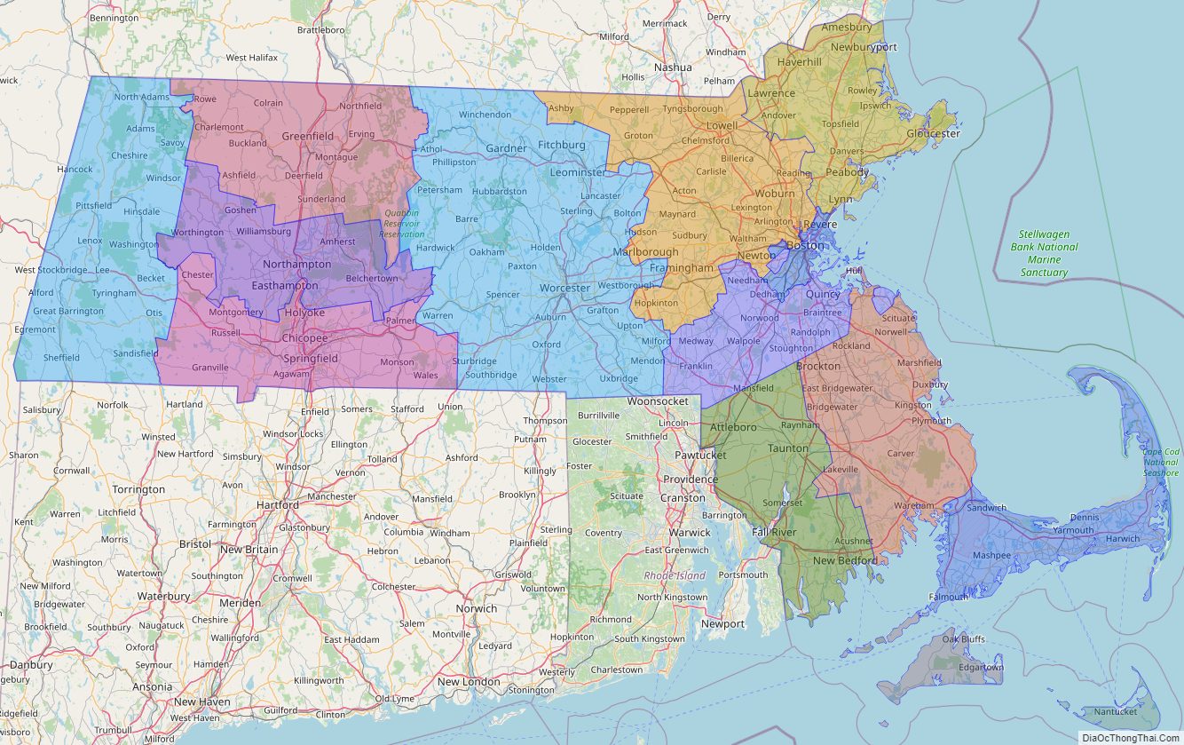
Massachusetts Political Map
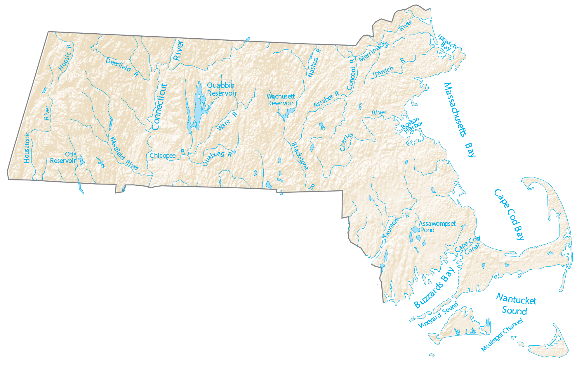
Massachusetts Lakes and Rivers Map
Geography
Massachusetts is the 7th-smallest state in the United States. It is located in the New England region of the Northeastern United States and has an area of 10,555 square miles (27,340 km), 25.7% of which is water. Several large bays distinctly shape its coast. Boston is the largest city, at the inmost point of Massachusetts Bay, and the mouth of the Charles River.
Despite its small size, Massachusetts features numerous topographically distinctive regions. The large coastal plain of the Atlantic Ocean in the eastern section of the state contains Greater Boston, along with most of the state’s population, as well as the distinctive Cape Cod peninsula. To the west lies the hilly, rural region of Central Massachusetts, and beyond that, the Connecticut River Valley. Along the western border of Western Massachusetts lies the highest elevated part of the state, the Berkshires, forming a portion of the northern terminus of the Appalachian Mountains.
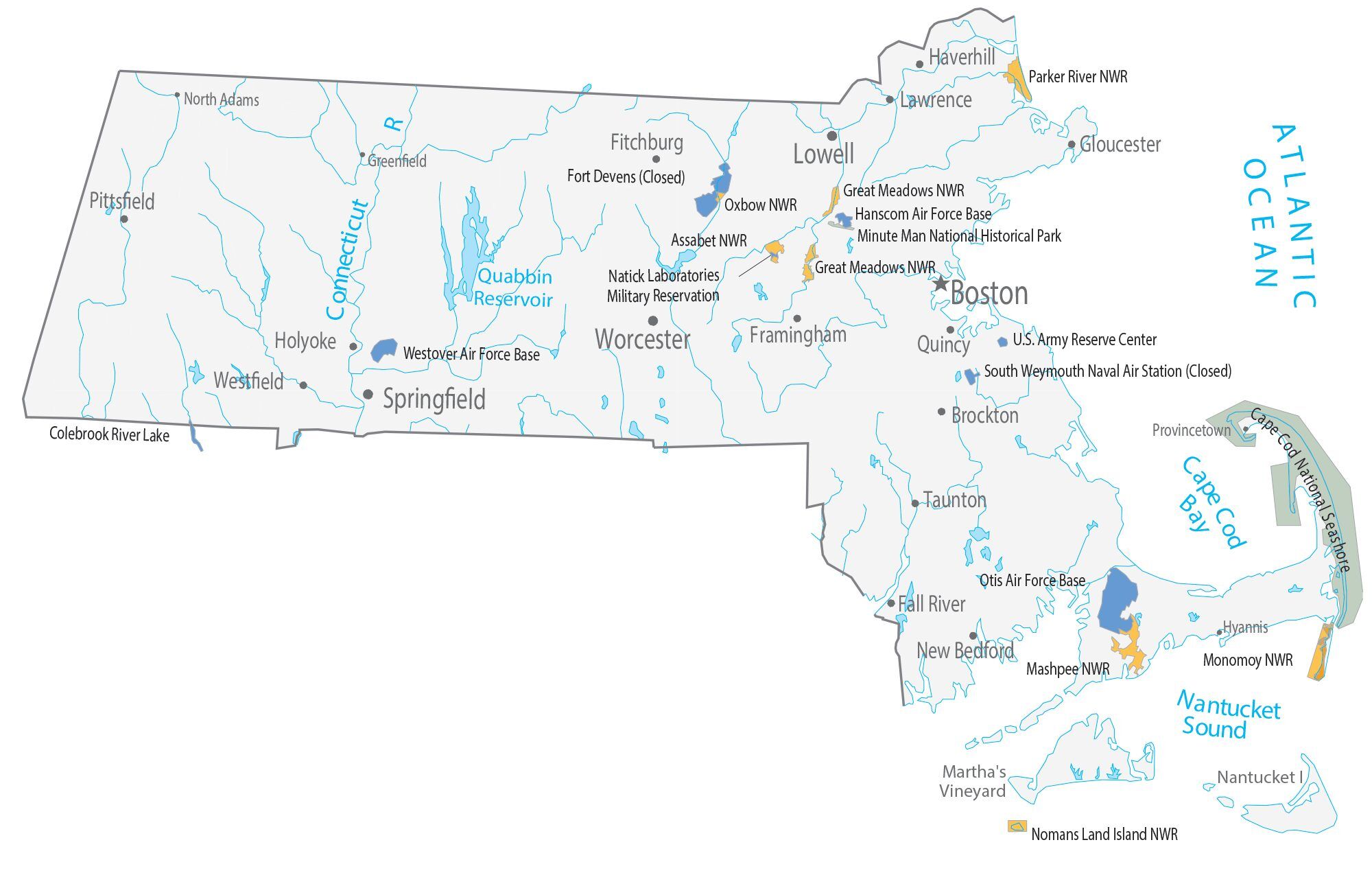
The U.S. National Park Service administers a number of natural and historical sites in Massachusetts. Along with twelve national historic sites, areas, and corridors, the National Park Service also manages the Cape Cod National Seashore and the Boston Harbor Islands National Recreation Area. In addition, the Department of Conservation and Recreation maintains a number of parks, trails, and beaches throughout Massachusetts.
Ecology
The primary biome of inland Massachusetts is temperate deciduous forest. Although much of Massachusetts had been cleared for agriculture, leaving only traces of old-growth forest in isolated pockets, secondary growth has regenerated in many rural areas as farms have been abandoned. Forests cover around 62% of Massachusetts. The areas most affected by human development include the Greater Boston area in the east and the Springfield metropolitan area in the west, although the latter includes agricultural areas throughout the Connecticut River Valley. There are 219 endangered species in Massachusetts.
A number of species are doing well in the increasingly urbanized Massachusetts. Peregrine falcons utilize office towers in larger cities as nesting areas, and the population of coyotes, whose diet may include garbage and roadkill, has been increasing in recent decades. White-tailed deer, raccoons, wild turkeys, and eastern gray squirrels are also found throughout Massachusetts. In more rural areas in the western part of Massachusetts, larger mammals such as moose and black bears have returned, largely due to reforestation following the regional decline in agriculture.
Massachusetts is located along the Atlantic Flyway, a major route for migratory waterfowl along the eastern coast. Lakes in central Massachusetts provide habitat for many species of fish and waterfowl, but some species such as the common loon are becoming rare. A significant population of long-tailed ducks winter off Nantucket. Small offshore islands and beaches are home to roseate terns and are important breeding areas for the locally threatened piping plover. Protected areas such as the Monomoy National Wildlife Refuge provide critical breeding habitat for shorebirds and a variety of marine wildlife including a large population of grey seals. Since 2009, there has been a significant increase in the number of Great white sharks spotted and tagged in the coastal waters off of Cape Cod.
Freshwater fish species in Massachusetts include bass, carp, catfish, and trout, while saltwater species such as Atlantic cod, haddock, and American lobster populate offshore waters. Other marine species include Harbor seals, the endangered North Atlantic right whales, as well as humpback whales, fin whales, minke whales, and Atlantic white-sided dolphins.
The European corn borer, a significant agricultural pest, was first found in North America near Boston, Massachusetts in 1917.
Climate
Most of Massachusetts has a humid continental climate, with cold winters and warm summers. Far southeast coastal areas are the broad transition zone to Humid Subtropical climates. The warm to hot summers render the oceanic climate rare in this transition, only applying to exposed coastal areas such as on the peninsula of Barnstable County. The climate of Boston is quite representative for the commonwealth, characterized by summer highs of around 81 °F (27 °C) and winter highs of 35 °F (2 °C), and is quite wet. Frosts are frequent all winter, even in coastal areas due to prevailing inland winds. Due to its location near the Atlantic, Massachusetts is vulnerable to nor’easters, hurricanes and tropical storms.
Massachusetts Physical Map

Massachusetts Topographic Map
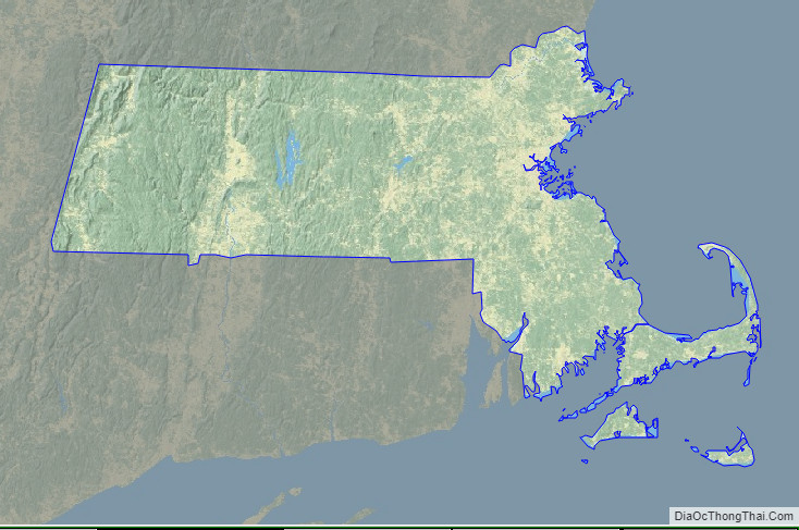
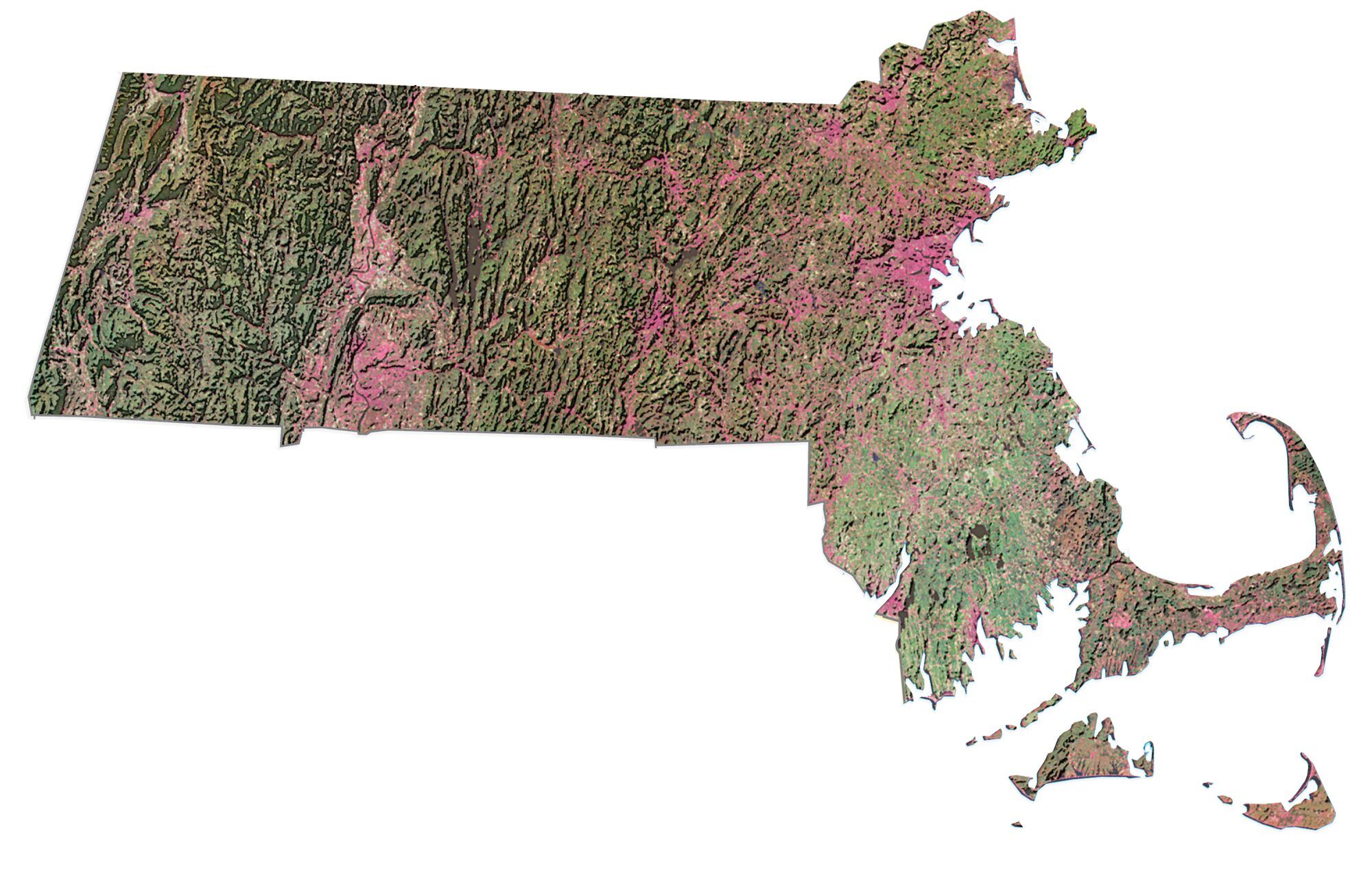
Massachusetts Satellite Map
Others printable maps
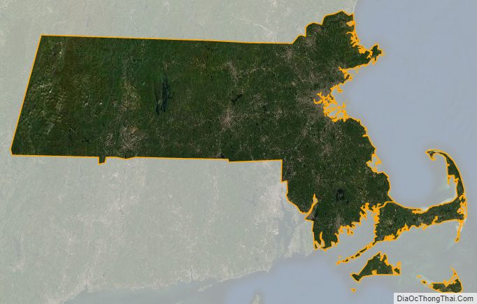
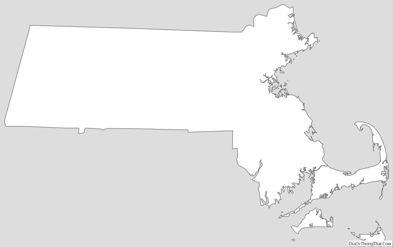
Massachusetts Outline Map
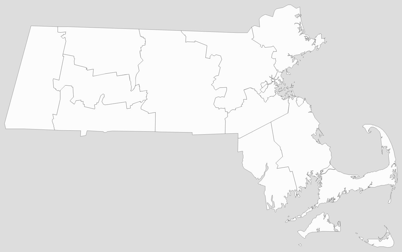
Blank Massachusetts County Map
See also
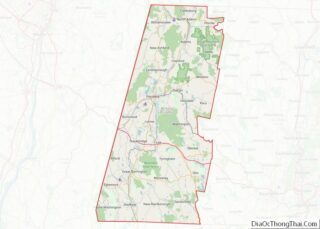
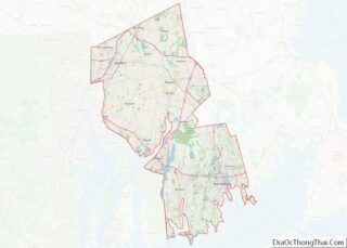
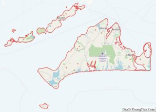
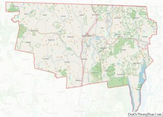
Map of Massachusetts State and its subdivision: Map of other states:- Alabama
- Alaska
- Arizona
- Arkansas
- California
- Colorado
- Connecticut
- Delaware
- District of Columbia
- Florida
- Georgia
- Hawaii
- Idaho
- Illinois
- Indiana
- Iowa
- Kansas
- Kentucky
- Louisiana
- Maine
- Maryland
- Massachusetts
- Michigan
- Minnesota
- Mississippi
- Missouri
- Montana
- Nebraska
- Nevada
- New Hampshire
- New Jersey
- New Mexico
- New York
- North Carolina
- North Dakota
- Ohio
- Oklahoma
- Oregon
- Pennsylvania
- Rhode Island
- South Carolina
- South Dakota
- Tennessee
- Texas
- Utah
- Vermont
- Virginia
- Washington
- West Virginia
- Wisconsin
- Wyoming