Swanton is a town in Franklin County, Vermont, United States. The population was 6,701 at the 2020 census. The town includes the village of Swanton.
| Name: | Swanton village |
|---|---|
| LSAD Code: | 47 |
| LSAD Description: | village (suffix) |
| State: | Vermont |
| County: | Franklin County |
| Elevation: | 150 ft (50 m) |
| Total Area: | 61.7 sq mi (159.7 km²) |
| Land Area: | 48.0 sq mi (124.4 km²) |
| Water Area: | 13.6 sq mi (35.3 km²) |
| Total Population: | 6,701 |
| Population Density: | 110/sq mi (42/km²) |
| ZIP code: | 05488 |
| Area code: | 802 |
| FIPS code: | 5071650 |
| GNISfeature ID: | 1462225 |
| Website: | townofswantonvermont.weebly.com |
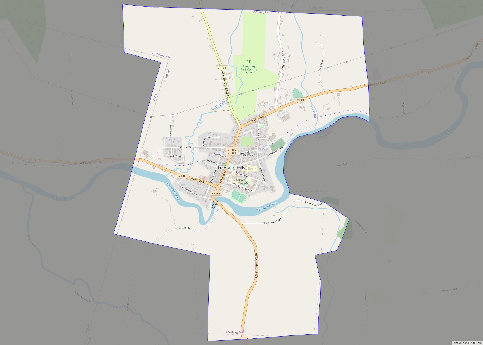
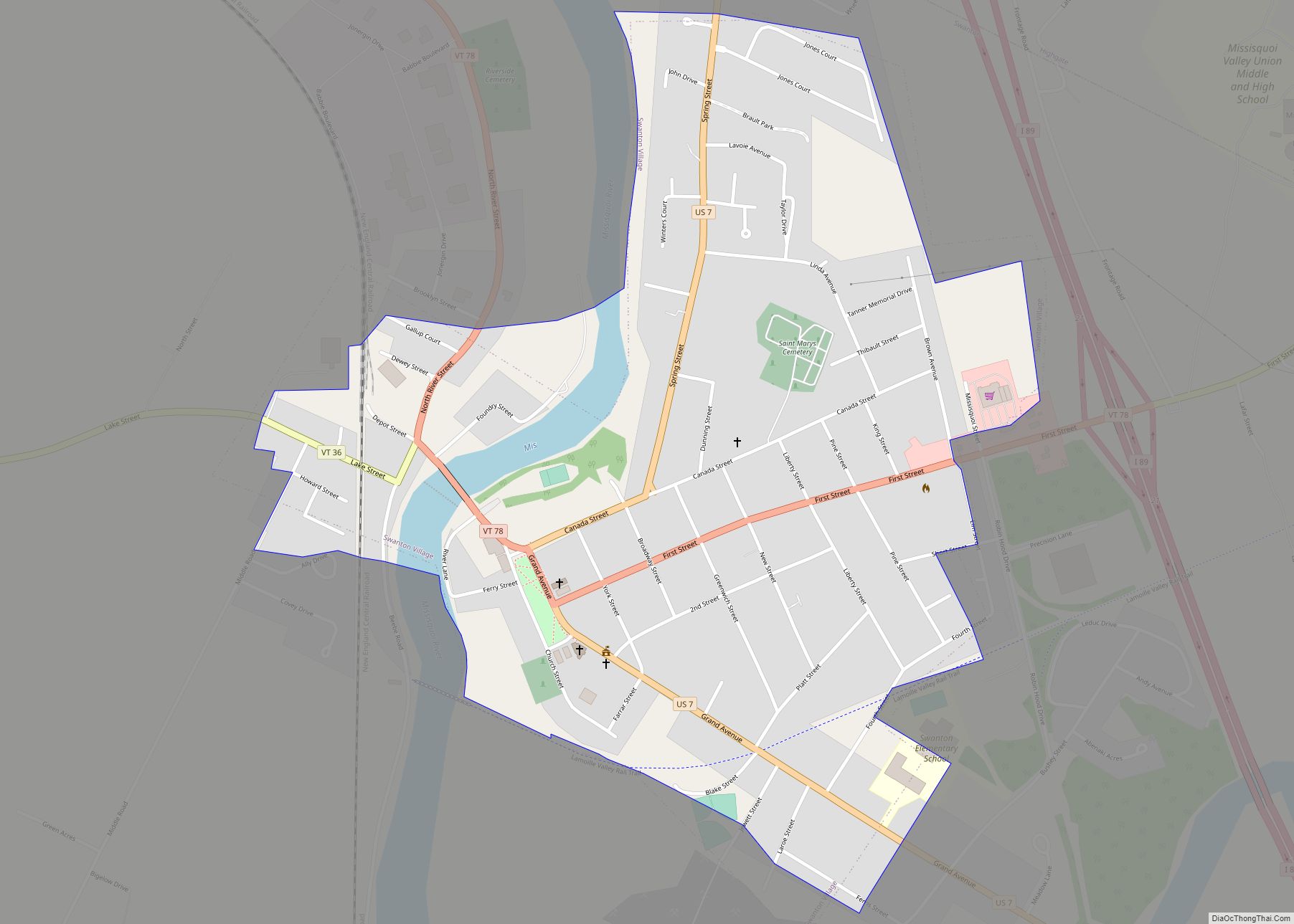
Online Interactive Map
Click on ![]() to view map in "full screen" mode.
to view map in "full screen" mode.
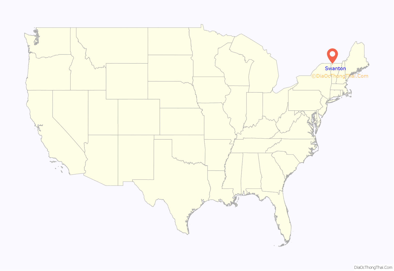
Swanton location map. Where is Swanton village?

History
The town of Swanton was chartered in 1763 as one of the New Hampshire Grants by Benning Wentworth, the governor of the Province of New Hampshire. It was named for Captain William Swanton, an officer in the British Army who had traveled through the area during the French and Indian War.
There were French land grants in the area beginning in 1734, and small French settlements including a Catholic mission in what is now Swanton from as early as 1740, when settlers in Quebec used a water route from Quebec City and Montreal to reach the banks of the Missisquoi River near what are now known as Swanton Falls.
None of the original grantees who received the charter from Governor Wentworth settled or resided in Swanton, opting instead to sell or trade their shares. Because of its proximity to the border with New France, and later the Province of Quebec, it was not populated by anyone from the British colonies in the 1760s and 1770s, the newly independent United States in the 1770s and 1780s, or the Vermont Republic in the early 1780s. As late as 1786, Ira Allen owned 59 of the original 64 shares.
In 2013, human artifacts dating from 7,000 years ago were found near the Missisquoi River, including a Neville-type stone object that might have been attached to a spear.
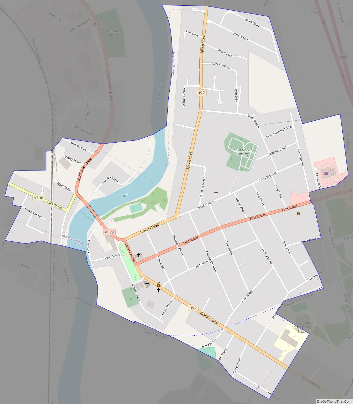
Swanton Road Map
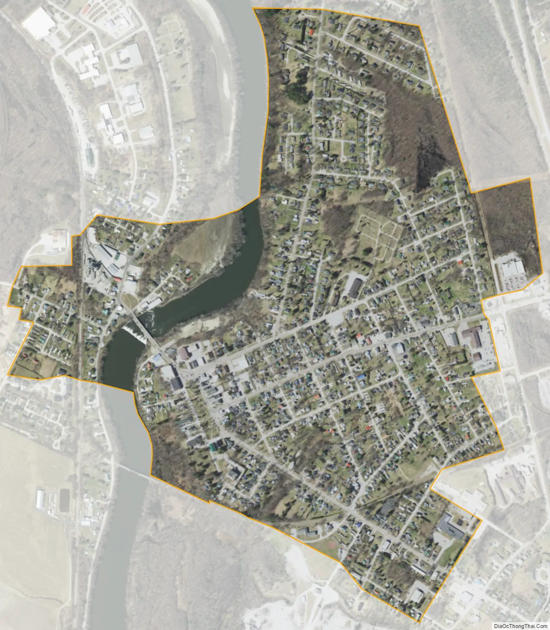
Swanton city Satellite Map
Geography
Swanton is located in western Franklin County, bordered on the west by Lake Champlain and Grand Isle County. The town limits extend northwest to the Canada–United States border within Missisquoi Bay, west of Highgate. St. Albans, the Franklin County seat, is to the south.
Interstate 89 and U.S. Route 7 run more or less parallel in a north-south direction through the town, with US 7 passing through the village of Swanton and I-89 providing access from Exit 21 just east of the village. Vermont Route 78 crosses US 7 in the center of Swanton village, leading east to Enosburg Falls and west across Lake Champlain to Alburg. Vermont Route 36 leads west from Swanton village to Lake Champlain, then turns south along the shore to St. Albans Bay. Vermont Route 207 runs north-south across the town east of I-89, connecting Highgate Center to the north with St. Albans to the south. Vermont Route 105 crosses the east end of the town, leading northeast to Enosburg Falls and southwest to St. Albans.
According to the United States Census Bureau, the town has a total area of 61.7 square miles (159.7 km), of which 48.0 square miles (124.4 km) is land and 13.6 square miles (35.3 km), or 22.11%, is water.
The village of Swanton is in the north-central part of the town, and the community of Fonda is in the south-central part. Both communities are along US 7. A large portion of the Missisquoi National Wildlife Refuge, where the Missisquoi River enters Lake Champlain, is in the northwestern part of the town.
See also
Map of Vermont State and its subdivision: Map of other states:- Alabama
- Alaska
- Arizona
- Arkansas
- California
- Colorado
- Connecticut
- Delaware
- District of Columbia
- Florida
- Georgia
- Hawaii
- Idaho
- Illinois
- Indiana
- Iowa
- Kansas
- Kentucky
- Louisiana
- Maine
- Maryland
- Massachusetts
- Michigan
- Minnesota
- Mississippi
- Missouri
- Montana
- Nebraska
- Nevada
- New Hampshire
- New Jersey
- New Mexico
- New York
- North Carolina
- North Dakota
- Ohio
- Oklahoma
- Oregon
- Pennsylvania
- Rhode Island
- South Carolina
- South Dakota
- Tennessee
- Texas
- Utah
- Vermont
- Virginia
- Washington
- West Virginia
- Wisconsin
- Wyoming