| Name: | Fulton County |
|---|---|
| FIPS code: | 39-051 |
| State: | Ohio |
| Founded: | April 1, 1850 |
| Named for: | Robert Fulton |
| Seat: | Wauseon |
| Largest city: | Wauseon |
| Total Area: | 407 sq mi (1,050 km²) |
| Land Area: | 405 sq mi (1,050 km²) |
| Total Population: | 42,713 |
| Population Density: | 100/sq mi (40/km²) |
| Time zone: | UTC−5 (Eastern) |
| Summer Time Zone (DST): | UTC−4 (EDT) |
| Website: | www.fultoncountyoh.com |
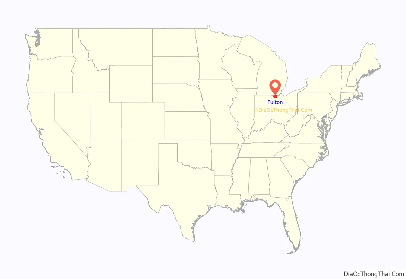
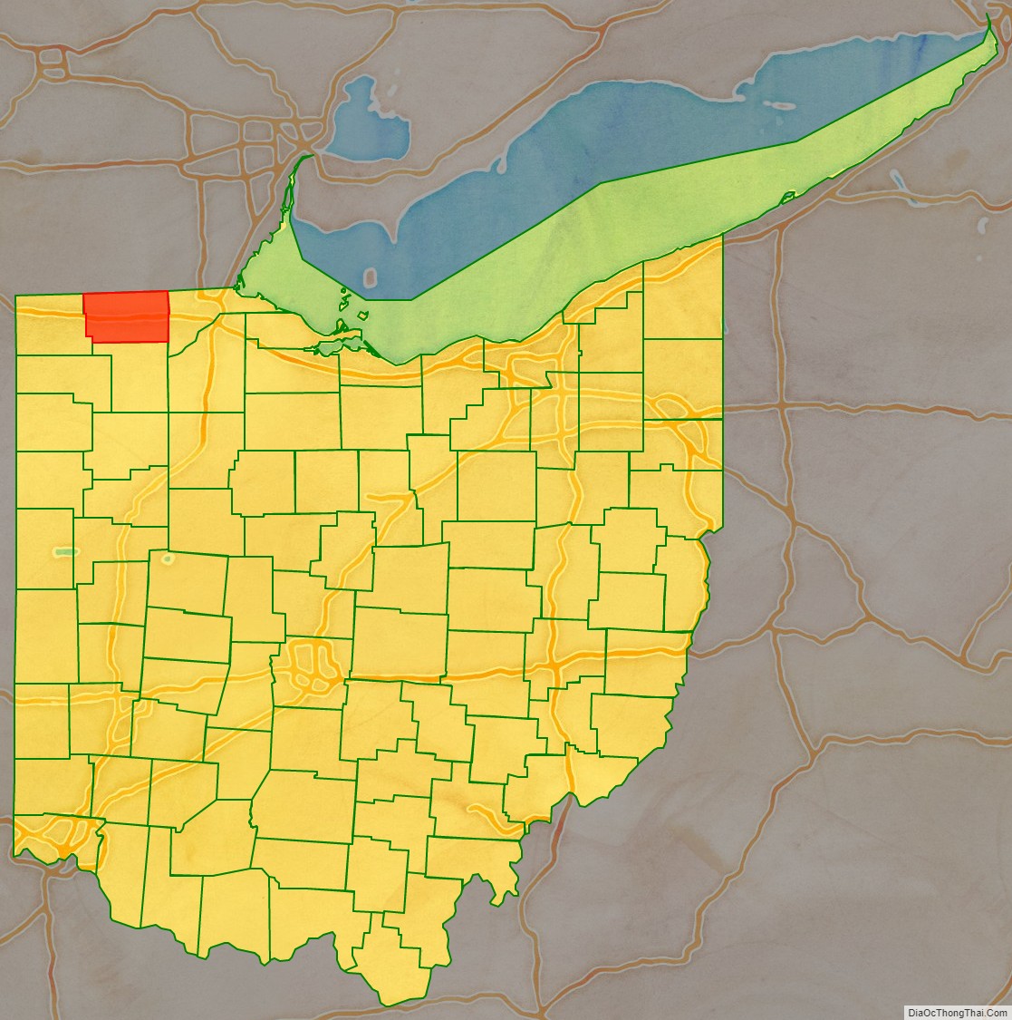
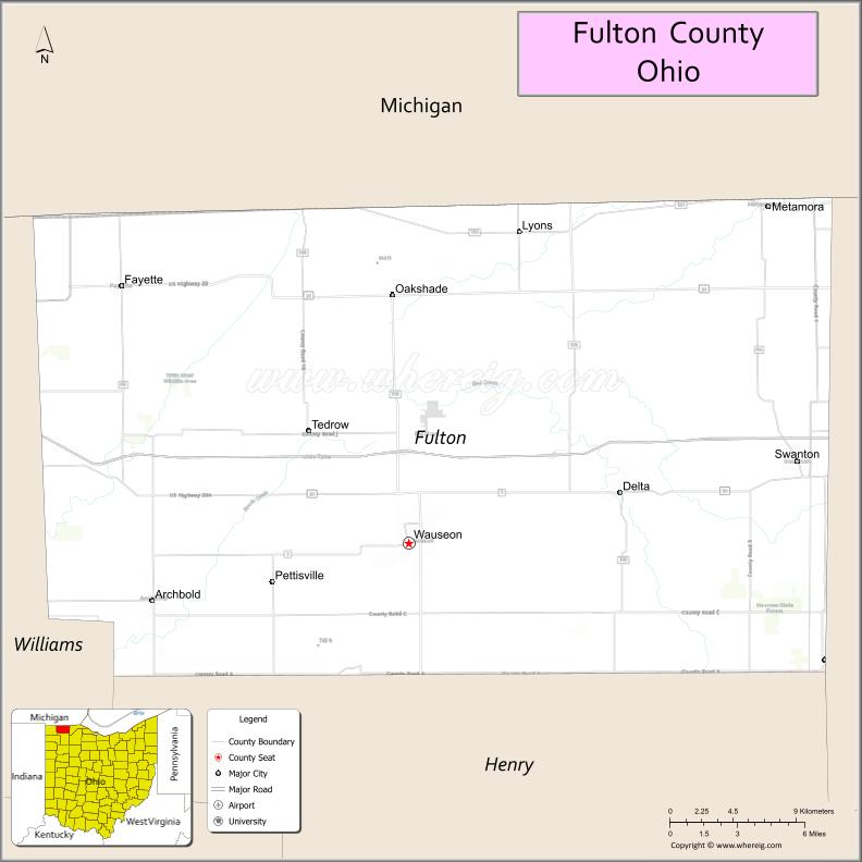
Fulton County location map. Where is Fulton County?
History
The first seat of justice in Fulton County was Ottokee, located there because of its central location in the county. A wooden courthouse was built in 1851.
However, a railroad was built further south. Wauseon sprung up in 1854 when the railroad was extended to that point, and incorporated in 1859. With the commercial success that the railroad brought to Wauseon, the citizens of the county voted to move the county seat to Wauseon in 1871. The Fulton County Courthouse was built in 1872.
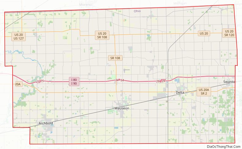
Fulton County Road Map
Geography
According to the U.S. Census Bureau, the county has a total area of 407 square miles (1,050 km), of which 405 square miles (1,050 km) is land and 1.8 square miles (4.7 km) (0.4%) is water.
Adjacent counties
- Lenawee County, Michigan (north)
- Lucas County (east)
- Henry County (south)
- Williams County (west)
- Hillsdale County, Michigan (northwest)
Protected Areas
- Fulton Pond Wildlife Area
- Goll Woods State Nature Preserve
- Harrison Lake State Park
- Maumee State Forest
- Tiffin River Wildlife Area
- Wabash Cannonball Trail
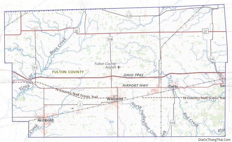
Fulton County Topographic Map
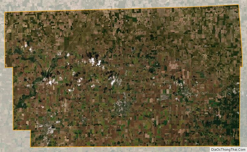
Fulton County Satellite Map
Fulton County Outline Map