Wauseon (/ˈwɔːsiɒn/ WAW-see-on) is a city in and the county seat of Fulton County, Ohio, approximately 31 mi (51 km) west of Toledo. The population was 7,332 at the time of the 2010 census.
| Name: | Wauseon city |
|---|---|
| LSAD Code: | 25 |
| LSAD Description: | city (suffix) |
| State: | Ohio |
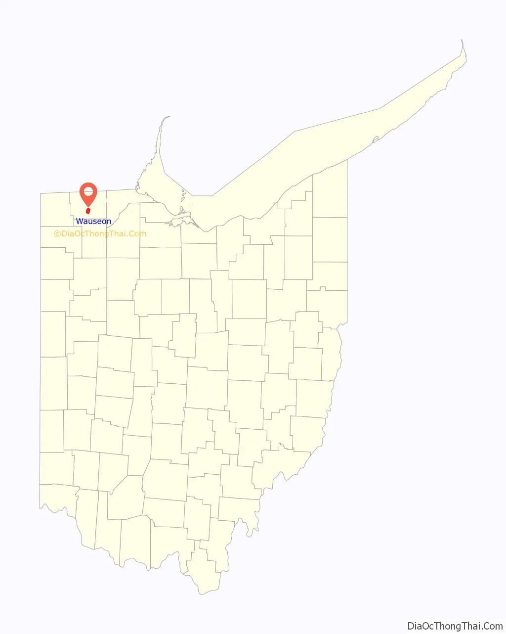
| County: | Fulton County |
| Elevation: | 771 ft (235 m) |
| Total Area: | 5.35 sq mi (13.85 km²) |
| Land Area: | 5.32 sq mi (13.78 km²) |
| Water Area: | 0.03 sq mi (0.07 km²) |
| Total Population: | 7,568 |
| Population Density: | 1,422.56/sq mi (549.28/km²) |
| ZIP code: | 43567 |
| Area code: | 419 and 567 |
| FIPS code: | 3981928 |
| GNISfeature ID: | 1047628 |
| Website: | www.cityofwauseon.com |
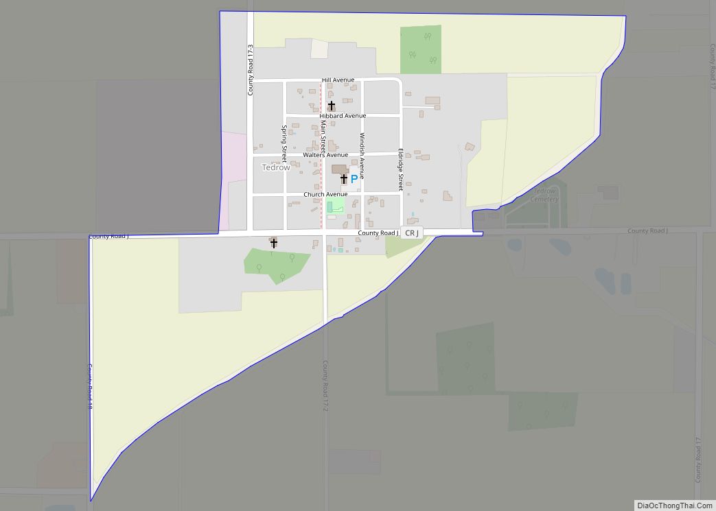
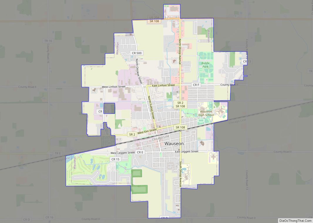
Online Interactive Map
Click on ![]() to view map in "full screen" mode.
to view map in "full screen" mode.
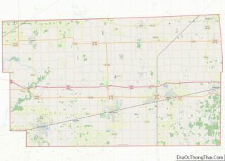
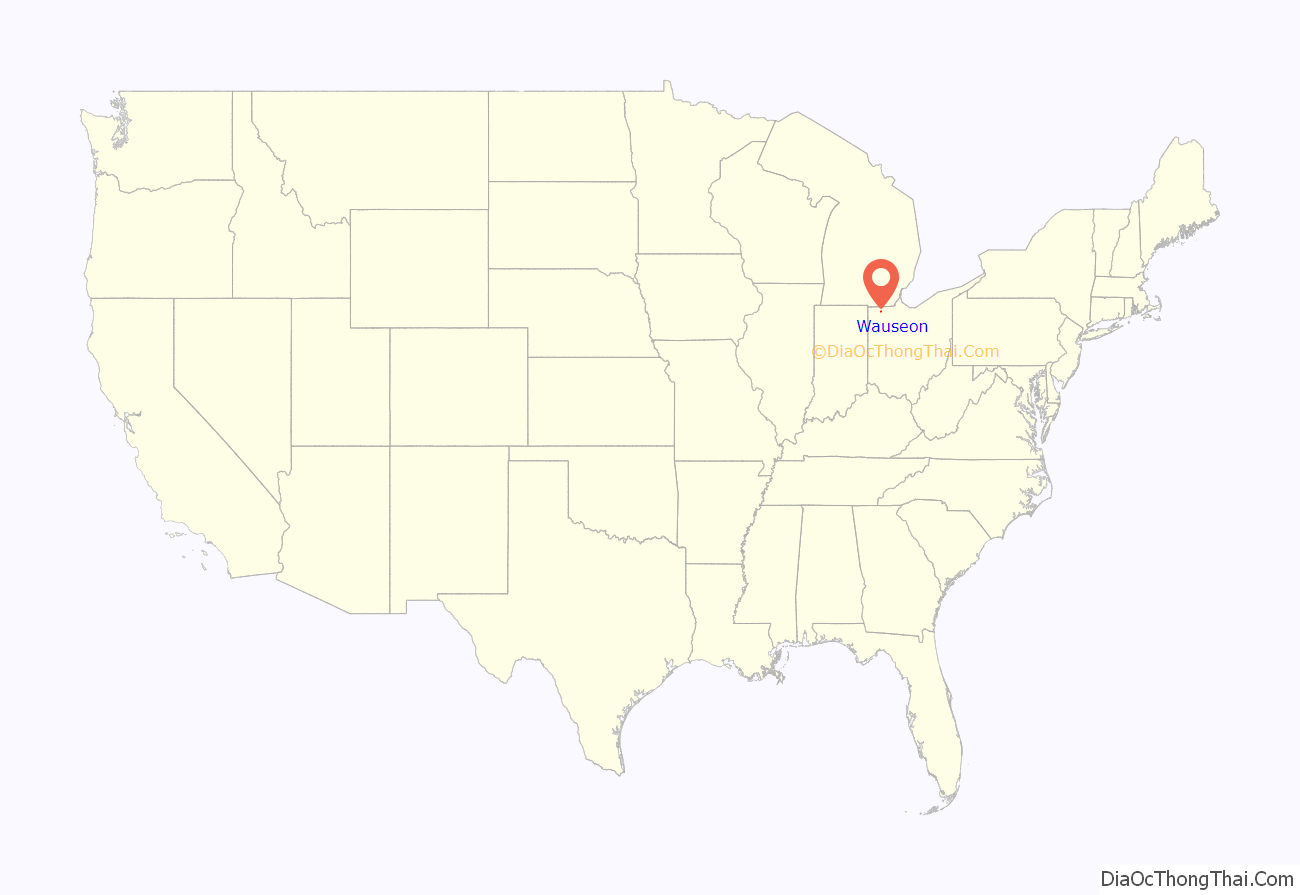
Wauseon location map. Where is Wauseon city?
History
Wauseon was platted 1853 when the Michigan Southern Air Railway was extended to that point. Land speculators bought 160 acres of land, which would become the City of Wauseon. The original name for the city was “Litchfield” after Litchfield, New York, where many of the city’s new settlers had emigrated from. However, Hortensia Hayes, the daughter of an early settler, suggested that the new village be named after an Ottawa Tribe Chief named Wauseon, who was forced by the federal government to forfeit their land, before moving to Oklahoma in 1839. The village was incorporated in 1859. With the commercial success that the railroad brought, Wauseon would grow larger than the original seat of Fulton County (Ottokee), and in 1869 Wauseon was named the county seat. The Fulton County Courthouse was built in 1871.
Between 1901 and 1939, the community was served by the Toledo and Indiana Railway, an interurban between Toledo and Bryan, Ohio. The construction of the Ohio Turnpike in the mid 20th century also helped lead to the commercial growth of Wauseon.
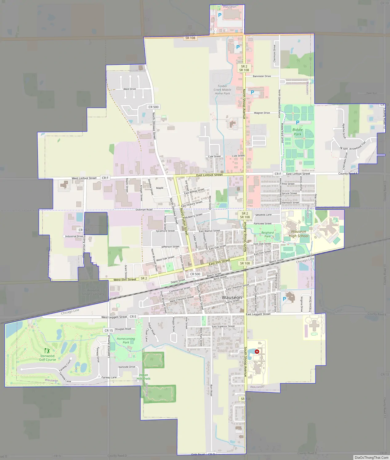
Wauseon Road Map
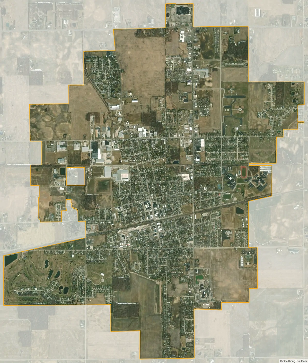
Wauseon city Satellite Map
Geography
Wauseon is located at 41°33′8″N 84°8′21″W / 41.55222°N 84.13917°W / 41.55222; -84.13917 (41.552230, -84.139126).
According to the United States Census Bureau, the city has a total area of 5.19 square miles (13.44 km), of which 5.17 square miles (13.39 km) is land and 0.02 square miles (0.05 km) is water.
See also
Map of Ohio State and its subdivision:- Adams
- Allen
- Ashland
- Ashtabula
- Athens
- Auglaize
- Belmont
- Brown
- Butler
- Carroll
- Champaign
- Clark
- Clermont
- Clinton
- Columbiana
- Coshocton
- Crawford
- Cuyahoga
- Darke
- Defiance
- Delaware
- Erie
- Fairfield
- Fayette
- Franklin
- Fulton
- Gallia
- Geauga
- Greene
- Guernsey
- Hamilton
- Hancock
- Hardin
- Harrison
- Henry
- Highland
- Hocking
- Holmes
- Huron
- Jackson
- Jefferson
- Knox
- Lake
- Lake Erie
- Lawrence
- Licking
- Logan
- Lorain
- Lucas
- Madison
- Mahoning
- Marion
- Medina
- Meigs
- Mercer
- Miami
- Monroe
- Montgomery
- Morgan
- Morrow
- Muskingum
- Noble
- Ottawa
- Paulding
- Perry
- Pickaway
- Pike
- Portage
- Preble
- Putnam
- Richland
- Ross
- Sandusky
- Scioto
- Seneca
- Shelby
- Stark
- Summit
- Trumbull
- Tuscarawas
- Union
- Van Wert
- Vinton
- Warren
- Washington
- Wayne
- Williams
- Wood
- Wyandot
- Alabama
- Alaska
- Arizona
- Arkansas
- California
- Colorado
- Connecticut
- Delaware
- District of Columbia
- Florida
- Georgia
- Hawaii
- Idaho
- Illinois
- Indiana
- Iowa
- Kansas
- Kentucky
- Louisiana
- Maine
- Maryland
- Massachusetts
- Michigan
- Minnesota
- Mississippi
- Missouri
- Montana
- Nebraska
- Nevada
- New Hampshire
- New Jersey
- New Mexico
- New York
- North Carolina
- North Dakota
- Ohio
- Oklahoma
- Oregon
- Pennsylvania
- Rhode Island
- South Carolina
- South Dakota
- Tennessee
- Texas
- Utah
- Vermont
- Virginia
- Washington
- West Virginia
- Wisconsin
- Wyoming