Archbold is a village in Fulton County, Ohio, United States. The population was 4,346 at the 2010 census.
Archbold is home to Northwest State Community College. It was designated a Tree City USA by the National Arbor Day Foundation in 1983.
| Name: | Archbold village |
|---|---|
| LSAD Code: | 47 |
| LSAD Description: | village (suffix) |
| State: | Ohio |
| County: | Fulton County |
| Founded: | 1866 |
| Elevation: | 732 ft (223 m) |
| Total Area: | 5.05 sq mi (13.09 km²) |
| Land Area: | 4.93 sq mi (12.77 km²) |
| Water Area: | 0.12 sq mi (0.32 km²) |
| Total Population: | 4,516 |
| Population Density: | 916.02/sq mi (353.65/km²) |
| ZIP code: | 43502 |
| FIPS code: | 3902344 |
| GNISfeature ID: | 1064339 |
| Website: | http://www.Archbold.com |
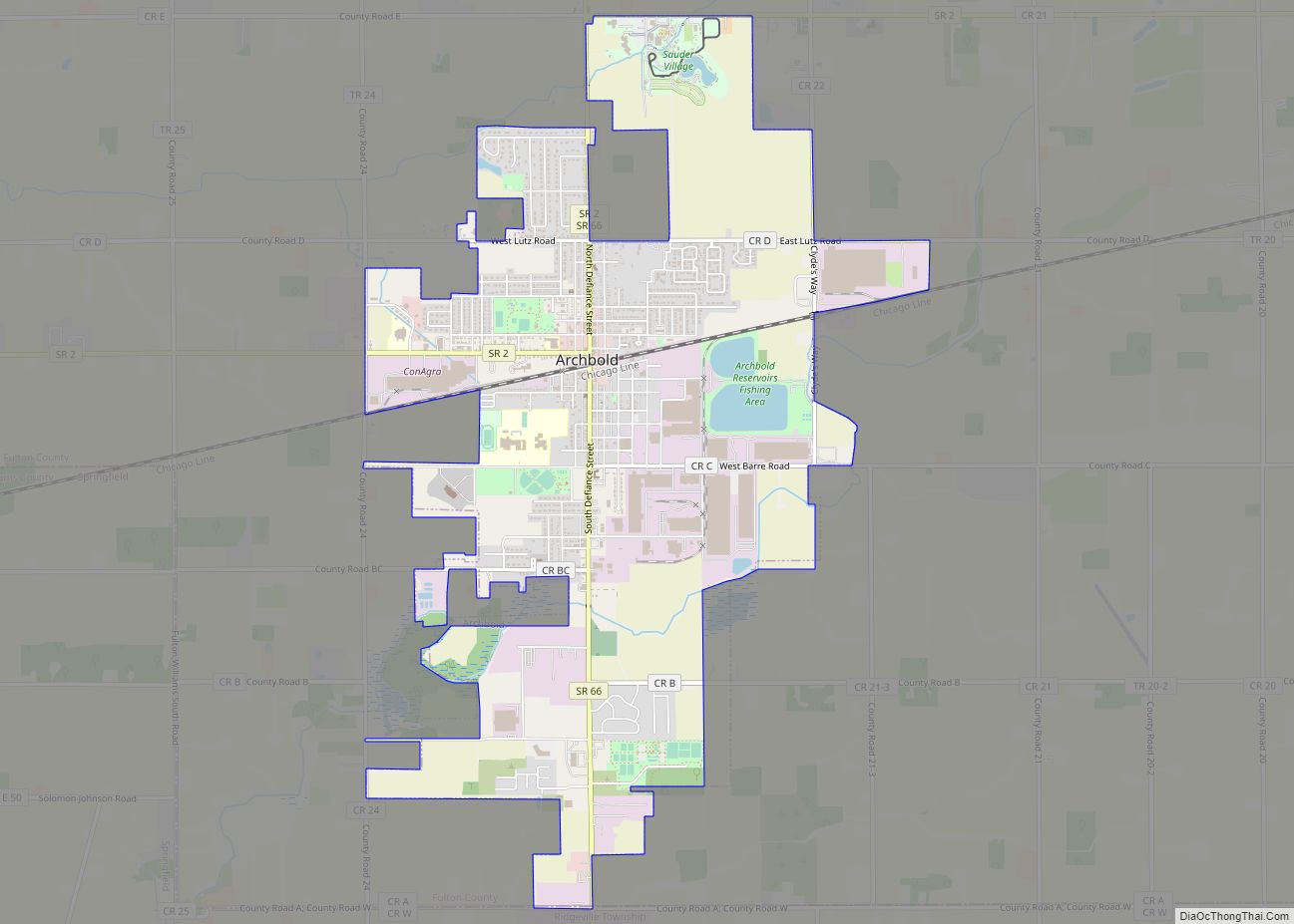
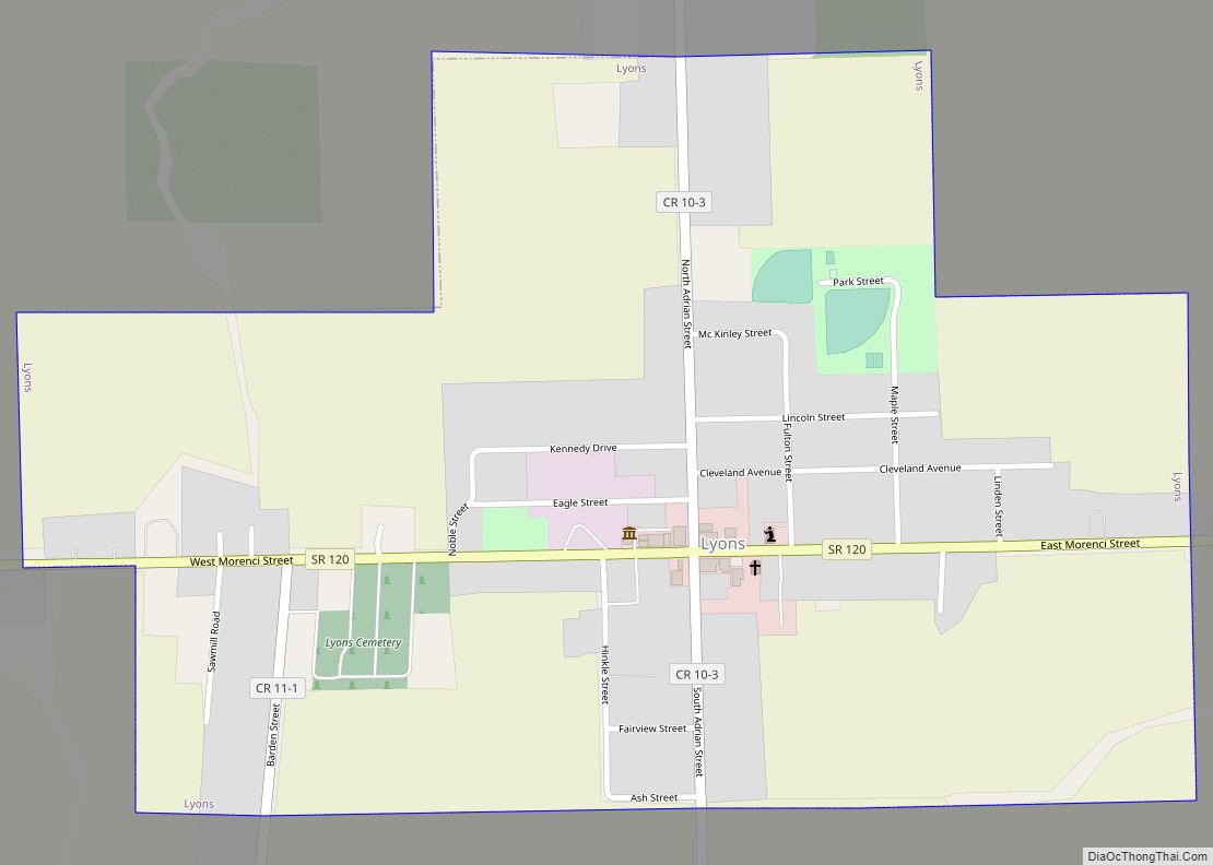
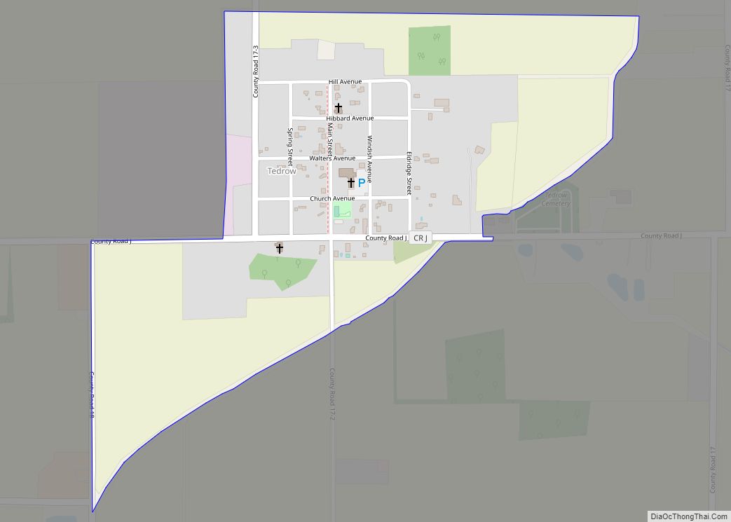
Online Interactive Map
Click on ![]() to view map in "full screen" mode.
to view map in "full screen" mode.
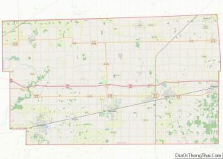
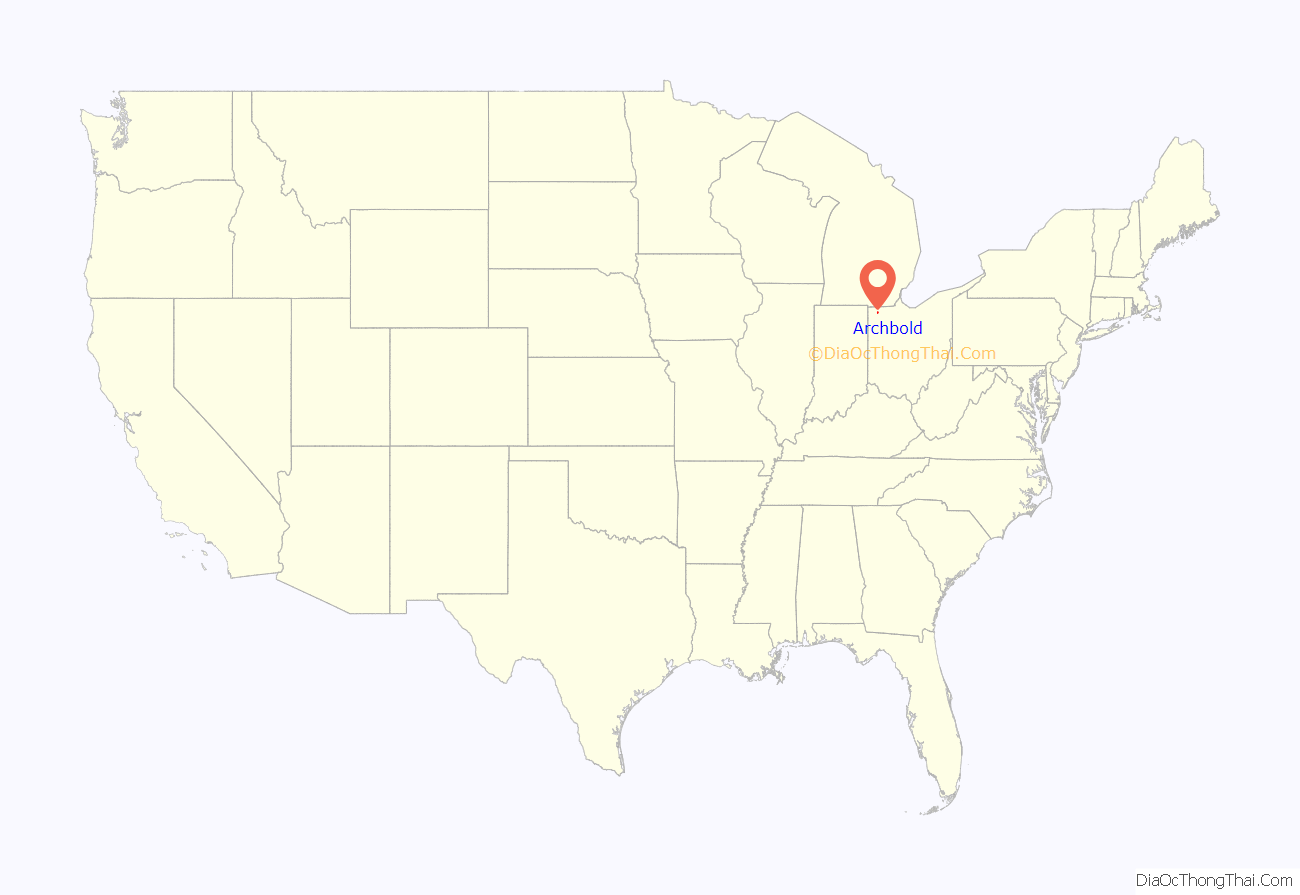
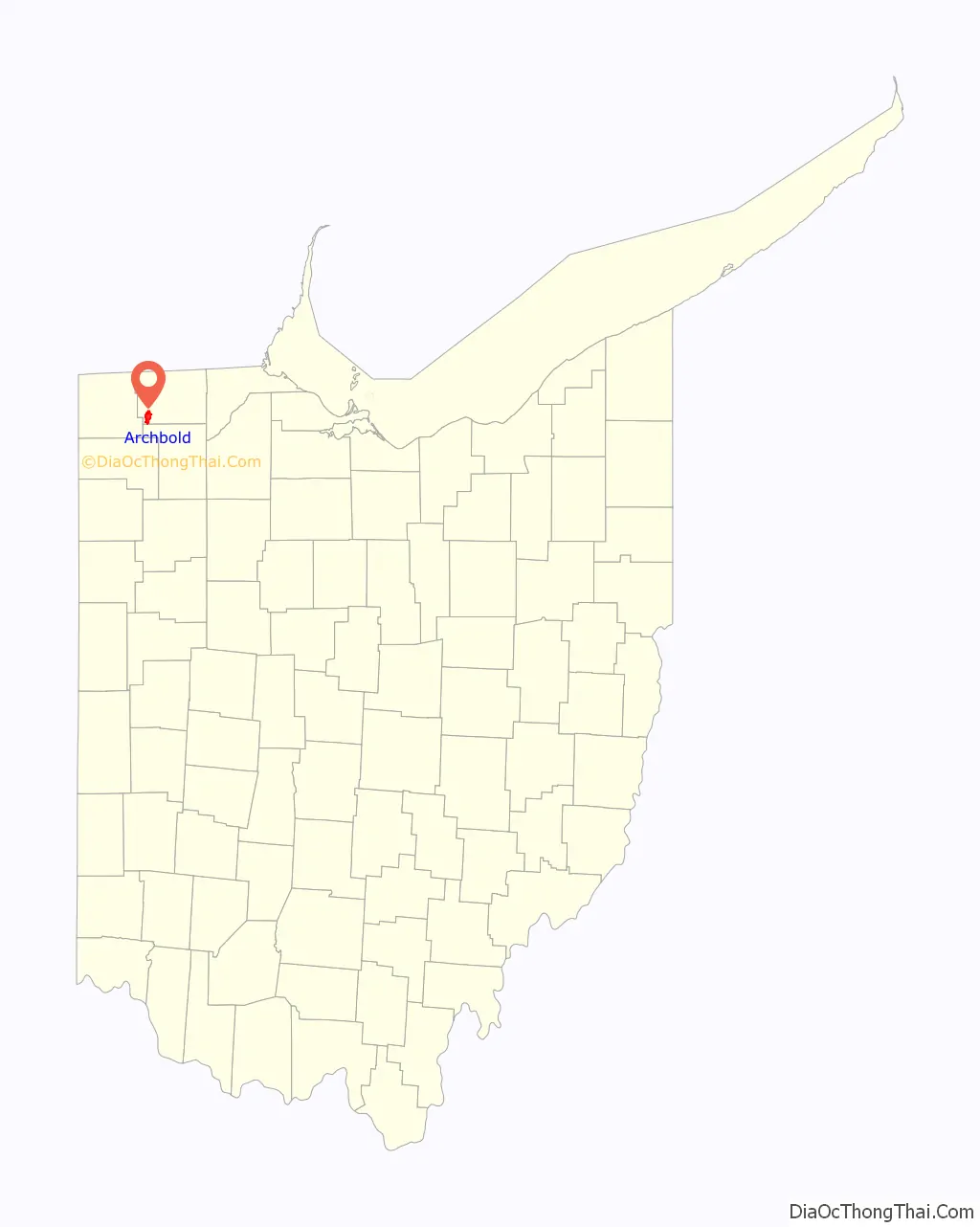
Archbold location map. Where is Archbold village?
History
Archbold was founded in 1855 when the railroad was extended to that point. The village was probably named for John Archbald, a railroad promoter, though another tradition is that the name is an amalgamation of Arch and Bald, two other railroad officials. A post office called Archbold has been in operation since 1855.
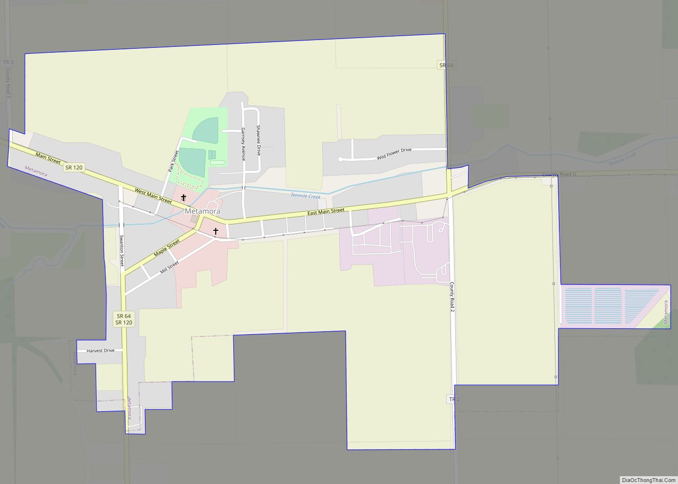
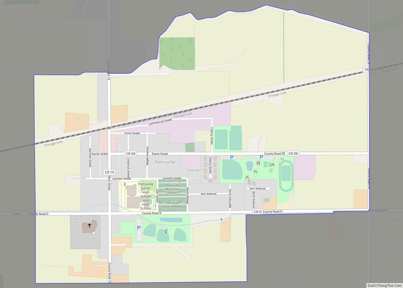
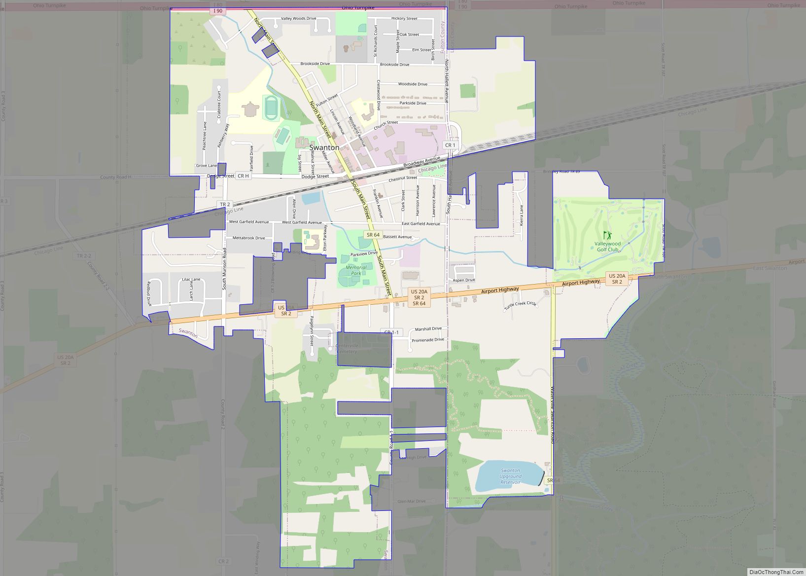
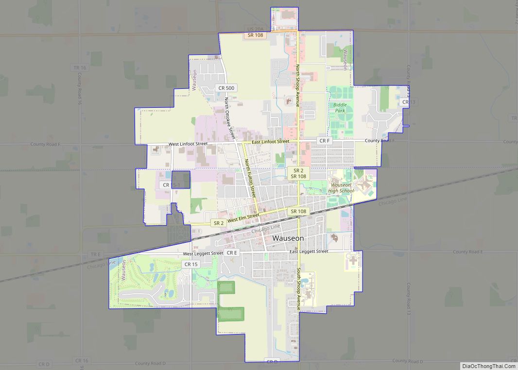
Archbold Road Map

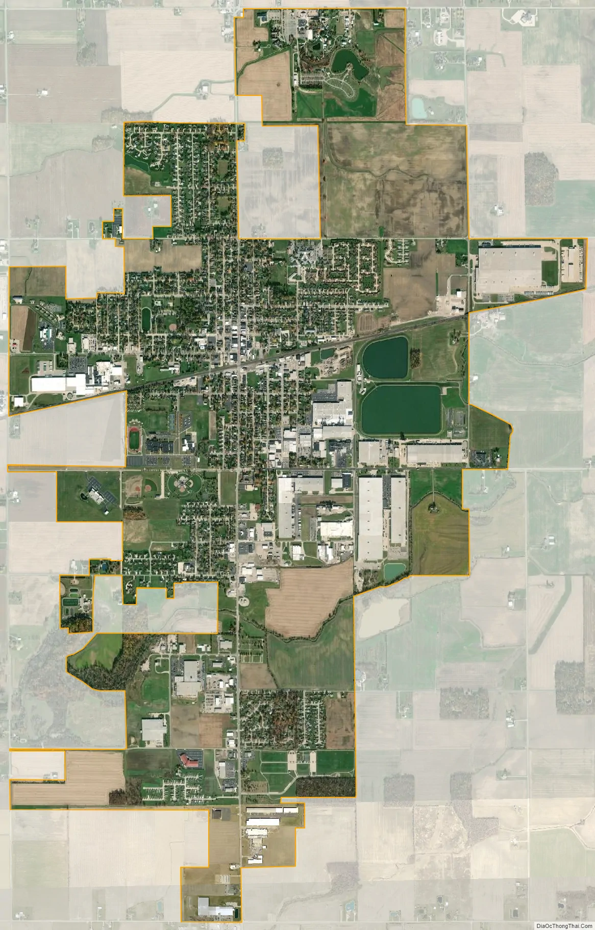
Archbold city Satellite Map
Geography
Archbold is located at 41°31′6″N 84°18′20″W / 41.51833°N 84.30556°W / 41.51833; -84.30556 (41.518290, -84.305483).
According to the United States Census Bureau, the village has a total area of 5.07 square miles (13.13 km), of which, 4.93 square miles (12.77 km) is land and 0.14 square miles (0.36 km) is water.
See also
Map of Ohio State and its subdivision:- Adams
- Allen
- Ashland
- Ashtabula
- Athens
- Auglaize
- Belmont
- Brown
- Butler
- Carroll
- Champaign
- Clark
- Clermont
- Clinton
- Columbiana
- Coshocton
- Crawford
- Cuyahoga
- Darke
- Defiance
- Delaware
- Erie
- Fairfield
- Fayette
- Franklin
- Fulton
- Gallia
- Geauga
- Greene
- Guernsey
- Hamilton
- Hancock
- Hardin
- Harrison
- Henry
- Highland
- Hocking
- Holmes
- Huron
- Jackson
- Jefferson
- Knox
- Lake
- Lake Erie
- Lawrence
- Licking
- Logan
- Lorain
- Lucas
- Madison
- Mahoning
- Marion
- Medina
- Meigs
- Mercer
- Miami
- Monroe
- Montgomery
- Morgan
- Morrow
- Muskingum
- Noble
- Ottawa
- Paulding
- Perry
- Pickaway
- Pike
- Portage
- Preble
- Putnam
- Richland
- Ross
- Sandusky
- Scioto
- Seneca
- Shelby
- Stark
- Summit
- Trumbull
- Tuscarawas
- Union
- Van Wert
- Vinton
- Warren
- Washington
- Wayne
- Williams
- Wood
- Wyandot
- Alabama
- Alaska
- Arizona
- Arkansas
- California
- Colorado
- Connecticut
- Delaware
- District of Columbia
- Florida
- Georgia
- Hawaii
- Idaho
- Illinois
- Indiana
- Iowa
- Kansas
- Kentucky
- Louisiana
- Maine
- Maryland
- Massachusetts
- Michigan
- Minnesota
- Mississippi
- Missouri
- Montana
- Nebraska
- Nevada
- New Hampshire
- New Jersey
- New Mexico
- New York
- North Carolina
- North Dakota
- Ohio
- Oklahoma
- Oregon
- Pennsylvania
- Rhode Island
- South Carolina
- South Dakota
- Tennessee
- Texas
- Utah
- Vermont
- Virginia
- Washington
- West Virginia
- Wisconsin
- Wyoming