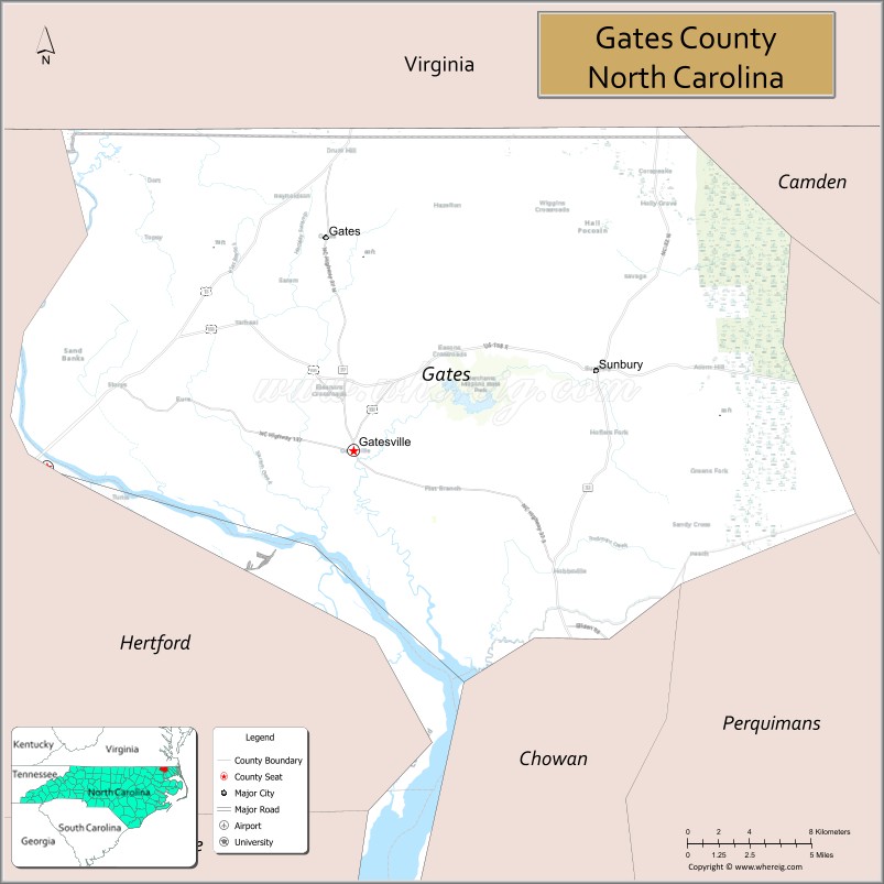
Gates County is a county located in the northeastern portion of the U.S. state of North Carolina, on the border with Virginia. As of the 2020 census, the population was 10,478. Its county seat is Gatesville. Gates County is included in the Virginia Beach-Norfolk-Newport News, VA-NC Metropolitan Statistical Area. It is part of the Albemarle Sound area of the Inner Banks.
| Name: | Gates County |
|---|---|
| FIPS code: | 37-073 |
| State: | North Carolina |
| Founded: | 1779 |
| Named for: | General Horatio Gates |
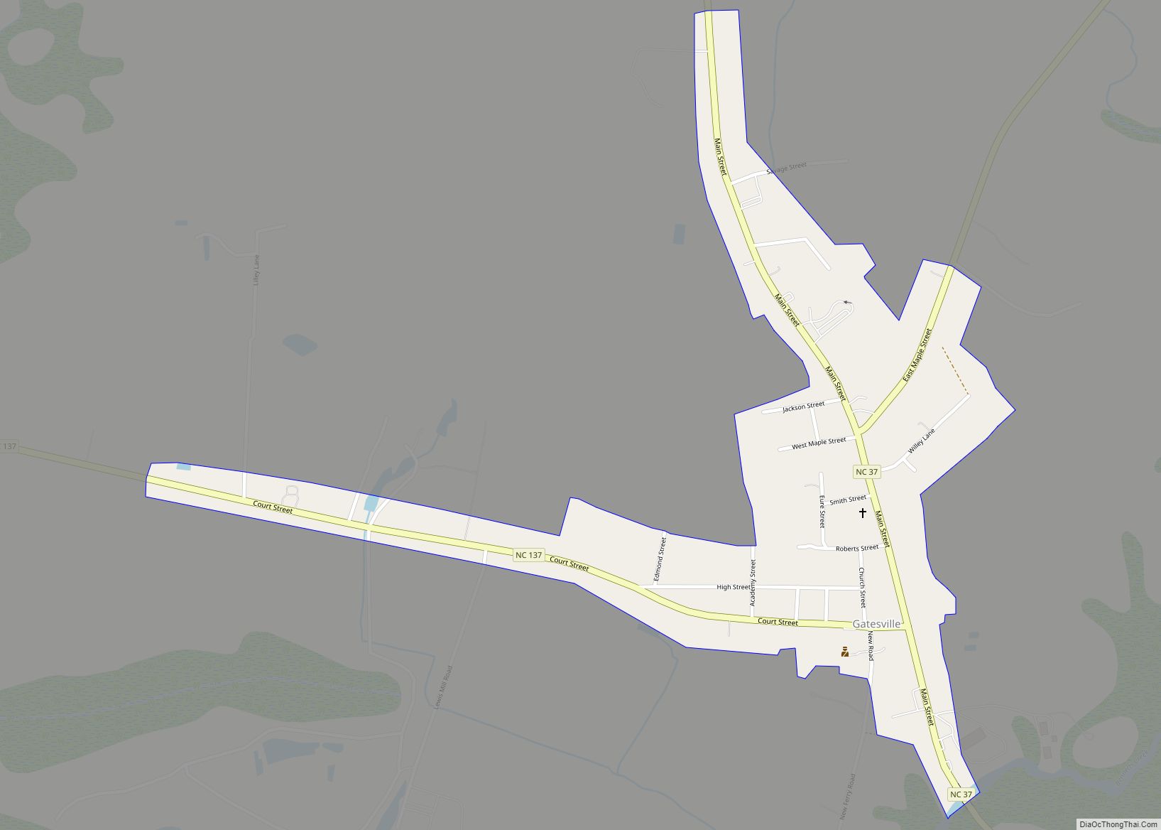
| Seat: | Gatesville |
| Largest town: | Gatesville |
| Total Area: | 346 sq mi (900 km²) |
| Land Area: | 340 sq mi (900 km²) |
| Total Population: | 10,478 |
| Population Density: | 30/sq mi (12/km²) |
| Time zone: | UTC−5 (Eastern) |
| Summer Time Zone (DST): | UTC−4 (EDT) |
| Website: | gatescountync.gov |
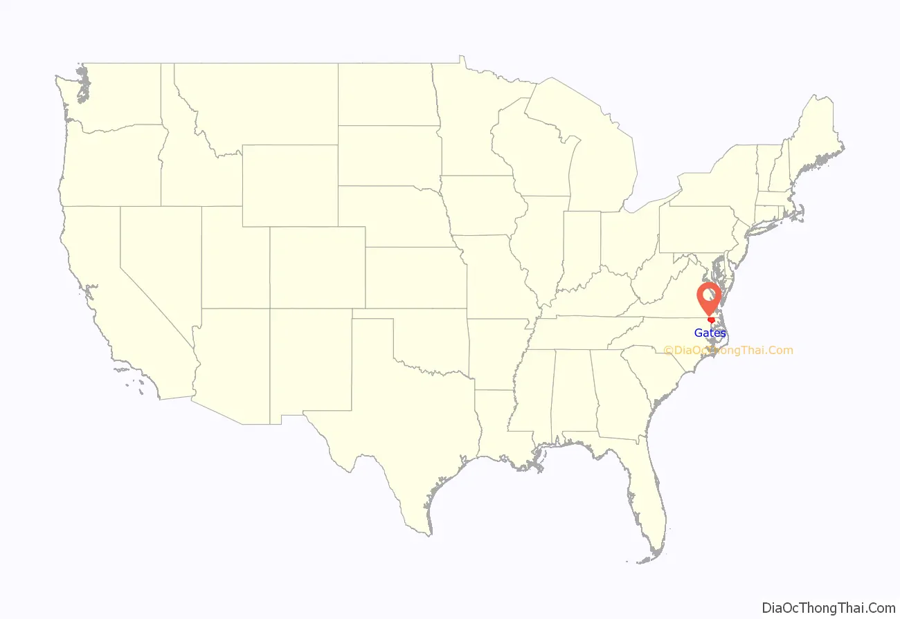
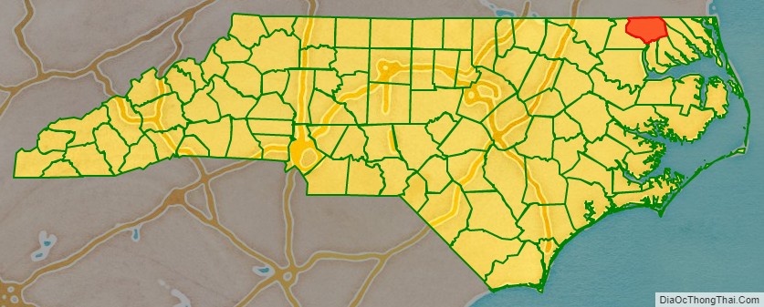
Gates County location map. Where is Gates County?
History
As in other areas along the waterways, Indians lived in this region for thousands of years, with different groups leaving and new ones migrating to settle again. They created settlements, increasingly permanent, along the Chowan River.
At the time of European contact, the Chowanoke were the largest tribe in North Carolina of the many in the Algonquian language family and it occupied most of the territory along the river. After suffering dramatic population decreases by the early 17th century due to infectious diseases from Europe, which they had no immunity to, most of the survivors were pushed out by encroaching Tuscarora, an Iroquoian-speaking tribe.
In 1585, the Ralph Lane Colony explored the Chowan River at least as far up as present-day Winton. In 1622, the John Pory Colony led an expedition from Virginia to the Chowan River. (Pory was secretary of the Province of Virginia.) In 1629, Sir Robert Heath was granted a patent to settle Carolina. This patent embraced Gates County.
The Chowanoke waged war against the encroaching colonists in 1644 but they ultimately lost. During the 1650s, colonists from Virginia began to move increasingly into the Albemarle Sound region. Colonel Drew and Roger Green led an expedition into the Albemarle area. In 1654, Francis Speight was granted a patent for 300 acres (1.2 km) of land near Raynor Swamp. The first English settlement in Gates County was established near Corapeake in 1660. In 1670, Colonel Henry Baker of Nansemond County obtained a grant of land for 2,400 acres (9.7 km) near Buckland. In 1672, Quaker leader George Fox visited Gates County. He described the county as barren.
The Chowanoke renewed their effort to expel the colonists, warring from 1675 to 1677. Following the English defeat of these forces, in 1677 they created a Chowanoke Indian Reservation, the first within the present-day United States. The 11,360-acre reservation was established at the Chowanoke settlement between Bennett’s Creek and Catherine Creek in Gates.
From 1684 to 1722 Gates County was a part of the Chowan precinct. In 1711, the Society for the Propagation of the Gospel established an Anglican school for Chowanoke and other local Indians at Sarum, with a Mr. Marshburn as the teacher. During the 18th century, the Chowanoke lost most of their land, selling off portions to help the tribe survive. Men’s names were recorded in tribal conveyances, and many descendants can trace their ancestry to these families. Some members began to intermarry with other tribes, such as the nearby Meherrin people, as well as Englishmen and Africans.
In 1738, local settlers created a mail route from Suffolk, Virginia to Corapeake and Edenton, North Carolina. The stagecoach route crossed the Chowan River at Barfield.
Gates County was organized in 1779 from parts of Chowan, Hertford, and Perquimans counties. It was named for General Horatio Gates, who had commanded the victorious American colonial forces at the Battle of Saratoga in 1777.
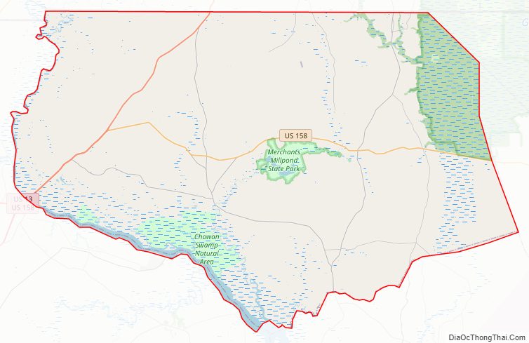
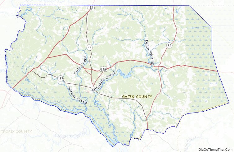
Gates County Road Map
Geography
According to the U.S. Census Bureau, the county has a total area of 346 square miles (900 km), of which 340 square miles (880 km) is land and 5.2 square miles (13 km) (1.5%) is water.
National protected land
The counties of Gates, Perquimans, Camden and Currituck contain sixty percent of the Great Dismal swamp. In 1973, Union Camp donated the land which it owned in the swamp to the Nature Conservancy. The Conservancy next donated the land to the Department of The Interior, and the Great Dismal Swamp National Wildlife Refuge was created. The refuge consists of 107,000 acres (430 km) of swamp and wetlands surrounding Lake Drummond.
State and local protected lands
- Chowan Swamp State Natural Area
- Merchants Millpond State Park
In 1811, the Norfleet family built the first dam at the millpond. At that time, it consisted of around 750 to 1,000 acres (4.0 km) of water. The mill ground corn. In 1856 the Millpond was sold and became known as Williams Millpond.
In 1910, Charles Lawrence purchased the Millpond. It became known as Merchants Millpond. In the 1960s A. B. Coleman purchased the Millpond. In 1973, A.B. Coleman donated 925 acres (3.74 km) of the land to North Carolina under the condition that it was to become a state park. Today Merchants Millpond occupies 3,200 acres (13 km).
Major water body
- Chowan River
Adjacent counties
- City of Suffolk, Virginia – north
- Camden County – northeast
- Pasquotank County – east
- Perquimans County – south
- Chowan County – south
- Hertford County – west
Major highways
- US 13
- US 158
- US 158 Bus.
- NC 32
- NC 37
- NC 137
Gates County Topographic Map
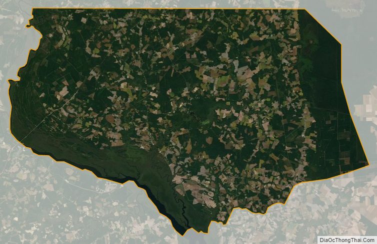
Gates County Satellite Map
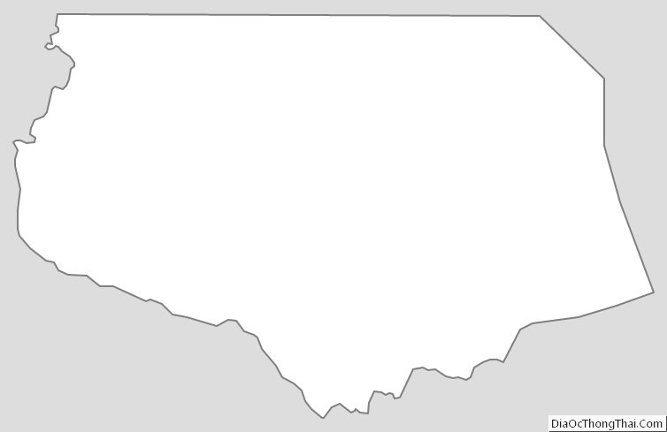
Gates County Outline Map