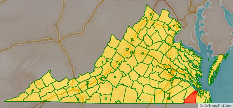
Suffolk is an independent city in the Commonwealth of Virginia, and as such has no county. As of the 2020 census, the population was 94,324. It is the 10th most populous city in Virginia and the largest city in Virginia by boundary land area as well as the 14th largest in the country.
Suffolk is located in the Hampton Roads metropolitan area. This also includes the independent cities of Chesapeake, Hampton, Newport News, Norfolk, Portsmouth, and Virginia Beach, and smaller cities, counties, and towns of Hampton Roads. With miles of waterfront property on the Nansemond and James rivers, present-day Suffolk was formed in 1974 after consolidating with Nansemond County and the towns of Holland and Whaleyville. The current mayor (as of 2021) is Mike Duman.
| Name: | Suffolk City |
|---|---|
| FIPS code: | 51-800 |
| State: | Virginia |
| Founded: | 1742 |
| Land Area: | 399.16 sq mi (1,033.82 km²) |
| Population Density: | 220/sq mi (85/km²) |
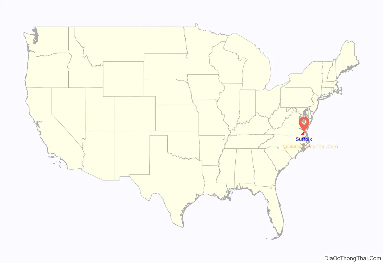
Suffolk City location map. Where is Suffolk City?
History
Prior to colonization, the region was inhabited by the indigenous Nansemond people. The settlement of Suffolk was established in 1742 by Virginian colonists as a port town on the Nansemond River. It was originally named Constant’s Warehouse (for John Constant, one of the first founders of the settlement) before being renamed after Royal Governor of Virginia Sir William Gooch’s home county of the same name in England. During the colonial era, Virginian colonists in the region cultivated tobacco with enslaved labor as a cash crop, before transitioning to mixed farming. Suffolk was designated as the county seat of Nansemond County in 1750.
Early in its history, Suffolk became a land transportation gateway to the areas east of it in South Hampton Roads. Before the American Civil War, both the Portsmouth and Roanoke Railroad and the Norfolk and Petersburg Railroad were built through Suffolk, early predecessors of 21st-century Class 1 railroads operated by CSX Transportation and Norfolk Southern, respectively. Other railroads and later major highways followed after the war.
Suffolk became an incorporated town in 1808. Suffolk became a stop on the Atlantic and Danville Railway in 1890. In 1910, it incorporated as a city and separated from Nansemond County. However, it remained the seat of Nansemond County until 1972, when its former county became the independent city of Nansemond. In 1974, the independent cities of Suffolk and Nansemond merged under Suffolk’s name and charter.
Peanuts grown in the surrounding areas became a major agricultural industry for Suffolk. Notably, Planters’ Peanuts was established in Suffolk beginning in 1912. Suffolk was the ‘birthplace’ of Mr. Peanut, the mascot of Planters’ Peanuts. For many years, the call-letters of local AM radio station WLPM stood for World’s Largest Peanut Market. (WLPM’s license was cancelled in 1996 )
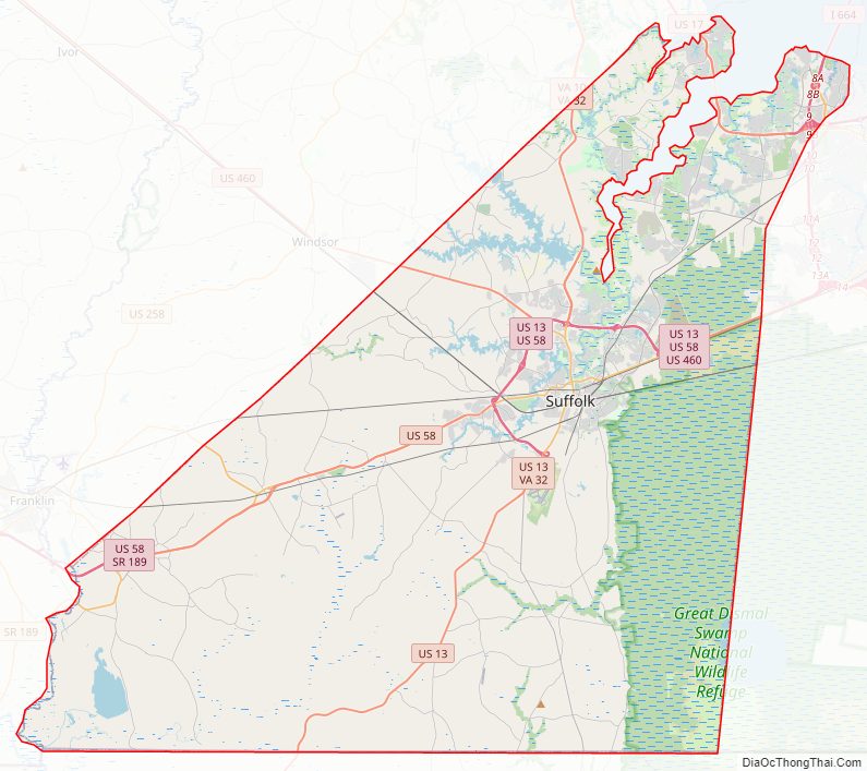
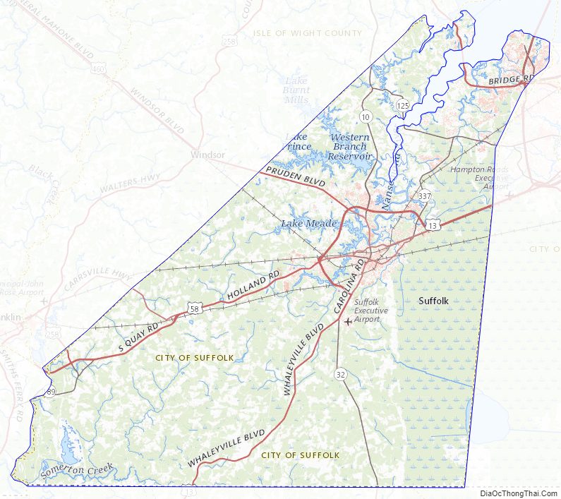
Suffolk City Road Map
Geography
Suffolk is located at 36°44′29″N 76°36′36″W / 36.741347°N 76.609881°W / 36.741347; -76.609881 (36.741347, −76.609881).
According to the United States Census Bureau, the city has a total area of 429 square miles (1,110 km), of which 400 square miles (1,000 km) is land and 29 square miles (75 km) (6.7%) is water. It is the largest city in Virginia by land area and second-largest by total area. Part of the Great Dismal Swamp is located in Suffolk.
Suffolk City Topographic Map
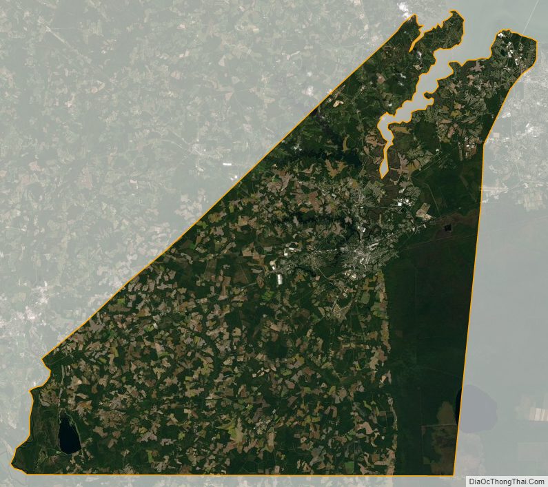
Suffolk City Satellite Map
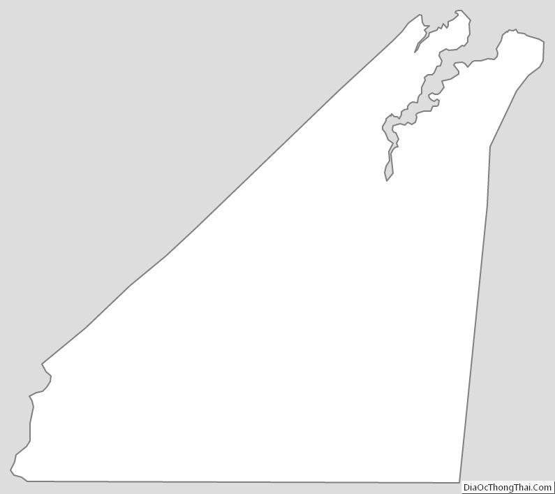
Suffolk City Outline Map