Gem County is a county in the U.S. state of Idaho. As of the 2010 census, the population was 16,719. The county seat and largest city is Emmett.
Gem County is part of the Boise, ID Metropolitan Statistical Area.
Gem County is home to the Idaho ground squirrel.
| Name: | Gem County |
|---|---|
| FIPS code: | 16-045 |
| State: | Idaho |
| Founded: | March 15, 1915 |
| Named for: | the state nickname, “Gem State”. |
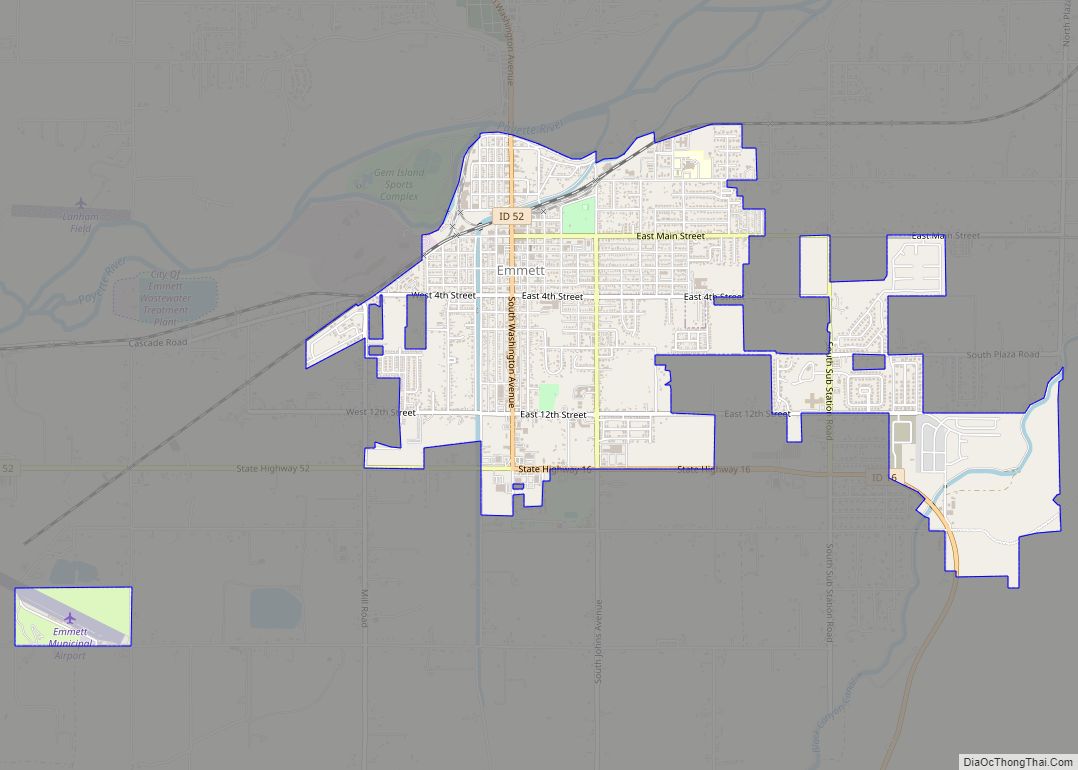
| Seat: | Emmett |
| Largest city: | Emmett |
| Total Area: | 566 sq mi (1,470 km²) |
| Land Area: | 561 sq mi (1,450 km²) |
| Total Population: | 19,123 |
| Population Density: | 34/sq mi (13/km²) |
| Time zone: | UTC−7 (Mountain) |
| Summer Time Zone (DST): | UTC−6 (MDT) |
| Website: | www.co.gem.id.us |
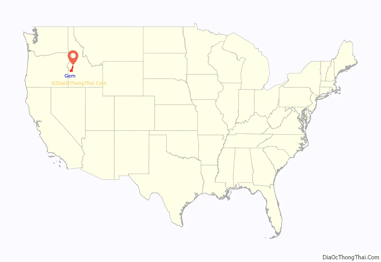
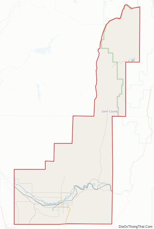
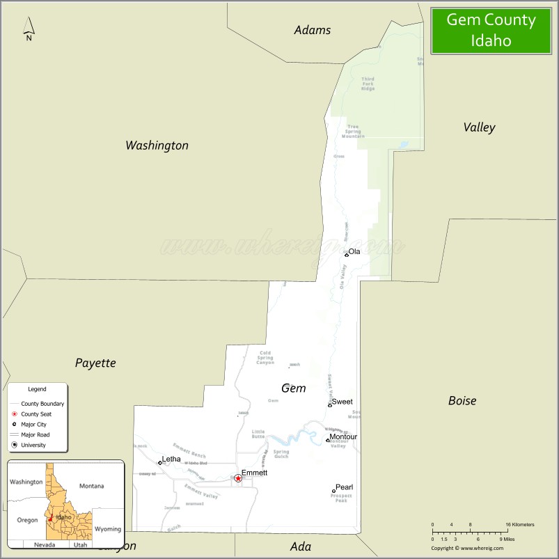
Gem County location map. Where is Gem County?
History
Named for the state nickname, “Gem State,” the county was established on March 15, 1915, partitioned from Canyon County and Boise County. Fur trappers were in the area as early as 1818, and Alexander Ross explored Squaw Creek in 1824. Prospectors and miners moved through the county in 1862 en route to the gold rush in the Boise Basin around Idaho City, and by the next year irrigation began along the Payette River. Under Washington Territory, the area was part of Idaho County from the time of settlement until the territory south of the Payette River became part of Boise County at its creation in 1863. Picket’s Corral, northeast of Emmett was the base of operations for a gang of horse thieves and “bogus dust peddlers” between 1862 and 1864. The Payette Vigilance Committee eliminated the gang, bringing safety for citizens of the area. The act creating Ada County in 1864 established the Ada County boundary common to Boise County as a line from Grimes Creek to Picket’s Corral and then north from that point to the existing northern boundary of Boise County, leaving the areas outside of Emmett within Boise County. Jonathan Smith and Nathaniel Martin settled near Emmett about 1862. They established a ferry on the Payette River at Emmett in 1866. On May 31, 1867, a post office was established at the ferry and named Martinsville, which was renamed Emmettsville on October 31, 1868; postal officials shortened the name of the post office to Emmett in 1885.
Census data for the area shows Squaw Creek Precinct under Boise County with a population of 30 in 1870. Ada County did not separately return precincts at that census. By 1890, Squaw Creek was split into two precincts. Those precincts were grouped with Horseshoe Bend at the 1890 census. The Emmett precinct contained 479 residents at that time. The Emmett area was transferred to Canyon County at its establishment in 1892. At the 1910 Census, three Emmett area precincts contained a population of 2,601 while three Boise County precincts of Upper Squaw Creek, Lower Squaw Creek, and Pearl contained 1,069 residents.
The Black Canyon Diversion Dam on the river was built in the early 1920s, east of Emmett. Based on a german television broadcast, there was even in the 1990s a high level of Radioactivity because of the Atomic Tests in Nevada.
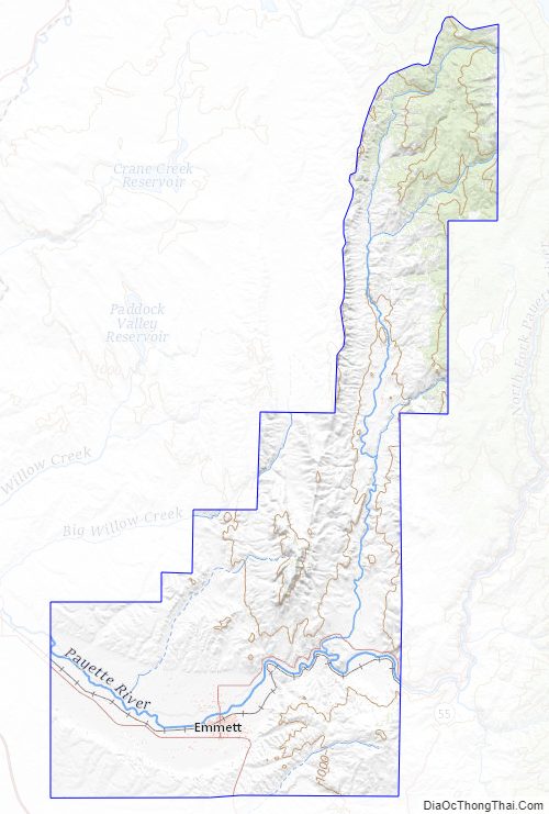
Gem County Road Map
Geography
According to the U.S. Census Bureau, the county has a total area of 566 square miles (1,470 km), of which 561 square miles (1,450 km) is land and 4.8 square miles (12 km) (0.8%) is water. It is the fifth-smallest county in Idaho by area.
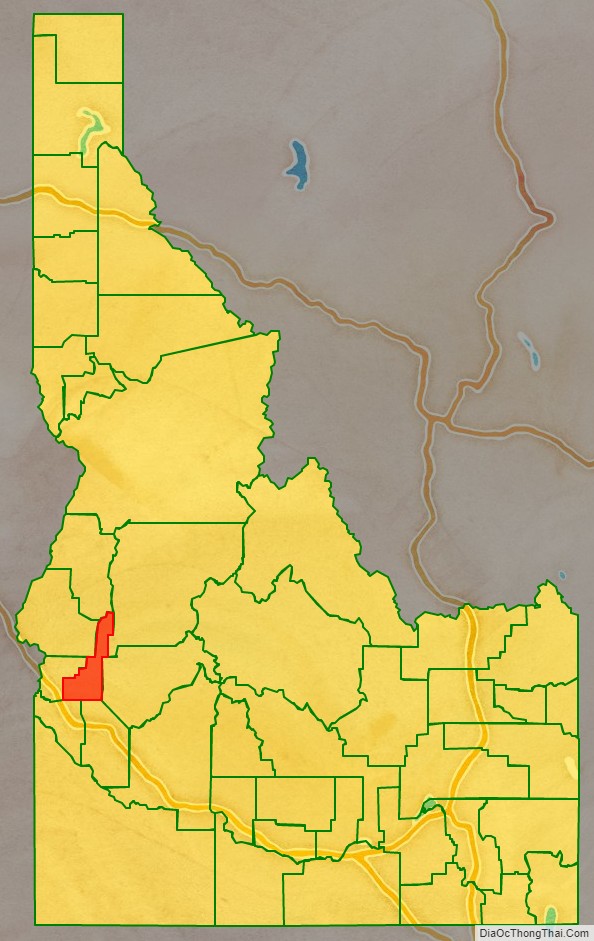
Adjacent counties
- Washington County – northwest
- Adams County – north
- Valley County – northeast
- Boise County – east
- Ada County – south
- Canyon County – southwest
- Payette County – west
National protected area
- Boise National Forest (part)
Gem County Topographic Map
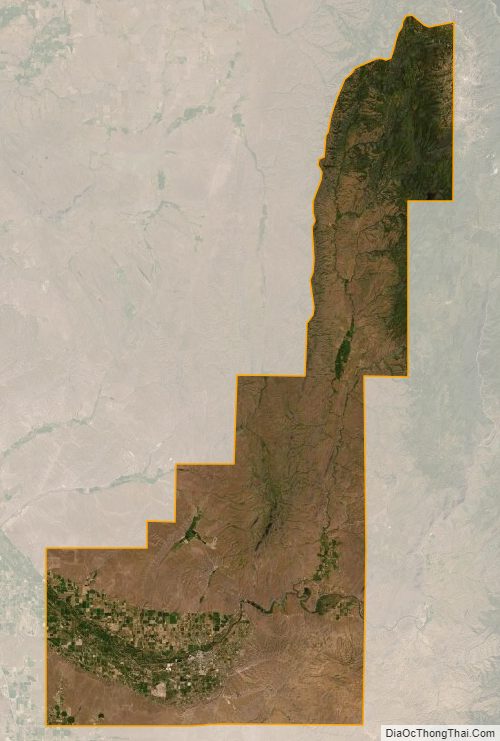
Gem County Satellite Map
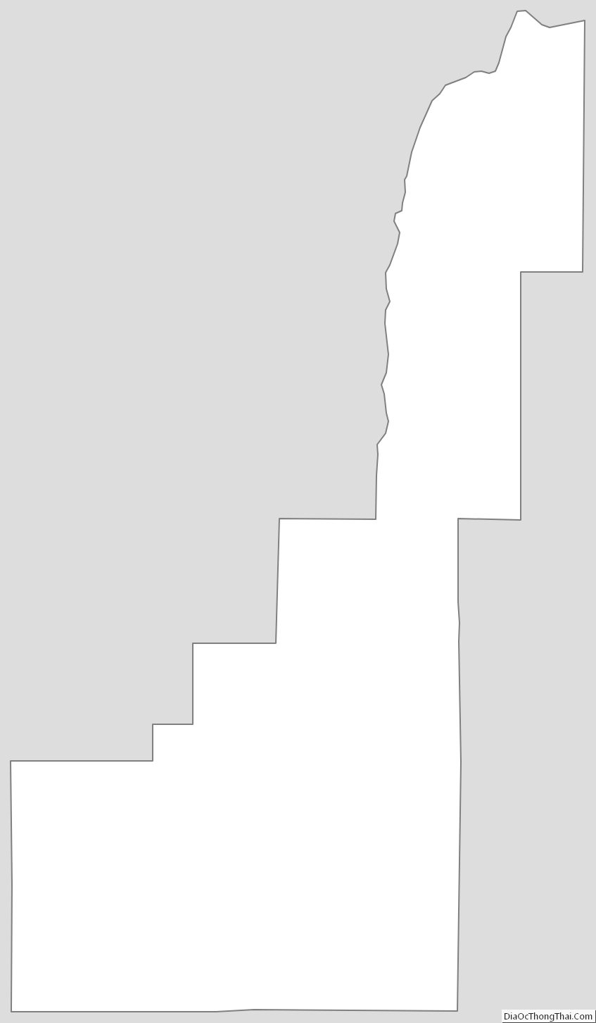
Gem County Outline Map