Emmett is a city in Gem County, Idaho, United States. The population was 6,557 at the 2010 census, up from 5,490 in 2000. It is the county seat and the only city in the county. Emmett is part of the Boise−Nampa, Idaho Metropolitan Statistical Area.
| Name: | Emmett city |
|---|---|
| LSAD Code: | 25 |
| LSAD Description: | city (suffix) |
| State: | Idaho |
| County: | Gem County |
| Elevation: | 2,362 ft (720 m) |
| Total Area: | 2.62 sq mi (6.79 km²) |
| Land Area: | 2.60 sq mi (6.74 km²) |
| Water Area: | 0.02 sq mi (0.05 km²) |
| Total Population: | 6,557 |
| Population Density: | 2,710.99/sq mi (1,046.56/km²) |
| ZIP code: | 83617 |
| Area code: | 208 |
| FIPS code: | 1625570 |
| GNISfeature ID: | 0397688 |
| Website: | www.cityofemmett.org |
Online Interactive Map
Click on ![]() to view map in "full screen" mode.
to view map in "full screen" mode.
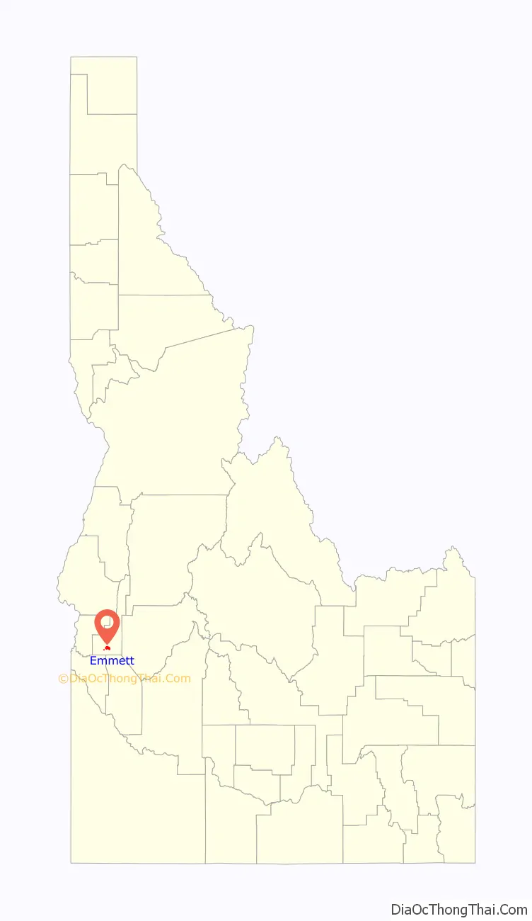
Emmett location map. Where is Emmett city?

History
Emmett, ID is a town on the southern bank of the Payette River that grew up around a ferry crossing of the Payette River. Emmett was originally called Martinsville, named after Nathaniel Martin who, along with Jonathan Smith, built the ferry crossing. Next, the name was changed to “Emmettville,” because it was primarily a post office named after Emmett Cahalan, the son of Tom Cahalan, an early settler of the area. The post office was later moved but the town retained the name. A few years later the “ville” was dropped and the post office and town became simply Emmett. In 1883 James Wardwell had the town platted, and in 1900 the town was incorporated as Emmett. Later, in March 1902, the Idaho Northern railroad came to the valley.
After the closing of the mines in 1906, the power lines were extended to Emmett. A series of irrigation projects made it possible for more rapid expansion of the town as the major service center for a farming and fruit-growing valley. In the early 1900s fruit packers adopted the label of “Gem of Plenty” because of the fertility of the valley. During the mining era the valley was known as the “garden” for the mining regions.
While campaigning for a return to Congress in 1934, Robert M. McCracken died in an automobile accident near Emmett. His vehicle went through a guard rail and tumbled down Freezeout Hill.
Until 2001, the city was home to a Boise Cascade manufacturing facility. The Black Canyon diversion dam on the Payette River, built in the early 1920s, is east of the city.
Rising some 5,906 feet (1,800 m) above sea level, Squaw Butte, named by [Confederate Settlers new to the area]; Native Americans who used this area as their winter resort, stands at the north end of the valley. The Payette River was named after Francois Payette, a fur trader from Quebec who was put in charge of old Fort Boise in 1818 and traveled through the area. Permanent settlement began in the early 1860s, after gold discoveries in the Boise Basin brought people over the established stage and pack train routes. Two of these trails joined at the Payette River north of the present river bridge in Emmett.
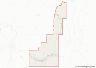
Emmett Road Map

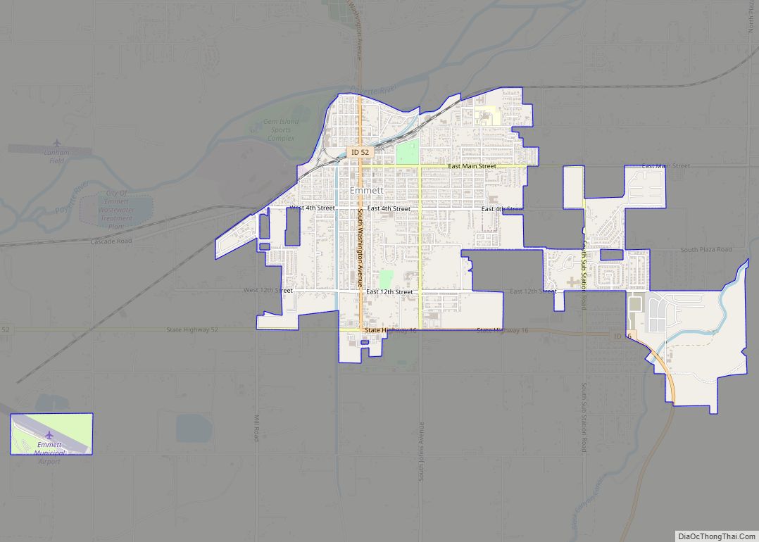
Emmett city Satellite Map

Geography
According to the United States Census Bureau, the city has a total area of 2.82 square miles (7.30 km), of which 2.80 square miles (7.25 km) is land and 0.02 square miles (0.05 km) is water. It is located south of the Payette River, at an elevation of 2,362 feet (720 m) above sea level.
Climate
Emmett experiences a semi-arid climate (Köppen BSk) with cold, moist winters and hot, dry summers.
See also
Map of Idaho State and its subdivision:- Ada
- Adams
- Bannock
- Bear Lake
- Benewah
- Bingham
- Blaine
- Boise
- Bonner
- Bonneville
- Boundary
- Butte
- Camas
- Canyon
- Caribou
- Cassia
- Clark
- Clearwater
- Custer
- Elmore
- Franklin
- Fremont
- Gem
- Gooding
- Idaho
- Jefferson
- Jerome
- Kootenai
- Latah
- Lemhi
- Lewis
- Lincoln
- Madison
- Minidoka
- Nez Perce
- Oneida
- Owyhee
- Payette
- Power
- Shoshone
- Teton
- Twin Falls
- Valley
- Washington
- Alabama
- Alaska
- Arizona
- Arkansas
- California
- Colorado
- Connecticut
- Delaware
- District of Columbia
- Florida
- Georgia
- Hawaii
- Idaho
- Illinois
- Indiana
- Iowa
- Kansas
- Kentucky
- Louisiana
- Maine
- Maryland
- Massachusetts
- Michigan
- Minnesota
- Mississippi
- Missouri
- Montana
- Nebraska
- Nevada
- New Hampshire
- New Jersey
- New Mexico
- New York
- North Carolina
- North Dakota
- Ohio
- Oklahoma
- Oregon
- Pennsylvania
- Rhode Island
- South Carolina
- South Dakota
- Tennessee
- Texas
- Utah
- Vermont
- Virginia
- Washington
- West Virginia
- Wisconsin
- Wyoming