Gilmer County is a county located in the north central portion of the U.S. state of Georgia. As of the 2020 census, the population was 31,353. The county seat is Ellijay. It was based on a historic Cherokee town also spelled as Elejoy in the eighteenth century. The county was created on December 3, 1832 and was named for George Rockingham Gilmer, a politician who served two non-consecutive terms as governor of the state. Gilmer County is home of the annual Apple Festival, which is held in mid-October. Ninety percent of the land is in cropland and forest. Poultry raising and processing makes up the largest portion of the agricultural economy, which generates 33.2% of the total revenues. Manufacturing is about 20%.
| Name: | Gilmer County |
|---|---|
| FIPS code: | 13-123 |
| State: | Georgia |
| Founded: | 1832 |
| Named for: | George Rockingham Gilmer |
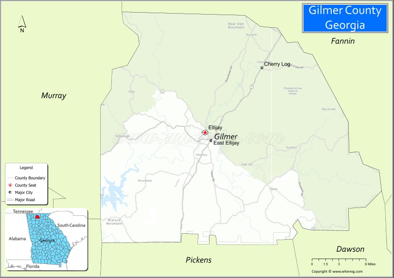
| Seat: | Ellijay |
| Largest city: | Ellijay |
| Total Area: | 431 sq mi (1,120 km²) |
| Land Area: | 427 sq mi (1,110 km²) |
| Total Population: | 31,353 |
| Population Density: | 73/sq mi (28/km²) |
| Time zone: | UTC−5 (Eastern) |
| Summer Time Zone (DST): | UTC−4 (EDT) |
| Website: | www.gilmercounty-ga.gov |
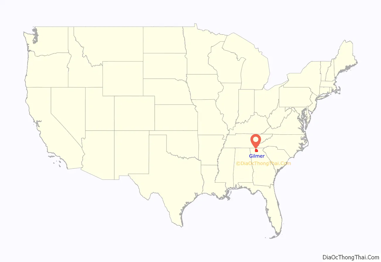
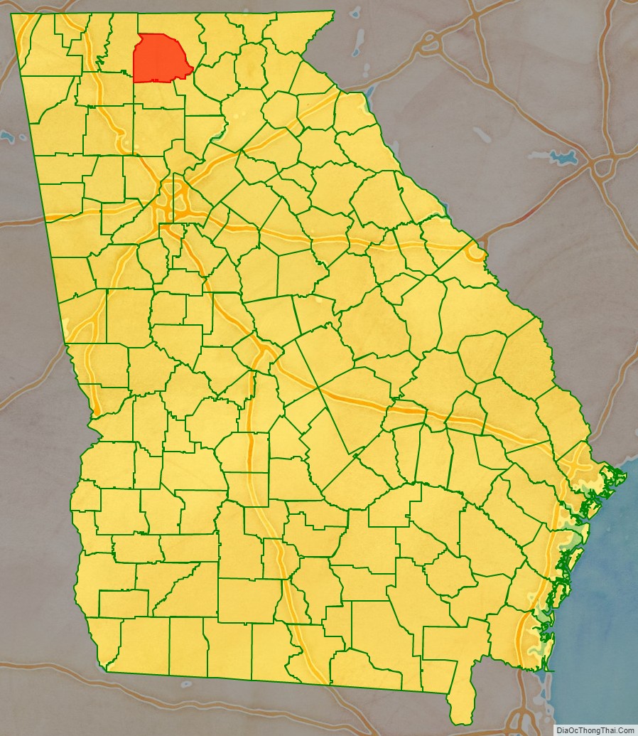
Gilmer County location map. Where is Gilmer County?
History
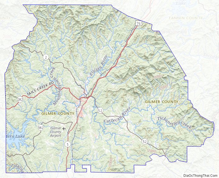
This was long inhabited by cultures of indigenous peoples. It was part of the homeland of the Cherokee. They had a village, Elatseyi, meaning “new ground”. Other sources say it means “green place”. It was sometimes spelled “Elejoy” on 18th century colonial maps. It was located at the confluence of the Ellijay and Cartecay rivers, which create the Coosawattee River. The later European-American town of Ellijay developed at this site.
In 1832, Gilmer County was organized as Georgia started to encroach on Cherokee territory. Ellijay was designated as the county seat in 1834.
On 12 January 1854, parts of Gilmer County as well as parts of neighboring Union County were taken to form the newly created Fannin County, Georgia.
This is still a primarily rural county, with agriculture and forests supporting the economy. It also has a growing tourist sector, some based on whitewater kayaking and canoeing on the rivers in the area.
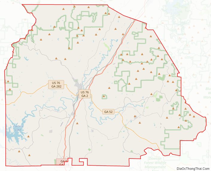
Gilmer County Road Map
Geography
According to the U.S. Census Bureau, the county has a total area of 431 square miles (1,120 km), of which 427 square miles (1,110 km) is land and 4.7 square miles (12 km) (1.1%) is water. The county is located in the Blue Ridge Mountains.
The vast majority of Gilmer County is located in the Coosawattee River sub-basin in the ACT River Basin (Coosa-Tallapoosa River Basin). Three very small parts of the eastern and northern edges of the county are located in the Conasauga River sub-basin of the ACT River Basin, while slightly larger portions of the northern and eastern border areas of Gilmer County are located in the Ocoee River sub-basin of the Middle Tennessee-Hiwassee basin.
Adjacent counties
- Fannin County (north)
- Dawson County (southeast)
- Pickens County (south)
- Gordon County (southwest)
- Murray County (west)
National protected area
- Chattahoochee National Forest (part)
Gilmer County Topographic Map
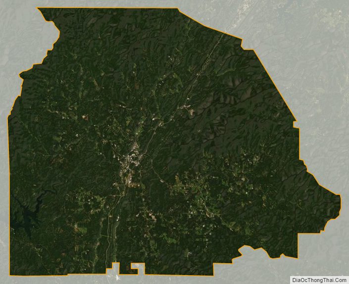
Gilmer County Satellite Map
Gilmer County Outline Map