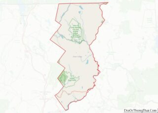
Grand Isle County is a county in the U.S. state of Vermont. As of the 2020 census, the population was 7,293, making it Vermont’s second-least populous county. Its shire town (county seat) is North Hero. The county was created in 1802 and organized in 1805.
Grand Isle County is part of the Burlington metropolitan area. The county does not have a high school; students choose from a number of high schools in neighboring counties.
| Name: | Grand Isle County |
|---|---|
| FIPS code: | 50-013 |
| State: | Vermont |
| Founded: | 1805 |
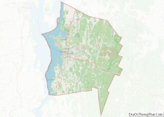
| Largest town: | Grand Isle |
| Total Area: | 195 sq mi (510 km²) |
| Land Area: | 82 sq mi (210 km²) |
| Total Population: | 7,293 |
| Population Density: | 37/sq mi (14/km²) |
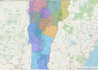
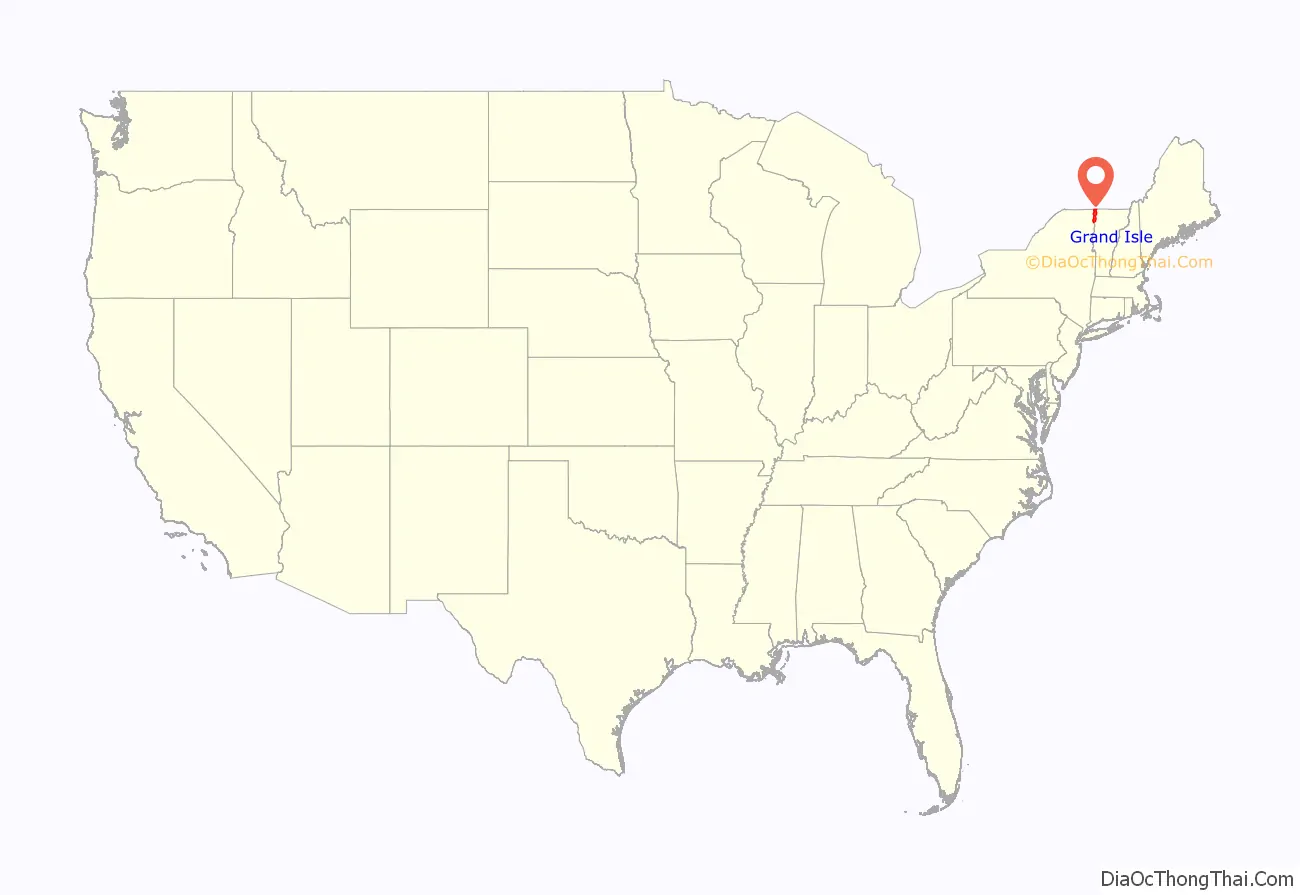
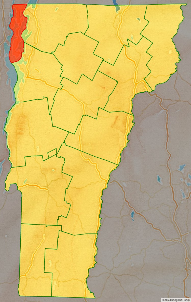
Grand Isle County location map. Where is Grand Isle County?
History
Grand Isle County is one of several Vermont counties created from land ceded by the state of New York on January 15, 1777, when Vermont declared itself to be a distinct state from New York. The land was originally contested by Massachusetts, New Hampshire, New France and New Netherland, but it remained undelineated until July 20, 1764, when King George III established the boundary between New Hampshire and New York along the west bank of the Connecticut River, north of Massachusetts and south of the parallel of 45 degrees north latitude. New York assigned the land gained to Albany County. On March 12, 1772, Albany County was partitioned to create Charlotte County, and this situation persisted until Vermont’s independence from New York and Britain, which, however, did not end the contest.
On September 3, 1783, as a result of the signing of the Treaty of Paris, the Revolutionary War ended with Great Britain recognizing the independence of the United States. Vermont’s border with Quebec was established at 45 degrees north latitude, which explains why this county has no dry-land connection to the rest of the United States.
Massachusetts did not formally withdraw its claim to the region, first made in 1629, until December 16, 1786. New York, still not satisfied with the relinquishment of its land to Vermont, asked the U.S. Congress to arbitrate the matter. Congress ruled against New York on March 7, 1788.
Subsequently, when Vermont petitioned for statehood, Congress ordered a joint commission to settle the border between New York and Vermont. This commission ruled before Vermont’s admission, which took place on March 4, 1791, but a small change they permitted has never been acted upon. Grand Isle County was created in 1802 from parts of Franklin and Chittenden Counties.
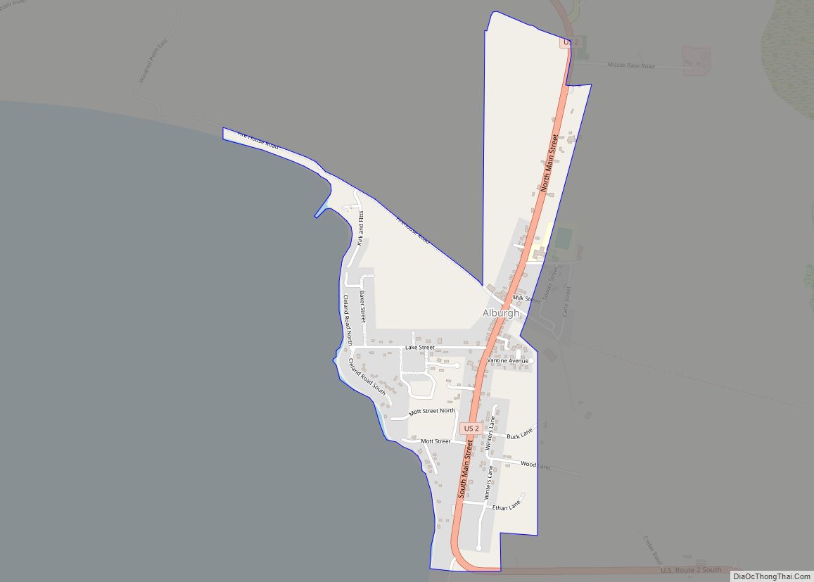
In the late 19th century the Rutland Railroad ran service from northern New York State by the Canada–U.S. border, along the west side of Vermont to Rutland, Vermont, and south to Chatham, New York. From 1899 a series of causeways provided continuous train service north–south through the Lake Champlain islands, making a direct connection to Burlington. The last service from Alburgh was in 1948.
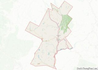
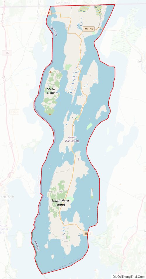
Grand Isle County Road Map
Geography
According to the U.S. Census Bureau, the county has a total area of 195 square miles (510 km), of which 82 square miles (210 km) is land and 113 square miles (290 km) (58%) is water. It has the highest proportion of water coverage of any county in the state. It is the smallest county in Vermont by area, and the second-smallest by population (only Essex County has fewer people). Four of its five towns (North Hero, South Hero, Grand Isle and Isle La Motte) are situated entirely on islands in Lake Champlain, while Alburgh is on a peninsula (an exclave known as the Alburgh Tongue) extending south into the lake from Quebec. The highest elevation in the county is only 279 feet, on the west side of South Hero. The lake shoreline elevation is generally 99′ above sea level.
Adjacent counties
- Franklin County – east
- Chittenden County – southeast
- Clinton County, New York – west
- Le Haut-Richelieu Regional County Municipality, Quebec – north
Major highways
- US 2
- VT 78
- VT 129
- VT 225
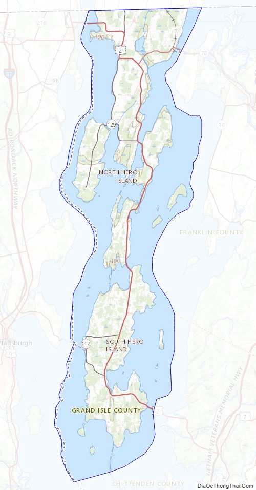
Grand Isle County Topographic Map
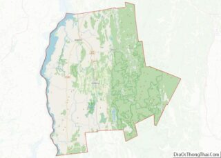
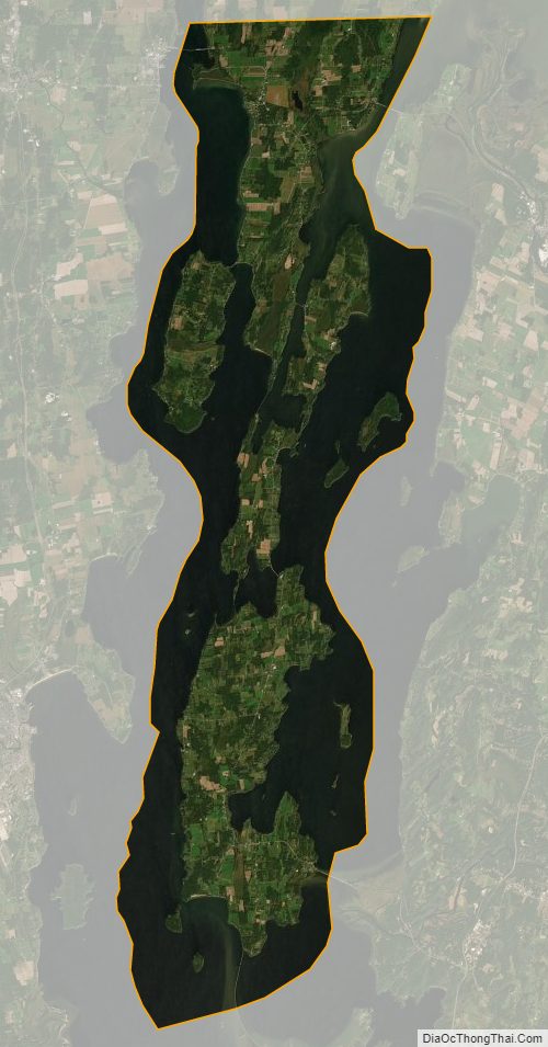
Grand Isle County Satellite Map
Grand Isle County Outline Map