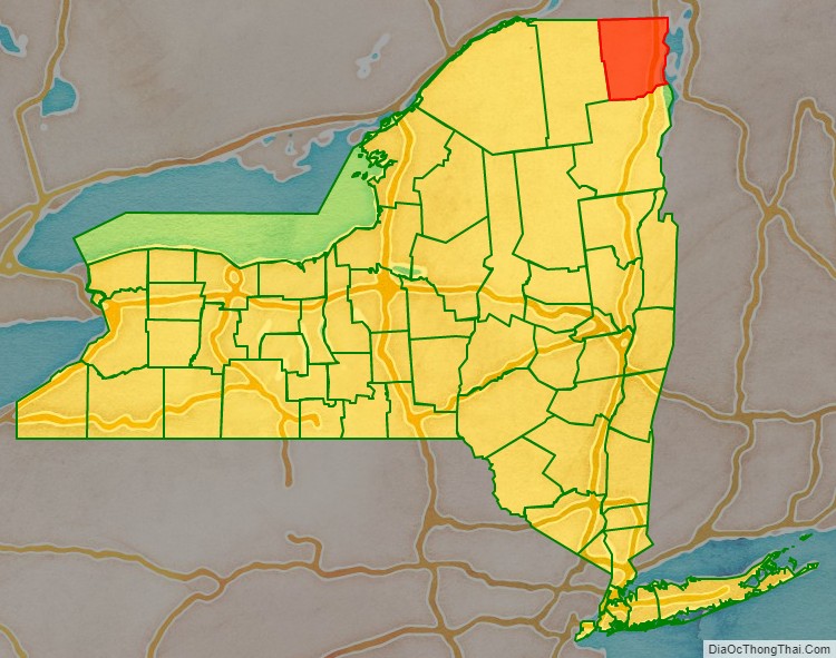
Clinton County is a county in the north-easternmost corner of the state of New York, in the United States and bordered by the Canadian province of Quebec. As of the 2020 United States Census, the population was 79,843. Its county seat is the city of Plattsburgh. The county lies just south of the border with the Canadian province of Quebec and to the west of the State of Vermont.
The county is named for George Clinton, the first Governor of New York, who later was elected as Vice President. He had been a Founding Father who represented New York in the Continental Congress.
Clinton County comprises the Plattsburgh, New York Micropolitan statistical area.
| Name: | Clinton County |
|---|---|
| FIPS code: | 36-019 |
| State: | New York |
| Founded: | 1788 |
| Named for: | George Clinton |
| Seat: | Plattsburgh |
| Largest city: | Plattsburgh |
| Total Area: | 1,117.53 sq mi (2,894.4 km²) |
| Land Area: | 1,037.85 sq mi (2,688.0 km²) |
| Total Population: | 79,843 |
| Population Density: | 76.9/sq mi (29.7/km²) |
| Time zone: | UTC−5 (Eastern) |
| Summer Time Zone (DST): | UTC−4 (EDT) |
| Website: | www.clintoncountygov.com |
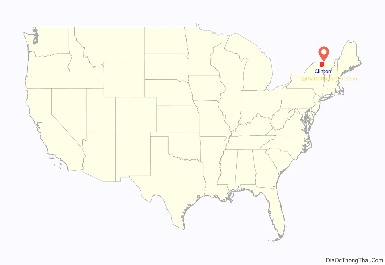
Clinton County location map. Where is Clinton County?
History
When counties were established in New York State in 1683, the present Clinton County was part of Albany County. This was an enormous county, including the northern part of New York State as well as all of the present state of Vermont and, in theory, extending westward to the Pacific Ocean. This county was reduced in size on July 3, 1766, by the creation of Cumberland County, and further on March 16, 1770, by the creation of Gloucester County, both containing territory now in Vermont. On March 12, 1772, what was left of Albany County was split into three parts, one remaining under the name Albany County. One of the other pieces, Charlotte County, contained the eastern portion.
In 1784, the name “Charlotte County” was changed to Washington County to honor George Washington, the American Revolutionary War General and later the first President of the United States of America.
In 1788, Clinton County split off from Washington County.
In 1799, Essex County split from Clinton County.
In 1802, parts of Clinton, Herkimer, and Montgomery counties formed the new St. Lawrence County.
In 1808, Franklin County split from Clinton County.
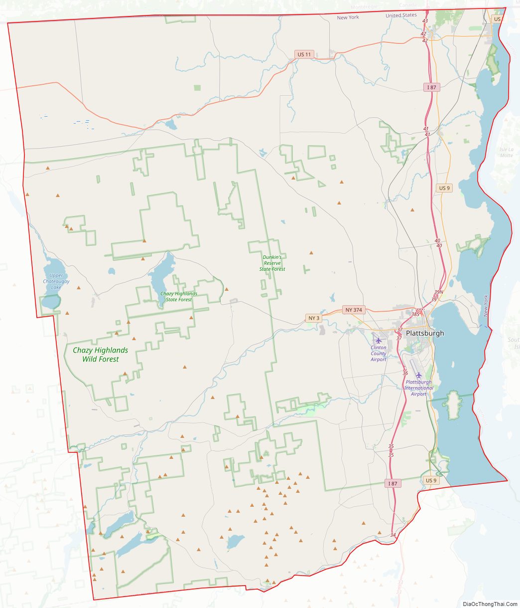
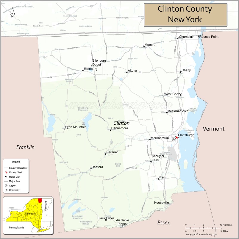
Clinton County Road Map
Geography
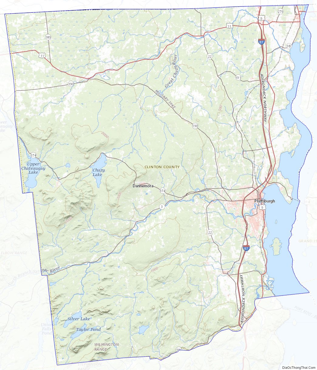
Clinton County lies at the northeast corner of New York state. Its northern border abuts the Canadian province of Quebec. Its eastern border abuts the state of Vermont (across Lake Champlain). The encompassing region is referred to as the Adirondack Coast.
The Saranac River flows easterly through the central part of the county, discharging into Lake Champlain at Plattsburgh, and the Great Chazy River flows northeastward through the upper part of the county, discharging into Lake Champlain at Coopersville. The Ausable River forms a large part of the southern county line. The county’s highest point is Lyon Mountain, in the town of Dannemora, at 3,830′ (1167m) ASL. According to the US Census Bureau, the county has a total area of 1,117.53 square miles (2,894.4 km), of which 1,037.85 square miles (2,688.0 km) is land and 79.67 square miles (206.3 km) (7.1%) is water.
Adjacent counties and municipalities
- Grand Isle County, Vermont — east
- Chittenden County, Vermont — southeast
- Essex County — south
- Franklin County — west
- Le Haut-Richelieu Regional County Municipality, Quebec — north
- Le Haut-Saint-Laurent Regional County Municipality, Quebec — north
- Les Jardins-de-Napierville Regional County Municipality, Quebec — north
Protected areas
- Adirondack Park (part)
- Ausable Marsh Wildlife Management Area
- Cadyville State Forest
- Chazy Fossil Reef National Natural Landmark (part)
- Dannemora State Forest
- Dunkin’s Reserve State Forest
- Flat Rock State Forest
- Kings Bay Wildlife Management Area
- Macomb State Forest
- Miner Lake State Park
- Monty’s Bay Wildlife Management Area
- Point au Roche State Park
- Valcour Island
- Valcour Island Primitive Area
Lakes
- Chazy Lake
- Fern Lake
- Lake Champlain (along east border)
- Mead Reservoir
- Military Pond
- Miner Lake
- Mud Pond
- Newberry Pond
- Patterson Reservoir
- Silver Lake
- Slush Pond
- Taylor Pond
- Union Falls Pond (part)
- Upper Chateaugay Lake
Clinton County Topographic Map
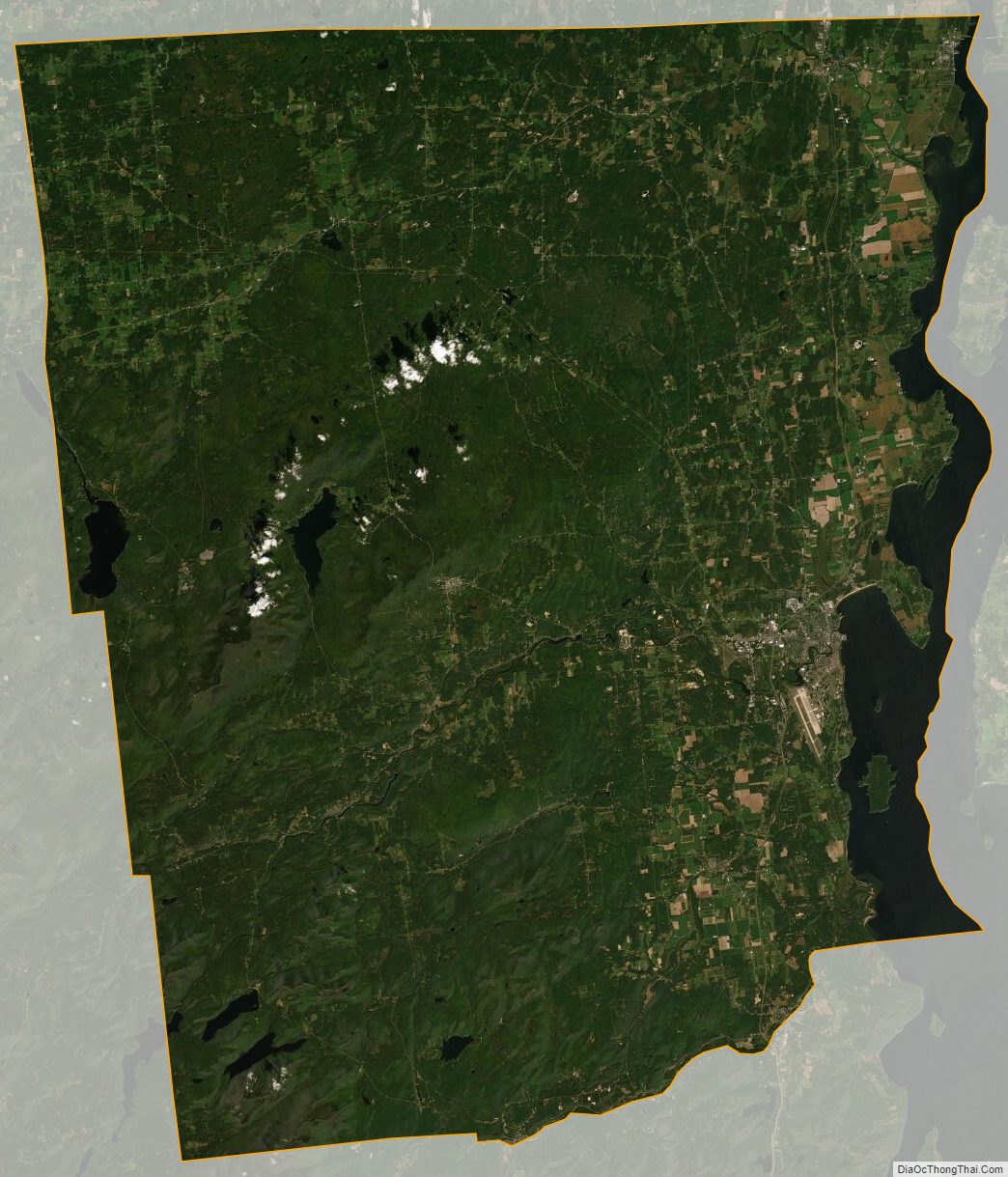
Clinton County Satellite Map
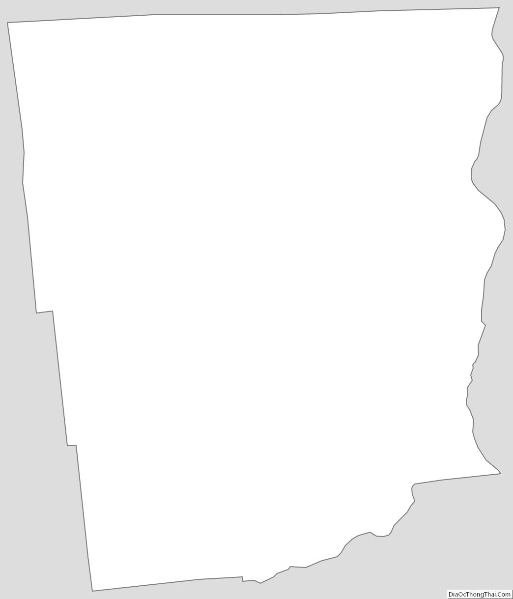
Clinton County Outline Map