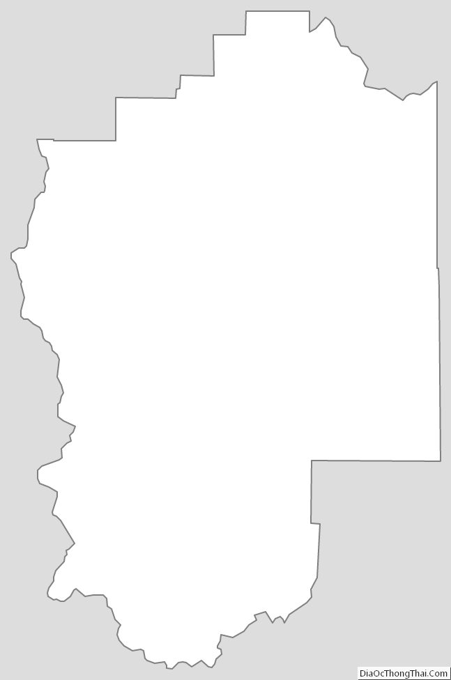
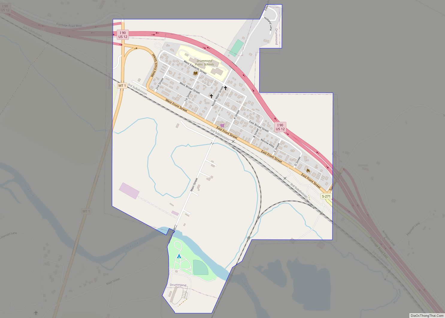
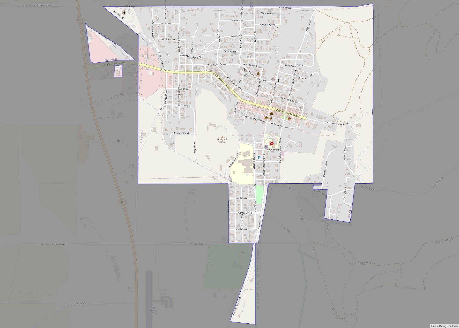
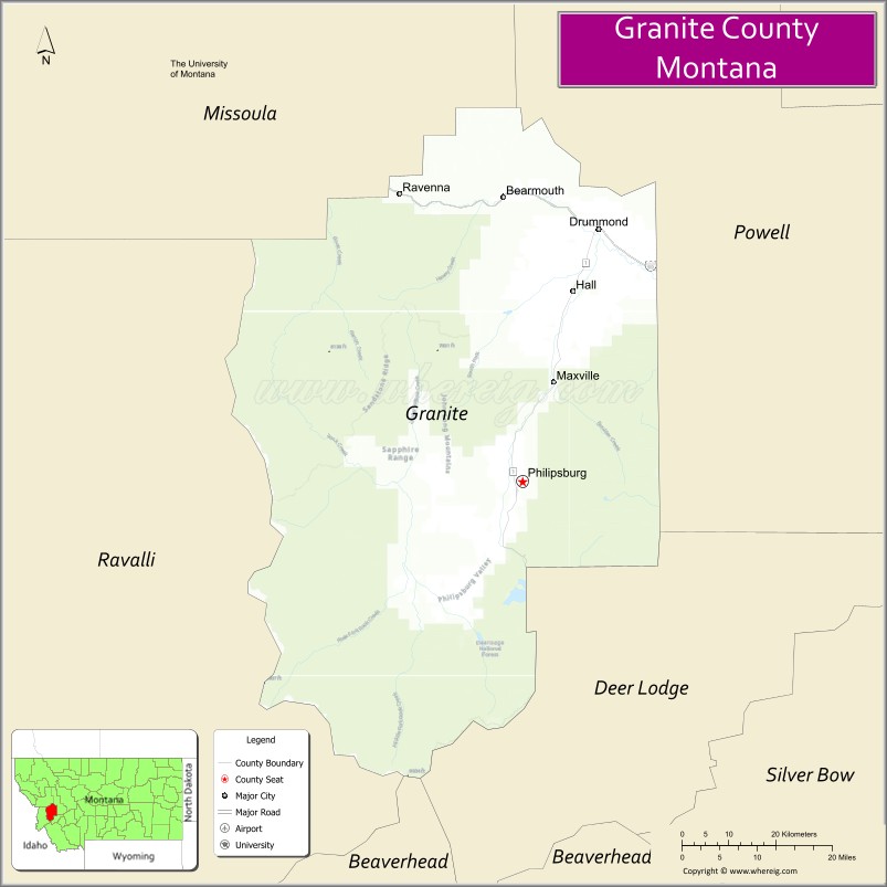
Granite County is a county located in the U.S. state of Montana. As of the 2020 census, the population was 3,309. Its county seat is Philipsburg. The county was founded in 1893, and was named for a mountain which contains the Granite Mountain silver mine.
| Name: | Granite County |
|---|---|
| FIPS code: | 30-039 |
| State: | Montana |
| Founded: | March 2, 1893 |
| Seat: | Philipsburg |
| Largest town: | Philipsburg |
| Total Area: | 1,733 sq mi (4,490 km²) |
| Land Area: | 1,727 sq mi (4,470 km²) |
| Total Population: | 3,309 |
| Population Density: | 1.9/sq mi (0.74/km²) |
| Time zone: | UTC−7 (Mountain) |
| Summer Time Zone (DST): | UTC−6 (MDT) |
| Website: | www.co.granite.mt.us |
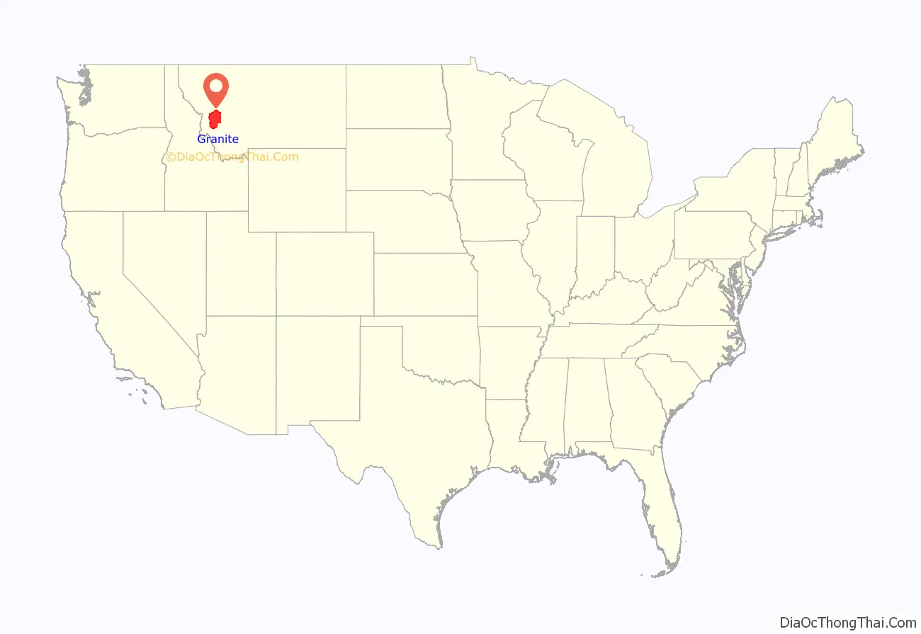
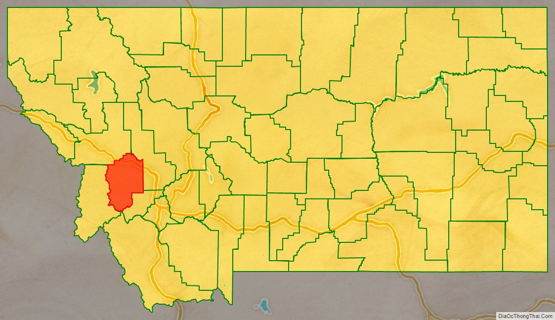
Granite County location map. Where is Granite County?
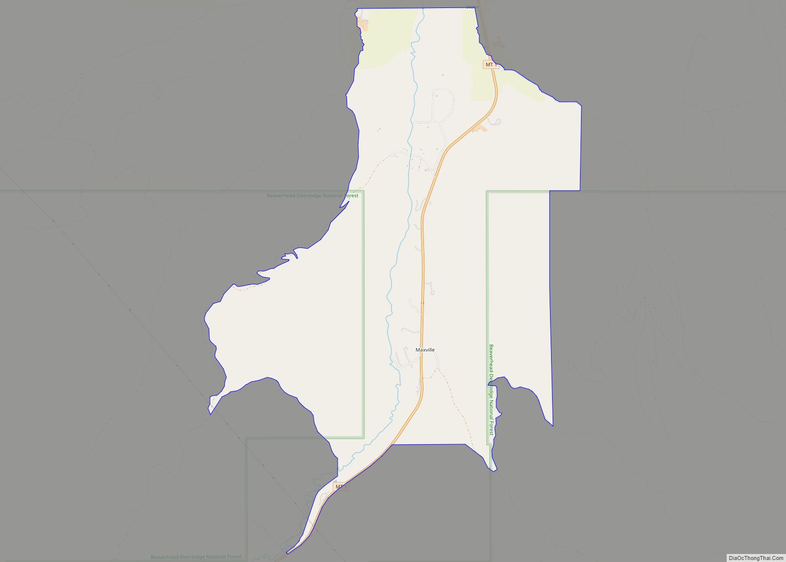
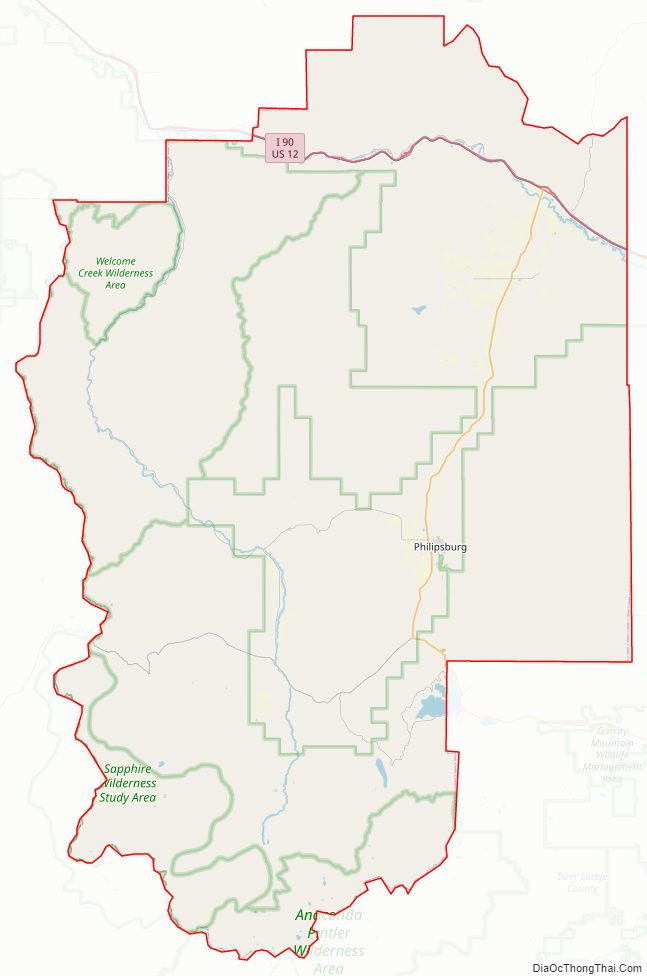
Granite County Road Map
Geography
According to the United States Census Bureau, the county has a total area of 1,733 square miles (4,490 km), of which 1,727 square miles (4,470 km) is land and 5.6 square miles (15 km) (0.3%) is water.
Major highways
- Interstate 90
- U.S. Highway 10 (Former)
- U.S. Highway 12
- Montana Highway 1
- Montana Highway 38
Adjacent counties
- Missoula County – north
- Powell County – east
- Deer Lodge County – south
- Ravalli County – west
National protected areas
- Deerlodge National Forest (part)
- Lolo National Forest (part)
Granite County Topographic Map

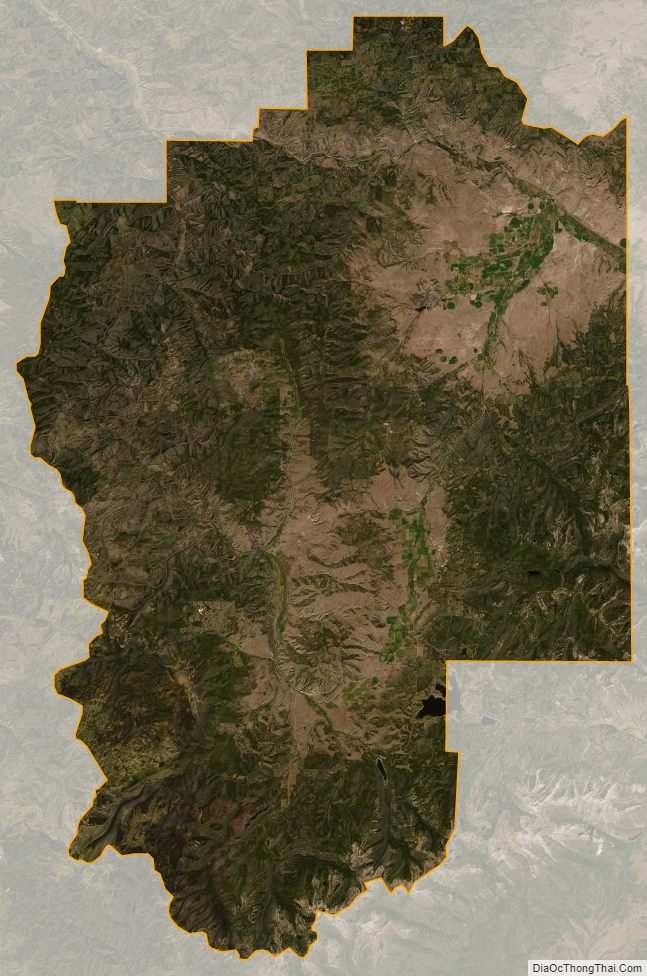
Granite County Satellite Map
Granite County Outline Map