Philipsburg is a town in and the county seat of Granite County, Montana, United States. The population was 841 at the 2020 census. The town was named after the famous mining engineer Philip Deidesheimer, who designed and supervised the construction of the ore smelter around which the town originally formed. He platted the townsite in 1867.
| Name: | Philipsburg town |
|---|---|
| LSAD Code: | 43 |
| LSAD Description: | town (suffix) |
| State: | Montana |
| County: | Granite County |
| Elevation: | 5,233 ft (1,595 m) |
| Total Area: | 0.85 sq mi (2.20 km²) |
| Land Area: | 0.85 sq mi (2.20 km²) |
| Water Area: | 0.00 sq mi (0.00 km²) |
| Total Population: | 841 |
| Population Density: | 989.41/sq mi (381.81/km²) |
| ZIP code: | 59858 |
| Area code: | 406 |
| FIPS code: | 3057175 |
| GNISfeature ID: | 2413127 |
Online Interactive Map
Click on ![]() to view map in "full screen" mode.
to view map in "full screen" mode.
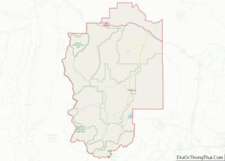
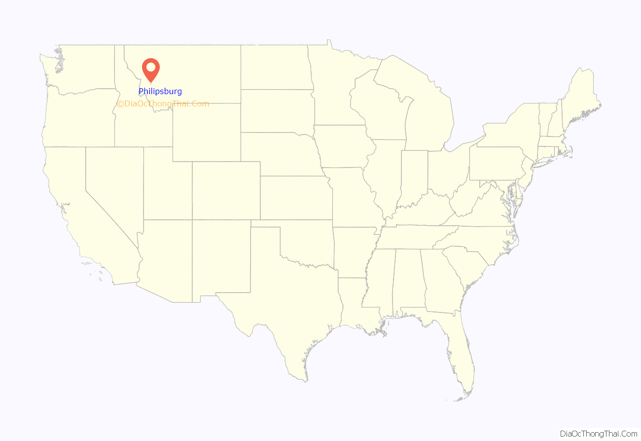
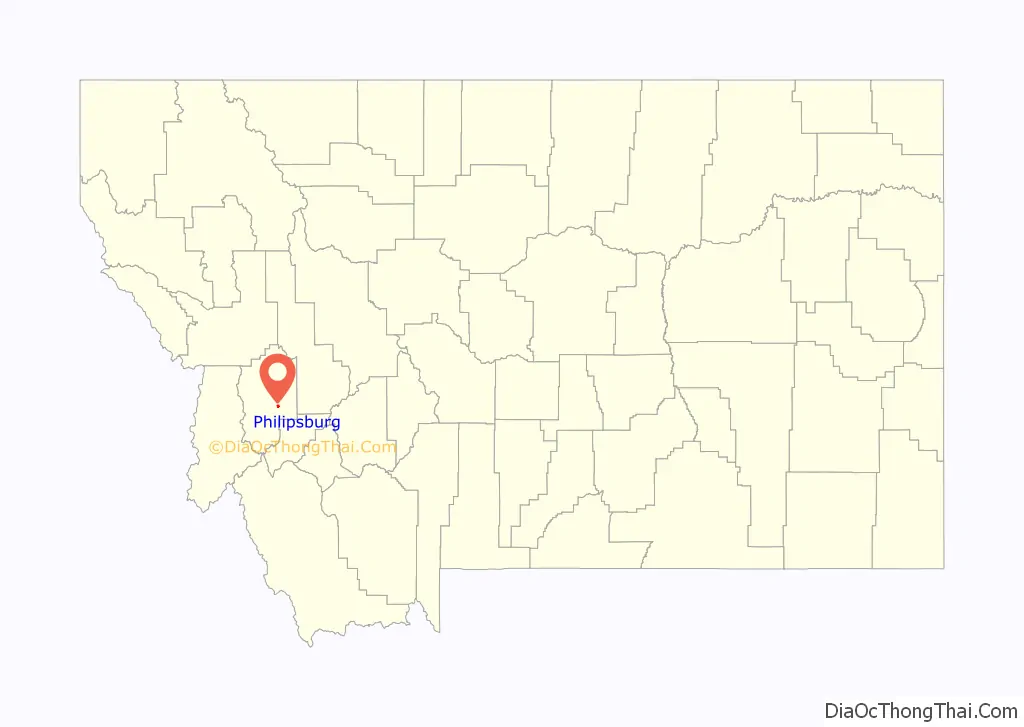
Philipsburg location map. Where is Philipsburg town?
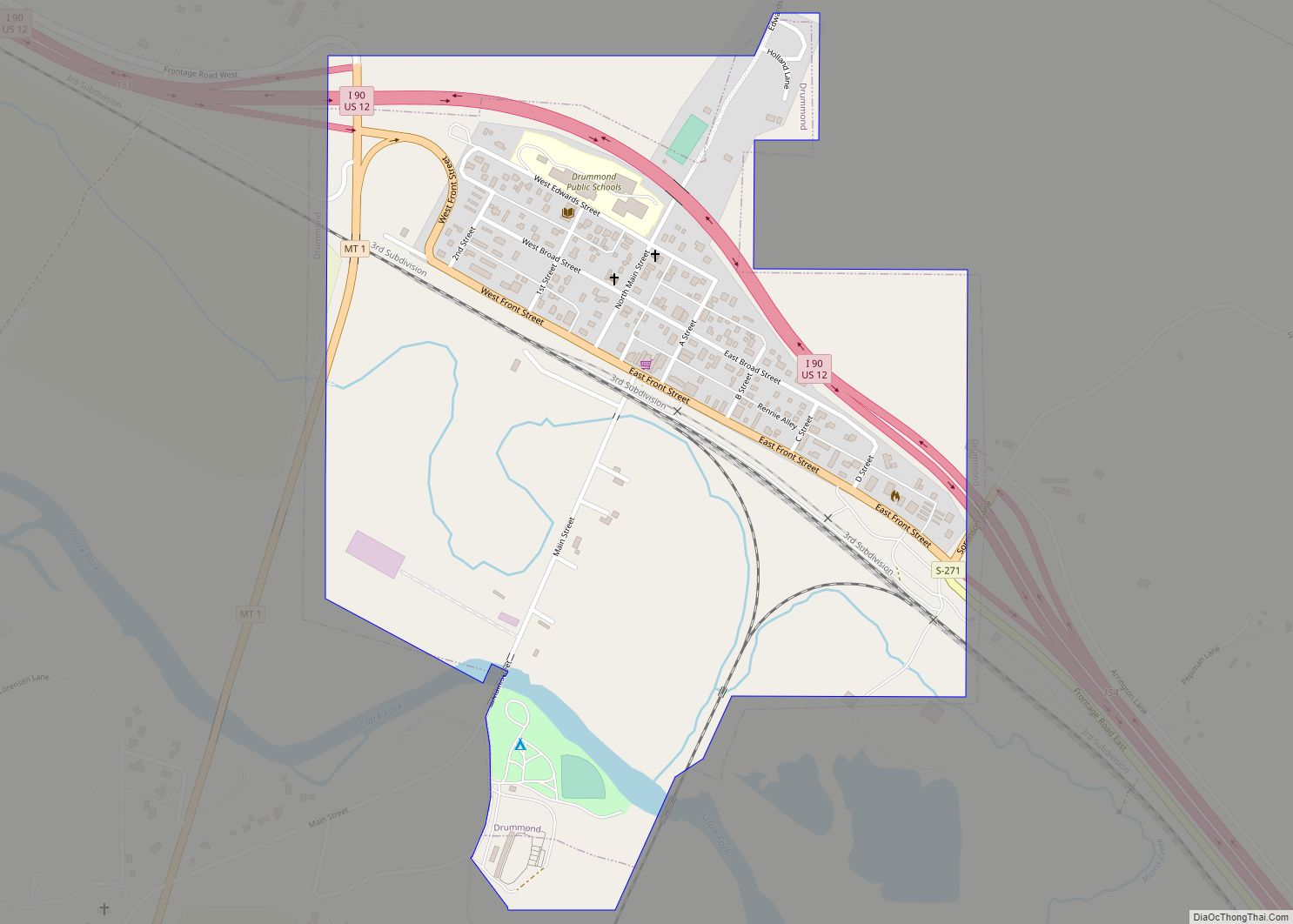
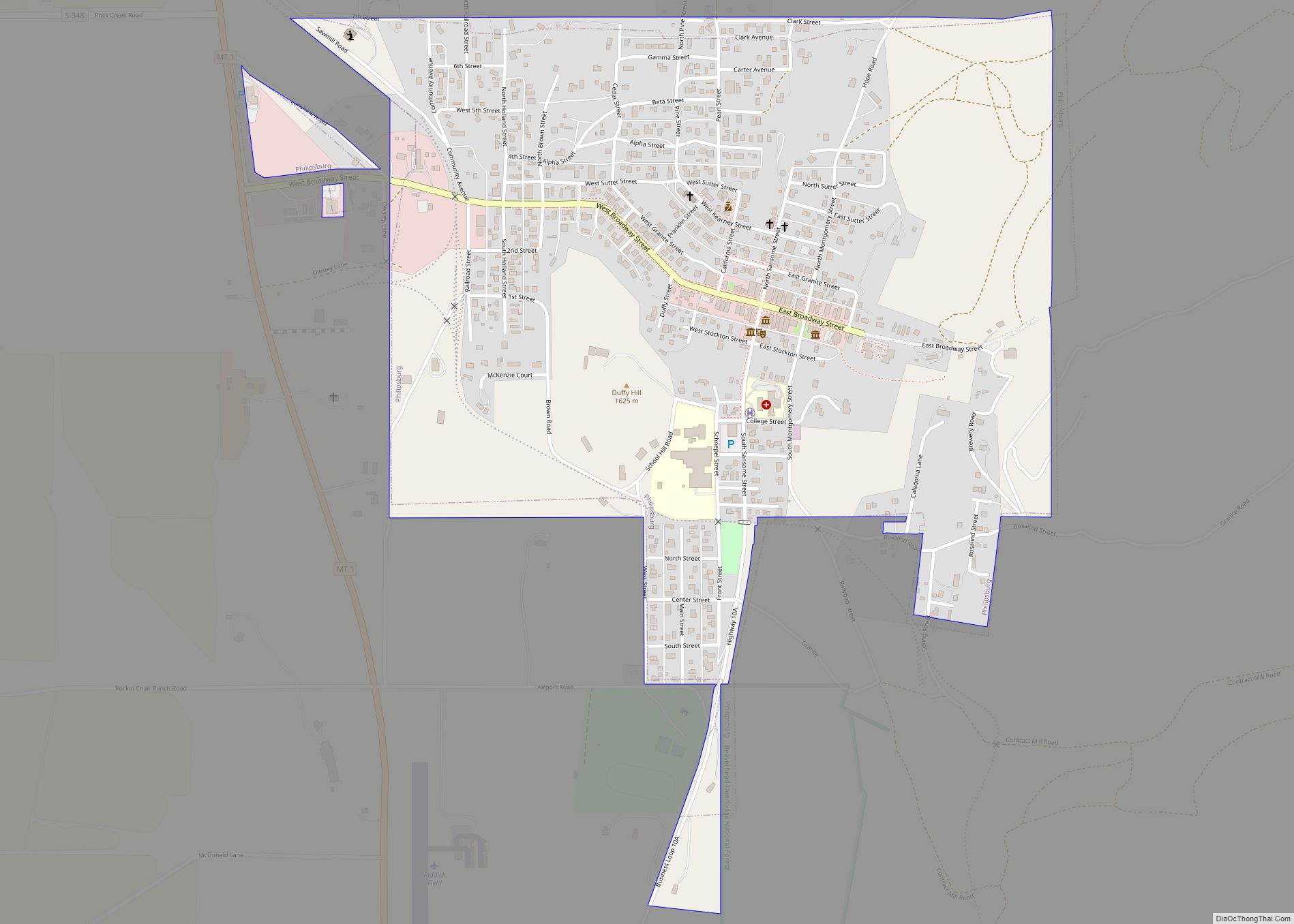
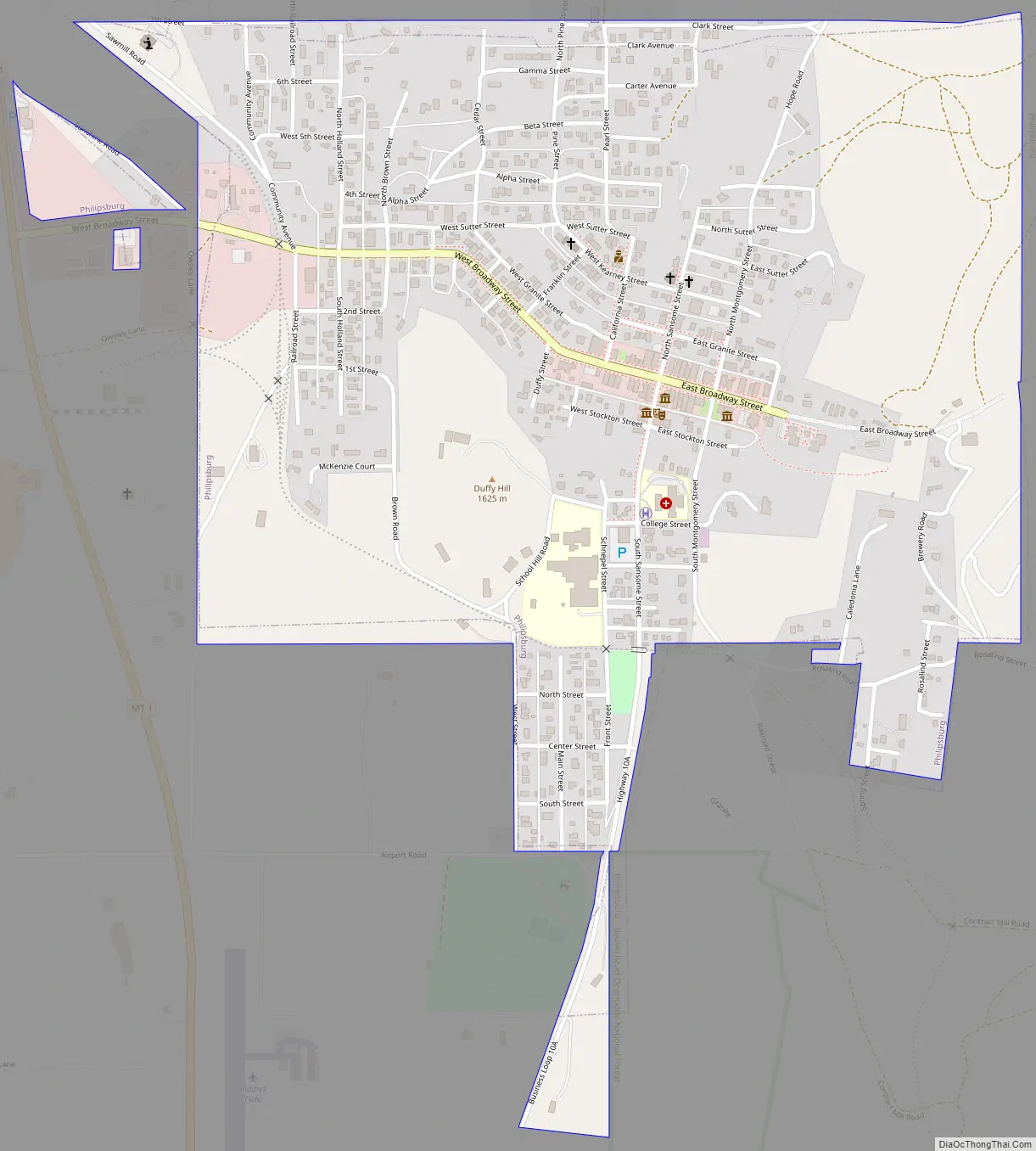
Philipsburg Road Map
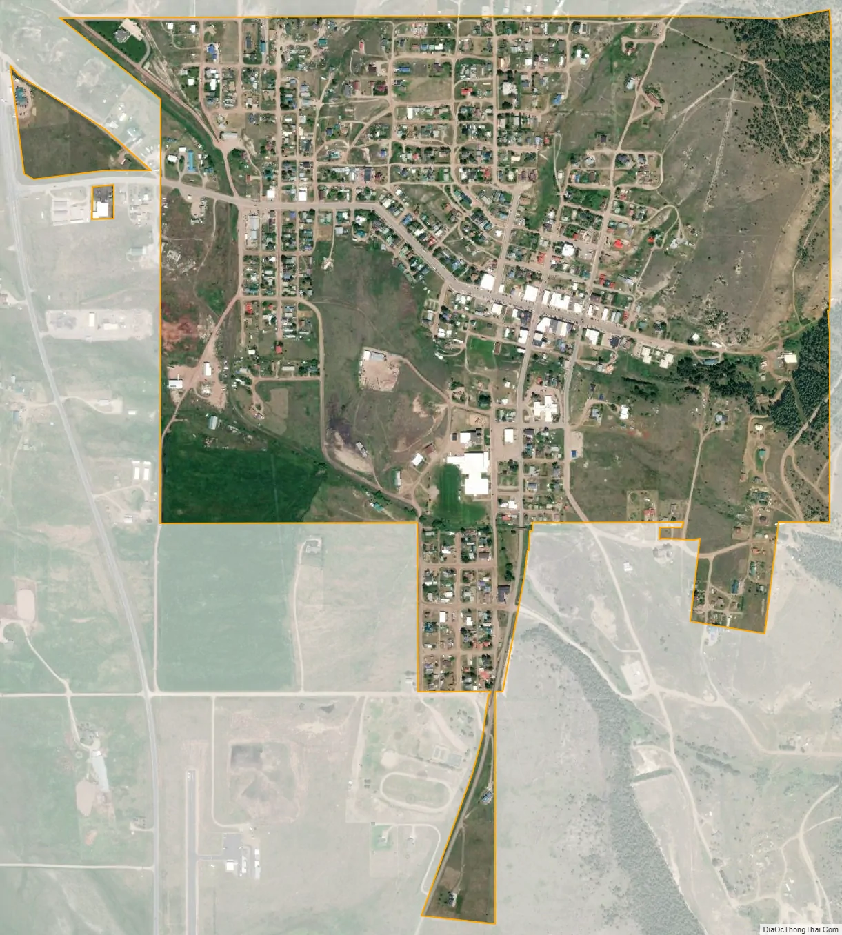
Philipsburg city Satellite Map
Geography
Montana Highway 1 passes through town. Granite Ghost Town State Park is nearby.
According to the United States Census Bureau, the town has a total area of 0.80 square miles (2.07 km), all land.
See also
Map of Montana State and its subdivision:- Beaverhead
- Big Horn
- Blaine
- Broadwater
- Carbon
- Carter
- Cascade
- Chouteau
- Custer
- Daniels
- Dawson
- Deer Lodge
- Fallon
- Fergus
- Flathead
- Gallatin
- Garfield
- Glacier
- Golden Valley
- Granite
- Hill
- Jefferson
- Judith Basin
- Lake
- Lewis and Clark
- Liberty
- Lincoln
- Madison
- McCone
- Meagher
- Mineral
- Missoula
- Musselshell
- Park
- Petroleum
- Phillips
- Pondera
- Powder River
- Powell
- Prairie
- Ravalli
- Richland
- Roosevelt
- Rosebud
- Sanders
- Sheridan
- Silver Bow
- Stillwater
- Sweet Grass
- Teton
- Toole
- Treasure
- Valley
- Wheatland
- Wibaux
- Yellowstone
- Alabama
- Alaska
- Arizona
- Arkansas
- California
- Colorado
- Connecticut
- Delaware
- District of Columbia
- Florida
- Georgia
- Hawaii
- Idaho
- Illinois
- Indiana
- Iowa
- Kansas
- Kentucky
- Louisiana
- Maine
- Maryland
- Massachusetts
- Michigan
- Minnesota
- Mississippi
- Missouri
- Montana
- Nebraska
- Nevada
- New Hampshire
- New Jersey
- New Mexico
- New York
- North Carolina
- North Dakota
- Ohio
- Oklahoma
- Oregon
- Pennsylvania
- Rhode Island
- South Carolina
- South Dakota
- Tennessee
- Texas
- Utah
- Vermont
- Virginia
- Washington
- West Virginia
- Wisconsin
- Wyoming