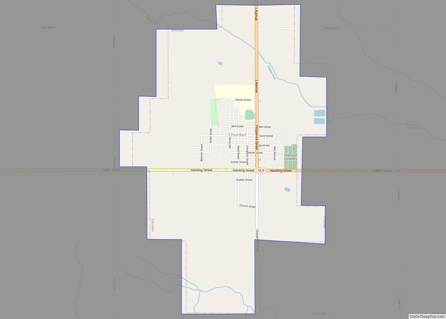
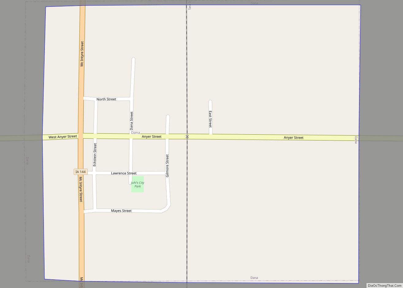
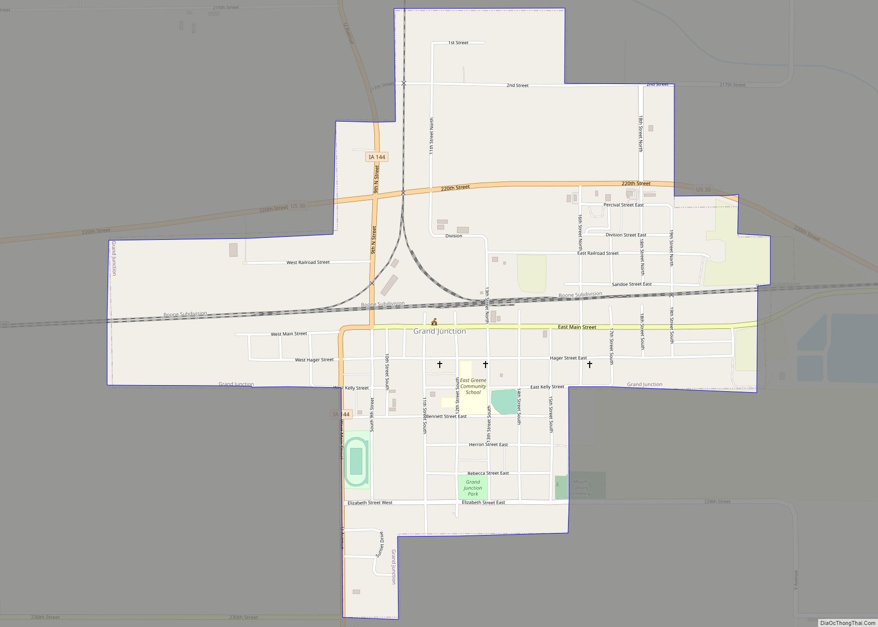
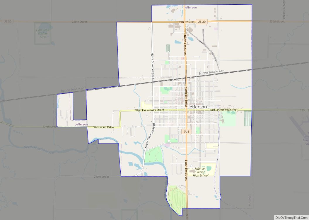
Greene County is a county located in the U.S. state of Iowa. As of the 2020 census, the population was 8,771. The county seat is Jefferson. The county is named in honor of General Nathanael Greene.
| Name: | Greene County |
|---|---|
| FIPS code: | 19-073 |
| State: | Iowa |
| Founded: | 1851 |
| Named for: | Nathanael Greene |
| Seat: | Jefferson |
| Largest city: | Jefferson |
| Total Area: | 571 sq mi (1,480 km²) |
| Land Area: | 570 sq mi (1,500 km²) |
| Total Population: | 8,771 |
| Population Density: | 15/sq mi (5.9/km²) |
| Time zone: | UTC−6 (Central) |
| Summer Time Zone (DST): | UTC−5 (CDT) |
| Website: | www.co.greene.ia.us |
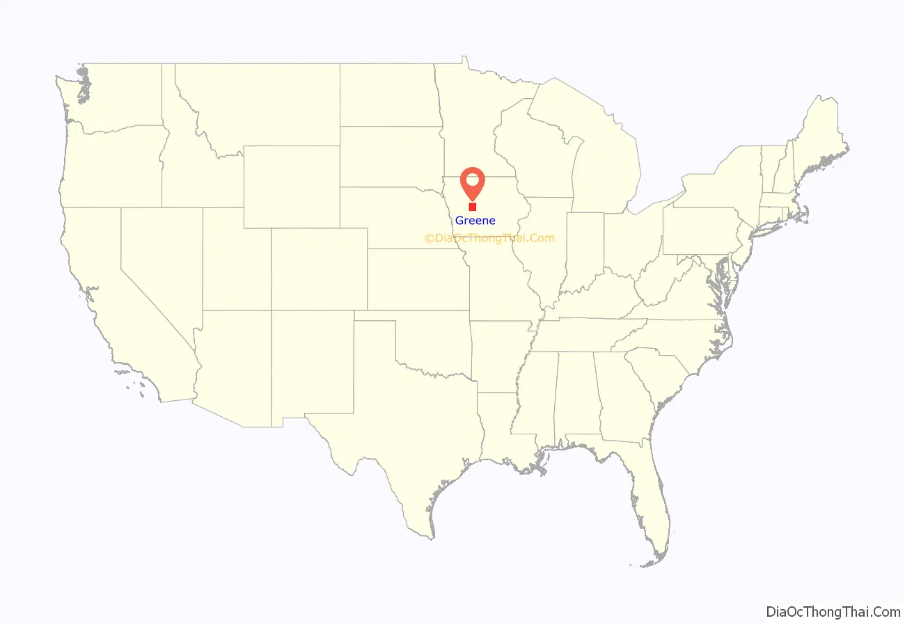
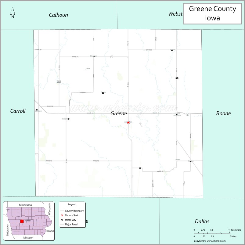
Greene County location map. Where is Greene County?
History
Greene County was formed on January 15, 1851, and from 1854, self-governed. It was named after General Nathanael Greene, a hero in the Revolutionary War. The first settler was Truman Davis. He settled on the Raccoon River. The first courthouse was built in 1856 from wood. Previously court was held in a log cabin southeast of Jefferson. The second courthouse, of red brick, was built in 1870. The present Greene County Courthouse used today was built in 1917.
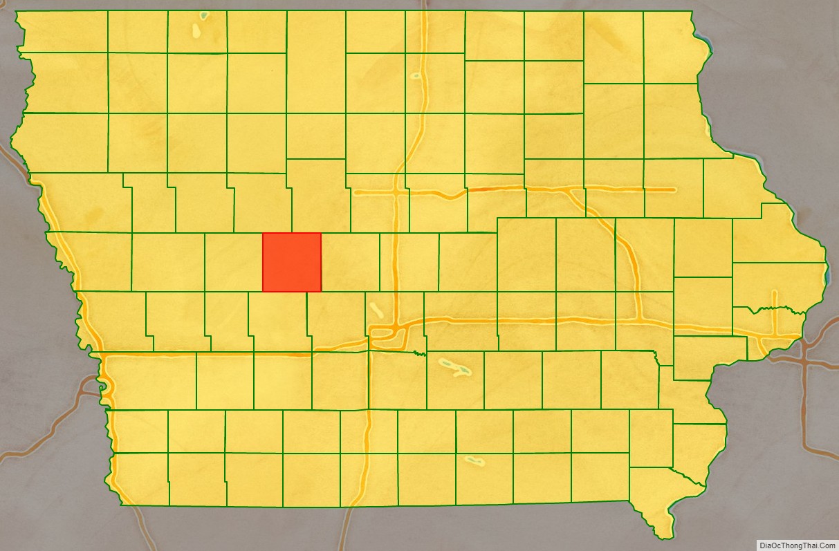
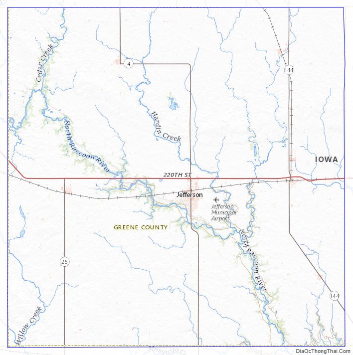
Greene County Road Map
Geography
According to the U.S. Census Bureau, the county has a total area of 571 square miles (1,480 km), of which 570 square miles (1,500 km) is land and 1.6 square miles (4.1 km) (0.3%) is water.
Major highways
- U.S. Highway 30
- Iowa Highway 4
- Iowa Highway 25
- Iowa Highway 144
Adjacent counties
- Calhoun County (northwest)
- Webster County (northeast)
- Boone County (east)
- Dallas County (southeast)
- Guthrie County (south)
- Carroll County (west)
Greene County Topographic Map
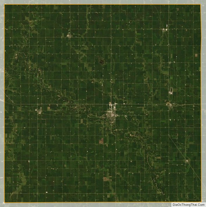
Greene County Satellite Map
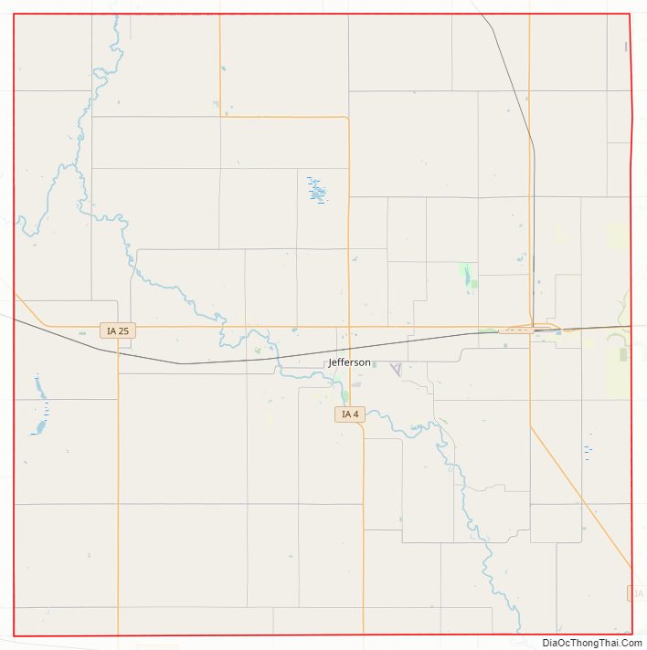
Greene County Outline Map