Webster County is a county in the U.S. state of Iowa. As of the 2020 census, the population was 36,999. The county seat is Fort Dodge. The county was established in January 1851, one of 43 counties established by a legislative package. This county was named after Daniel Webster, an American statesman noted for his moving oratory.
Webster County comprises the Fort Dodge, IA Micropolitan Statistical Area.
| Name: | Webster County |
|---|---|
| FIPS code: | 19-187 |
| State: | Iowa |
| Founded: | January 15, 1851 |
| Named for: | Daniel Webster |
| Seat: | Fort Dodge |
| Largest city: | Fort Dodge |
| Total Area: | 718 sq mi (1,860 km²) |
| Land Area: | 716 sq mi (1,850 km²) |
| Total Population: | 36,999 |
| Population Density: | 52/sq mi (20/km²) |
| Time zone: | UTC−6 (Central) |
| Summer Time Zone (DST): | UTC−5 (CDT) |
| Website: | www.webstercountyia.gov |
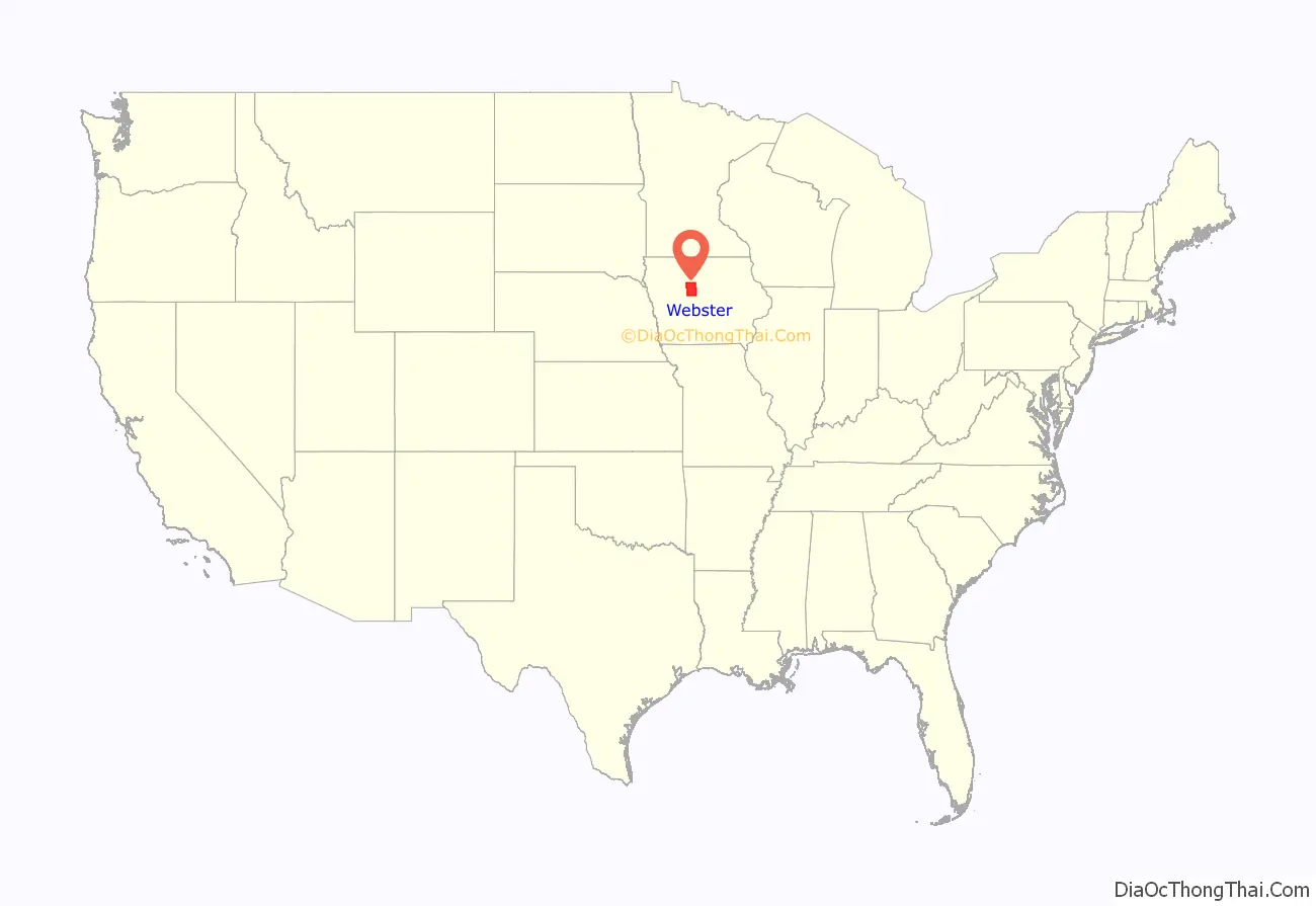
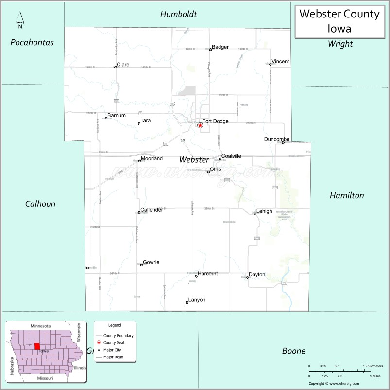
Webster County location map. Where is Webster County?
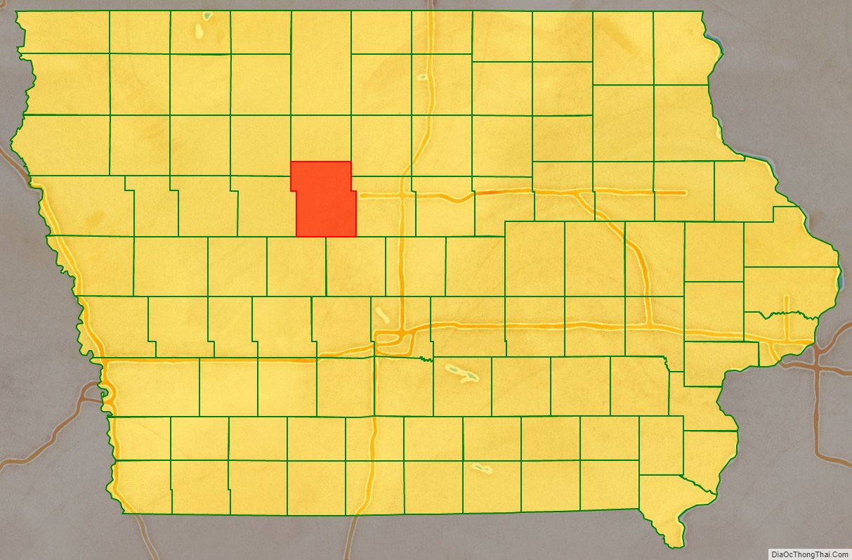
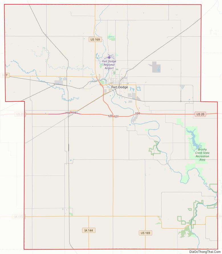
Webster County Road Map
Geography
According to the U.S. Census Bureau, the county has an area of 718 square miles (1,860 km), of which 716 square miles (1,850 km) is land and 2.8 square miles (7.3 km) (0.4%) is water.
Major highways
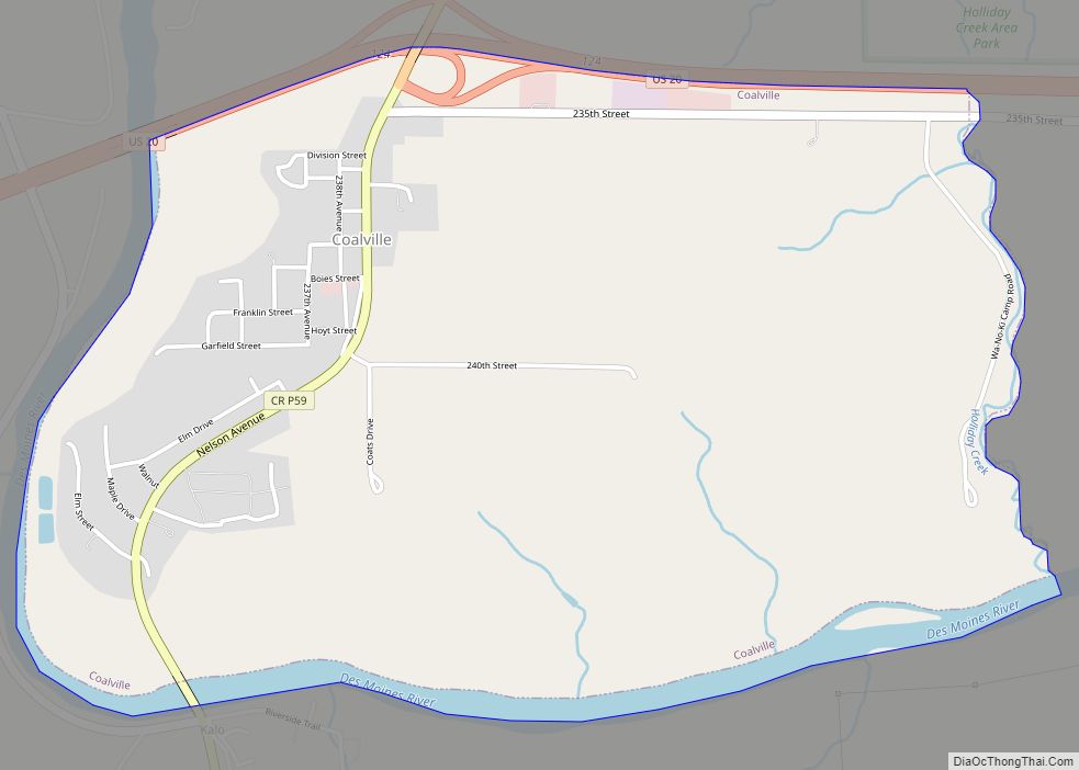
- U.S. Highway 20 – runs east–west across central Webster County, through Moorland and Coalville.
- U.S. Highway 169 – enters northern Webster County at mid-county and runs south to Harcourt. It runs four miles east, then turns south to exit the county.
- Iowa Highway 7 – enters western Webster County running east from Manson. It runs east to its terminus at US Highway 169 at Fort Dodge.
- Iowa Highway 175 – enters southeastern Webster County, running west from Stratford. It runs west and south–north to its connection to US Highway 169, four miles east of Harcourt.
- Iowa Highway 144 – enters southern Webster County near its midpoint. It runs north to its connection to Iowa Highway 175, three miles west of Harcourt.
Transit
- List of intercity bus stops in Iowa
Airport
The Fort Dodge Regional Airport (FOD) is located just north of Fort Dodge. It is primarily a general aviation airport. Daily direct flights are operated to Lambert-St. Louis International Airport and Minneapolis-Saint Paul International Airport, with connecting service through Mason City to Chicago O’Hare International Airport.
Adjacent counties
- Boone County (southeast)
- Calhoun County (west)
- Greene County (southwest)
- Hamilton County (east)
- Humboldt County (north)
- Pocahontas County (northwest)
- Wright County (northeast)
Webster County Topographic Map
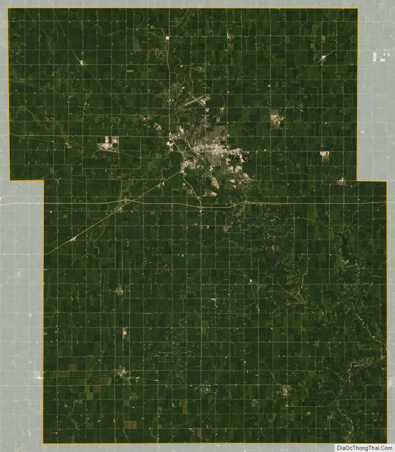
Webster County Satellite Map
Webster County Outline Map