Grundy County is a county located in the U.S. state of Iowa. At the 2020 census, the population was 12,329. The county seat is Grundy Center. The county is named for Felix Grundy, former U.S. Attorney General.
Grundy County is included in the Waterloo–Cedar Falls, IA Metropolitan Statistical Area.
| Name: | Grundy County |
|---|---|
| FIPS code: | 19-075 |
| State: | Iowa |
| Founded: | 1851 |
| Named for: | Felix Grundy |
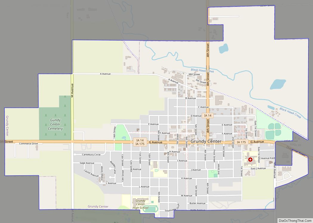
| Seat: | Grundy Center |
| Largest city: | Grundy Center |
| Total Area: | 502 sq mi (1,300 km²) |
| Land Area: | 502 sq mi (1,300 km²) |
| Total Population: | 12,329 |
| Population Density: | 25/sq mi (9.5/km²) |
| Time zone: | UTC−6 (Central) |
| Summer Time Zone (DST): | UTC−5 (CDT) |
| Website: | www.grundycountyiowa.gov |
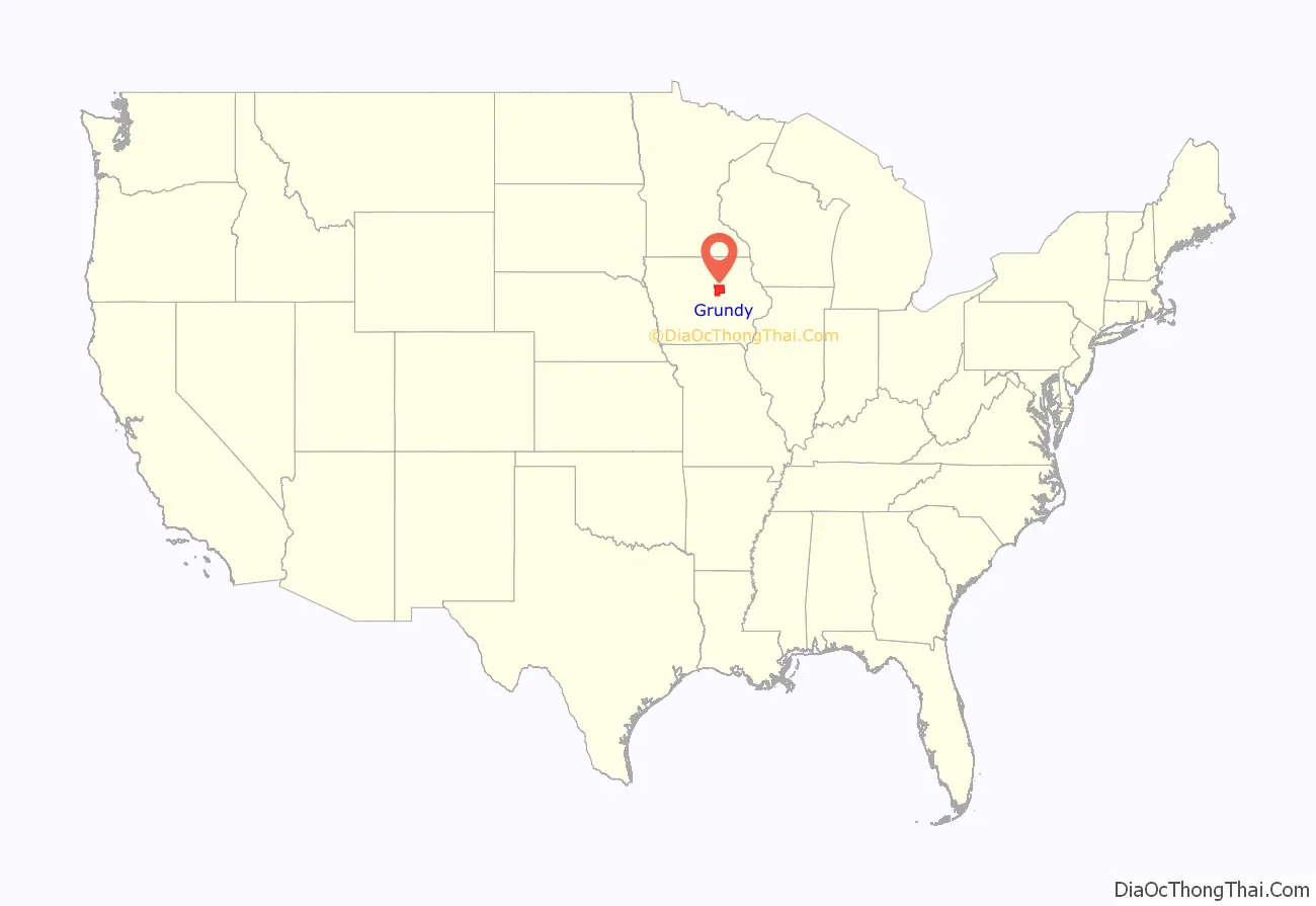
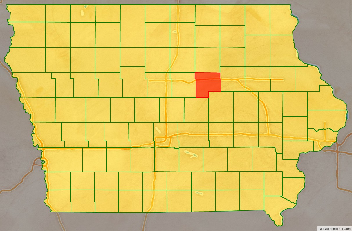
Grundy County location map. Where is Grundy County?
History
Grundy County was formed on January 15, 1851, and became self-governing in 1856. It was named after Felix Grundy of Tennessee, a statesman, Senator, member of the House of Representatives and Attorney General under President James K. Polk.
The first courthouse was built in 1861. The wooden, two-story building contained a courtroom, but was used for other purposes, including housing the office of the sheriff, county treasurer, the judge, as well as a chamber for the jury. The cornerstone for a second courthouse was laid on November 11, 1891.
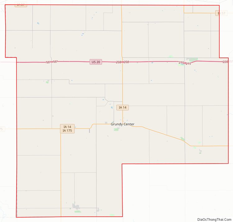
Grundy County Road Map
Geography
According to the U.S. Census Bureau, the county has a total area of 502 square miles (1,300 km), of which 502 square miles (1,300 km) is land and 0.04 square miles (0.10 km) (0.01%) is water.
Major highways
- U.S. Highway 20
- Iowa Highway 14
- Iowa Highway 57
- Iowa Highway 175
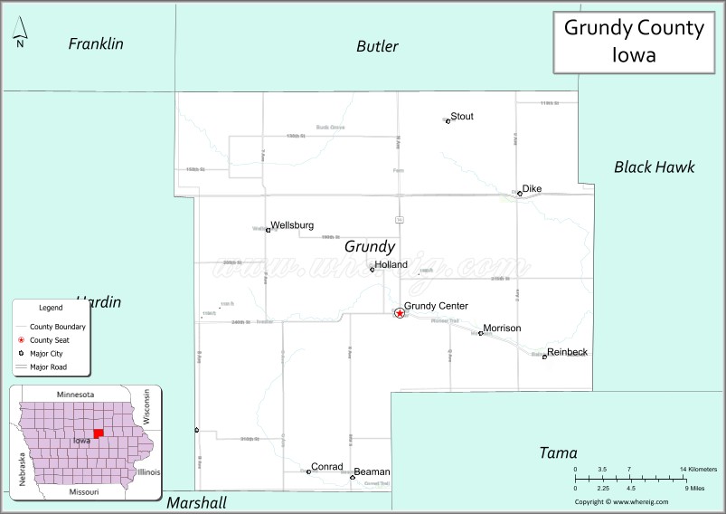
Adjacent counties
- Butler County (north)
- Black Hawk County (east)
- Tama County (southeast)
- Marshall County (southwest)
- Hardin County (west)
- Franklin County (northwest)
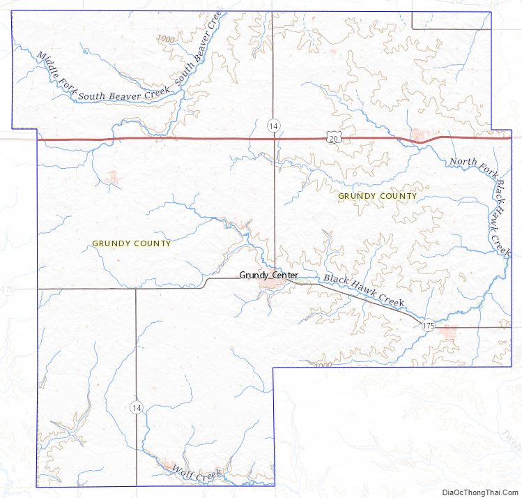
Grundy County Topographic Map
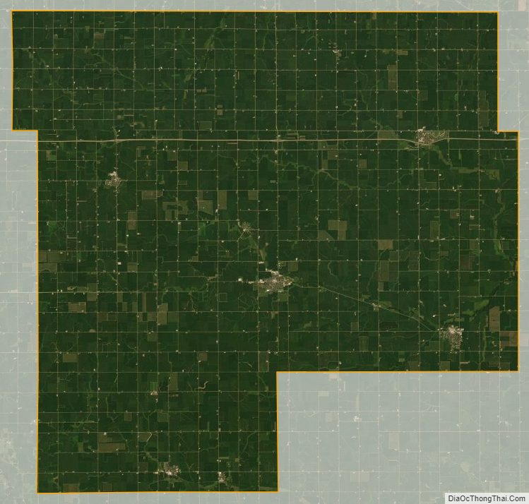
Grundy County Satellite Map
Grundy County Outline Map