Cedar Falls is a city in Black Hawk County, Iowa, United States. As of the 2020 census, the city population was 40,713. Cedar Falls is home to the University of Northern Iowa, a public university.
| Name: | Cedar Falls city |
|---|---|
| LSAD Code: | 25 |
| LSAD Description: | city (suffix) |
| State: | Iowa |
| County: | Black Hawk County |
| Elevation: | 879 ft (268 m) |
| Total Area: | 30.29 sq mi (78.44 km²) |
| Land Area: | 29.43 sq mi (76.23 km²) |
| Water Area: | 0.85 sq mi (2.21 km²) |
| Total Population: | 40,713 |
| Population Density: | 1,383.24/sq mi (534.07/km²) |
| ZIP code: | 50613 |
| Area code: | 319 |
| FIPS code: | 1911755 |
| Website: | cedarfalls.com |
Online Interactive Map
Click on ![]() to view map in "full screen" mode.
to view map in "full screen" mode.
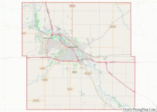
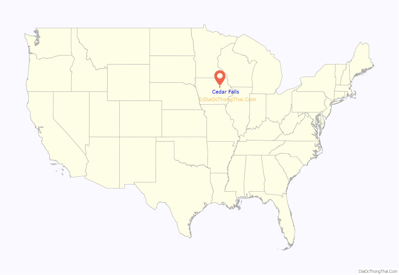
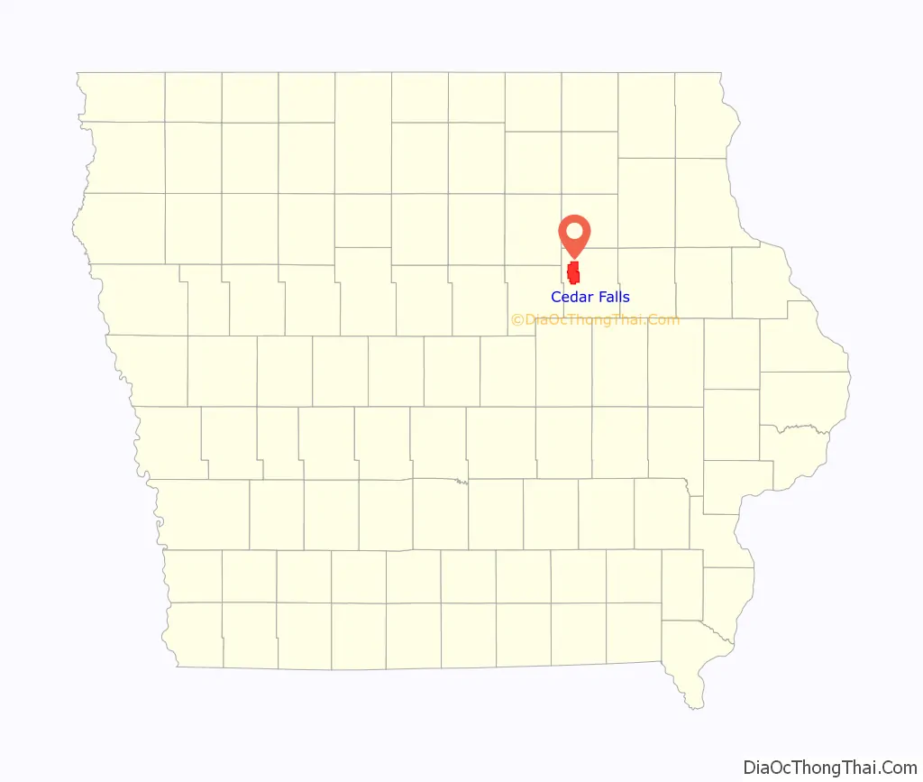
Cedar Falls location map. Where is Cedar Falls city?
History
Cedar Falls was first settled in March 1845 by brothers-in-law William Sturgis and Erasmus D. Adams. Initially, the city was named Sturgis Falls. The city was called Sturgis Falls until it was merged with Cedar City (another city on the other side of the Cedar River), creating Cedar Falls. The city’s founders are honored each year with a week long community-wide celebration named in their honor – the Sturgis Falls Celebration.
Because of the availability of water power, Cedar Falls developed as a milling and industrial center prior to the Civil War. The establishment of the Civil War Soldiers’ Orphans Home in Cedar Falls changed the direction in which the city developed when, following the war, it became the first building on the campus of the Iowa State Normal School (now the University of Northern Iowa).
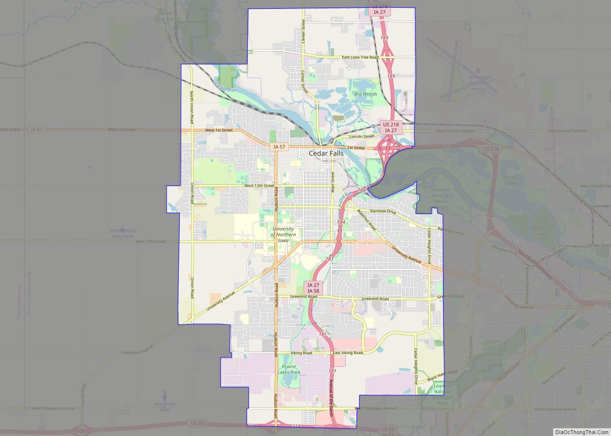
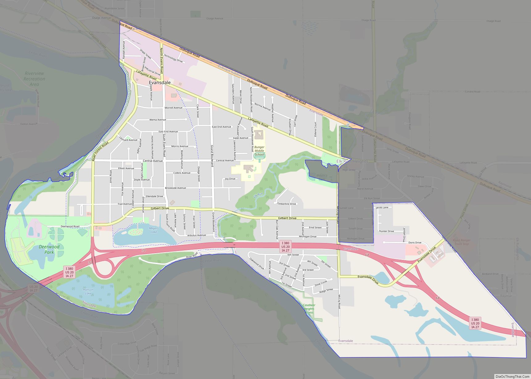
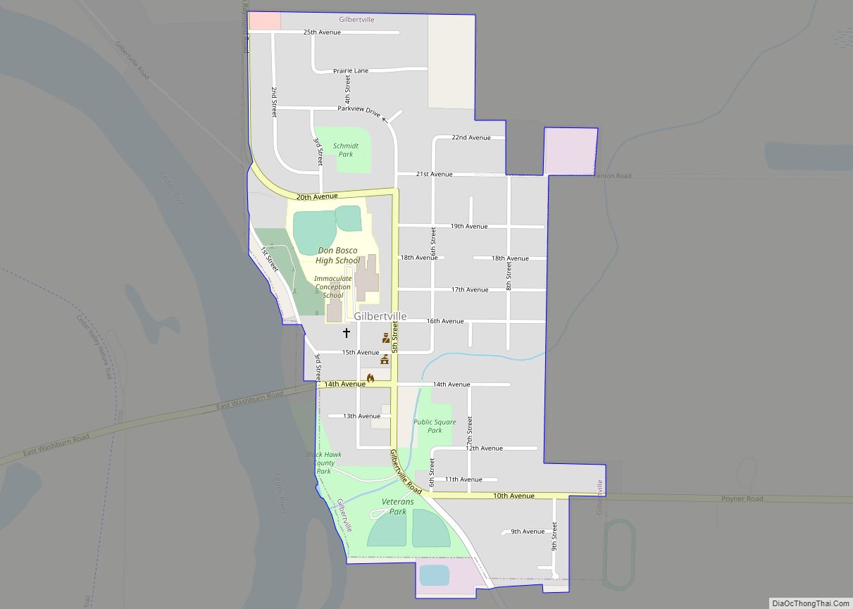
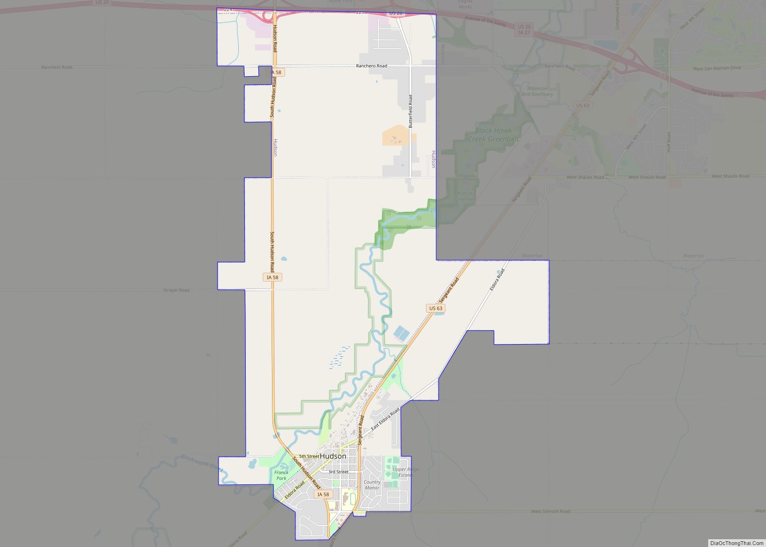
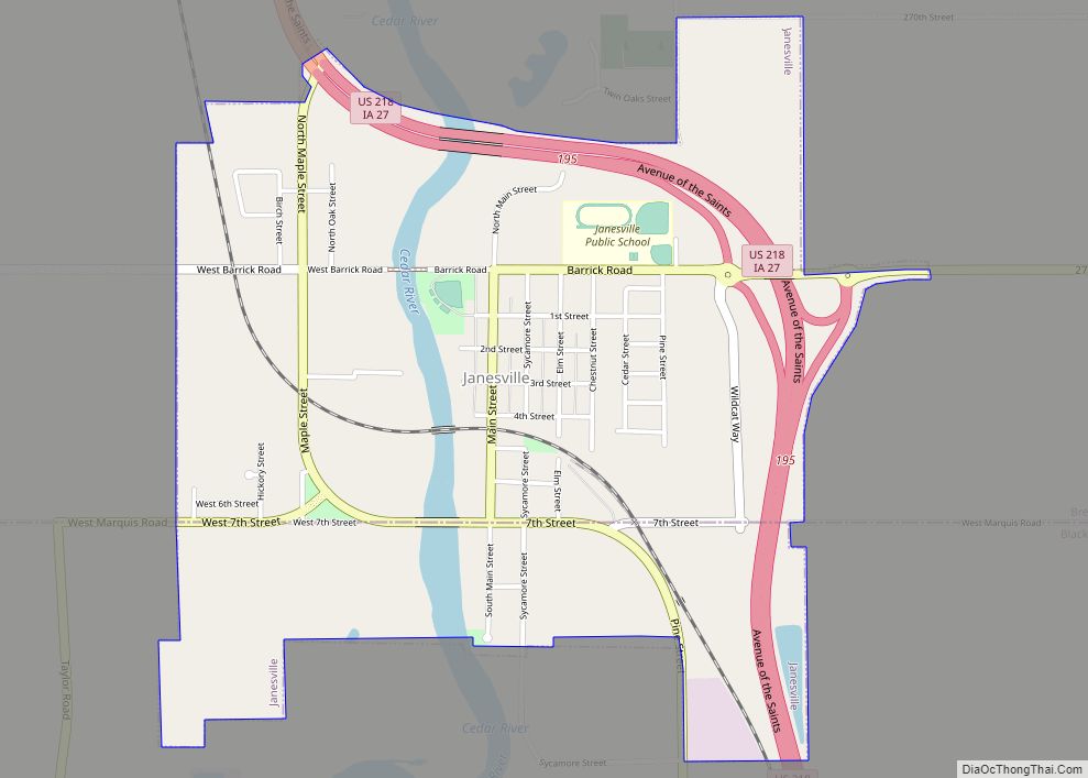
Cedar Falls Road Map
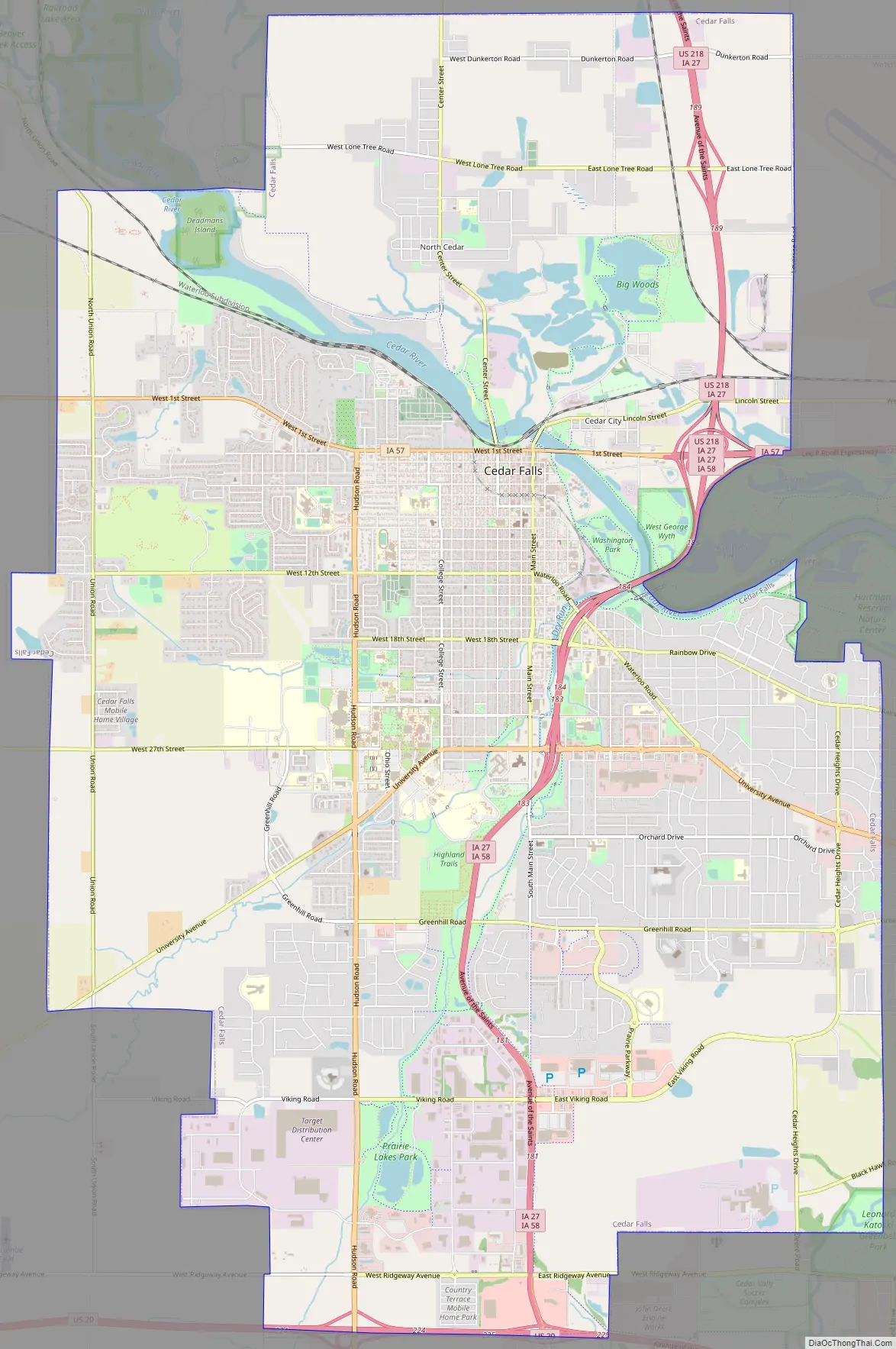
Cedar Falls city Satellite Map
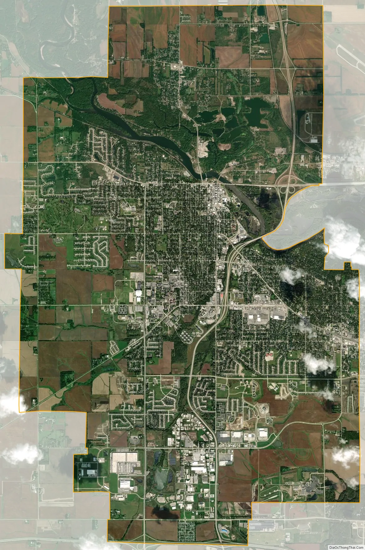
Geography
Cedar Falls is located at 42°31′24″N 92°26′45″W / 42.52333°N 92.44583°W / 42.52333; -92.44583 (42.523520, −92.446402). According to the United States Census Bureau, the city has a total area of 29.61 square miles (76.69 km), of which 28.75 square miles (74.46 km) is land and 0.86 square miles (2.23 km) is water.
Natural forest, prairie and wetland areas are found within the city limits at the Hartman Reserve Nature Center.
See also
Map of Iowa State and its subdivision:- Adair
- Adams
- Allamakee
- Appanoose
- Audubon
- Benton
- Black Hawk
- Boone
- Bremer
- Buchanan
- Buena Vista
- Butler
- Calhoun
- Carroll
- Cass
- Cedar
- Cerro Gordo
- Cherokee
- Chickasaw
- Clarke
- Clay
- Clayton
- Clinton
- Crawford
- Dallas
- Davis
- Decatur
- Delaware
- Des Moines
- Dickinson
- Dubuque
- Emmet
- Fayette
- Floyd
- Franklin
- Fremont
- Greene
- Grundy
- Guthrie
- Hamilton
- Hancock
- Hardin
- Harrison
- Henry
- Howard
- Humboldt
- Ida
- Iowa
- Jackson
- Jasper
- Jefferson
- Johnson
- Jones
- Keokuk
- Kossuth
- Lee
- Linn
- Louisa
- Lucas
- Lyon
- Madison
- Mahaska
- Marion
- Marshall
- Mills
- Mitchell
- Monona
- Monroe
- Montgomery
- Muscatine
- O'Brien
- Osceola
- Page
- Palo Alto
- Plymouth
- Pocahontas
- Polk
- Pottawattamie
- Poweshiek
- Ringgold
- Sac
- Scott
- Shelby
- Sioux
- Story
- Tama
- Taylor
- Union
- Van Buren
- Wapello
- Warren
- Washington
- Wayne
- Webster
- Winnebago
- Winneshiek
- Woodbury
- Worth
- Wright
- Alabama
- Alaska
- Arizona
- Arkansas
- California
- Colorado
- Connecticut
- Delaware
- District of Columbia
- Florida
- Georgia
- Hawaii
- Idaho
- Illinois
- Indiana
- Iowa
- Kansas
- Kentucky
- Louisiana
- Maine
- Maryland
- Massachusetts
- Michigan
- Minnesota
- Mississippi
- Missouri
- Montana
- Nebraska
- Nevada
- New Hampshire
- New Jersey
- New Mexico
- New York
- North Carolina
- North Dakota
- Ohio
- Oklahoma
- Oregon
- Pennsylvania
- Rhode Island
- South Carolina
- South Dakota
- Tennessee
- Texas
- Utah
- Vermont
- Virginia
- Washington
- West Virginia
- Wisconsin
- Wyoming