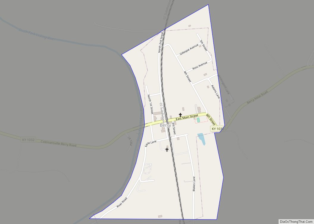
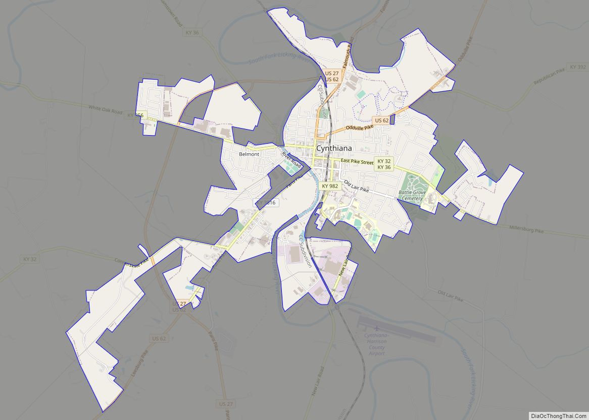
Harrison County is a county located in the U.S. state of Kentucky. As of the 2020 census, the population was 18,692. Its county seat is Cynthiana. The county was founded in 1793 and named for Colonel Benjamin Harrison, an advocate for Kentucky statehood, framer of the Kentucky Constitution, and Kentucky legislator.
| Name: | Harrison County |
|---|---|
| FIPS code: | 21-097 |
| State: | Kentucky |
| Founded: | December 21, 1793 |
| Named for: | Benjamin Harrison (Pennsylvania) |
| Seat: | Cynthiana |
| Largest city: | Cynthiana |
| Total Area: | 310 sq mi (800 km²) |
| Land Area: | 306 sq mi (790 km²) |
| Total Population: | 18,692 |
| Population Density: | 60/sq mi (23/km²) |
| Time zone: | UTC−5 (Eastern) |
| Summer Time Zone (DST): | UTC−4 (EDT) |
| Website: | www.harrisoncountyfiscalcourt.com |
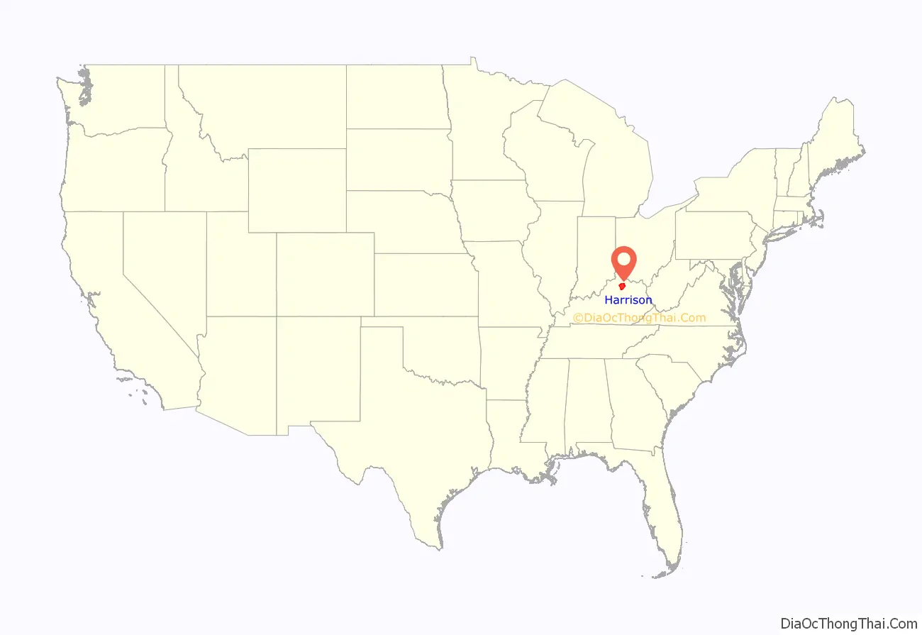
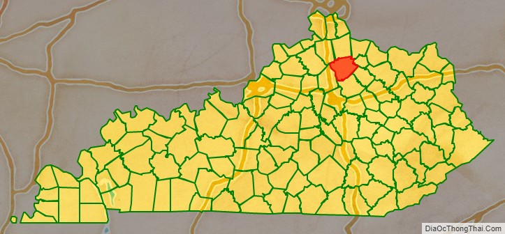
Harrison County location map. Where is Harrison County?
History
Harrison County was formed on December 21, 1793, from portions of Bourbon and Scott Counties. Harrison was the 17th Kentucky county in order of formation. It was named after Colonel Benjamin Harrison, an early settler in the area.
The First Battle of Cynthiana was on July 17, 1862, part of Col. John Hunt Morgan’s First Kentucky Raid. Morgan’s Last Kentucky Raid included on June 11–12, 1864 the Civil War Second Battle of Cynthiana which was fought near Keller’s Bridge and the later site of Battle of Grove Cemetery. On the first day, Confederate General John Hunt Morgan and his 1,200 Kentucky cavalrymen captured the town, making prisoners of its Union garrison (five companies from the 168th Ohio Infantry Regiment and a small group of local home guards) and nearly the entire 171st Ohio Infantry Regiment later that morning. Despite being low on ammunition, Morgan chose to stay and fight the enemy forces he knew were on their way. Union General Stephen G. Burbridge and his 2,400 cavalry and mounted infantry attacked him the next morning, driving the outnumbered Confederates from the town and freeing the prisoners.
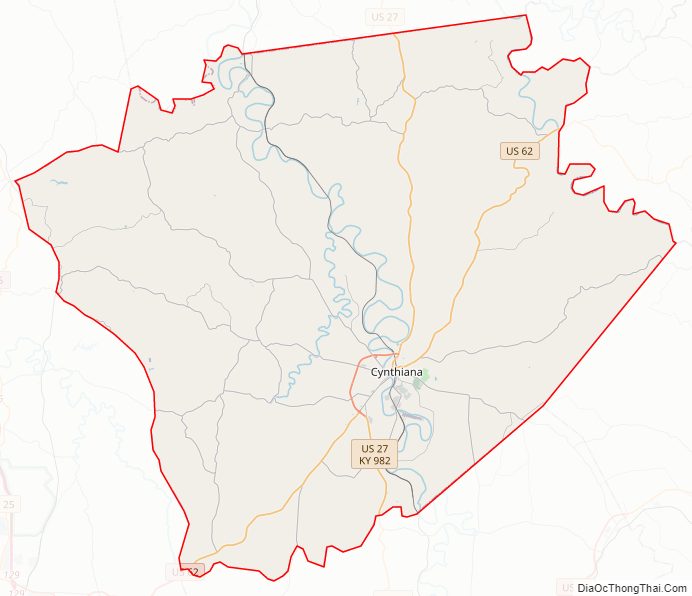
Harrison County Road Map
Geography
According to the United States Census Bureau, the county has a total area of 310 square miles (800 km), of which 306 square miles (790 km) is land and 3.5 square miles (9.1 km) (1.1%) is water.
Major highways
- US 27
- US 62
- KY 36
- KY 32
- KY 356
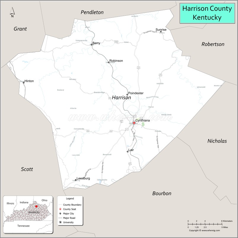
Adjacent counties
- Pendleton County (north)
- Bracken County (northeast)
- Robertson County (northeast)
- Nicholas County (southeast)
- Bourbon County (southeast)
- Scott County (southwest)
- Grant County (northwest)
Harrison County Topographic Map

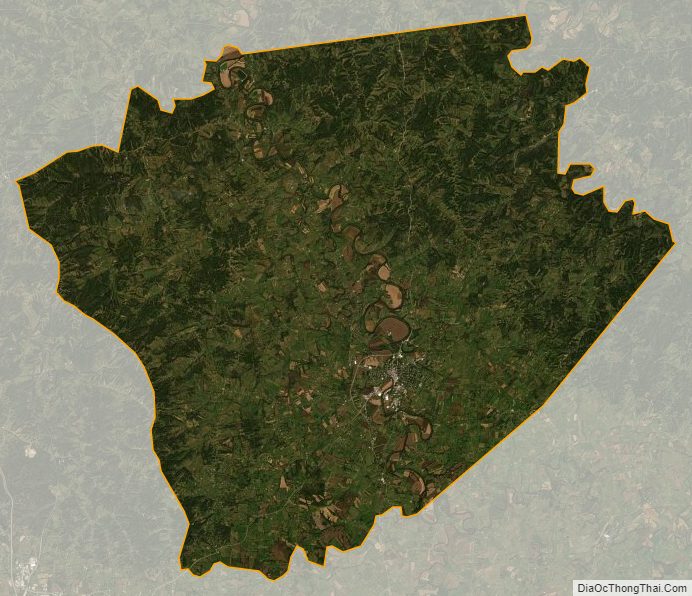
Harrison County Satellite Map
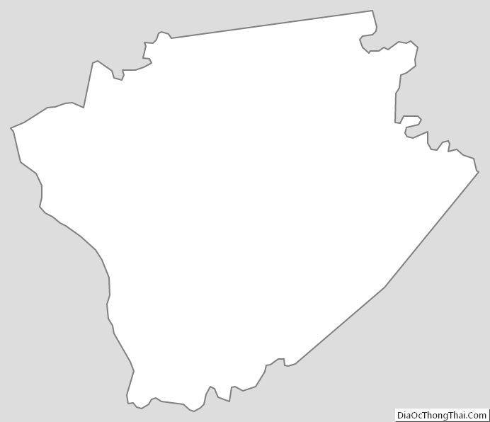
Harrison County Outline Map