Hoke County is a county in the U.S. state of North Carolina. As of the 2020 census, its population was 52,082. Its county seat is Raeford.
Hoke County is part of the Fayetteville metropolitan statistical area. The county is home to part of the Fort Bragg military reservation.
| Name: | Hoke County |
|---|---|
| FIPS code: | 37-093 |
| State: | North Carolina |
| Founded: | 1911 |
| Named for: | Robert F. Hoke |
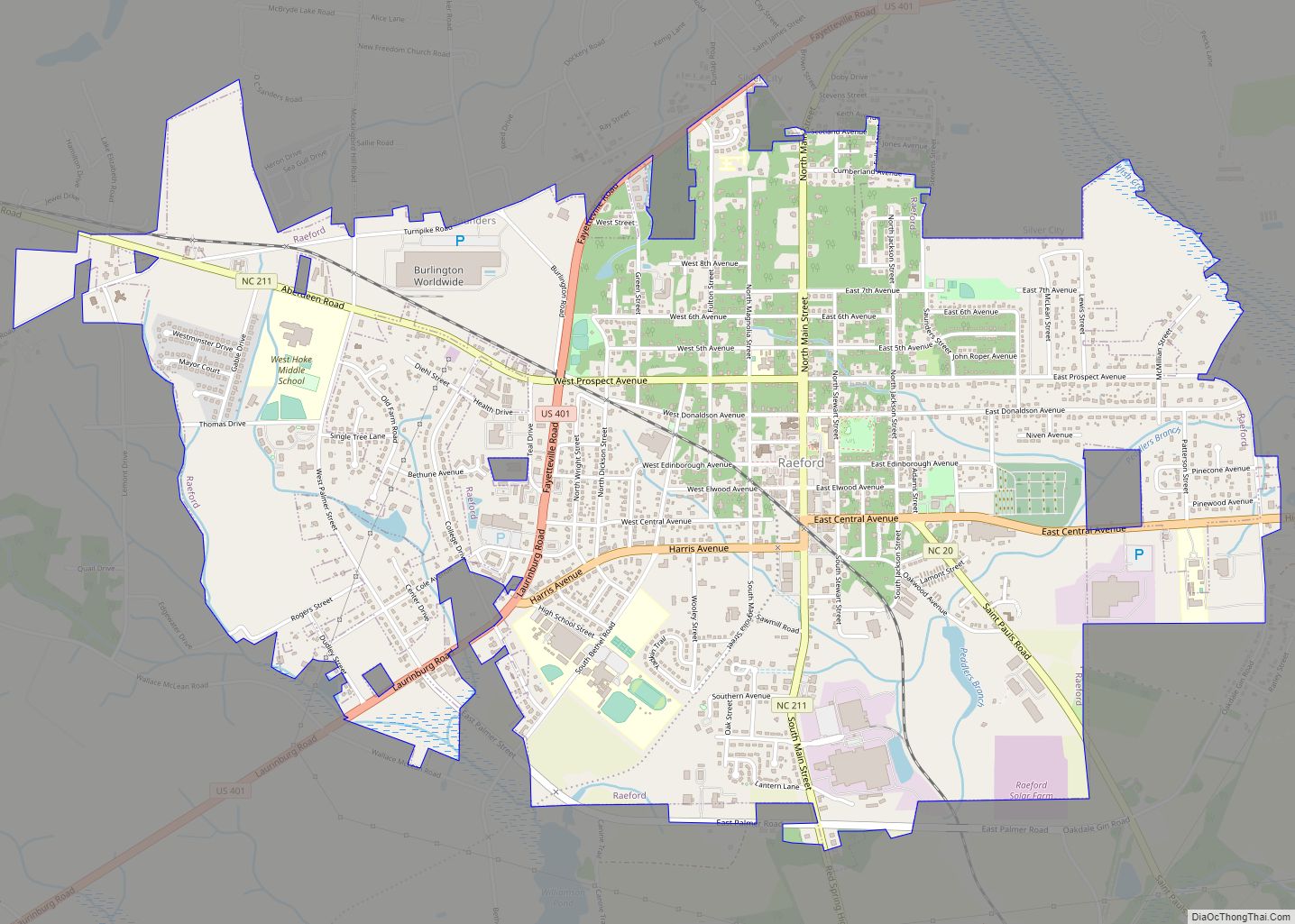
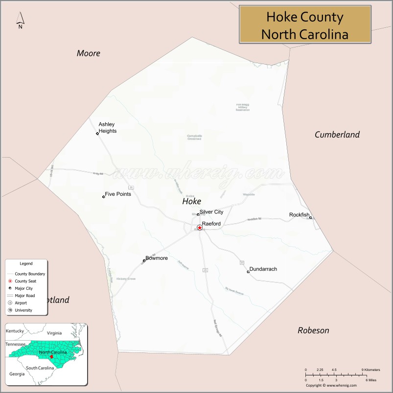
| Seat: | Raeford |
| Largest city: | Raeford |
| Total Area: | 392 sq mi (1,020 km²) |
| Land Area: | 391 sq mi (1,010 km²) |
| Total Population: | 53,114 |
| Population Density: | 135.8/sq mi (52.4/km²) |
| Time zone: | UTC−5 (Eastern) |
| Summer Time Zone (DST): | UTC−4 (EDT) |
| Website: | www.hokecounty.net |
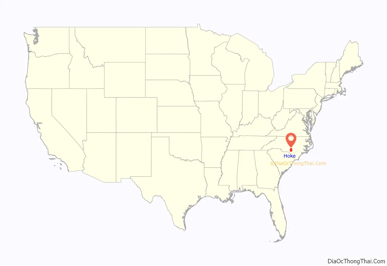
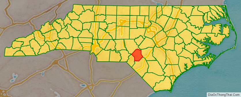
Hoke County location map. Where is Hoke County?
History
The county was formed in 1911 from parts of Cumberland and Robeson Counties. It was named for Robert F. Hoke, a Confederate general in the American Civil War.
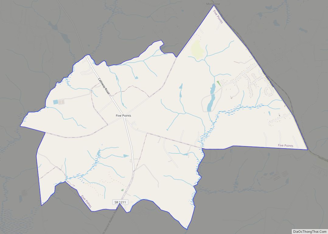
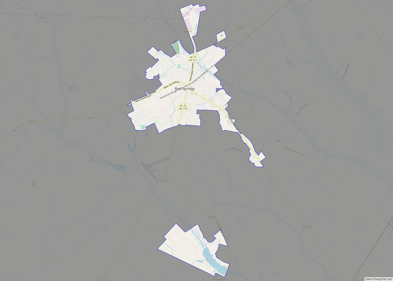
Hoke County Road Map
Geography
According to the U.S. Census Bureau, the county has a total area of 392 square miles (1,020 km), of which 391 square miles (1,010 km) are land and 1.6 square miles (4.1 km) (0.4%) are covered by water.
State and local protected areas
- Calloway Forest Preserve
- Hoke Community Forest
- Lumber River State Park (part)
- Rockfish Game Lands
- Sandhills Game Land (part)
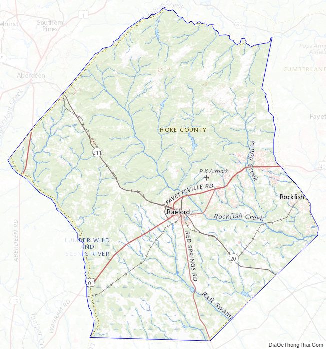
Major water bodies
- Little River (Cape Fear River tributary)
- Little Rockfish Lake
- MacArthur Lake
- Rockfish Creek (Cape Fear River tributary)
Adjacent counties
- Moore County – northwest
- Cumberland County – east
- Robeson County – south
- Scotland County – southwest
Major highways
- US 15
- US 401
- US 401 Bus.
- US 501
- NC 20
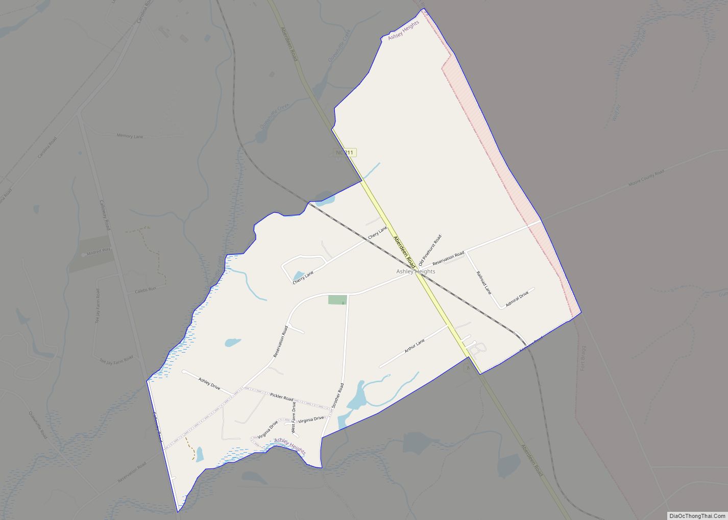
- NC 211
Major Infrastructure
- Fort Bragg (part)
- Mackall Army Air Field (part)
Hoke County Topographic Map
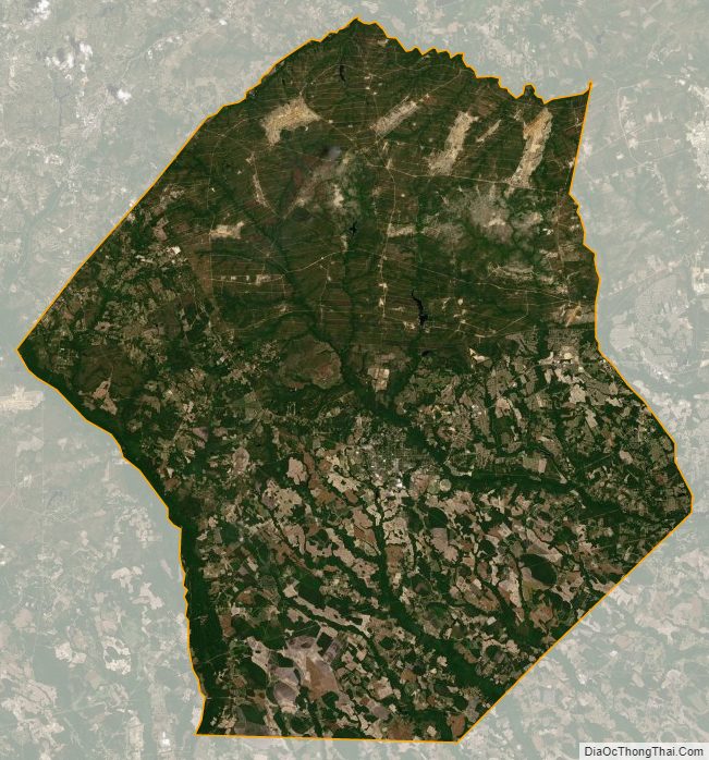
Hoke County Satellite Map
Hoke County Outline Map