Red Springs is a town in Hoke and Robeson counties in the U.S. state of North Carolina. The population was 3,428 at the 2010 census.
| Name: | Red Springs town |
|---|---|
| LSAD Code: | 43 |
| LSAD Description: | town (suffix) |
| State: | North Carolina |
| County: | Hoke County, Robeson County |
| Elevation: | 207 ft (63 m) |
| Total Area: | 3.67 sq mi (9.50 km²) |
| Land Area: | 3.50 sq mi (9.07 km²) |
| Water Area: | 0.17 sq mi (0.44 km²) |
| Total Population: | 3,087 |
| Population Density: | 882.00/sq mi (340.50/km²) |
| ZIP code: | 28377 |
| FIPS code: | 3755660 |
| GNISfeature ID: | 1022199 |
| Website: | www.redsprings.org |
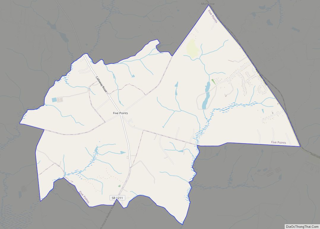
Online Interactive Map
Click on ![]() to view map in "full screen" mode.
to view map in "full screen" mode.
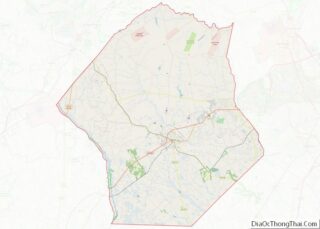
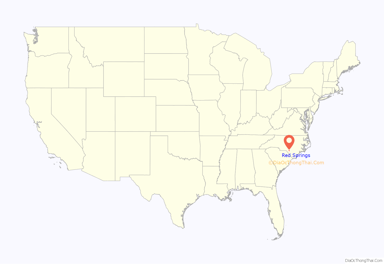
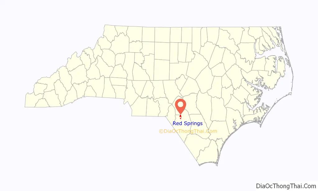
Red Springs location map. Where is Red Springs town?
History
One of the first settlers in this community was “Sailor Hector” McNeill. It is not known exactly how he got his nickname, but he is found using it in the Bladen County tax lists of 1771. (Red Springs is in Robeson County which was formed from Bladen County in 1787.) “Sailor Hector” McNeill’s home was at the top of the hill on the edge of the McNeill cemetery in town, and he and his wife Mary are buried there in unmarked graves. In 1775, McNeill secured a royal land grant from King George III of England for the area encompassing the eventual town.
In the mid-1800s the community served as a summer resort, with visitors attracted to its mineral springs. By around 1852, Malcolm McNiell, Hector’s grandson, had established a hotel to serve vacationers. It remained in operation until another hotel was built by S. R. Townsend in 1891. A line of the Cape Fear and Yadkin Valley Railway was laid through the community in June 1884, and at about that time a post office was opened under the name Dora. The following year the name of the post office was changed to Red Springs in homage to the rusty color of the spring water. In 1887 the community was incorporated at the impetus of legislator Hamilton McMillan, a resident of the town. The following year the Scottish Chief newspaper was founded. It published there for several years before being moved to Maxton. On February 17, 1906, a large section of the downtown was destroyed by fire.
Between 1896 and 1915, Red Springs had a military school for boys as well as the Southern Conservatory of Music for girls from all over the country. The military school is long gone, but in time the conservatory became Flora McDonald College, known today as Flora McDonald Academy, a private day school. In the 1840s, Floral College for young women was established a few miles south of town by a local lawyer, John Gilchrist, Jr. of Mill Prong House. The school operated until the Civil War, reopened afterward, but closed its doors around 1870.
From 1947 to 1950, Red Springs fielded a professional minor league baseball team, the Red Springs Red Robins, that was a farm team of the Philadelphia Athletics. The team won the Tobacco State League championship in 1948. In 1949, led by pitcher Bill Harrington, who would go on to pitch for the big league parent club, the Red Robins won a second title. The 1950 team was led by player/manager Ducky Detweiler, who had played for the Boston Braves.
Professional baseball returned to Red Springs in 1969 when Red Springs Twins played, as the Minnesota Twins organization moved its Class A franchise from Wilson, N.C. During the year the club drew more than 40,000 fans and were managed by Tom Umphlett, a former major leaguer and North Carolina native. Six future major Leaguers were on the Red Springs roster. The team lasted only one season and were featured in Sports Illustrated magazine.
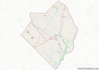
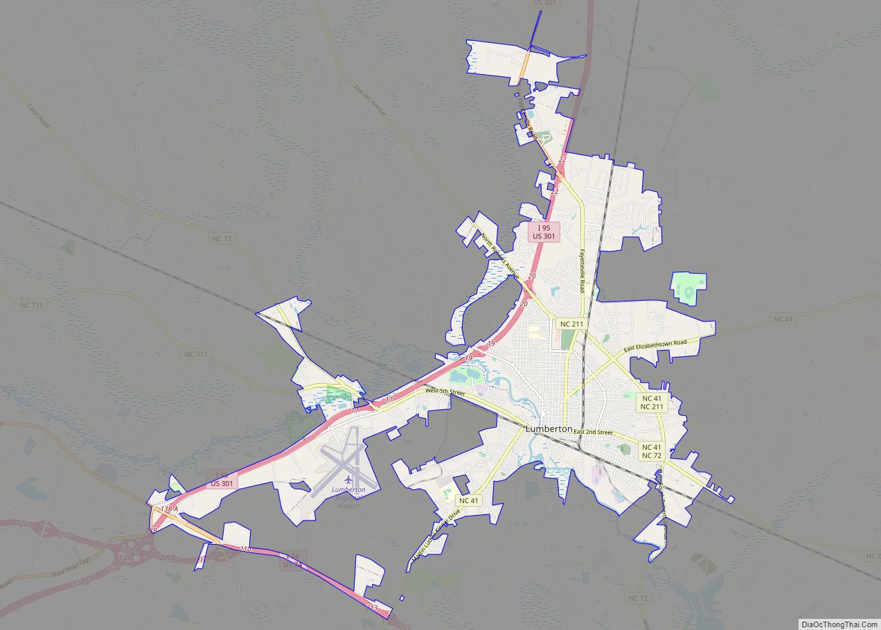
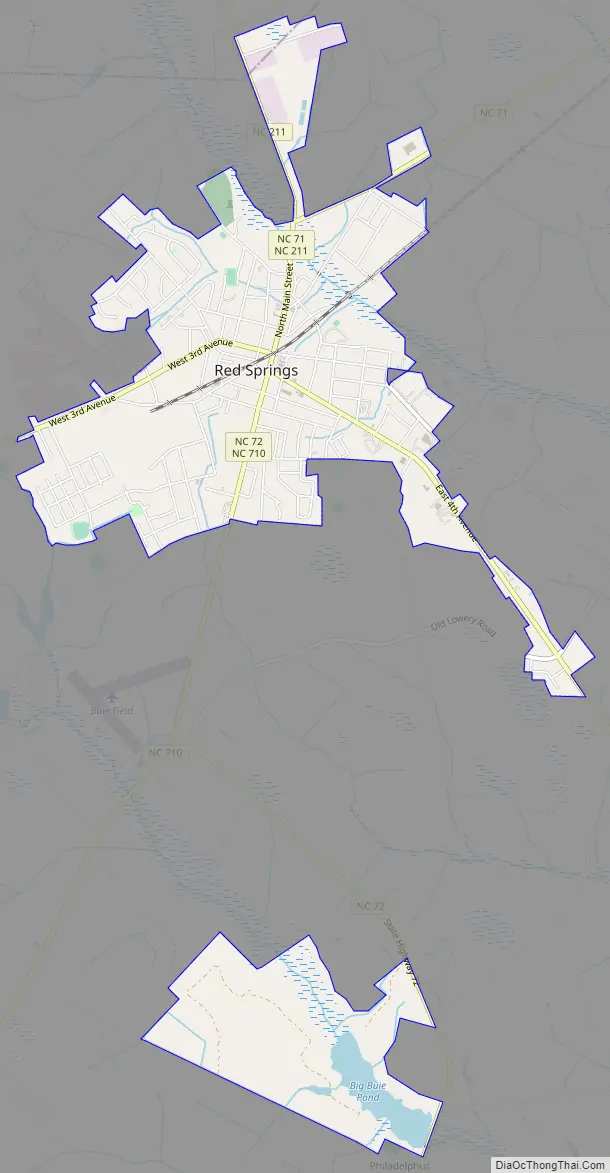
Red Springs Road Map
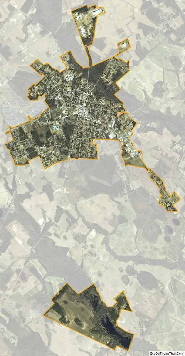
Red Springs city Satellite Map
Geography
Red Springs is located in northern Robeson County at 34°48′52″N 79°11′3″W / 34.81444°N 79.18417°W / 34.81444; -79.18417 (34.814363, -79.184281). North Carolina Highways 211 and 71 are the main roads through the town, joining to form North Main Street. NC-211 leads north 12 miles (19 km) to Raeford and southeast 18 miles (29 km) to Lumberton, while NC-71 leads northeast 8 miles (13 km) to Lumber Bridge and southwest 12 miles (19 km) to Maxton. North Carolina Highway 72 leaves Red Springs on South Main Street, leading south via Philadelphus 19 miles (31 km) to Lumberton.
According to the United States Census Bureau, the town of Red Springs has a total area of 3.7 square miles (9.5 km), of which 3.5 square miles (9.1 km) are land and 0.2 square miles (0.4 km), or 4.61%, are water bodies.
See also
Map of North Carolina State and its subdivision:- Alamance
- Alexander
- Alleghany
- Anson
- Ashe
- Avery
- Beaufort
- Bertie
- Bladen
- Brunswick
- Buncombe
- Burke
- Cabarrus
- Caldwell
- Camden
- Carteret
- Caswell
- Catawba
- Chatham
- Cherokee
- Chowan
- Clay
- Cleveland
- Columbus
- Craven
- Cumberland
- Currituck
- Dare
- Davidson
- Davie
- Duplin
- Durham
- Edgecombe
- Forsyth
- Franklin
- Gaston
- Gates
- Graham
- Granville
- Greene
- Guilford
- Halifax
- Harnett
- Haywood
- Henderson
- Hertford
- Hoke
- Hyde
- Iredell
- Jackson
- Johnston
- Jones
- Lee
- Lenoir
- Lincoln
- Macon
- Madison
- Martin
- McDowell
- Mecklenburg
- Mitchell
- Montgomery
- Moore
- Nash
- New Hanover
- Northampton
- Onslow
- Orange
- Pamlico
- Pasquotank
- Pender
- Perquimans
- Person
- Pitt
- Polk
- Randolph
- Richmond
- Robeson
- Rockingham
- Rowan
- Rutherford
- Sampson
- Scotland
- Stanly
- Stokes
- Surry
- Swain
- Transylvania
- Tyrrell
- Union
- Vance
- Wake
- Warren
- Washington
- Watauga
- Wayne
- Wilkes
- Wilson
- Yadkin
- Yancey
- Alabama
- Alaska
- Arizona
- Arkansas
- California
- Colorado
- Connecticut
- Delaware
- District of Columbia
- Florida
- Georgia
- Hawaii
- Idaho
- Illinois
- Indiana
- Iowa
- Kansas
- Kentucky
- Louisiana
- Maine
- Maryland
- Massachusetts
- Michigan
- Minnesota
- Mississippi
- Missouri
- Montana
- Nebraska
- Nevada
- New Hampshire
- New Jersey
- New Mexico
- New York
- North Carolina
- North Dakota
- Ohio
- Oklahoma
- Oregon
- Pennsylvania
- Rhode Island
- South Carolina
- South Dakota
- Tennessee
- Texas
- Utah
- Vermont
- Virginia
- Washington
- West Virginia
- Wisconsin
- Wyoming